
Quick report
Snow surfaces started to warm as soon as the sun was on them. East aspects took on heat first and south quickly followed. At high elevations or in more wind exposed areas, the light breeze was doing a lot to keep snow surfaces from warming up.
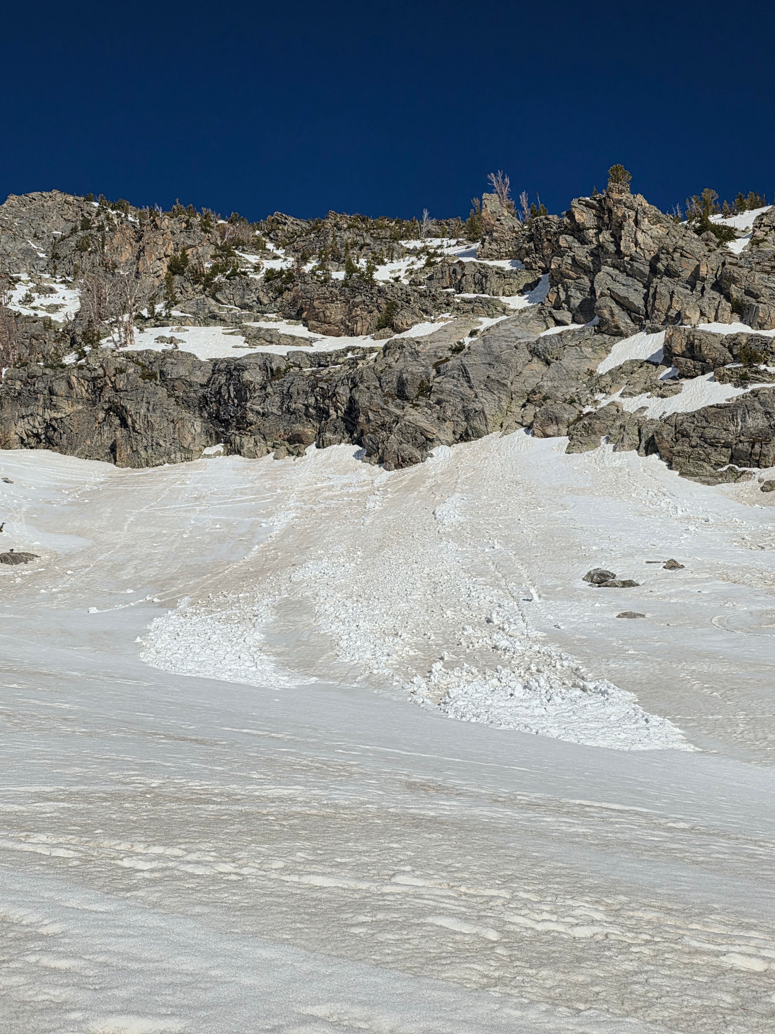
Due south was the only aspect that had a truly supportable diurnal crust on it. East had more of a reheated cold snow feel to it with a very thin ice lens on top. I was able to initiate roller balls on this snow but could not get any real movement of the surface snow on test slopes. I think later on in the day you may be able to get snow to entrain more and create wet loose avalanches.
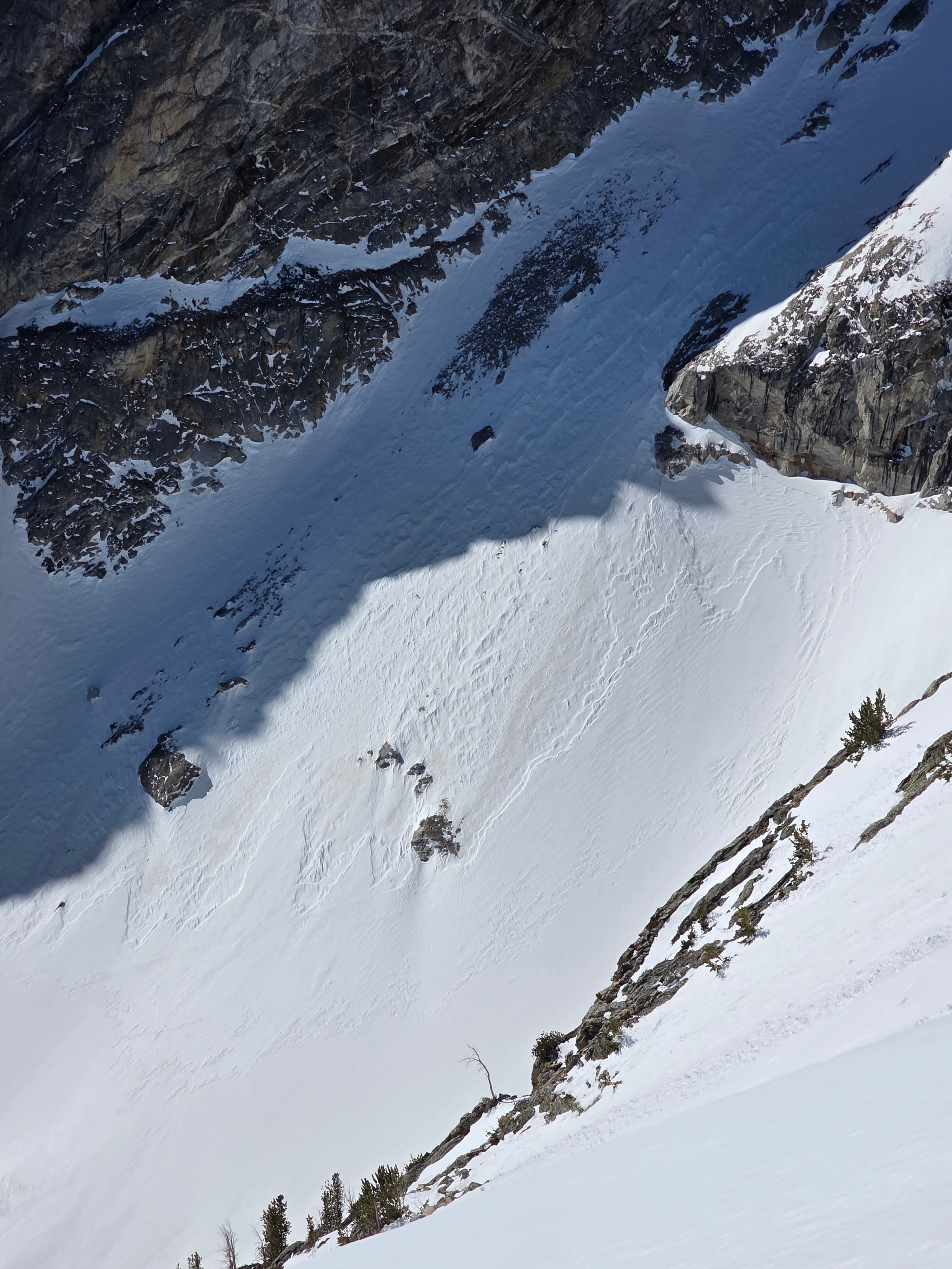
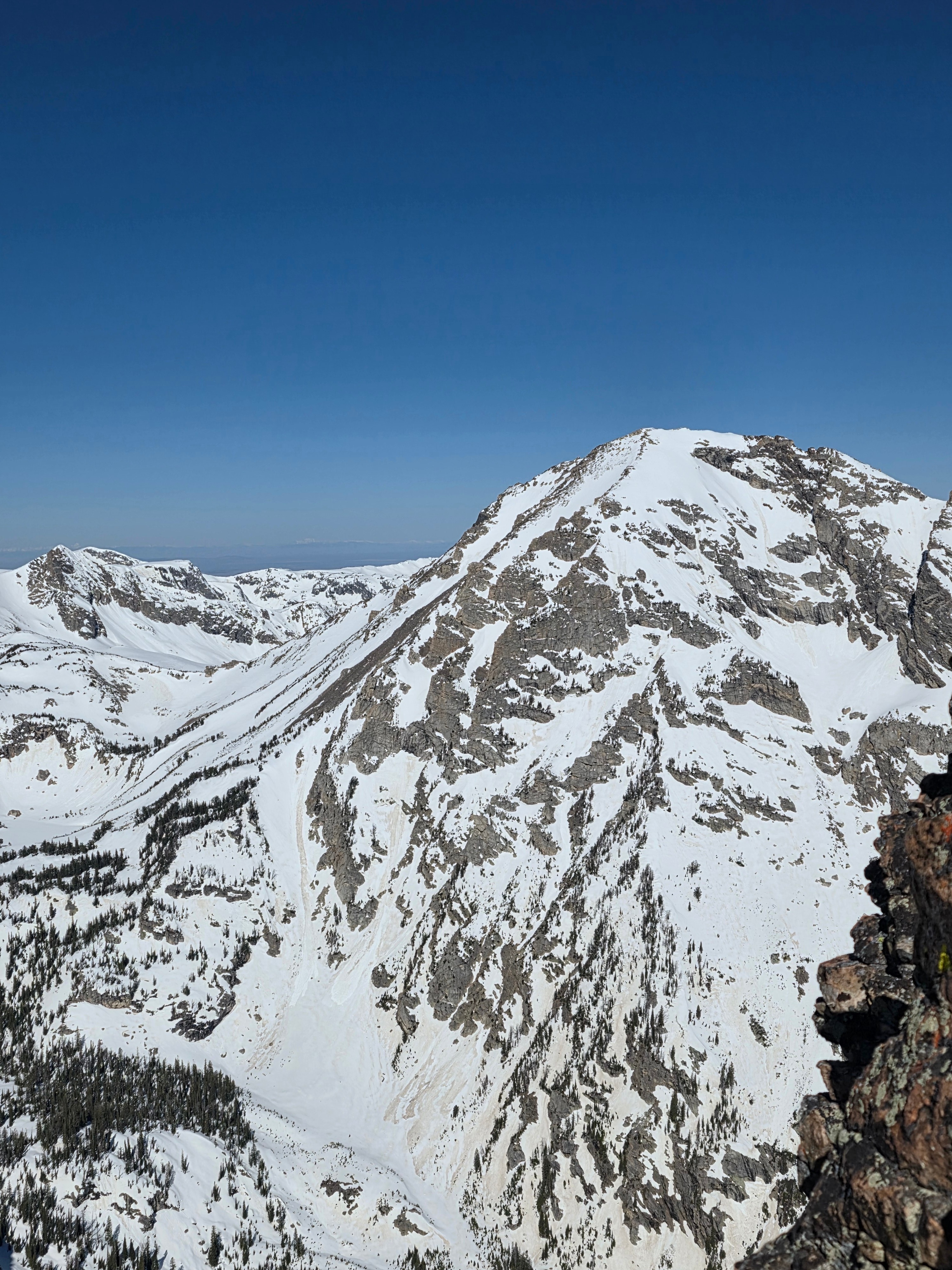
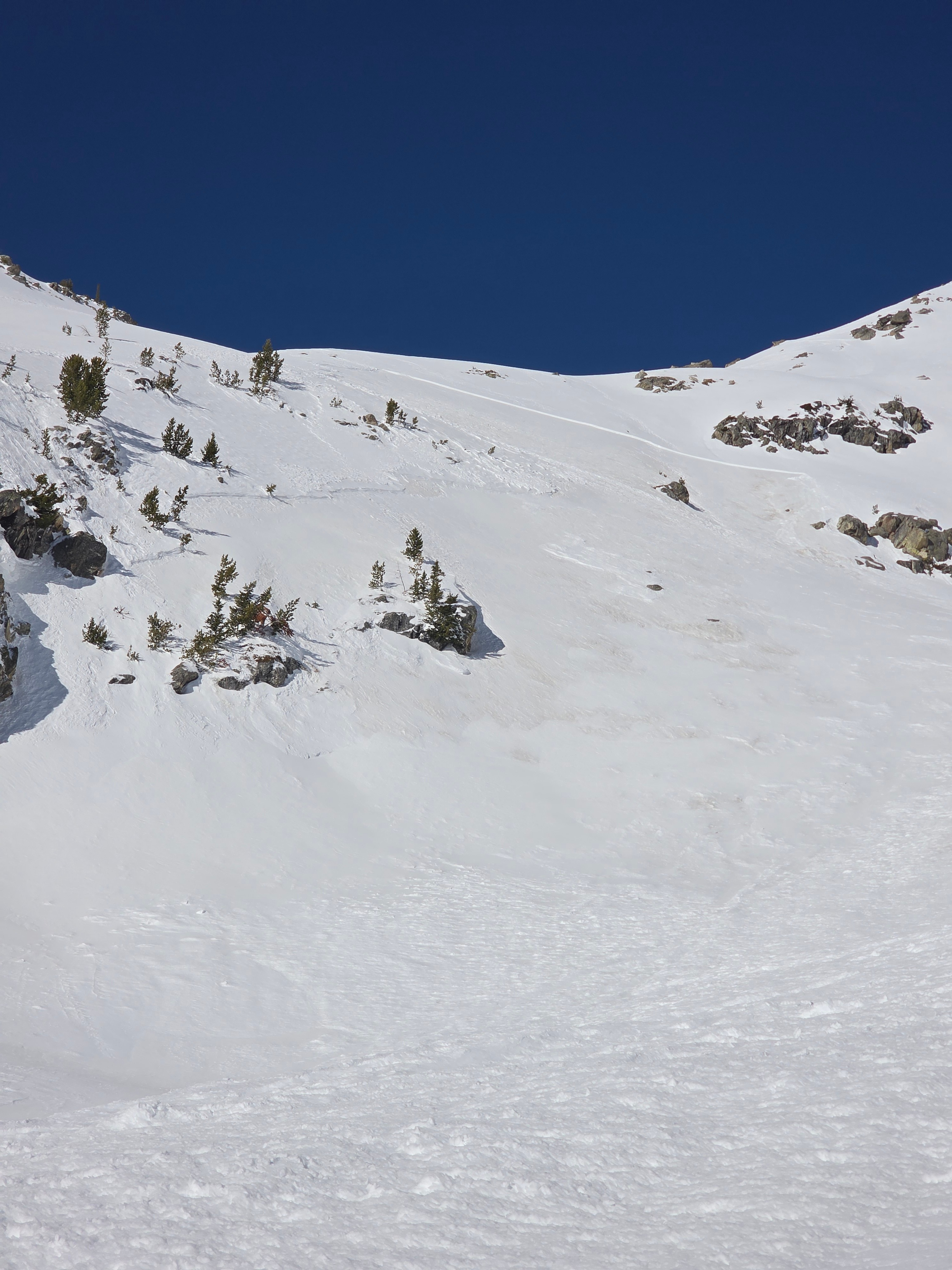
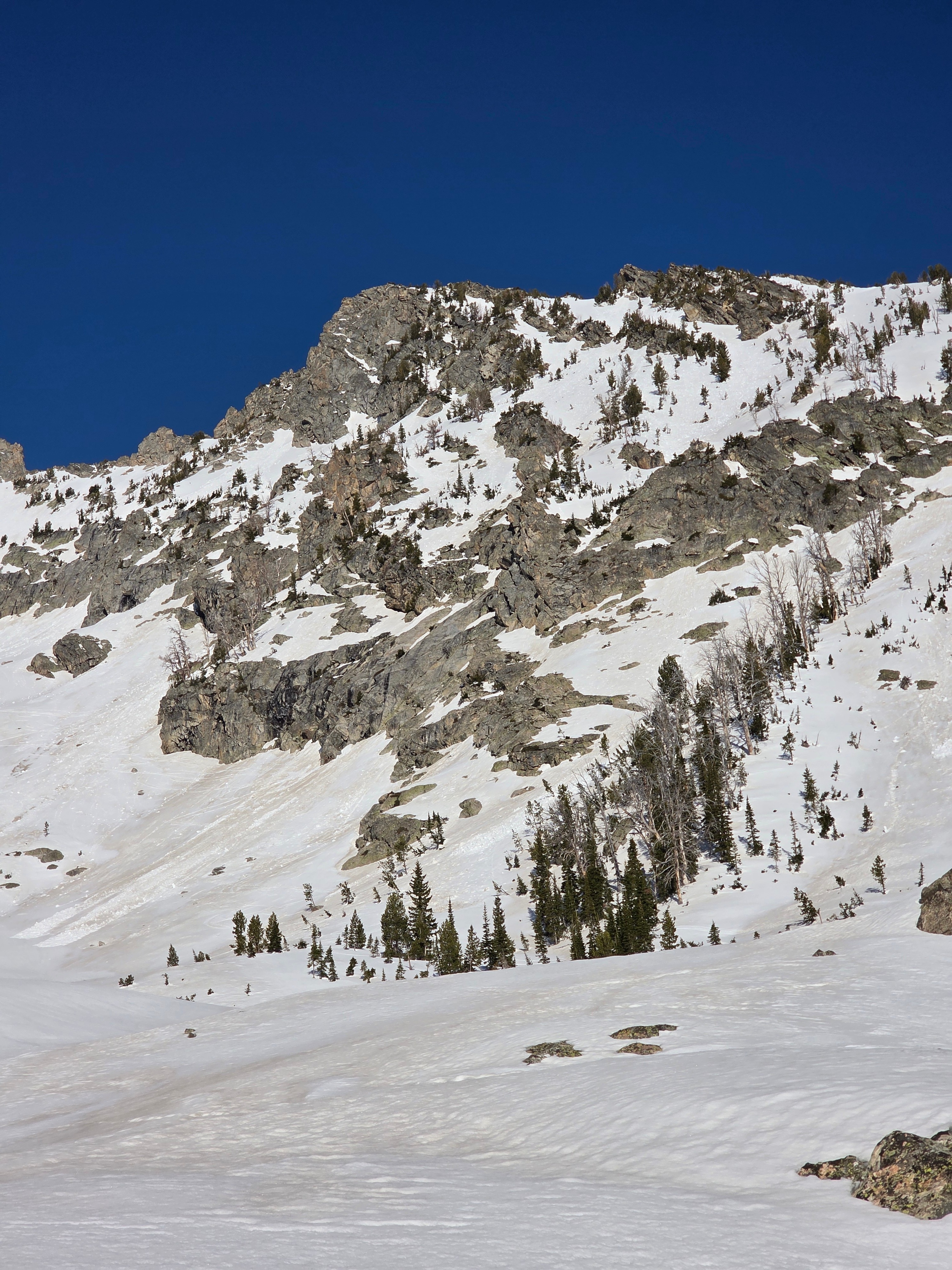
There were lots of old avalanches to observe, including the slab avalanche that happened on April 4th. Reflecting back on this active period, avalanches like this and the ones in Cody Bowl outside of JHMR seemed to have 3 main things in common aside from a trigger: a density change in the storm snow, some wind loading, and especially strong April sunshine that changed the characteristics of the slab. This was a solid D2 avalanche.
Travel at low elevations is difficult as some areas are melted and others are not. The nighttime freeze helps with travel in the morning, but the snowpack becomes isothermic and punchy by mid morning. I think things will be easier once summer trails fully melt out.
Weather
- Cloud Cover
- few
Mostly clear morning with some in and out scattered clouds building in the afternoon. Temperatures were above freezing. Winds were light from the west.