
Quick report
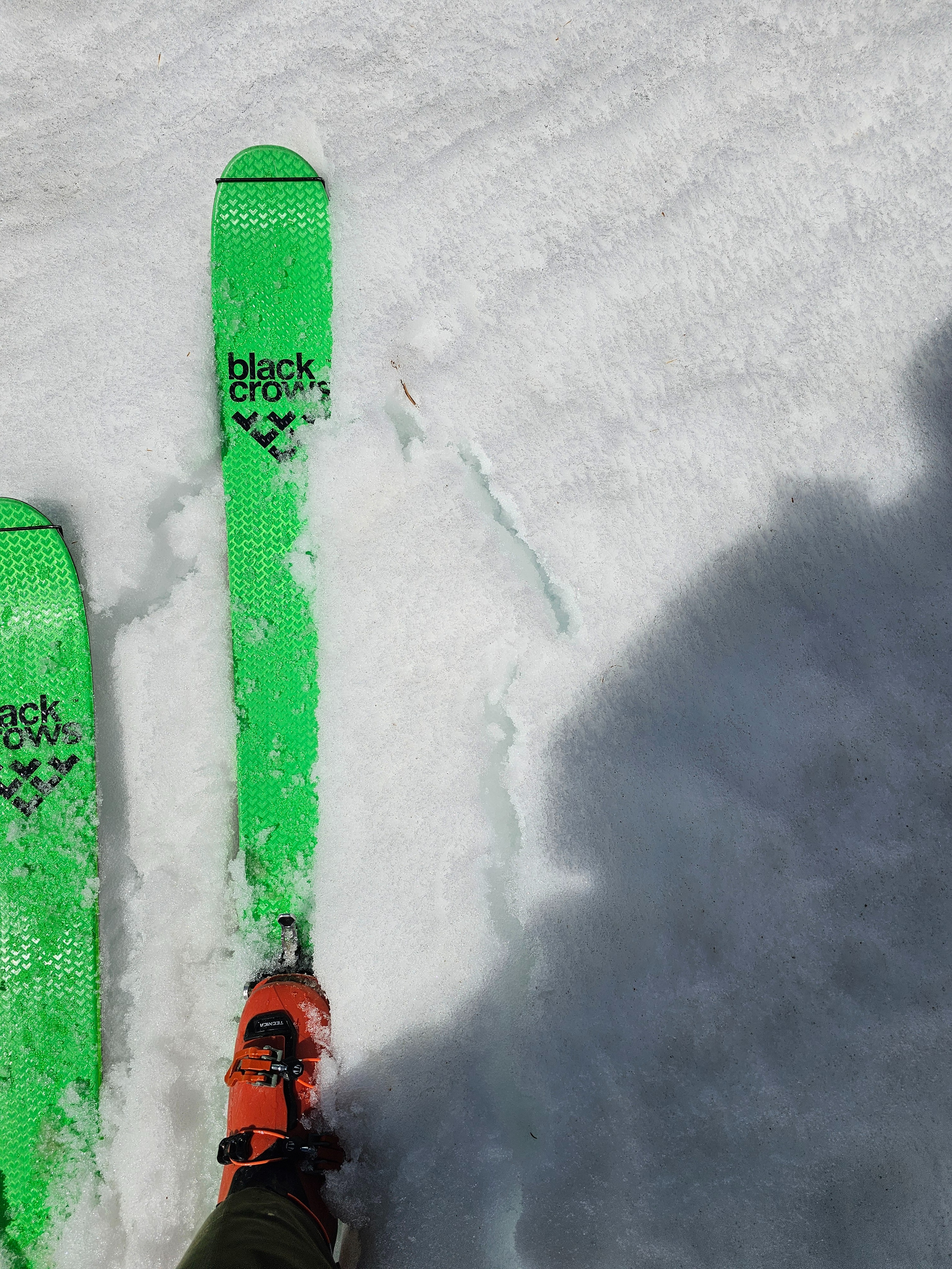
All aspects started the day crust and firm from a refreeze overnight, the crust was supportable. As the day moved on there was a period of good skiing, then the crust started to soften, allowing us to punch through into the wet, unfrozen snow below on south and east aspects. While temperatures got colder than they have in a little while, there is still lots of water in the snowpack, especially on solar slopes.
On northerly slopes at high elevation some free water has entered the snowpack, but there is still plenty of cold snow, especially compared to other forecast regions. I doubt that the northerly slopes at upper elevations will soften today due to more moderate temperatures and wind, if they did it would be a breakable crust. The good news is that it is very unlikely you would impact a buried weak layer on these northerly slopes at upper elevations.
My biggest concern for avalanches is triggering a wet loose or maybe a wet slab on very steep terrain, late in the day. If travelling in avalanche terrain, the best travel advice is to get in and out of the mountains early before steep slopes warm and destabilize.
Weather
- Air Temp
- Below freezing until about 8:30 am, then in 30s abd 40s F
- Cloud Cover
- scattered
- Wind Loading
- none
- Snow Avail For Transport
- none
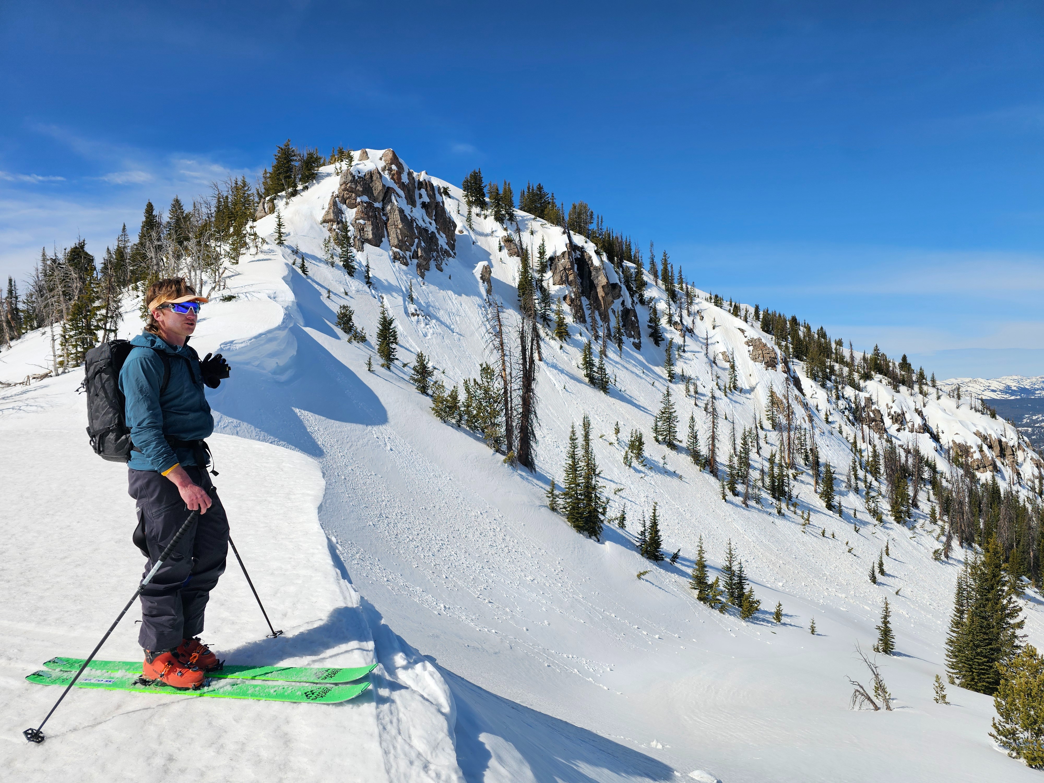
Some high clouds but still felt pretty sunny, south of Togwotee had more clouds. Winds were light from the west. Temperatures warmed pretty fast, warming southerly slopes.