
Quick report
Cold temperatures throughout the day eliminated typical wet-avalanche problems for this time of year. The minimal new snow on top of the underlying soft, wet crust seemed to lack the characteristics for any major wind slab concern, despite finding some isolated pockets of wind loaded snow on easterly aspects.
Weather
- Air Temp
- 20
- Cloud Cover
- overcast
- Wind Loading
- light
- Recent Snowfall
- 3cm
- Snow Avail For Transport
- small smounts
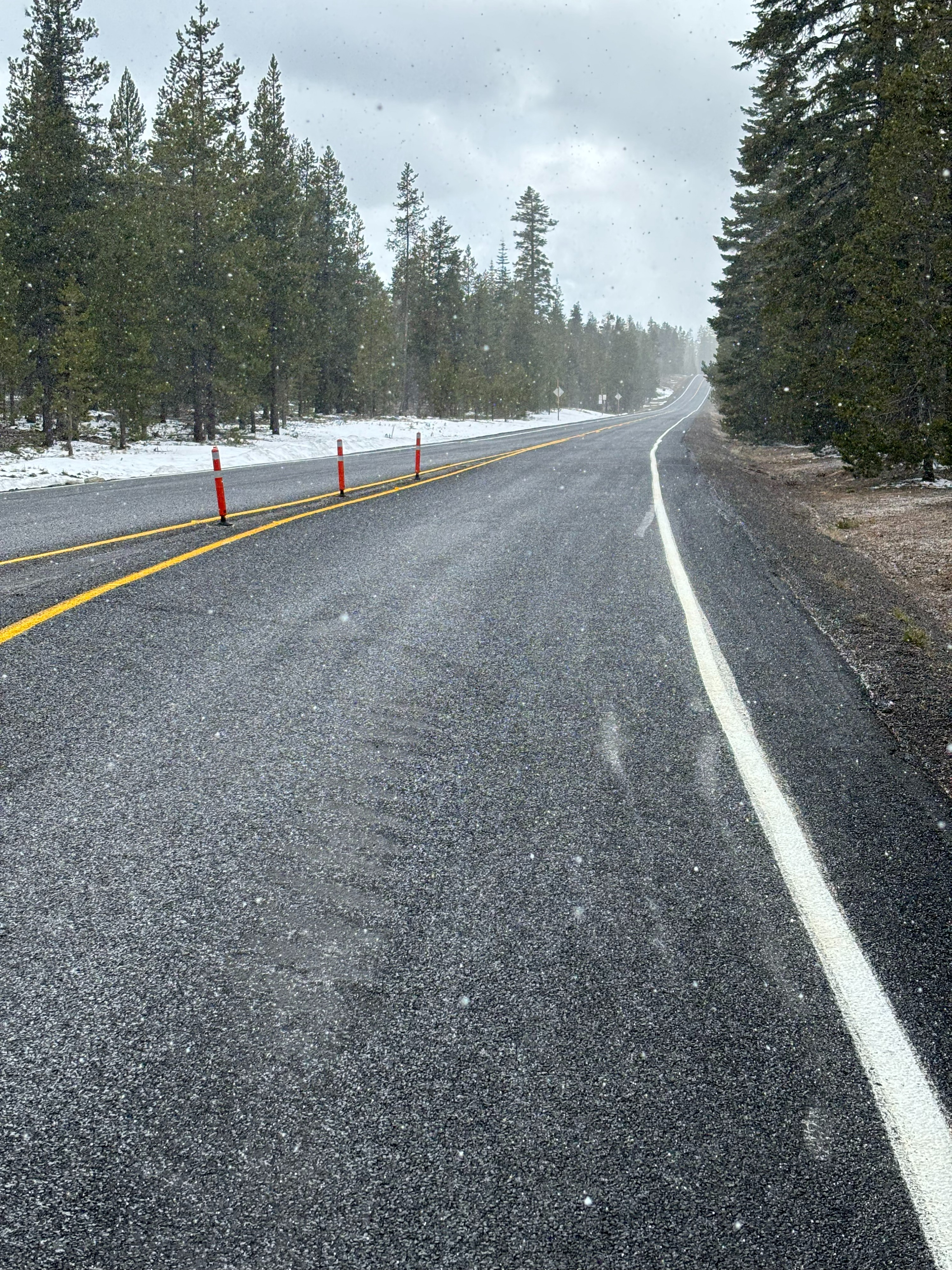
Cloudy throughout the morning with small occasional breaks in the clouds in the afternoon. On and off precipitation throughout the day, mostly S-1 (falling at a rate of less than one cm/hour), however while biking back to 10 mile snopark, there was about 30 minutes of graupel coming down at a rate of 1-2cm/hour. Winds were mostly light through the morning with moderate gusts from the west felt around noon on the summit. Winds appeared to pick up while exiting mid-afternoon, staying out of the west.
Snowpack
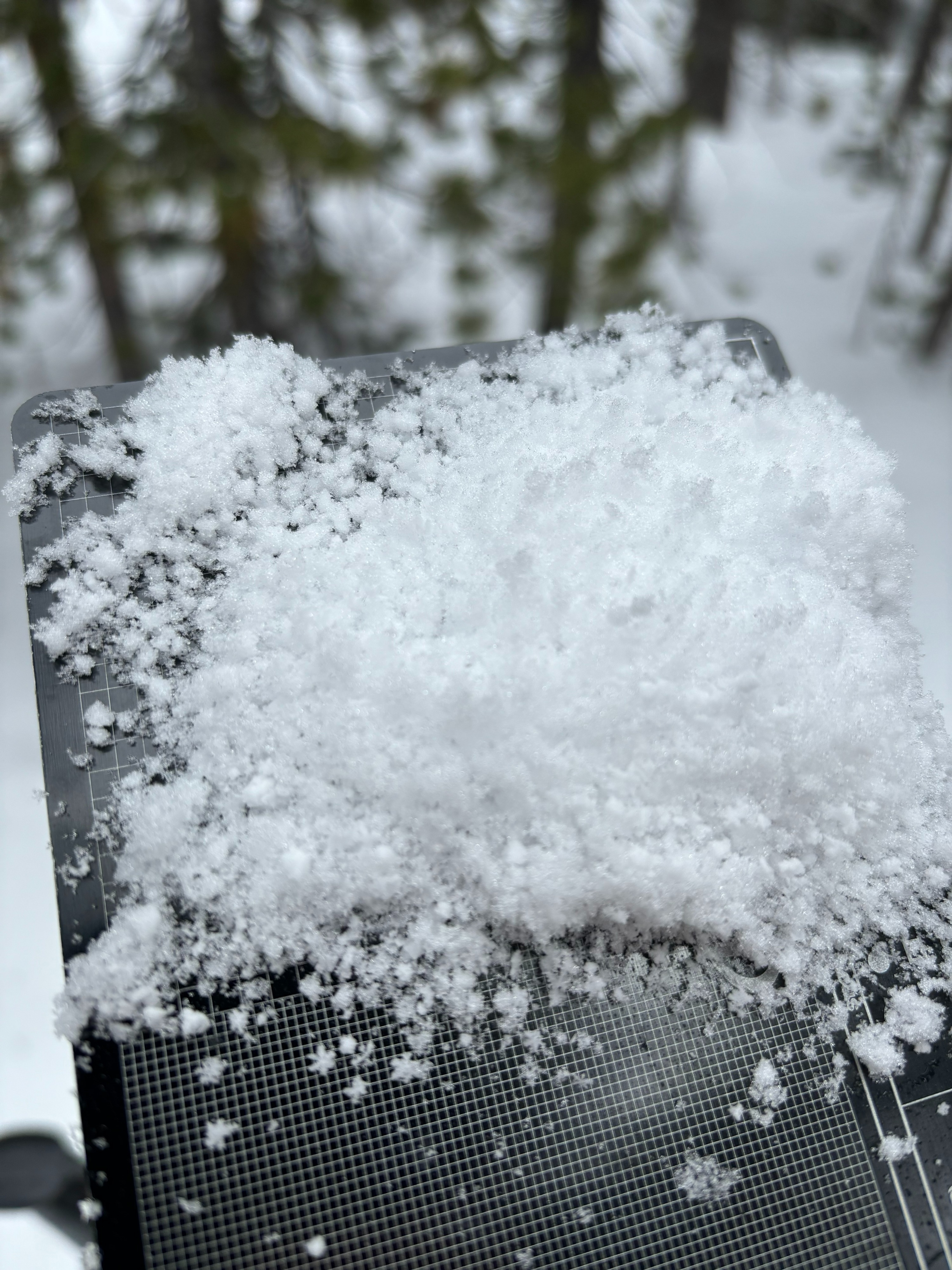
I observed 3-5cm of low-density Graupel-Stellars mix on top of a widespread crust. In sheltered areas (ie trees) this distribution was mostly widespread with ~3cm depth. In isolated areas on open east facing slopes, I found up to 15cm of wind loaded snow on top of the crust. While these loaded areas did have slab characteristics of dense, consolidated snow, I found no signs of reactivity (ie propagation), and skiing in these areas was actually quite good. While all other aspects and areas had a bit more dust-on-crust characteristics, a relatively soft underlying crust made for still okay skiing.