

Quick report
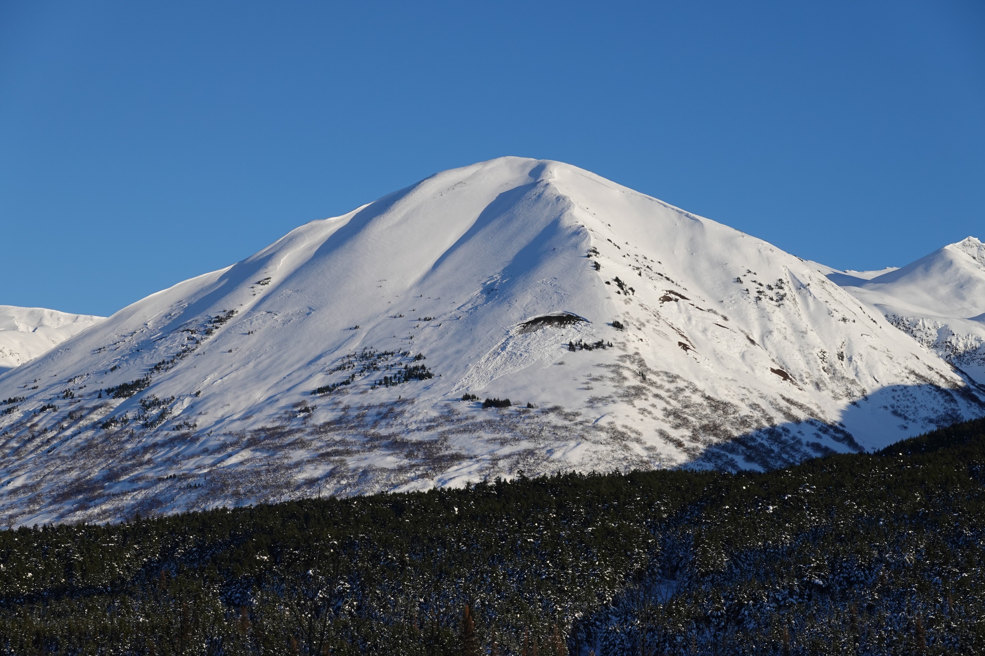
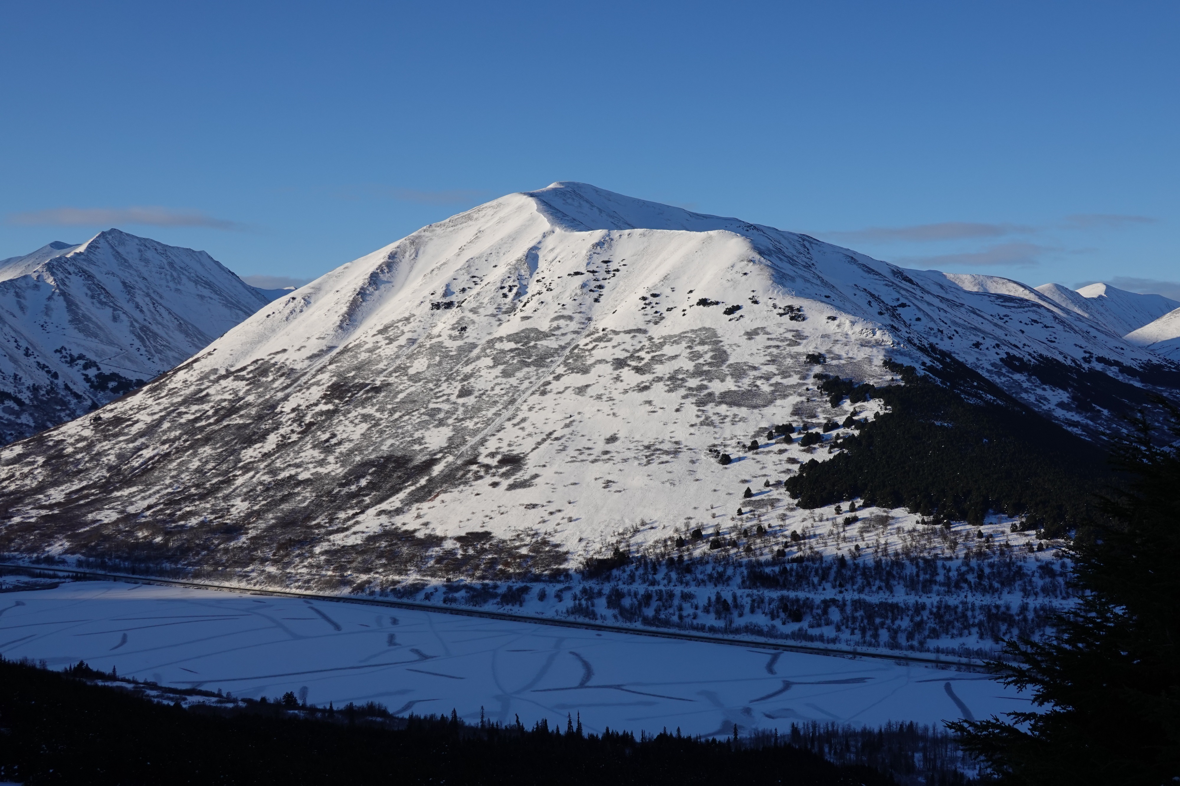
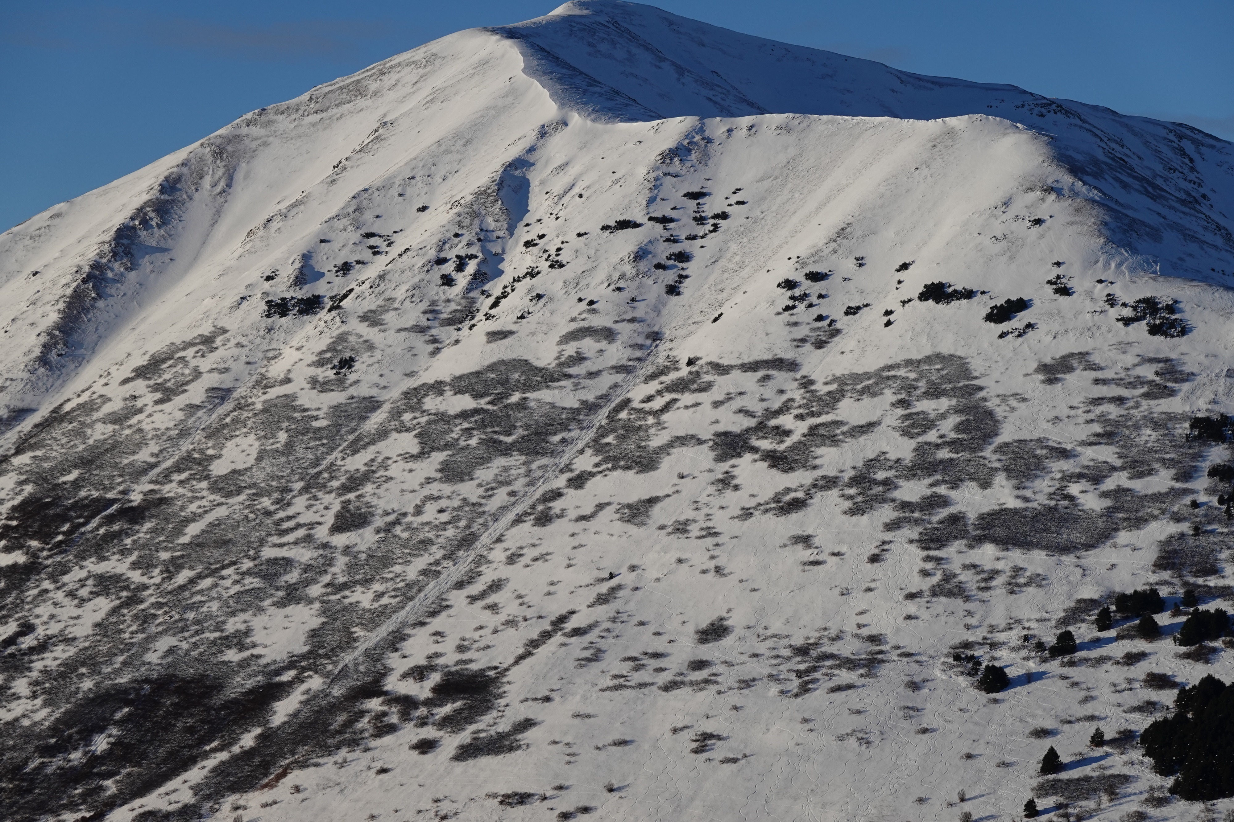
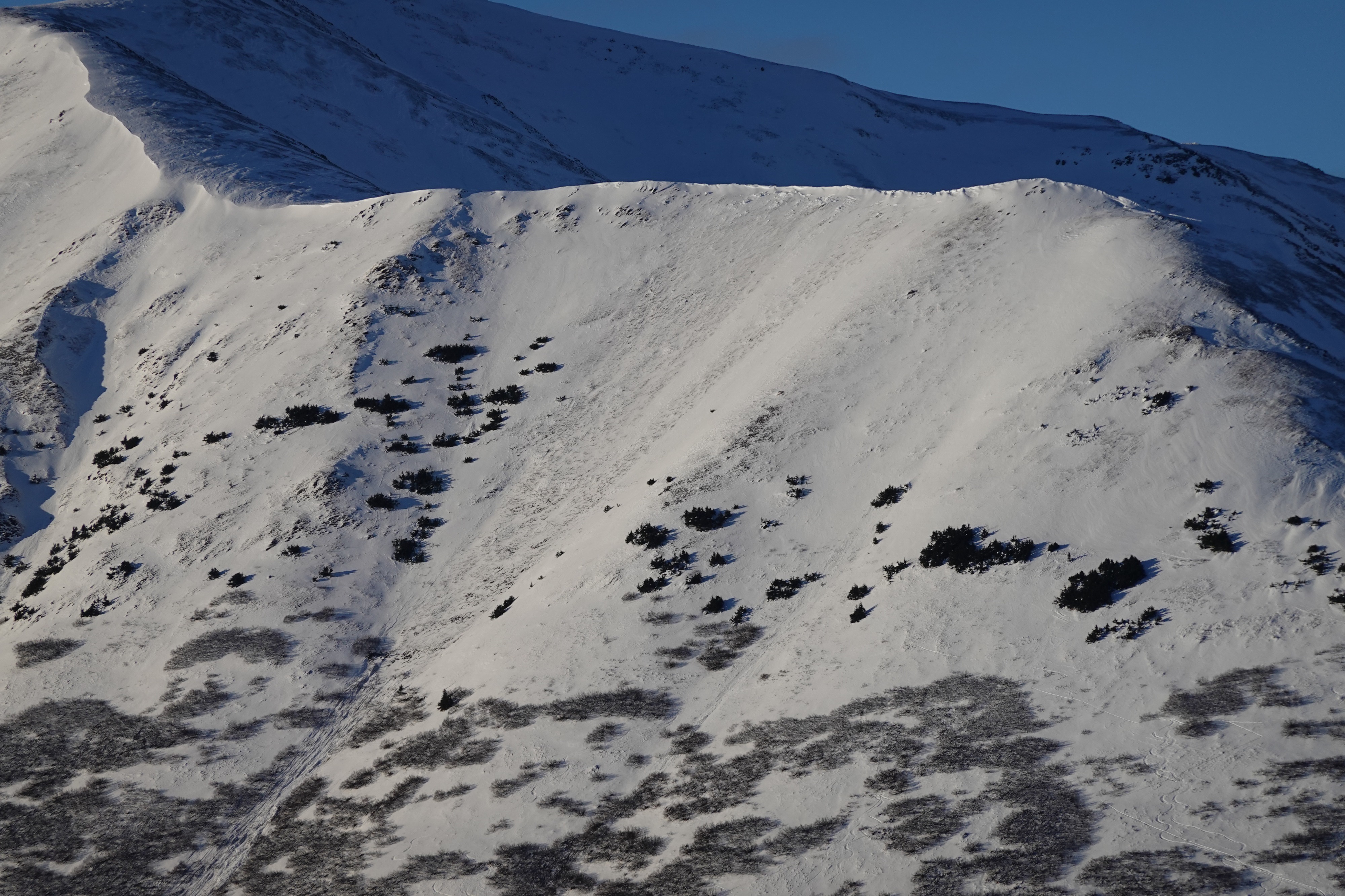
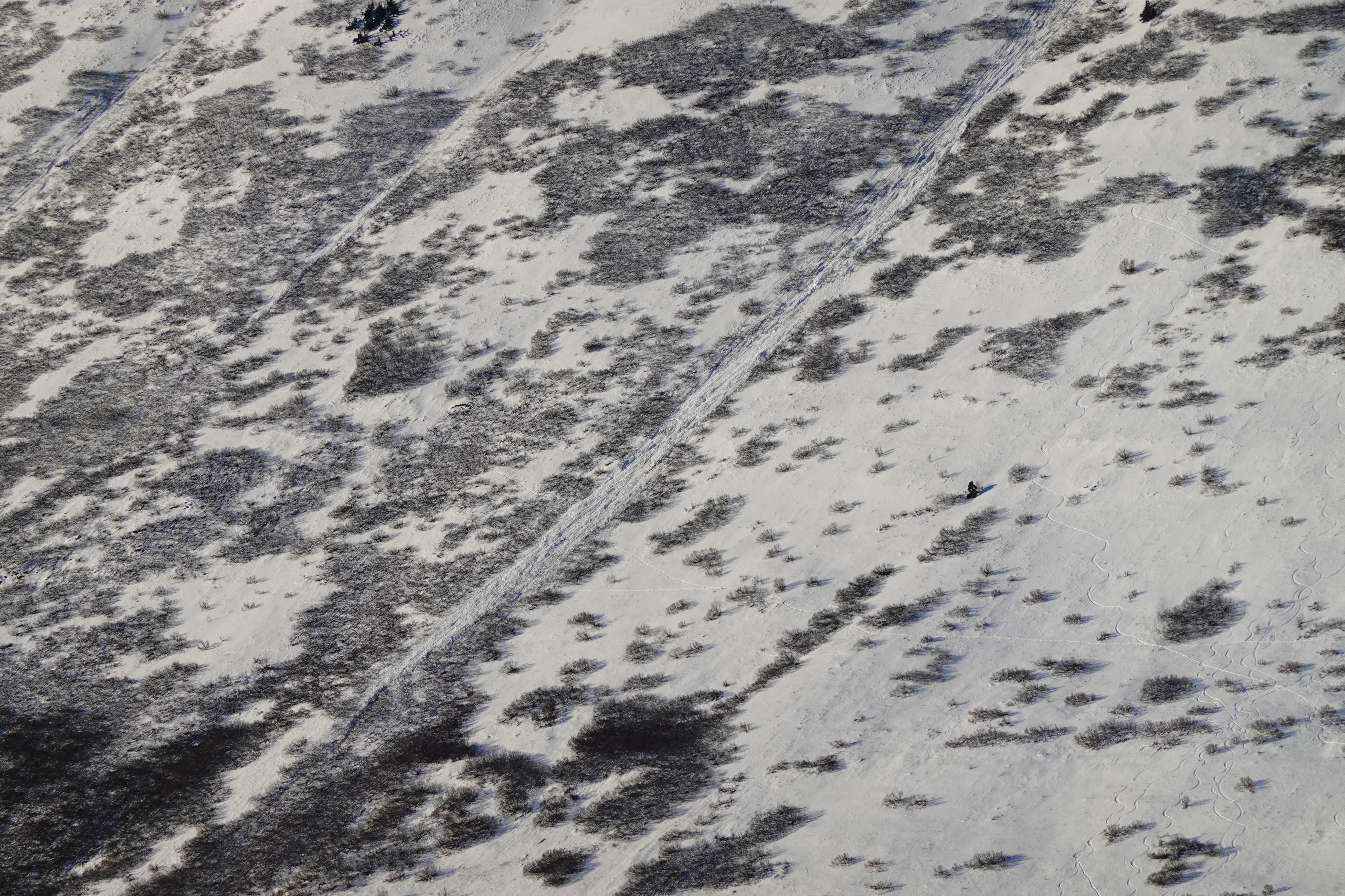
No new avalanches or red flags were observed along the route. Overall snow depth ranged from 1.5' at low elevations to 2.5' at my high point. Surface conditions were mostly soft at lower elevations and slightly wind affected at upper elevations. Stability seemed good in the area I traveled.
Weather
- Air Temp
- 20s
- Cloud Cover
- clear
- Wind Loading
- moderate
- Recent Snowfall
- 0
- Snow Avail For Transport
- moderate amounts
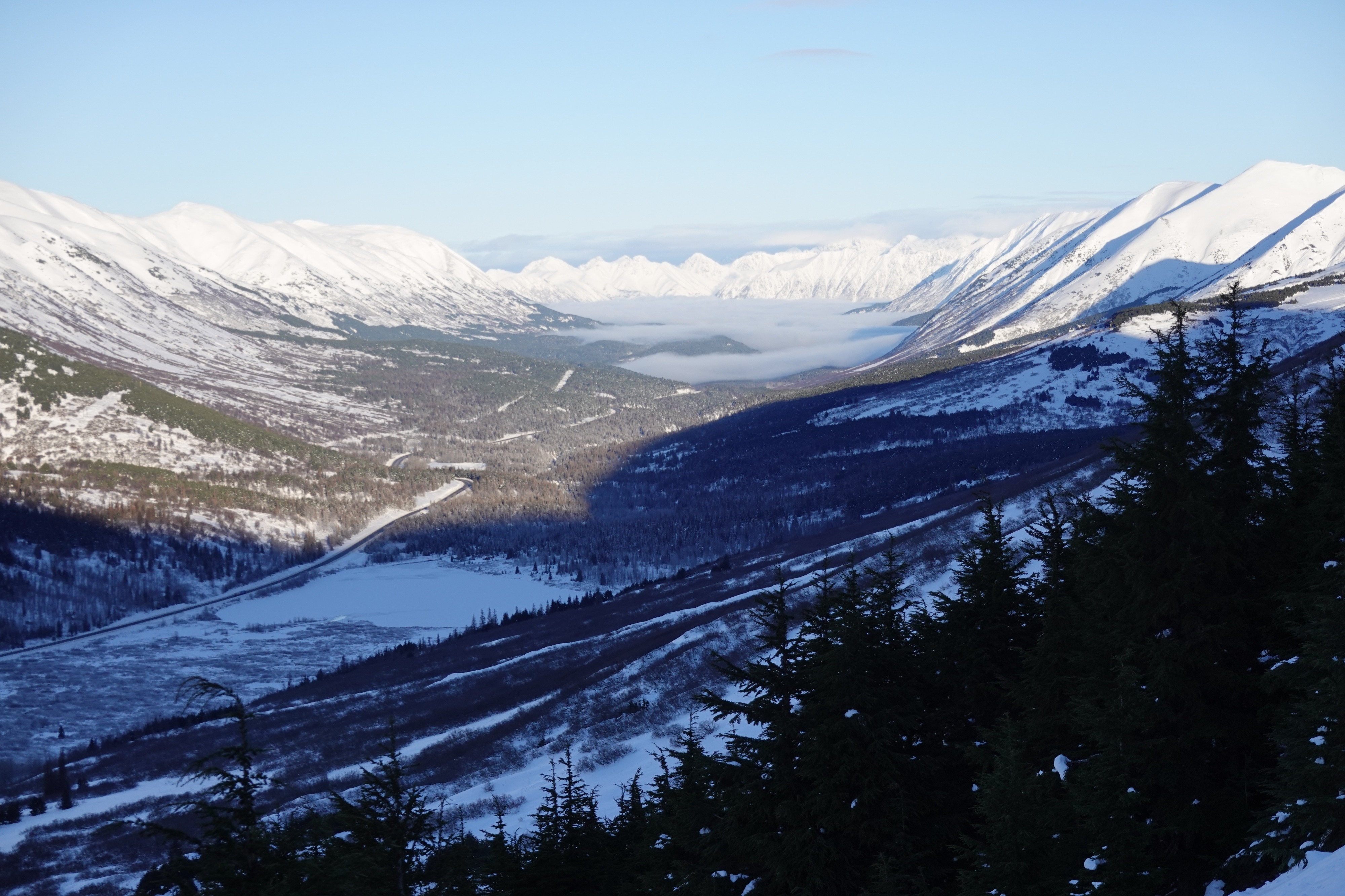
From Anchorage all the way to the Hope Y there were low clouds obscuring visibility down to the ground. South of the Hope Y the clouds cleared. Winds were calm and I did not see any wind loading along ridgelines.
Snowpack
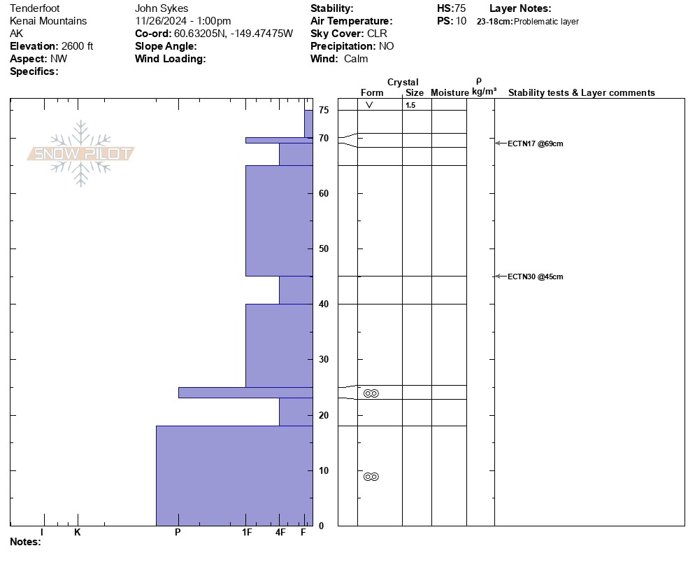
I dug one snow pit at 2600' on a NW aspect. The snowpack was about 75 - 80 cm deep (2.5'). I did not see any concerning results in the extended column test (ECT N 17 down 10 cm/4") or any weak layers that are very concerning. At the base of the snowpack there is a layer of old melt freeze grains that is changing to large facets which may become an issue later in the season if the facetting process continues.