
Quick report
- Aspect
- North
- Elevation
- 2438 m
- Slope Angle
- 22°
- Red Flags Comment
- <p>There were no red flags</p>
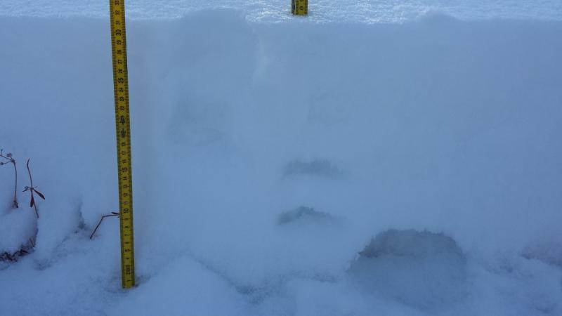
Snow was mainly faceted. (Can't Figure out the Photo Editor yet so here is my pit profile) 0-9 Fist, 9-17 4F, 17-31Fist (New Snow from end November/Beginning of Dec Storm.
1. More moose than people is the usual in the Ogden Mountains. 2. Ben Lomond Peak weather station. 3. Snowpack in the Willard Cirque. 4. Looking south toward Chili Peak.
The skiing is not skiing yet in the ogden mounatins. You just walk up the summer trail than just try and survive on the way down. I suggest a snowbike or snowshoes still. Took my skins off for a minute and realized I had made a mistake. I will say that this is the most snow we have had in the Ogden Mountains at the first of December for the last couple years.
Photo 1 and 2; Facets from 0-9 cm in the ogden snowpack. Photo 3; Surface hoar at upper elevation. 4. Pit Profile again
Snowpack
- Instability Comment
- <p>The only place you could trigger an avalanche in the upper Willard Cirque or Ben Lomond is if there were wind loaded pockets over the faceted snow from the earlier November storms. Most places there still is not enough snow to trigger an avalanche.</p> <p>I have trouble saying there is a persistent slab problem because there was no slab that I could find but maybe somewhere you could find one.</p>
The snow was still very light and dry from the Sunday/Monday light flurries and cold temperatures here in the Ogden valley. There was also 3-4mm surface hoar on lower elevations on all but due south aspects. at upper elevations it was more in the 1-2mm size surface hoar and again on all aspects but due south. The new snow was also starting to facet even though they were still mainly rounds with the cold temps and shallow snowpack I bet the whole snowpack will be facets soon. HS was 32cm. The snow was also to light and faceted to do any snow tests.