
Quick report
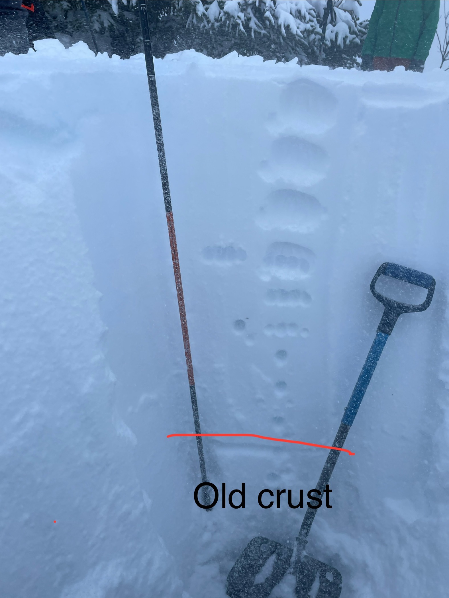
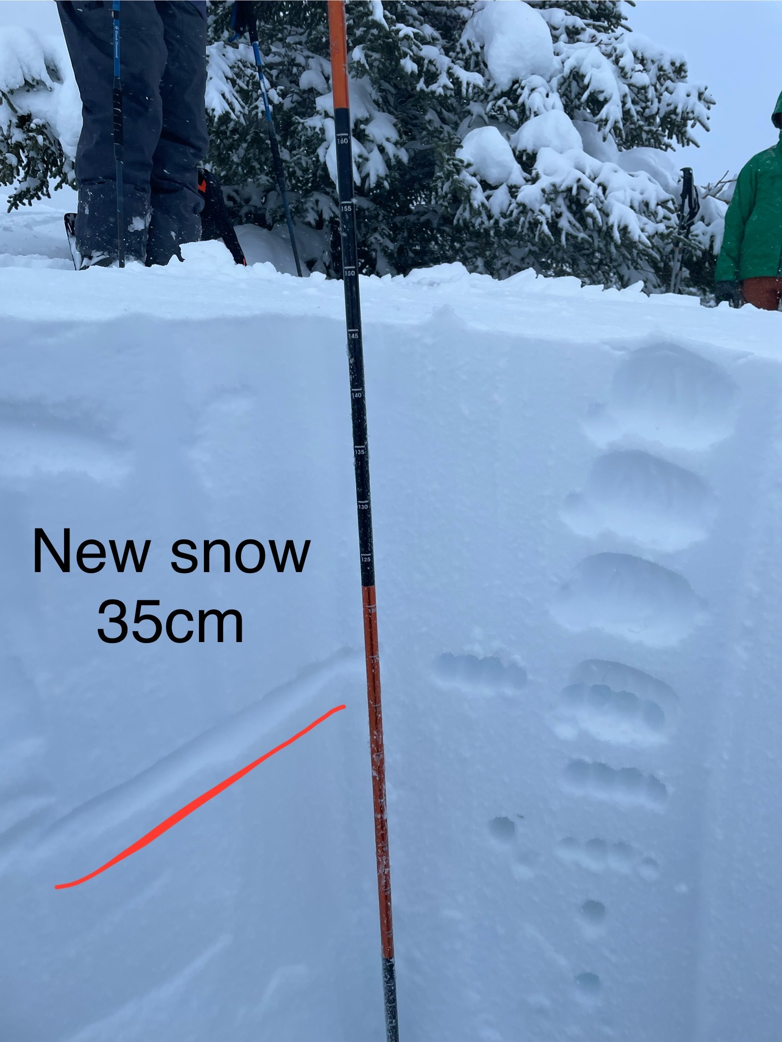
Did not perform a pit profile or any formal instability tests. Just dug enough to get an idea of new snowfall. Stomped around on test slopes in the subalpine meadows area, 2,200' - 2,300' and (to our surprise) did not experience any fractures or collapsing.
Weather
- Air Temp
- 33
- Cloud Cover
- overcast
- Wind Loading
- moderate
- Recent Snowfall
- 35
- Snow Avail For Transport
- large amounts
We observed the storm verifying cooler than forecast. Heavy rain in Cooper landing all night / morning / midday, rain transitioning to snow driving north at about Devils Pass trailhead (1,000'), then cool enough to be all snow through the Summit Lake zone to MP48. Remained snow throughout our tour and the drive back south transitioned back to rain again around Devils Pass trailhead / Jerome Lake (900'). At the location of our hasty pit, 2,300' and 2:45p Sky: Overcast, stormy Temp.: +0.7C Wind: Strong from the N - NE Precip.: snowing pretty heavily, but small flakes, I would estimate S2
Snowpack
In the subalpine meadows section of Fresno Ridge, around 2,100' - 2,300', we found a snowpack varying from 100 - 200cm, looked like 35cm of new snow overnight. Surface snow was actively being transported by winds varying between moderate and strong from N - NE. Ski Pen / Boot Pen: 30cm / 65cm