
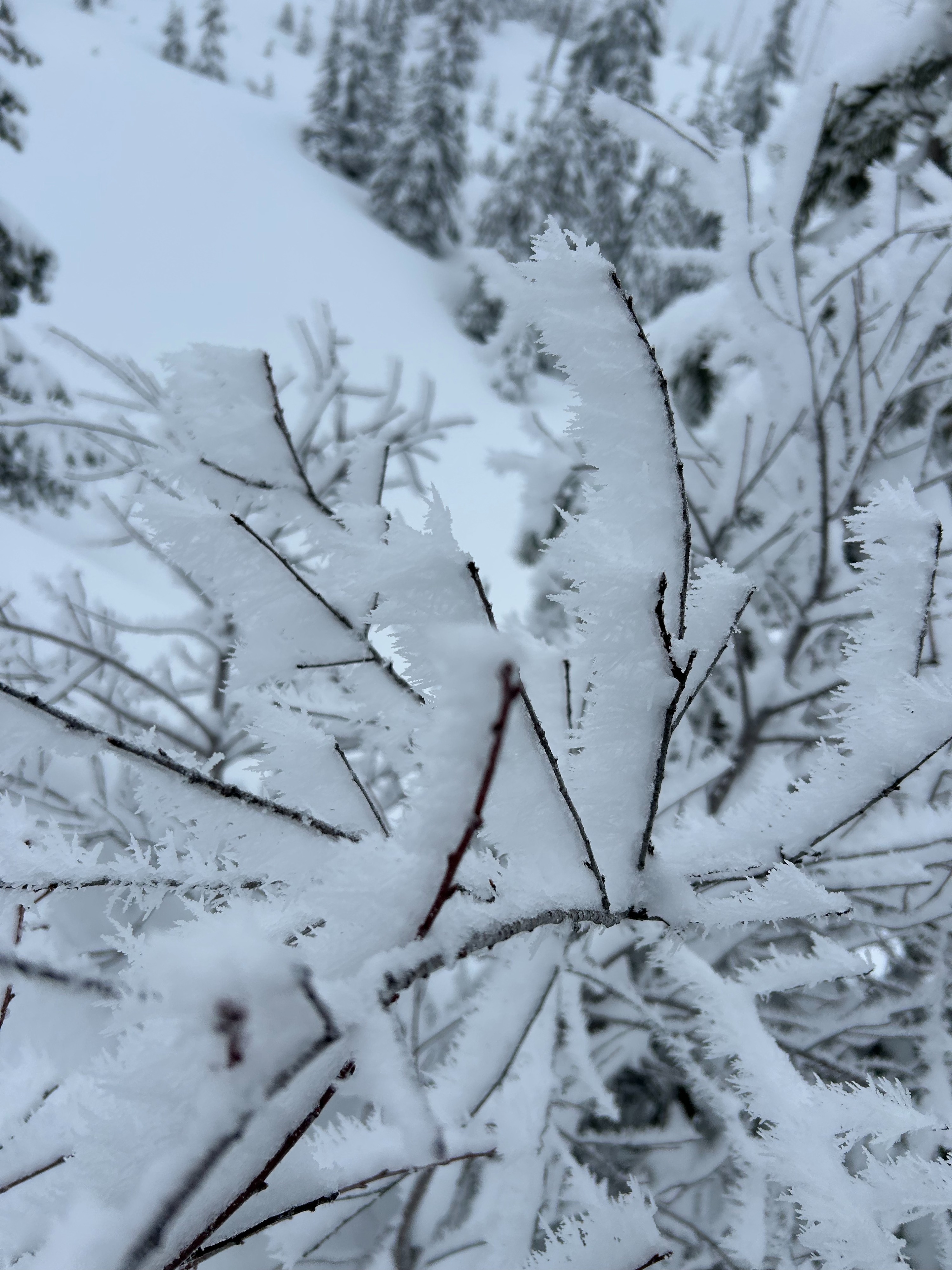
Quick report
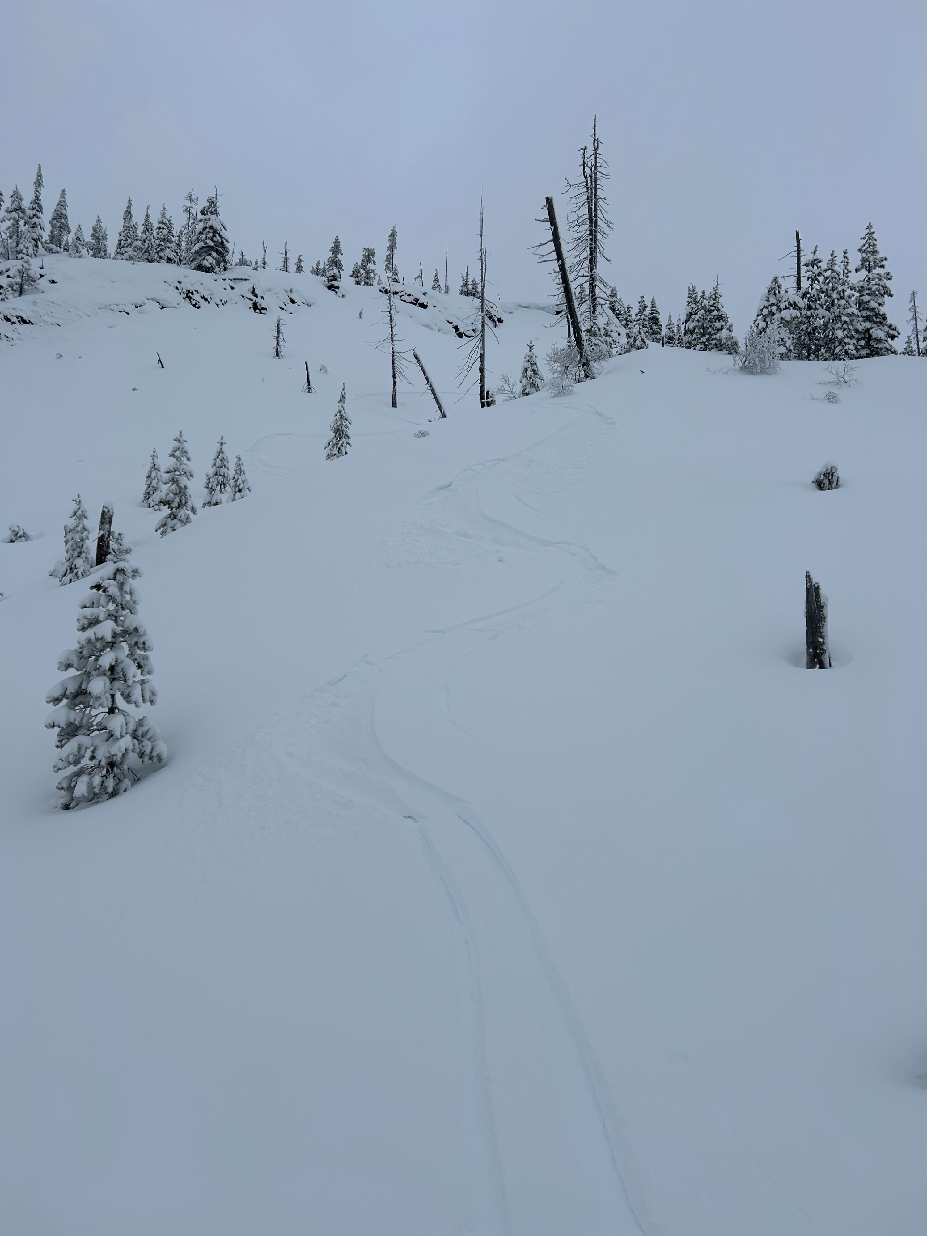
I didn't observe any notable avalanche problems. The storm snow was still pretty soft and unconsolidated (no slabs). On steeper slopes, I didn't observe any loose dry. The lack of sun is keeping the snow surface nice. No instability observed; slightly surprising given the 40cm new.
Weather
- Air Temp
- 25
- Cloud Cover
- overcast
- Wind Loading
- light
- Recent Snowfall
- 30
- Snow Avail For Transport
- moderate amounts
Nice run of cold (well, for OR) cloudy weather. Highs running mid-20s, lows in the teens. While the Friday/Saturday storm was pretty wind, today was utterly calm. More snow coming next few days.
Snowpack
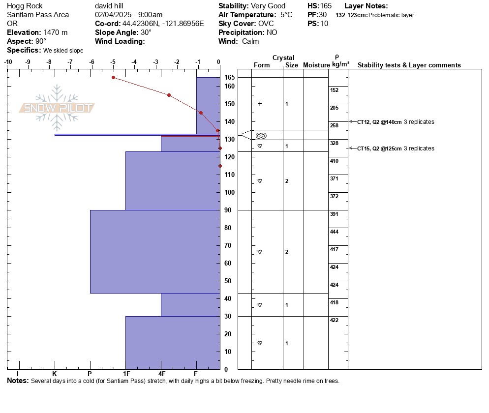
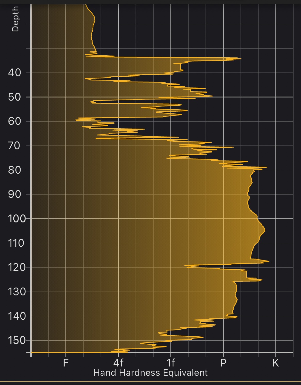
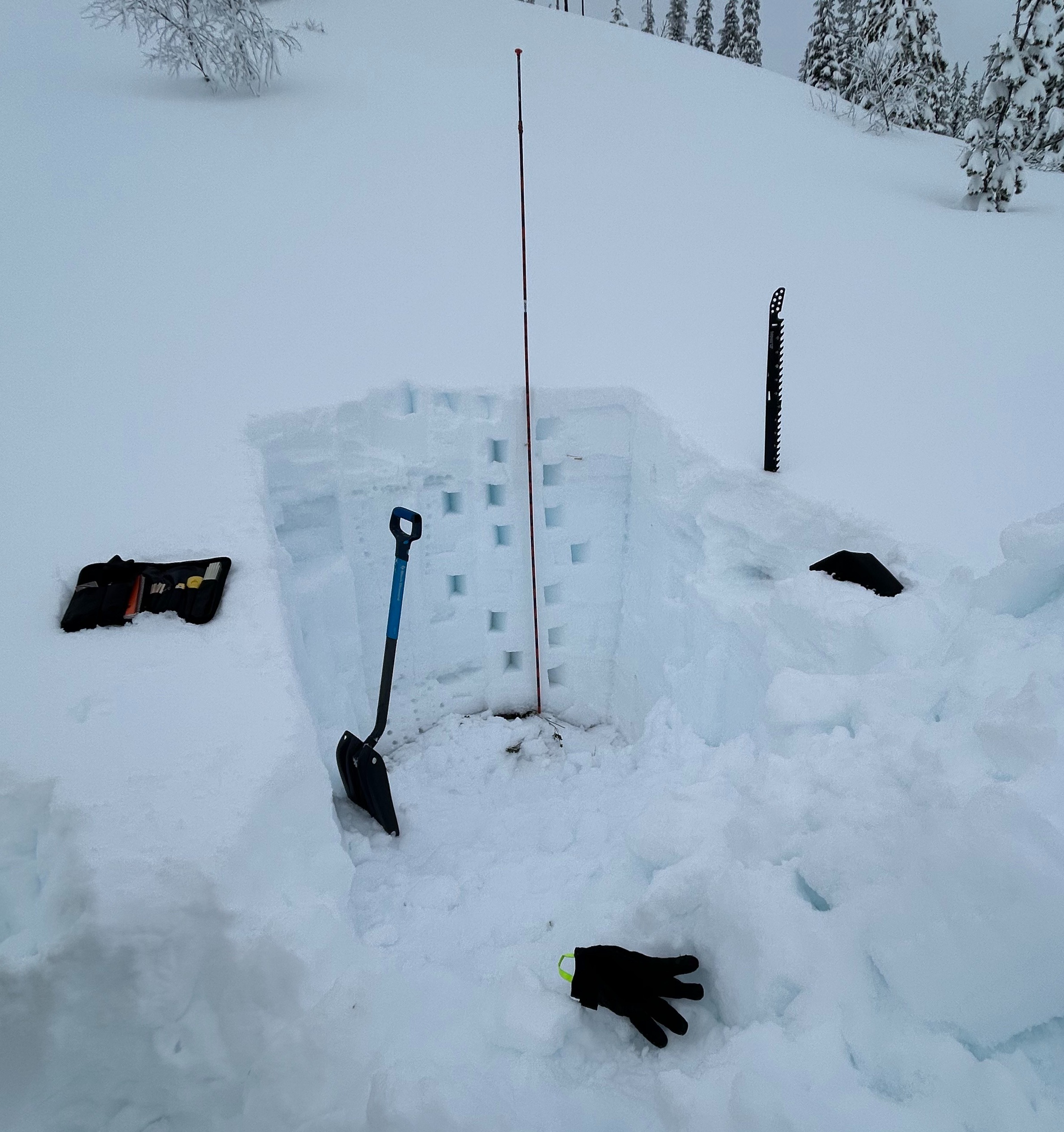
30cm of new (fist hardness) over a thin hard crust. This overlied 4F melt forms, which rapidly hardened to P for much of the snowpack. SnowScope pickup some thin soft layers that I didn't see manually. Did three replicates of a CT. All failed at 12 taps 25cm down and also at 15 taps 40 cm down. Q2 (didn't budge) so didn't bother with ECT. The 40cm result was just below the melt-freeze crust. Basically, the new snow has bonded very well with the crust from our Jan drought. Below that, it's just miles of melt forms to the ground. Hard digging...