
Quick report
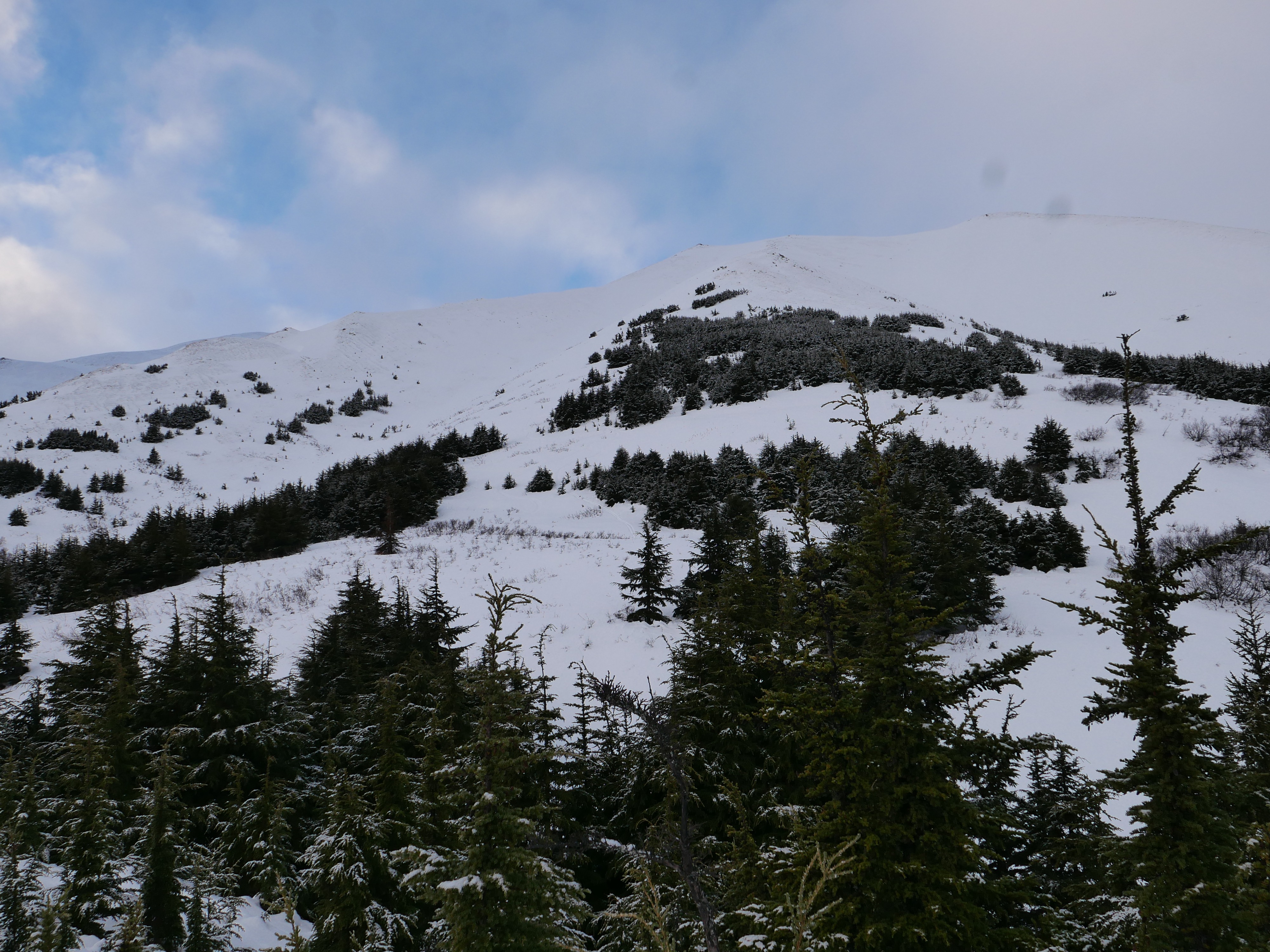
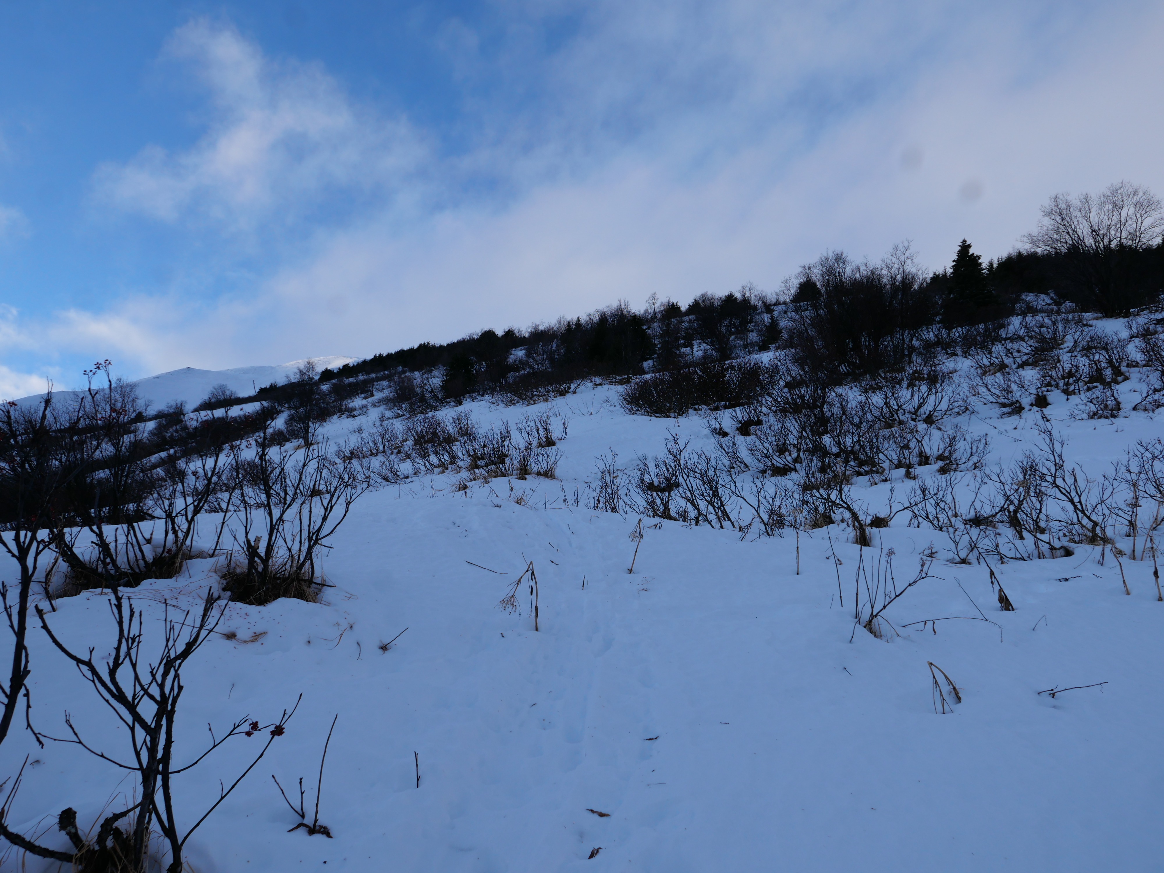
We trudged our way up through wet and unsupportable snow until we got onto stiffer snow around 2900'. We consistently found weak, faceted snow at the bottom of the snowpack regardless of elevation, but the snowpack looked and skied much different once we got above the rain line. We found stiff snow on the surface at elevations above around 2900', whereas the snow below that elevation was heavy, wet and unsupportable. A thin breakable crust on the surface really completed the whole experience.
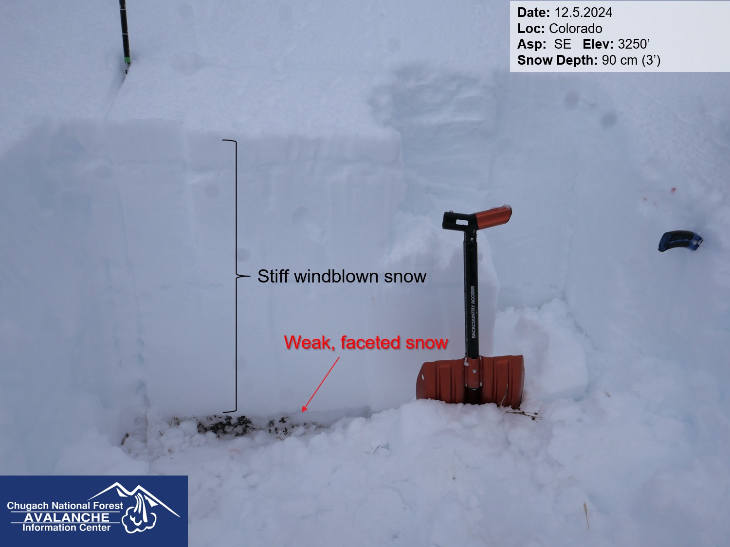
Big picture- regardless of elevation there is a lot of weight sitting on top of a weak foundation of faceted snow. This setup has produced several large avalanches this week, and will remain a concern as we look at another period of active weather this weekend.
Weather
- Cloud Cover
- broken
- Wind Loading
- previous
- Rain Elevation
- 3000
- Recent Snowfall
- 5
- Snow Avail For Transport
- small smounts
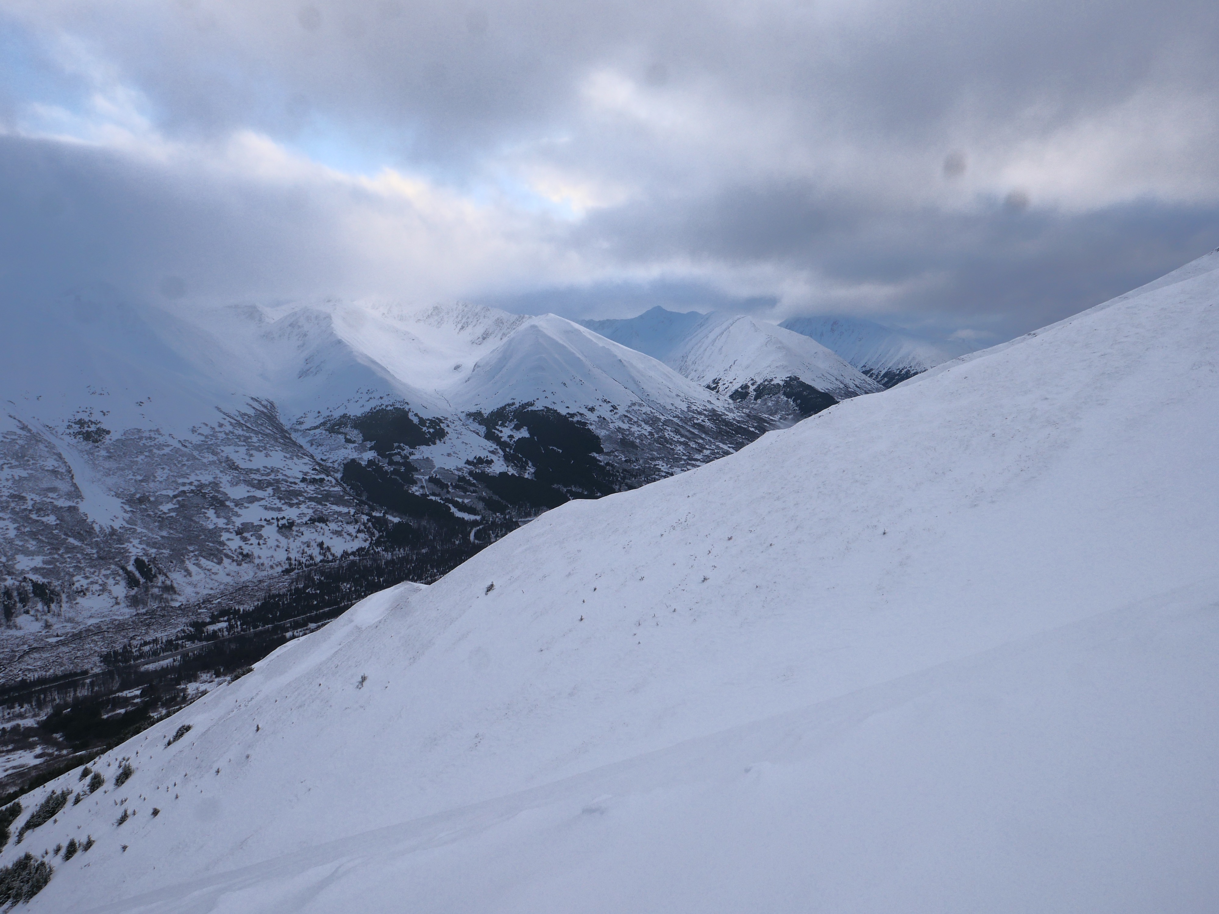
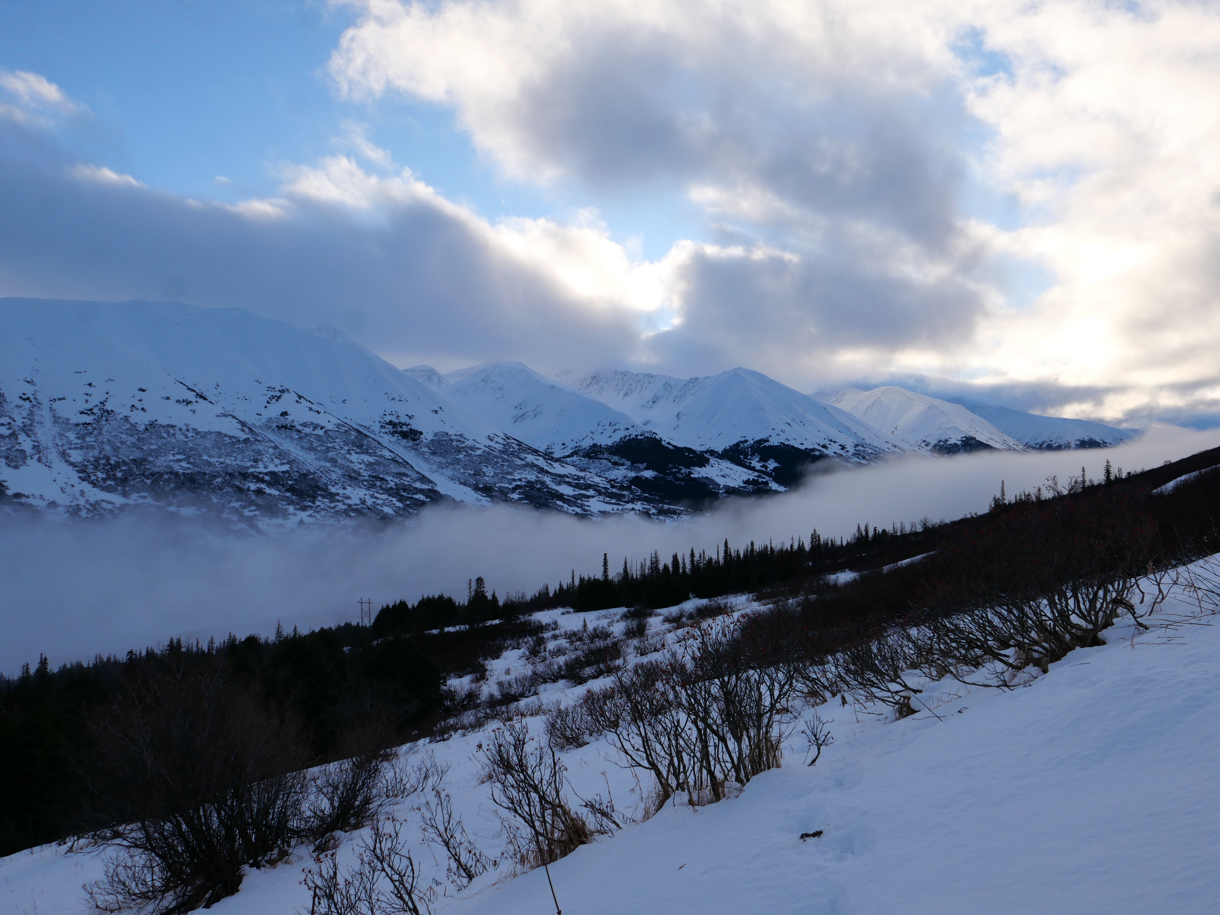
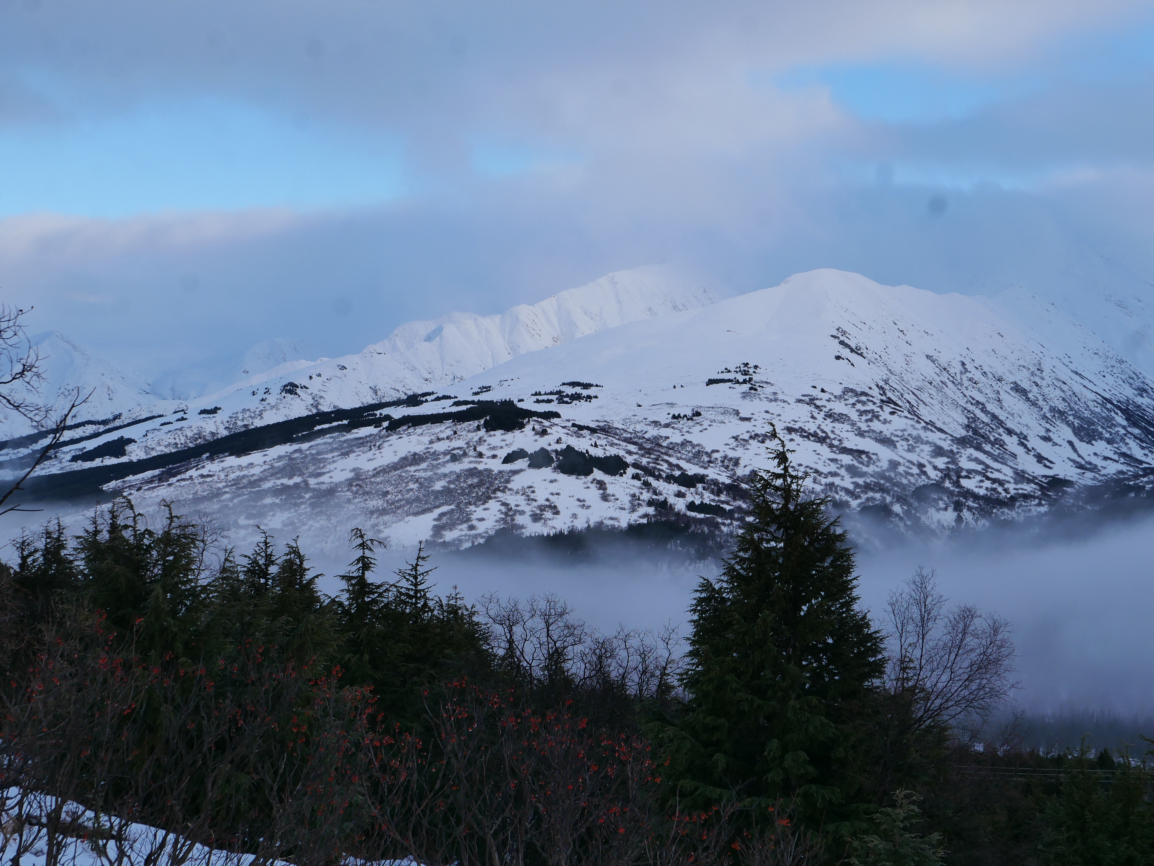
Surprisingly quiet. No precipitation while we were out. Light northeasterly winds once we got above treeline, calm below around 3000'. Mostly cloudy skies with mild temperatures.
Snowpack
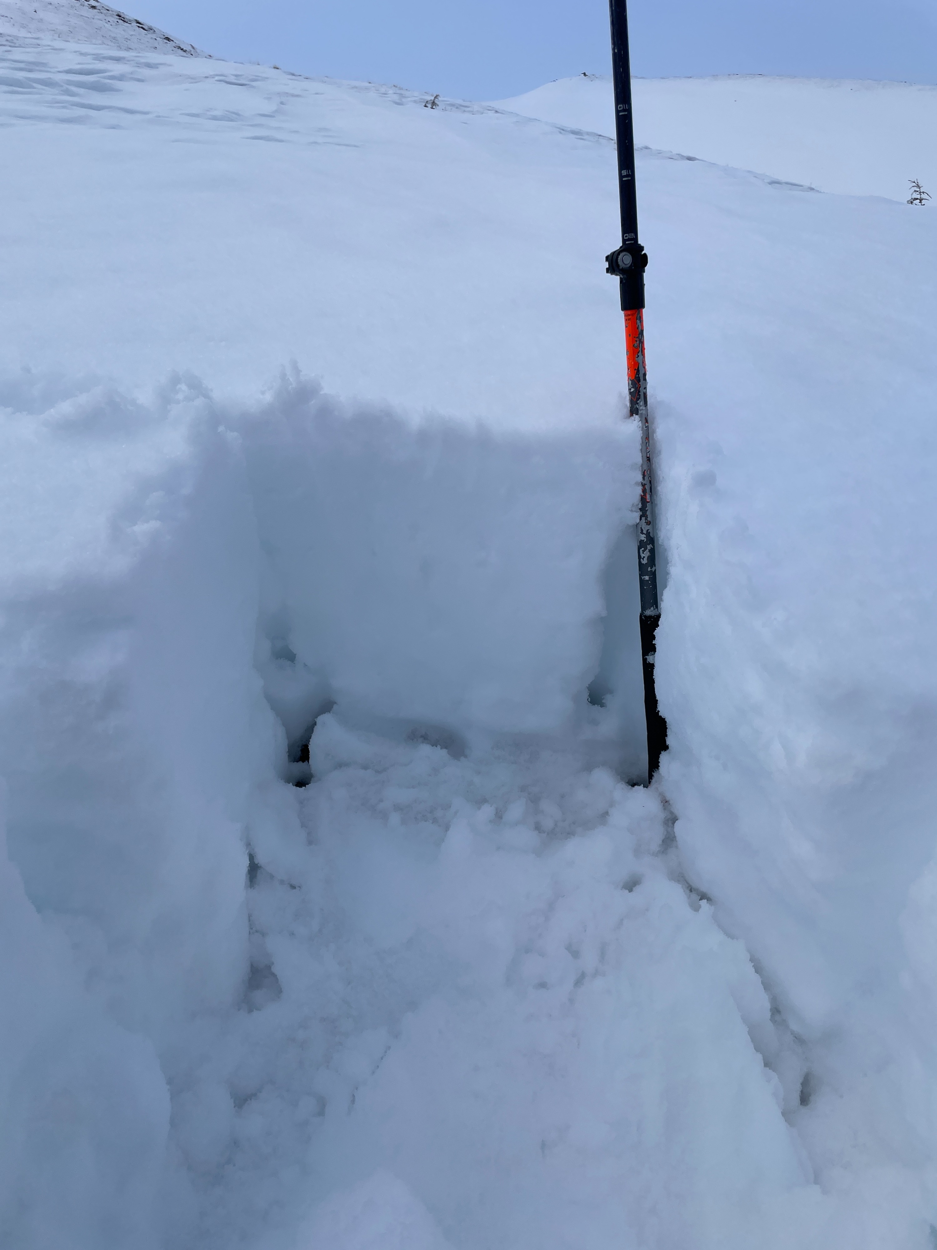
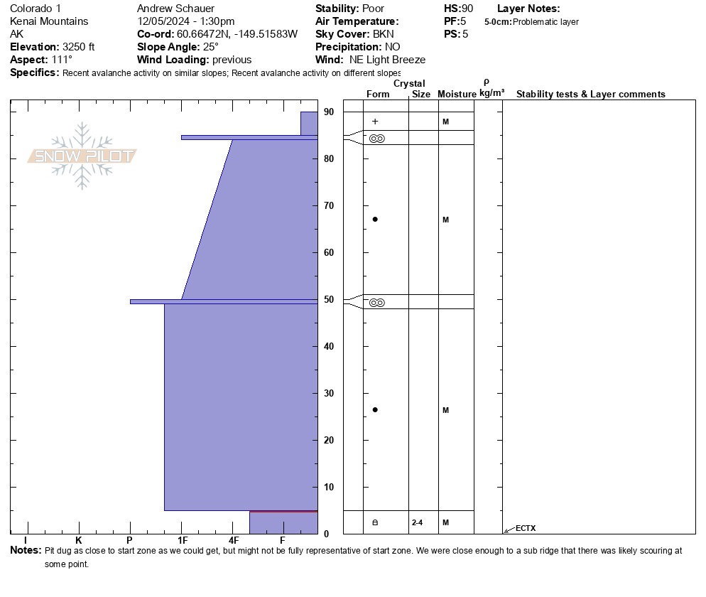
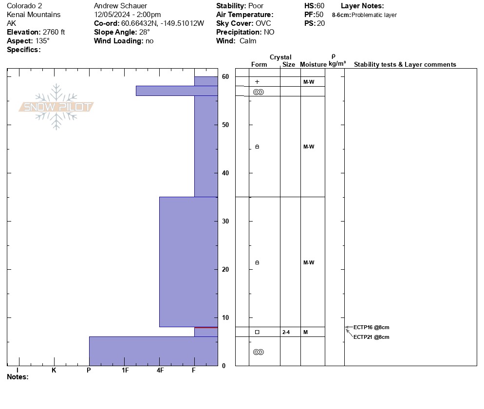
We dug one pit at 3250' and one at 2750'. The upper pit was basically a three foot thick hard wind slab sitting on top of a weak layer of facets at the ground. The lower pit also had a layer of advanced facets at the ground, but the snowpack was wet and sloppy- we were sinking up to our ankles in moist to wet snow while we were skiing and skinning. The layer was producing unstable results in our tests (ECTP16, ECTP21) and was likely the culprit for a lot of the activity we have seen in the Summit Lake area this week.
See photos for detailed snowpack information.
Avalanche
- Size
- D2.5 R1
- Type
- HS
- Count
- 2
- Aspect
- W
- Trigger
- N
- Elevation
- 2000 ft
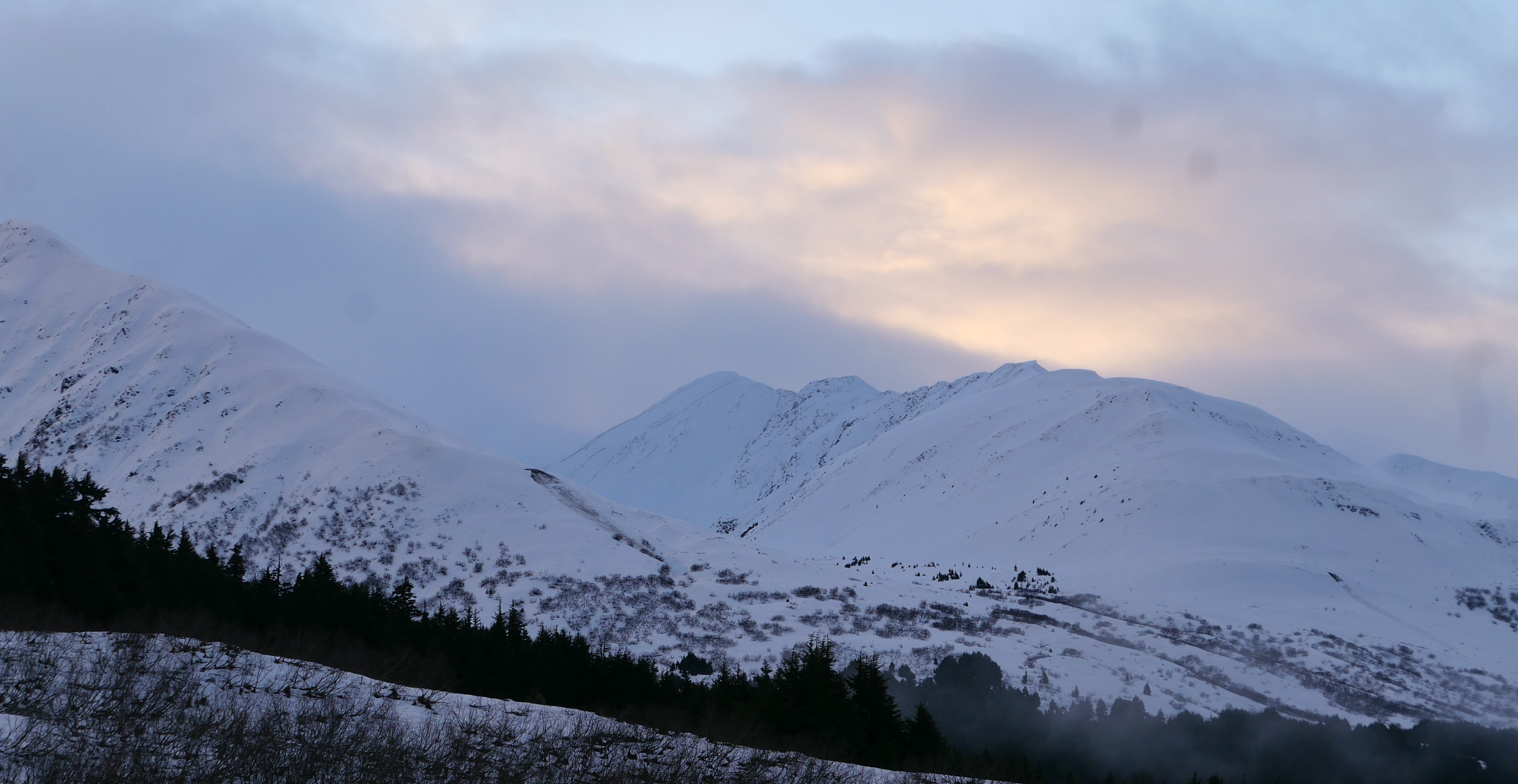
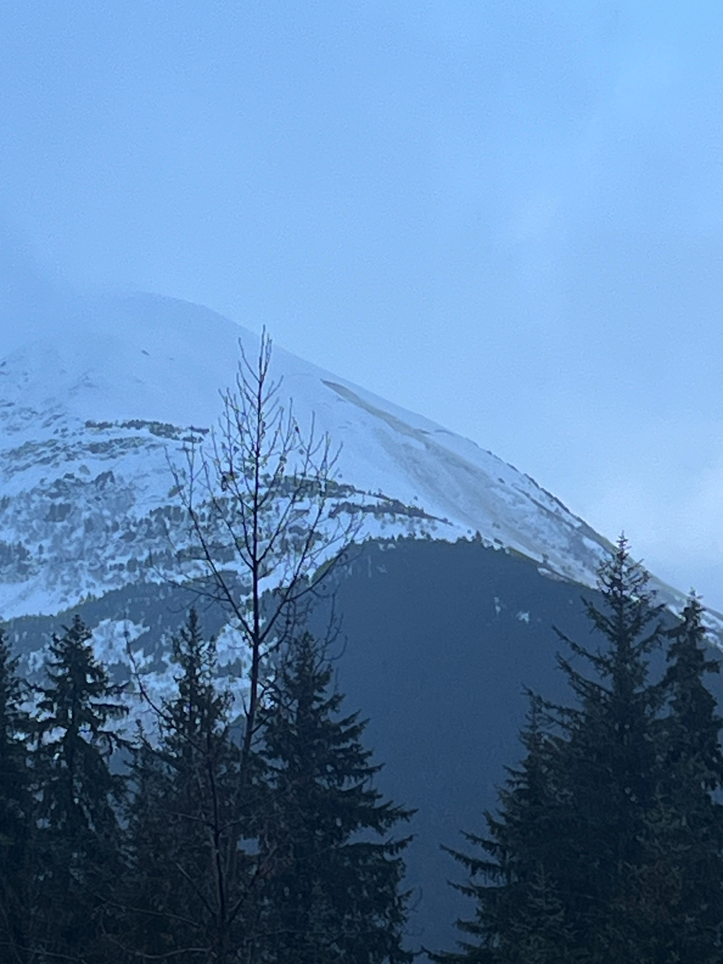
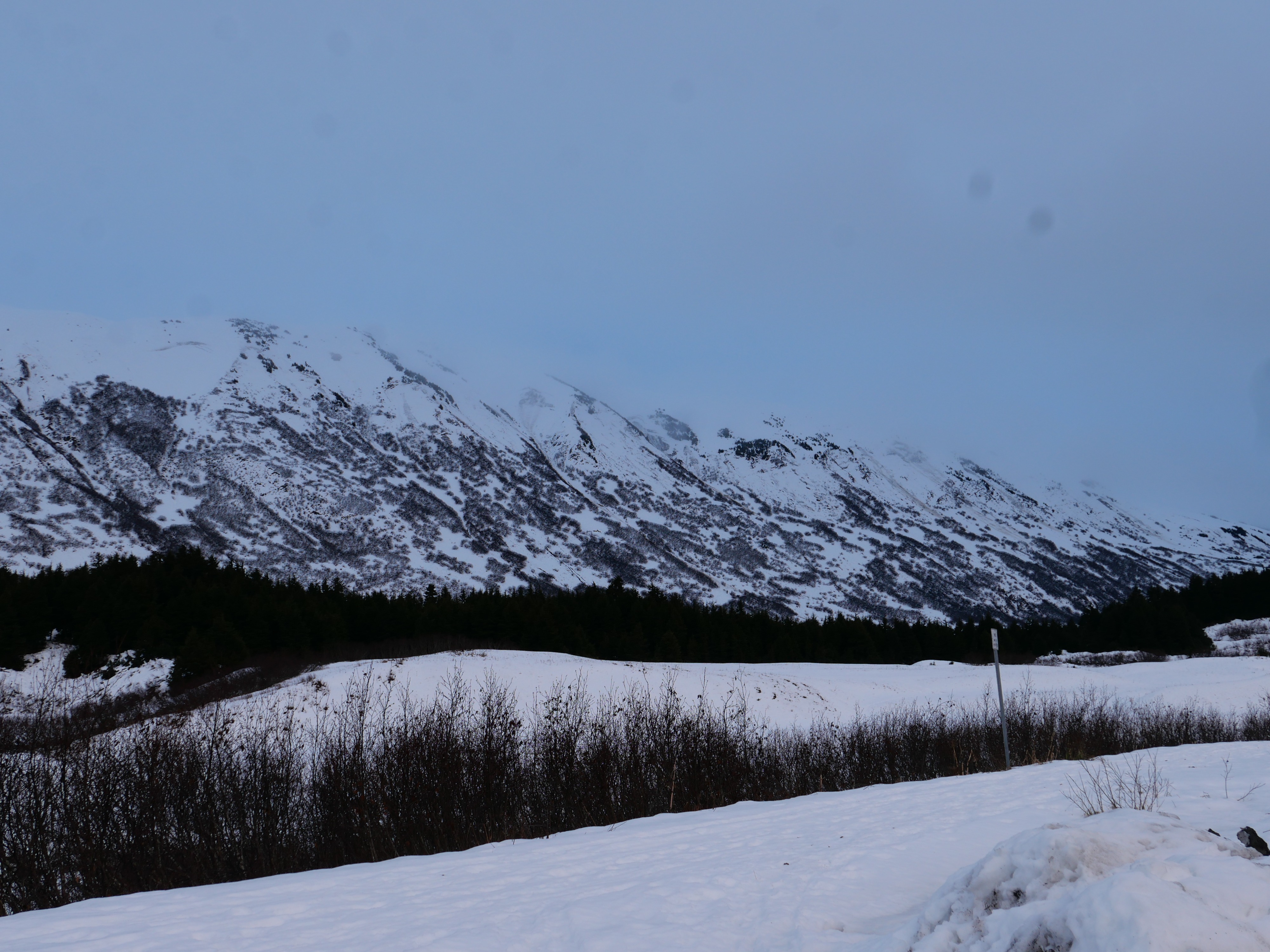
Several natural avalanches in the Summit Lake area from the past two days. We did not notice anything in Summit Lake that hasn't already been reported- most of that activity was from Tuesday night. Three new glide avalanches in Turnagain Pass and one in Girdwood.