
Quick report
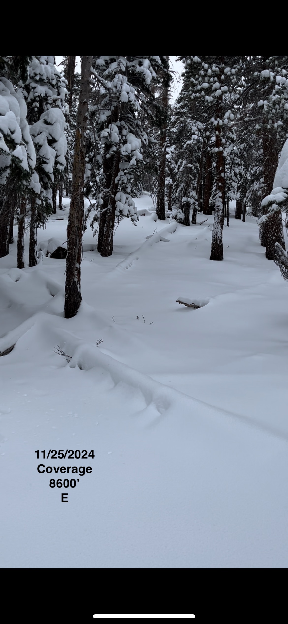
Went for a jaunt to get a baseline understanding of snowpack, snow coverage, and storm conditions in the glass creek area today. Conditions were constantly changing, but overall things were wet, heavy and sticky. Very much "sierra cement" to work through both up and down. Navigation is still tricky, as snow coverage is inconsistent, especially on steeper slopes.
Weather
- Air Temp
- 29/39/29
- Cloud Cover
- overcast
- Wind Loading
- none
- Recent Snowfall
- 5 - 55 cm
- Snow Avail For Transport
- moderate amounts
Weather would change up every ~ 20 min. Partly cloudy, snow/rain, wind. Wind would turn on for 5 - 10 min, light with moderate gusts, and moderate blowing snow during gusting @ higher elevations, but then turn off for 10 - 20 min. And so forth. In general things were wet and humid, especially below 8000'.
Snowpack
Some areas HS up to 60 cm, some 5 cm on top of logs and rocks. Inconsistent on steeper slopes especially. Sticky for travel up and down.
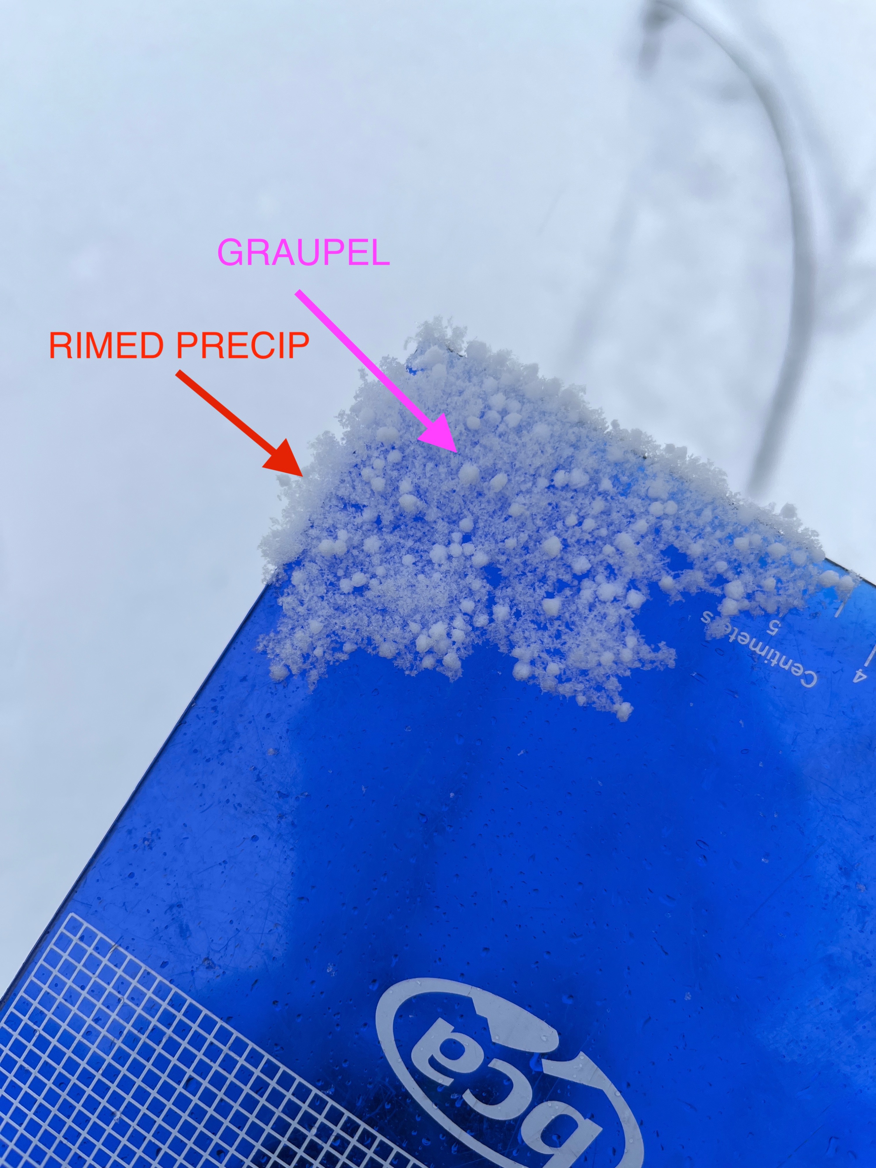
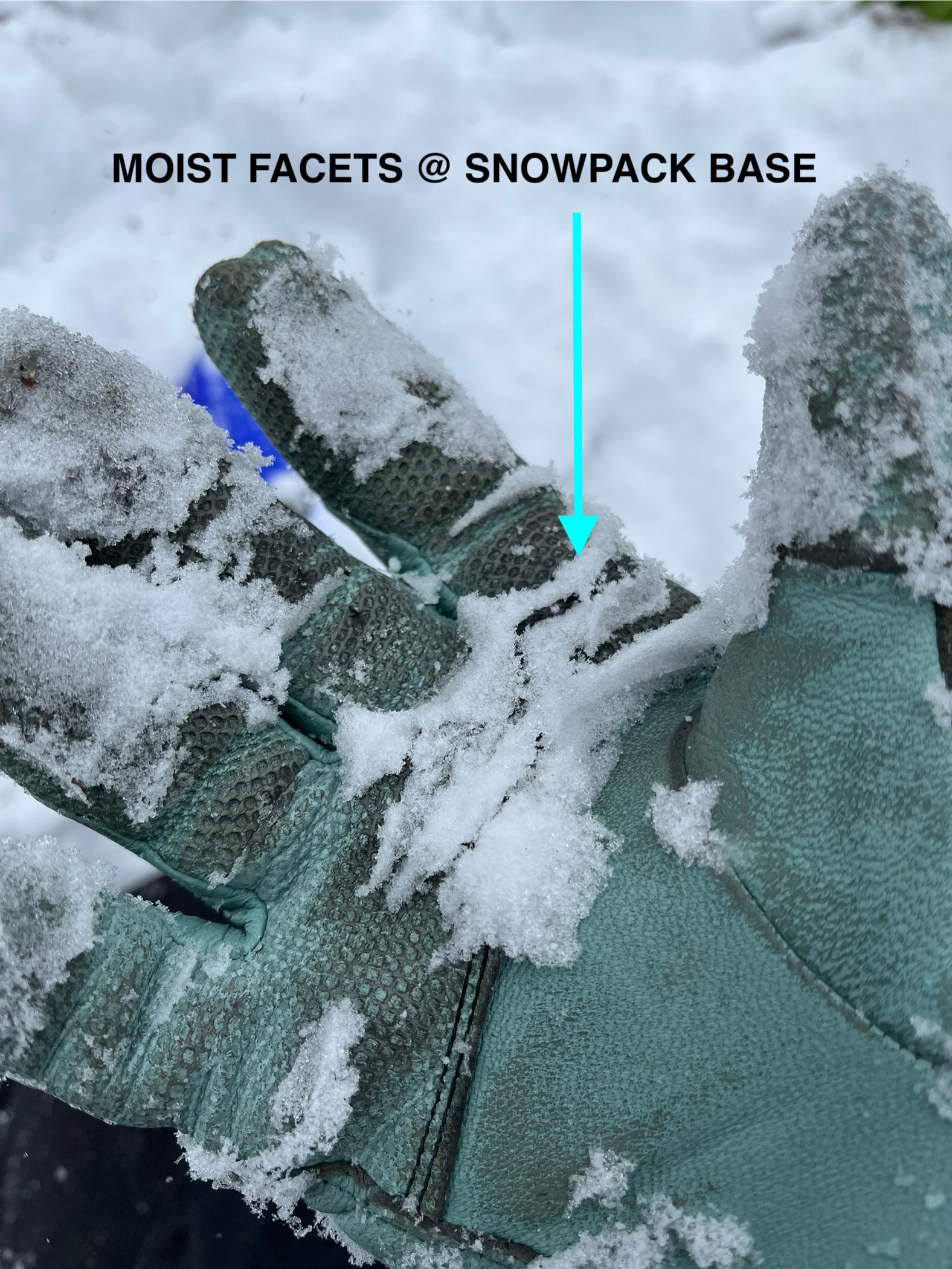
Slightly upside down below 9200' (small density changes), with a decreasing heaviness of daytime precip as elevation increased above 9200'. Minor cracking underfoot in storm snow. Last active PP above 9000' was graupel @ 1500 hrs. Snowpack rightside up except for bottom 3 cm of 2 mm facets.
ECTN 20 @ 34 cm; ECTN 29 @ 20 cm
Whole snowpack is moist to some extent here as of midday.
Small windskins in NTL terrain (ENE, 9500), but wind not blowing consistently enough here with incoming precip to form a slab of note. Some wet loose small rollerballs below 9000' on steeper slopes.