
Quick report
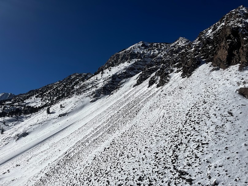
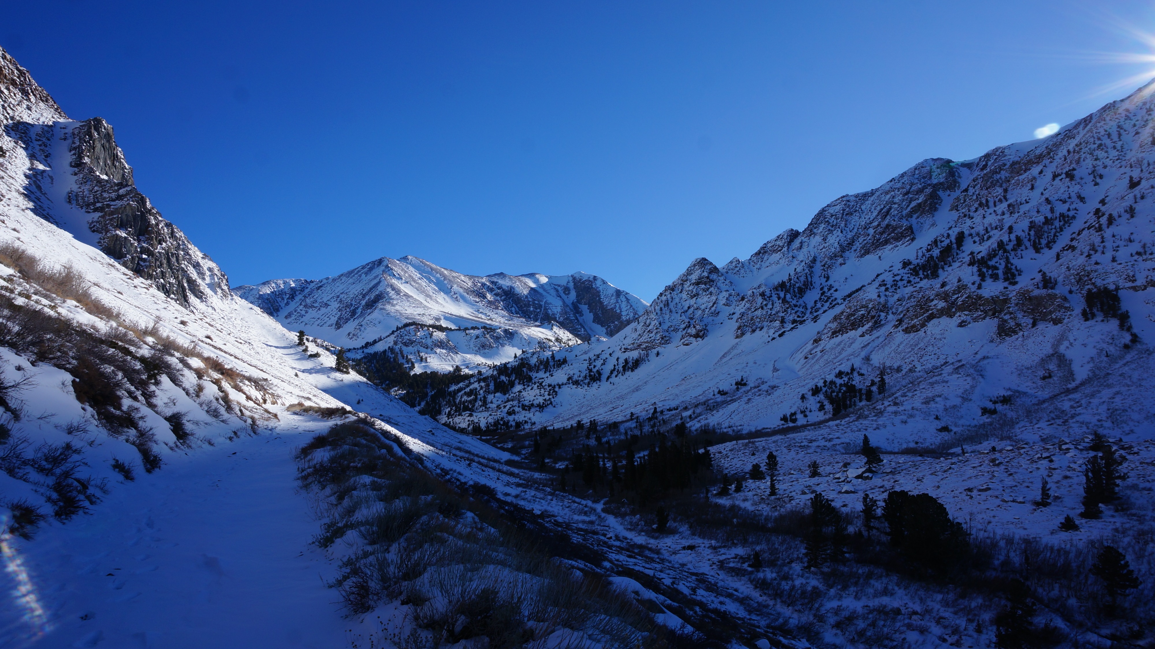
Getting up Laurel Creek to Laurel Lakes is challenging at the moment. Boots worked fine on the road to 9500'. Above 9000' soft snow in creeks and wind-loaded knolls requires floatation, or sticking to wind-scoured features. The 4WD vehicle didn't make it far (no lift kit and no chains today), the road is in bad shape above 7500'. Abundant rocks poking through the shallow snow mean that riding equipment would likely be badly damaged if used. The thought crossed my mind that snowshoes would be the best solution.
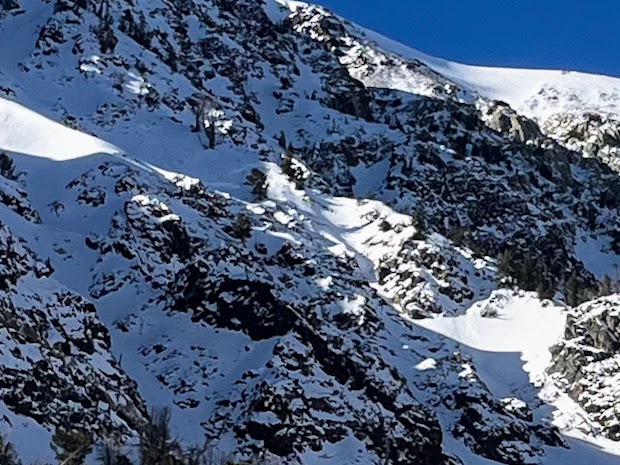
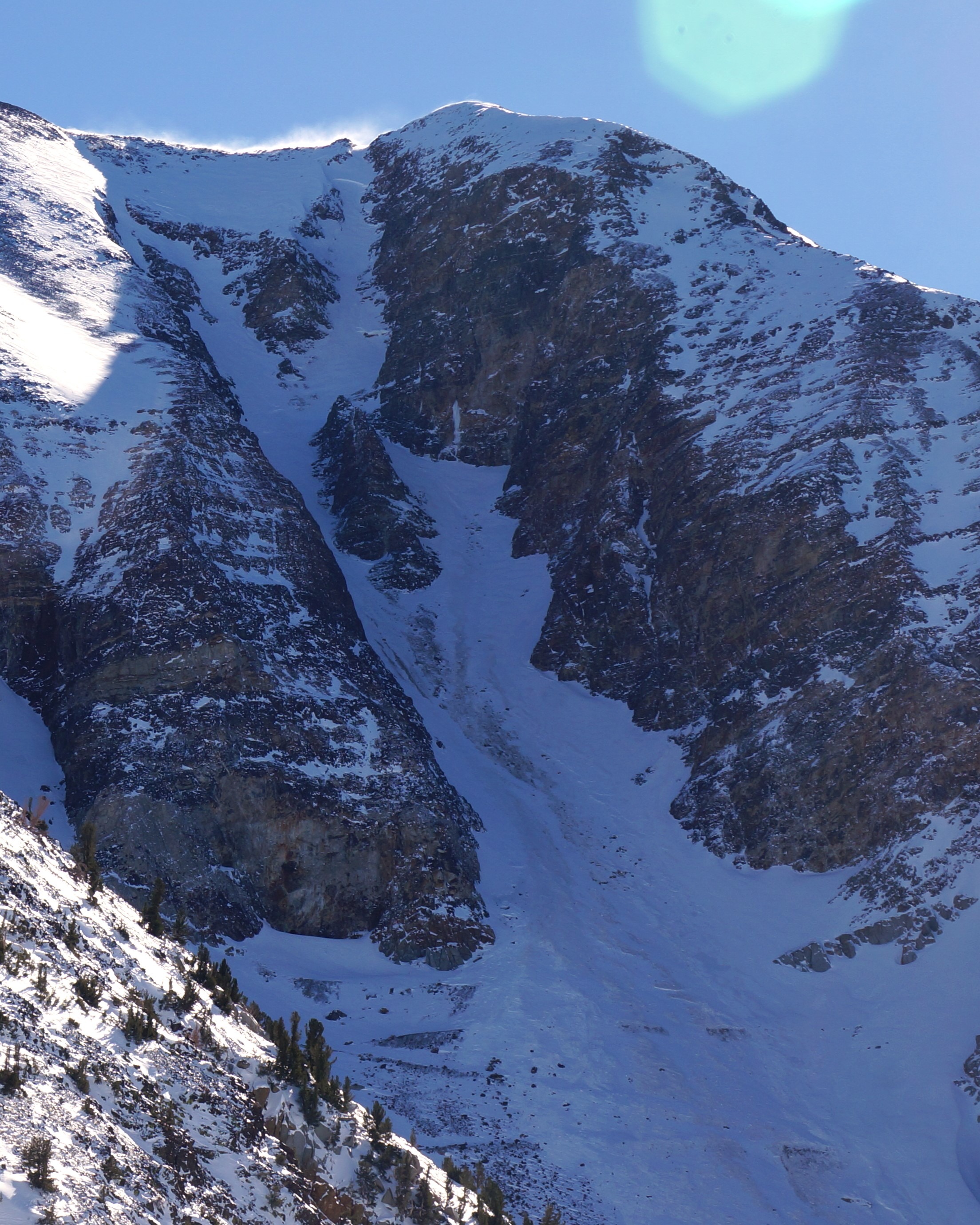
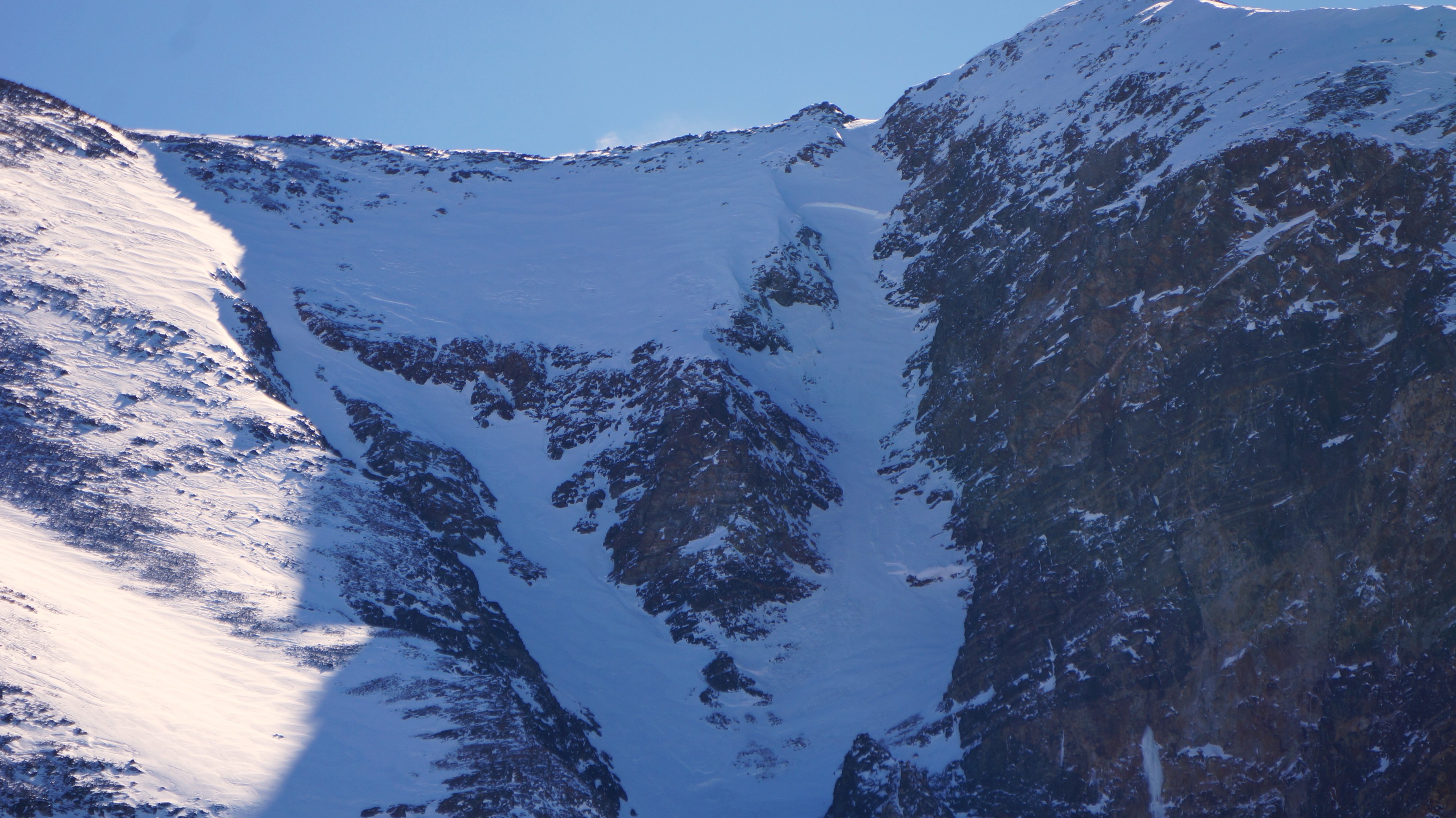
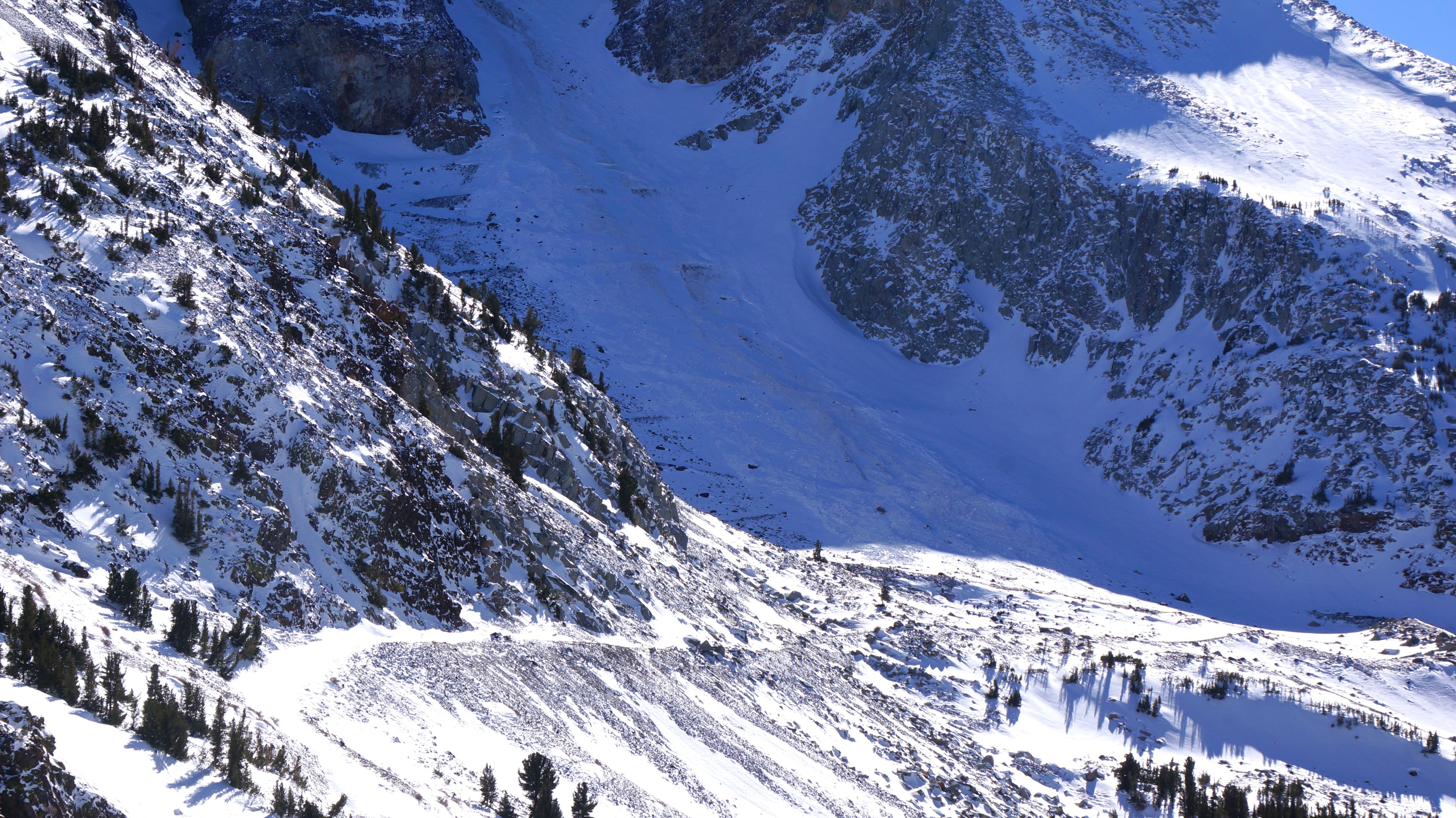
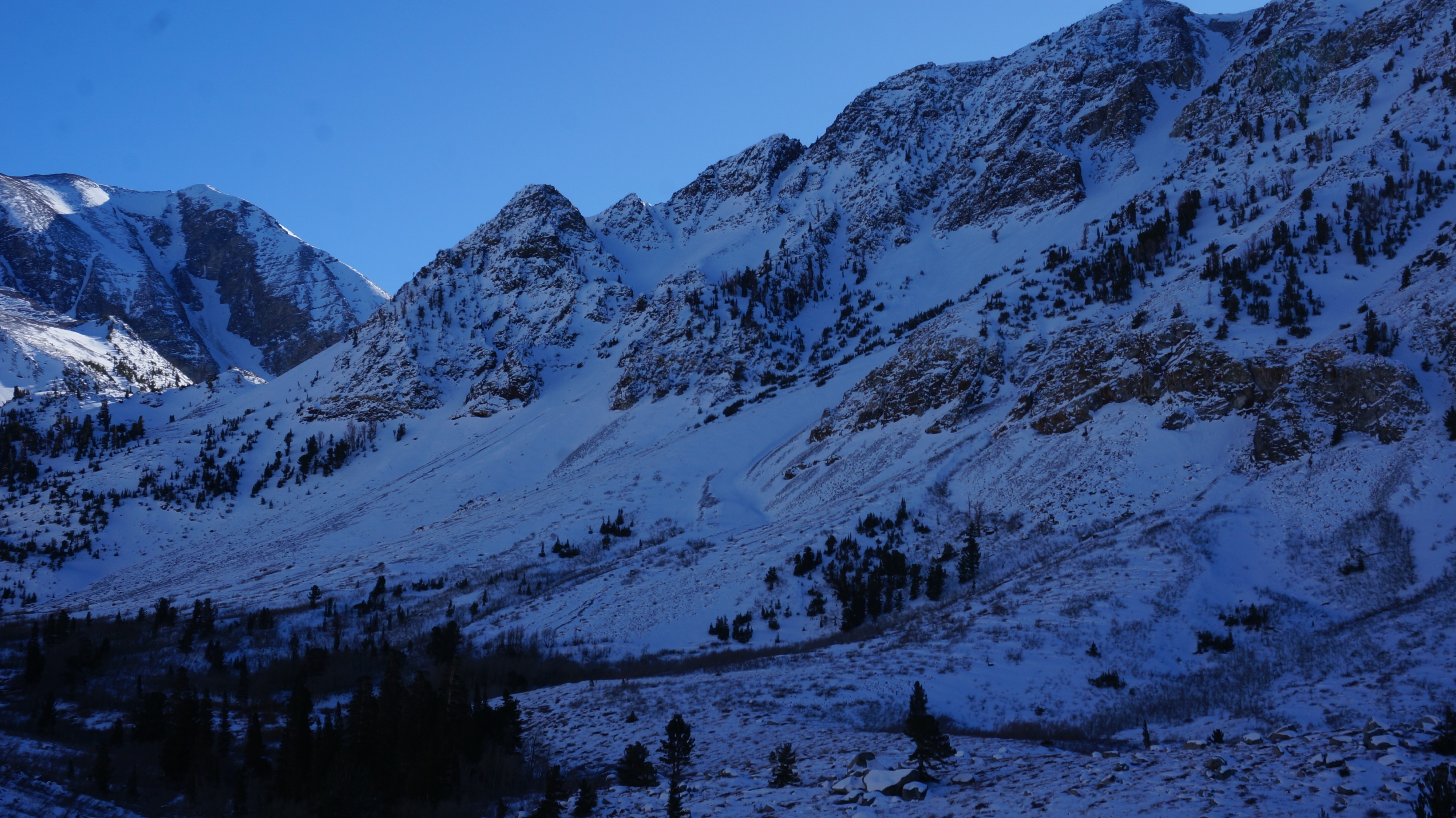
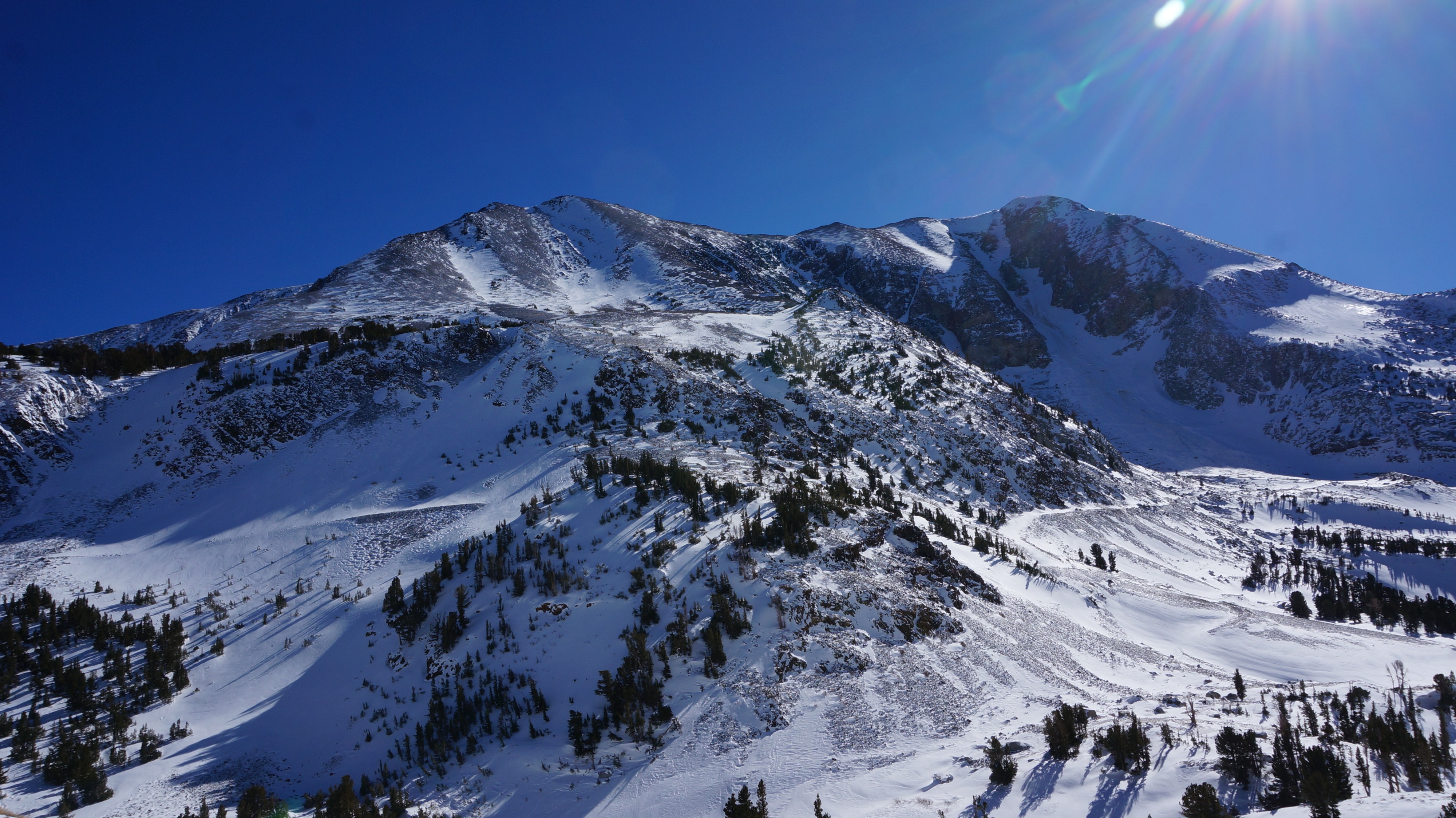
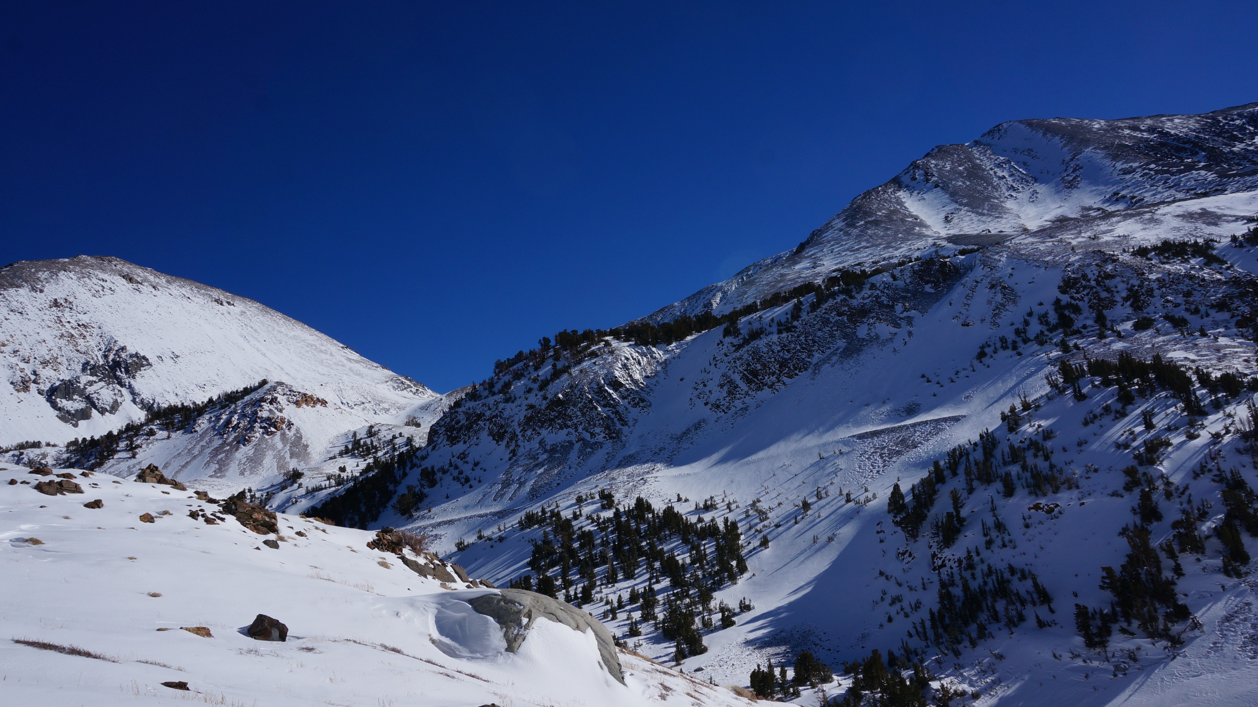
There is consistent snow coverage in North facing cross-loaded couloirs and bowls above the treeline. That is also where you might find the current avalanche problems. Bloody Couloir is a prime example (see photos). The coverage reminds me of the Mammoth area in early December, but the persistent weak layers, and the snowpack overall, seem to be stronger in this area at the moment than was observed earlier this season. Significant uncertainty remainsconcerning the snowpack above 11,000'.
Weather
- Cloud Cover
- clear
- Wind Loading
- previous
- Rain Elevation
- 9000'
- Recent Snowfall
- 2" to 4"
- Snow Avail For Transport
- small smounts
It was a pleasant day to be out in the mountains, with cool temperatures, clear skies, and calm or light winds at lower elevations. Light blowing snow was visible on the highest-elevation ridges. It looked like northwest winds were moving snow into SE terrain.
Snowpack
No signs of instability in Laurel Canyon today. Topped out at 10k NTL.
BTL: Thin breakable rain crust up to 9000'. The only true snowpack exists on N and E sides of treed knolls and in gullies. Creeks are open. HS max 90 cm. 90% of the terrain does not have enough snow for avalanche formation. Multiple MF crusts are protecting the DH below 9300' and the DH is a thin layer (4F hardness) at the ground interrupted by vegetation. Boot penetration 0 to 90cm.
NTL.: HS: 0 to 120cm. Persistent Weak Layer is down 65 to 95cm in wind drifts. Depth Hoar is 1F chained 8mm to 4F 1.5mm FC, no results in CT or ECT. Looks like wind slabs were the primary avalanche type during yesterday's small storm. A few refilled crown s can just be made out. Max size 1.5. Good cohesive surface slab formed in the past 24 hours, non-persitent grains at that interface. ECTN and CTE RP down 5 to 20cm. No signs of instability though: specific and stubborn on NW through E (west winds loading). Boot penetration 0 - 90cm
ATL: Visual obs only. Only crown ATL was in Bloody Couloir. Most snow exists on Northwest thru East top and cross loaded features.
Avalanche
- Size
- D1.5 R1
- Type
- HS
- Aspect
- NE
- Trigger
- N
- Elevation
- 10000 ft