
Quick report
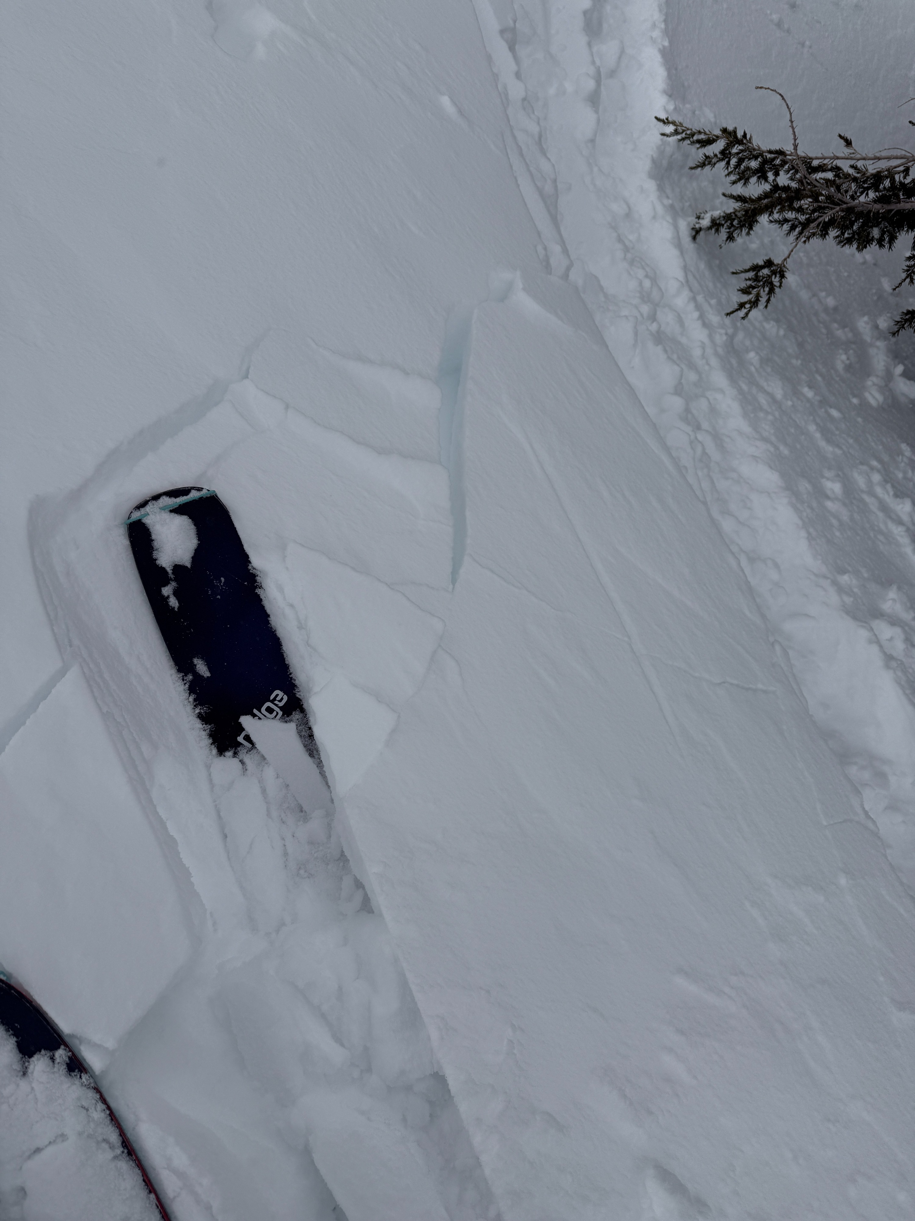
- Cracking
- isolated
- Collapsing
- specific
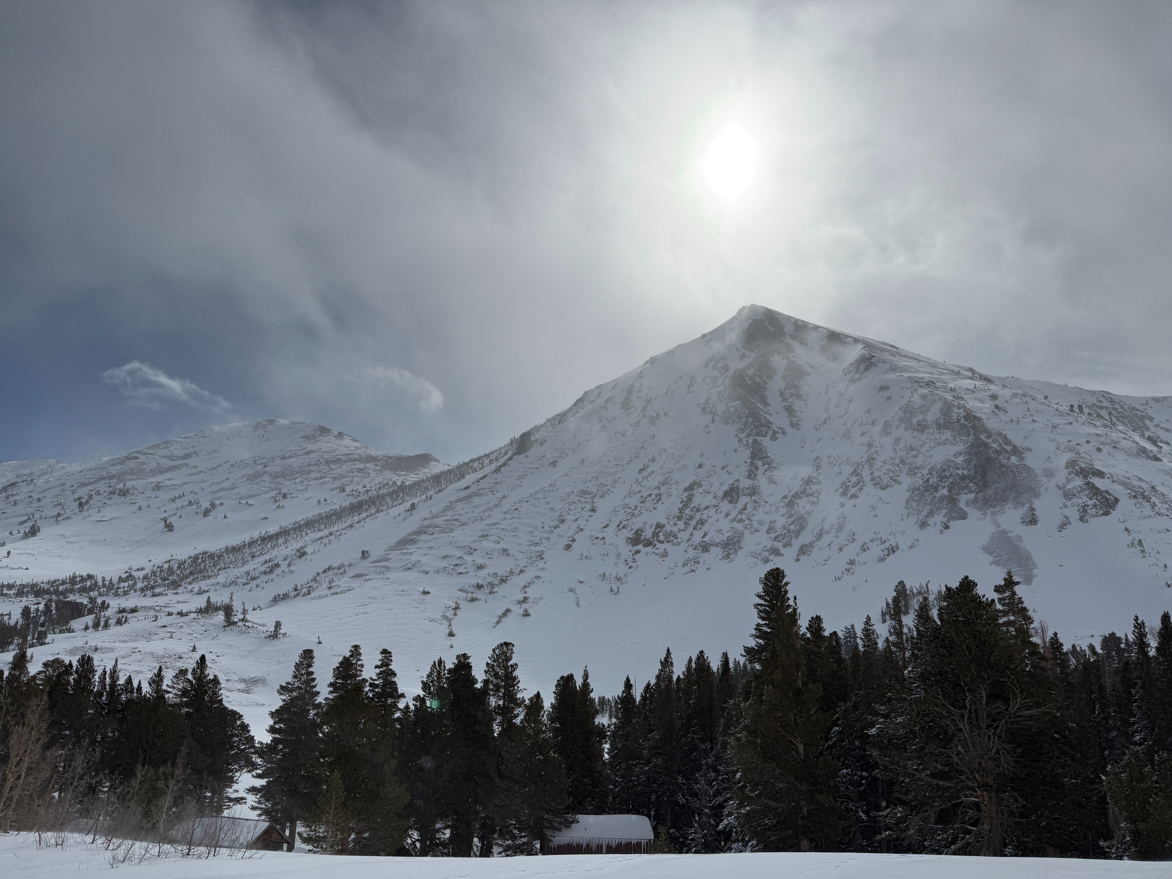
We went for a tour in the Virginia lakes area today to survey the area post-storm and to get a sense of current instabilities.
- Our recent storm systems over the last week have greatly improved coverage in the area.
- Intermittent snow showers continued throughout the day, with periodic glimpses of blue skies and waning snowfall rates.
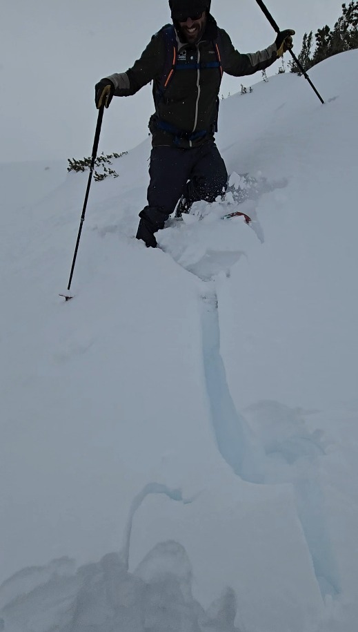
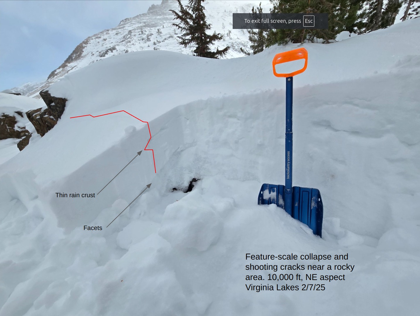
- We observed several audible collapses while climbing a sparsely treed NE slope between 9,000' and 11,000'. These collapses were associated with shooting cracks up to 20' in length in a few locations.
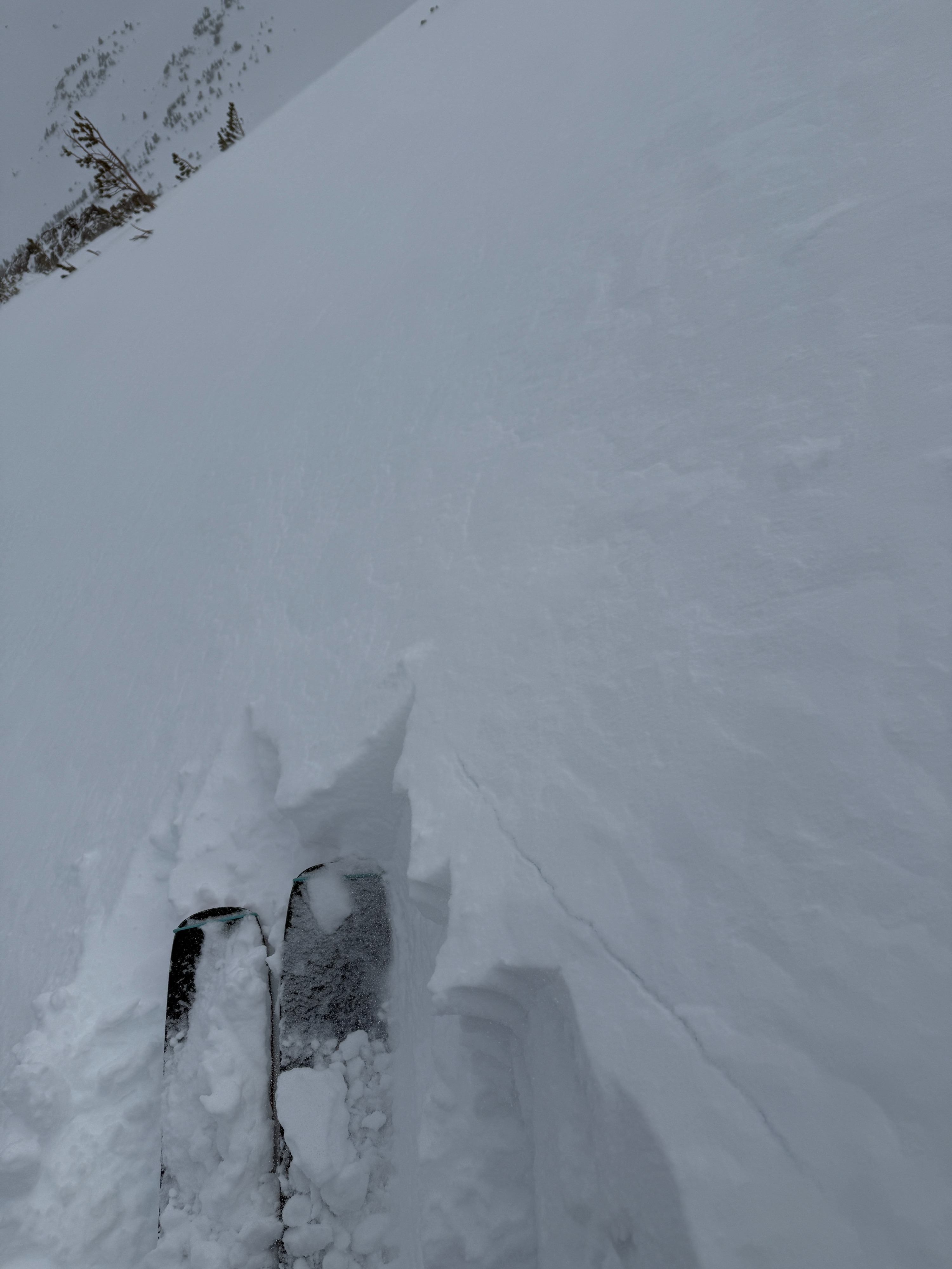
- Recent wind deposits were reactive, moving towards stubborn on test slopes near treeline. We observed deposits from 4" - 15" thick.
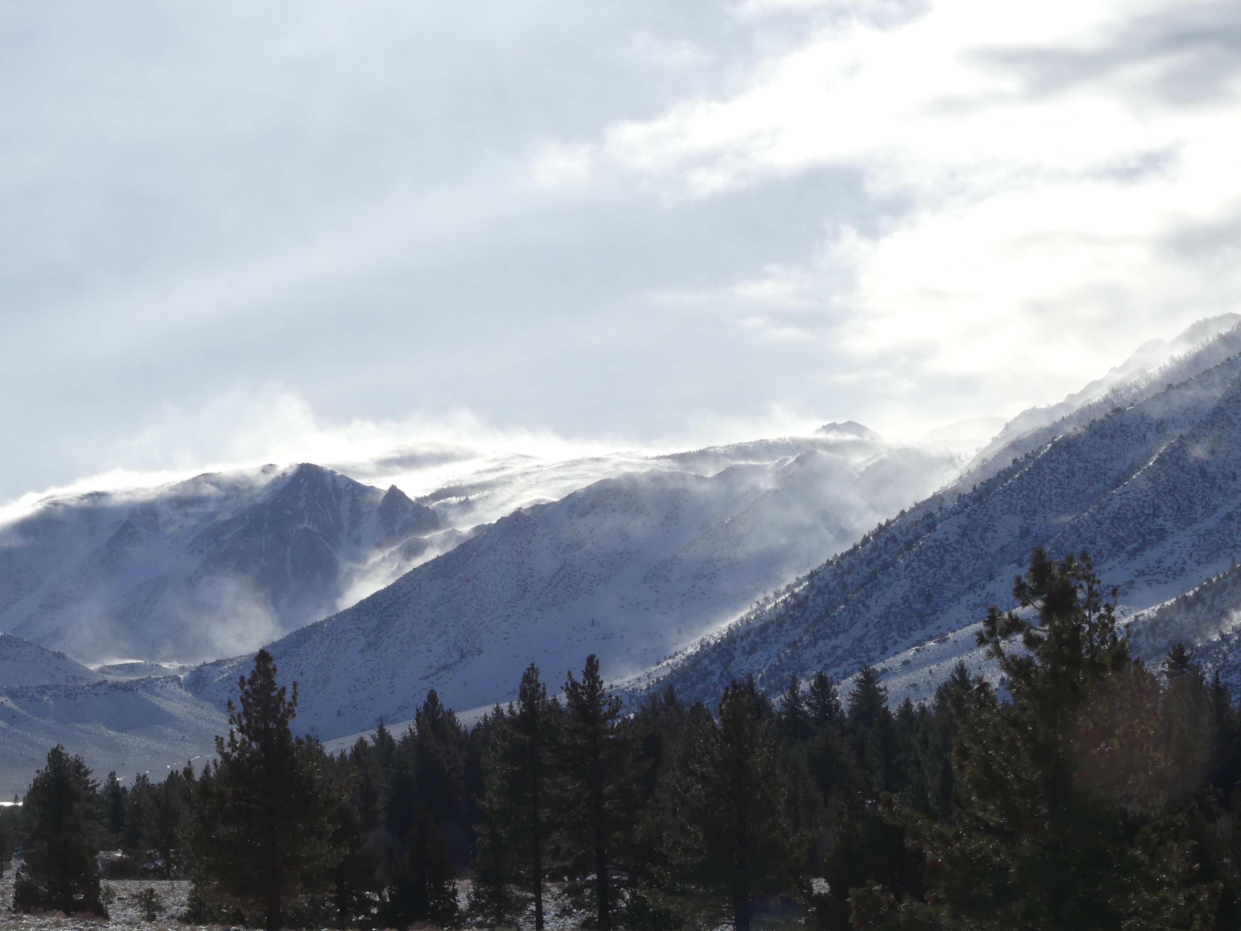
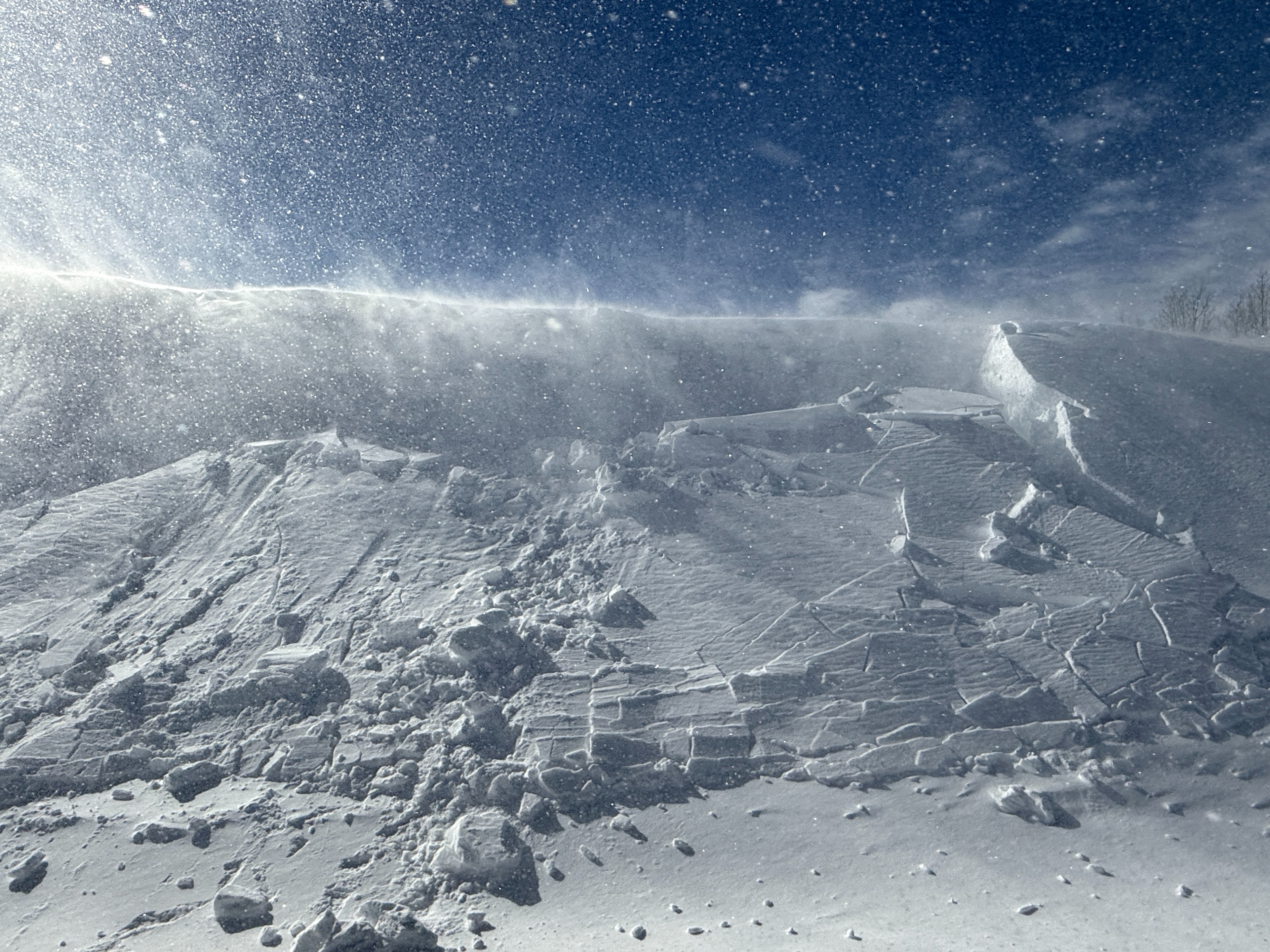
- Wind transport was impressive in the alpine today up and down the range. We were sure to avoid wind-loaded slopes capable of producing avalanches over size 1 in size.
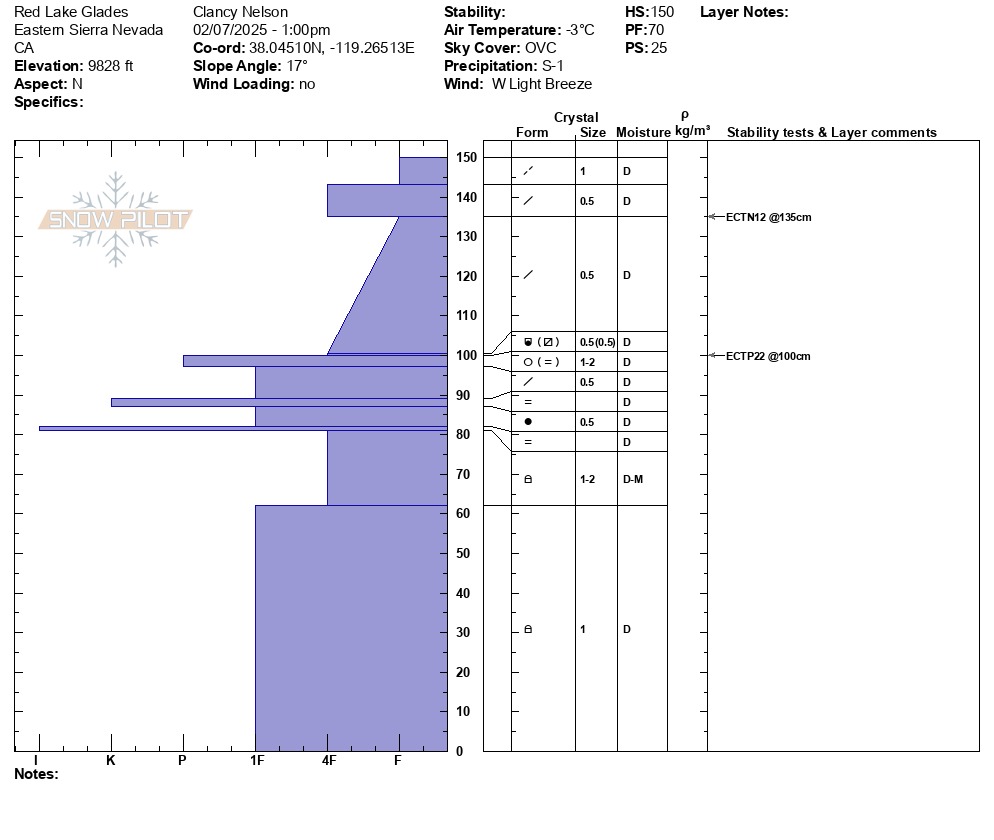
- Digging in on a north aspect around 9800', we found about 50 cm of new snow since 2/4. There was a series of crust layers from the Storm on 2/1, and about 1 meter of faceted snow below. Test results found propagation just above the rain crusts on a thin layer of buried near-surface facets.
- See profile for more details
Weather
- Air Temp
- 27
- Cloud Cover
- broken
- Wind Loading
- moderate
- Recent Snowfall
- 50
- Snow Avail For Transport
- large amounts
Extreme southwest winds were driving intense wind-loading near and above treeline across the range for most of the day. Skies were largely overcast, with intermittent snowfall throughout the day.