
Quick report
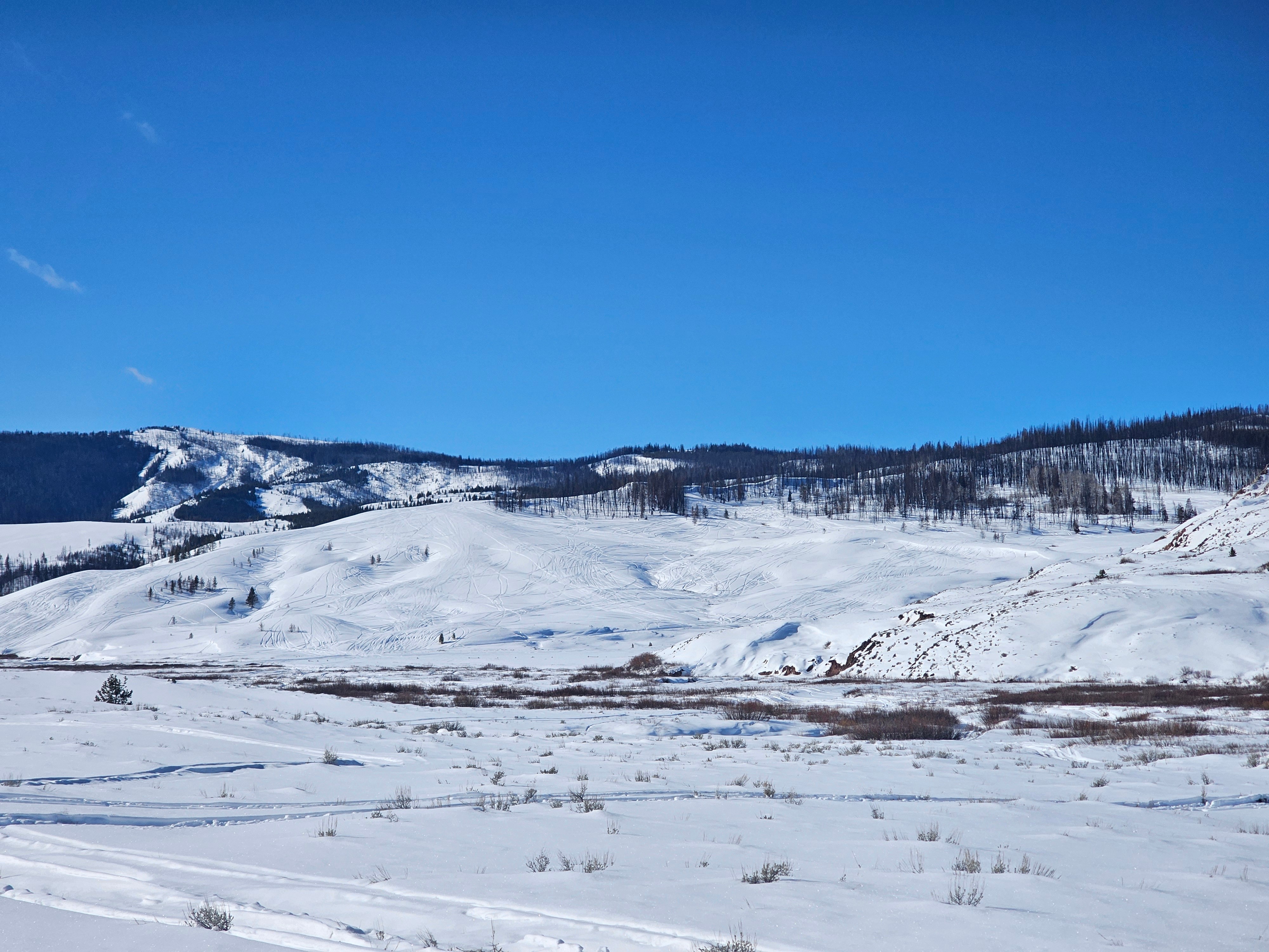
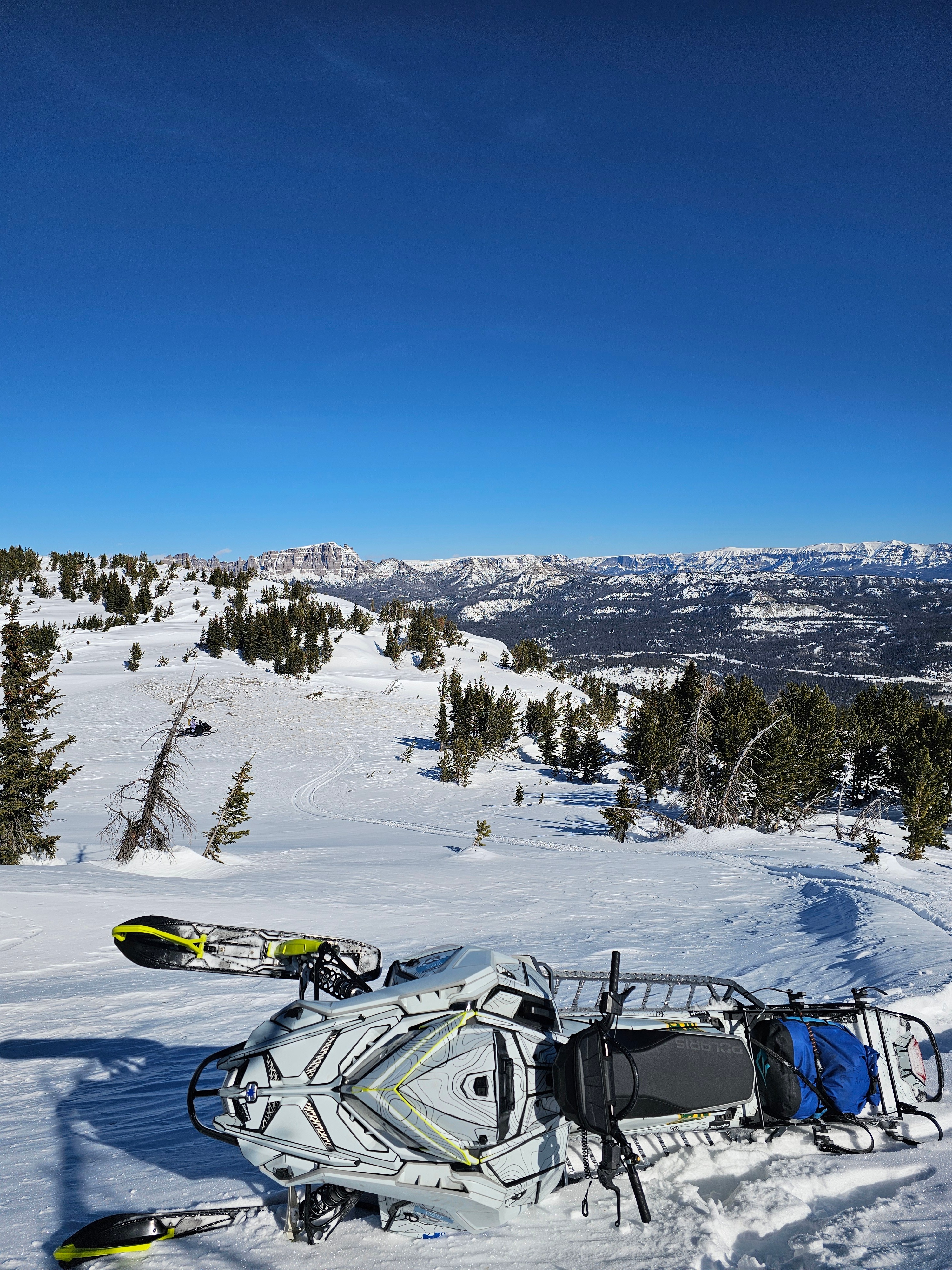
Travelled down the North Fork of Fish Creek and to the top of Lava Mountain. Most places that can be ridden have been.
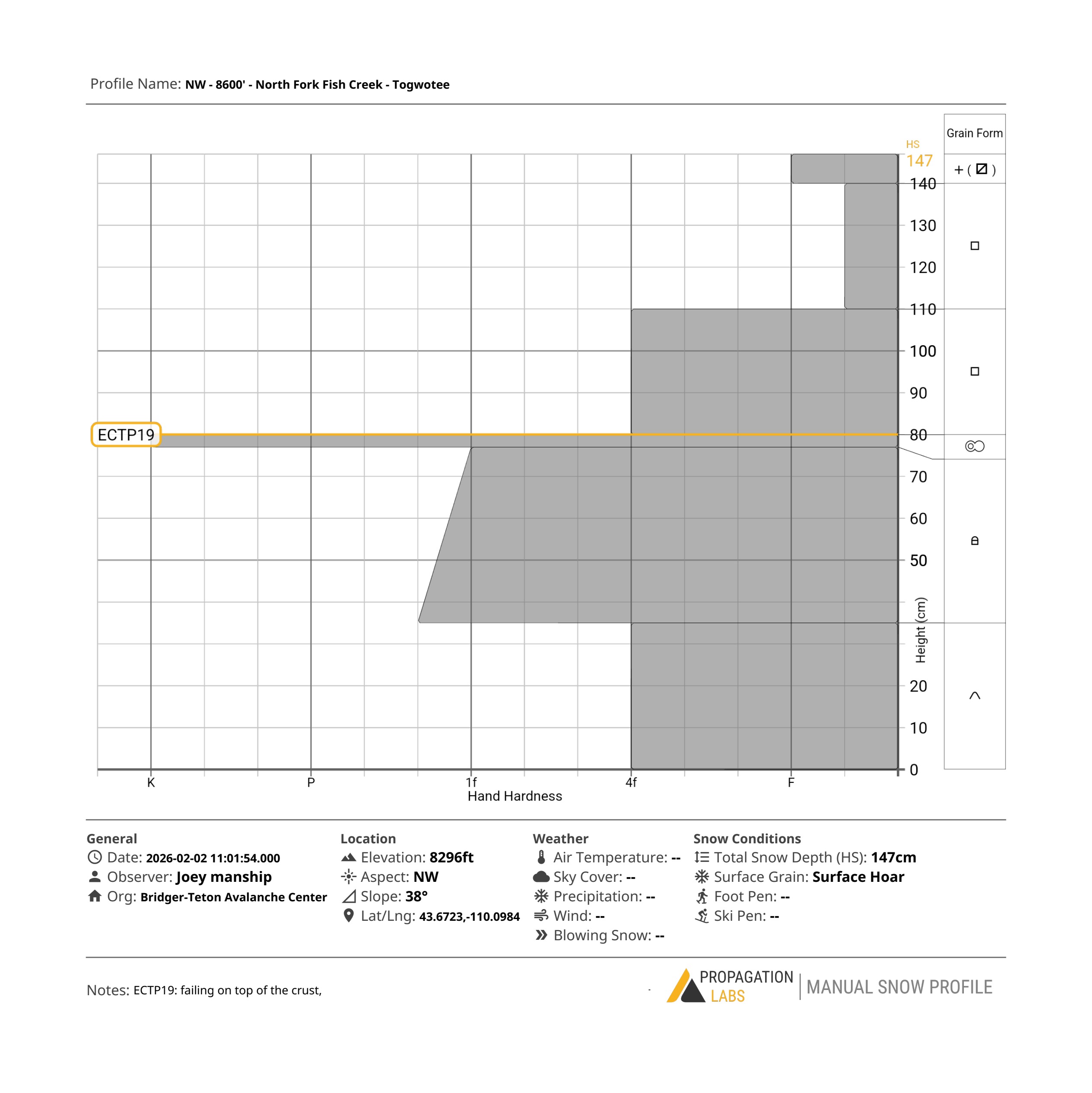
This part of the Togwotee area has a shallower snowpack than places to the west. We found average heights of snow to be 3-4' (85-135cm). Like other areas, the top 10" (20cm) has significantly weakend. In this zone I am seeing a bit more weak snow throught the whole snowpack due to being shallow.
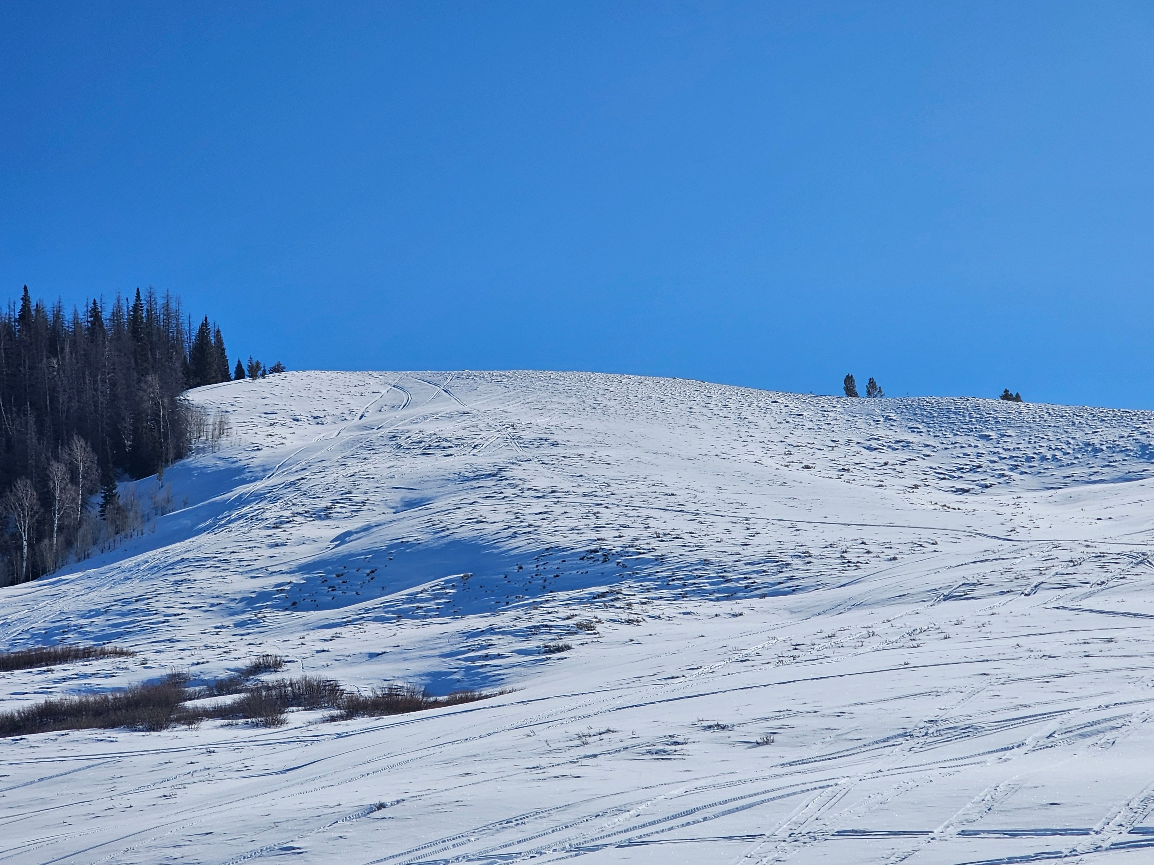
The top of Lava Mountain was a moonscape of rocks and wind whales. There is little snow left from repeated batterings from westerly winds.
Traveling down the North Fork of Fish Creek to the confluence of the South Fork there is enough snow to travel, but hardly anything more at this elevation.
No signs of instability. There is some weak snow in the snowpack, and the snow surface will be a concern when we get a change in weather.
Weather
- Air Temp
- 20s
- Cloud Cover
- few
- Wind Loading
- light
- Snow Avail For Transport
- small smounts
Mostly clear skies, but a pesky wind was around for most of the day blowing light to moderate speeds. We did not observe any wind transport as anything that could be blown with this winds speeds already has. Solar slopes took on a little bit of head in some locations, but the wind kept things under control.
Snowpack
Poor snowpack structure exists if you go looking for it. I dug on a northwest slope at 8,300'.
There are isolated pockets around the range where the stars align and you may be able to find a similar snowpack to this. Overall, the chances of finding weak snow like this AND being able to trigger an avalanche are very low.
I use this piece of information to remind me to never turn my brain off in avalanche terrain and to assess slopes for attributes that could harbor weak snow.