
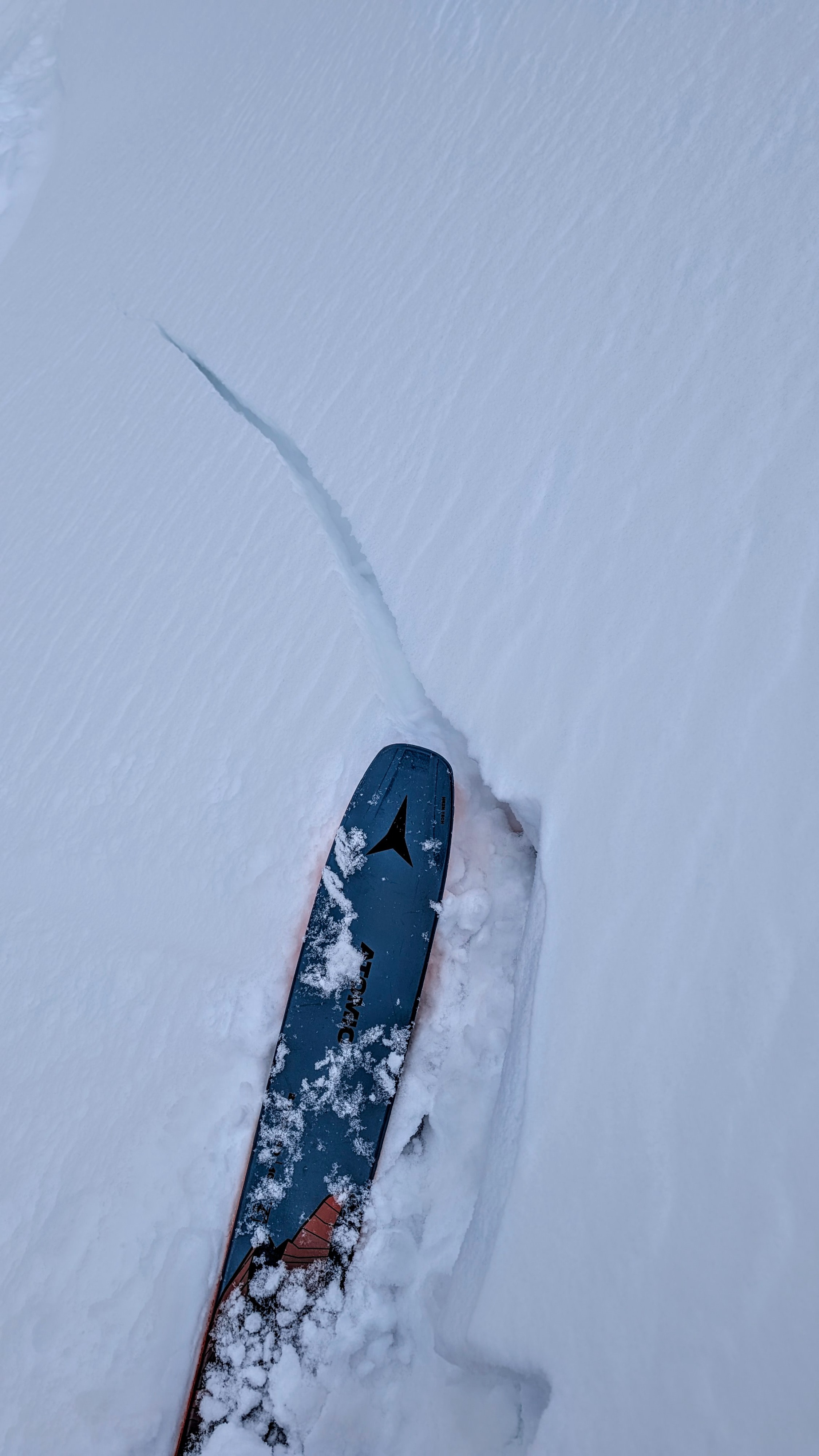
Quick report
- Cracking
- isolated
Edelweiss
Looks like we are receiving the low/mid range of forecasted snow but more wind than forecasted. Wind effect extends down into middle elevations and has created upside-down conditions in the top 8-12" where the wind has deposited snow. Relatively easy, planar hand shears in areas affected by the wind indicate it will take a little time for slabs to bond. Many of the hand pits I tested in wind-stiffened snow failed a couple of inches above the 2/27 crust at the new/old interface of snow that fell earlier in the week on Monday. Several hand shears failed on the crust. In truly sheltered areas where new snow totals were around 6", snow remained unconsolidated, produced no hand shear results, and appeared to be bonding well to the new/old interface.
Taylor/Glory
Exposed upper elevation terrain experienced fairly widespread wind affect of new snow. Windward slopes such as the east face of Taylor were stripped entirely bare exposing the Feb 3 crust. Fresh wind slabs were limited to small pockets on specific leeward terrain (atypical considering the NE-E wind). These slabs were not connected across large features, but could be on the right terrain feature. Slabs were up to 8" thick and produce shooting cracks on small, steep slopes and convexities. Moderate NE wind was consistent on ridgelines into the late afternoon with visible snow transport. Temperatures were relatively cold in middle to upper elevations.
Wind has been forming shallow soft slabs, less than 8 inches thick, on lee aspects in exposed areas. Minor cracking on steep slopes where wind loading is present.Weather
- Cloud Cover
- overcast
- Wind Loading
- moderate
- Snow Avail For Transport
- moderate amounts
Moderate NE wind in exposed areas above 8500'
Snowpack
Teton Storm Totals as of 5 pm: Surprise - 5", Chief Joe - trace, Rendezvous Bowl - 6", Teton Pass ~ 6"
All are on the lower end of forecasted totals.