


Quick report
- Collapsing
- isolated
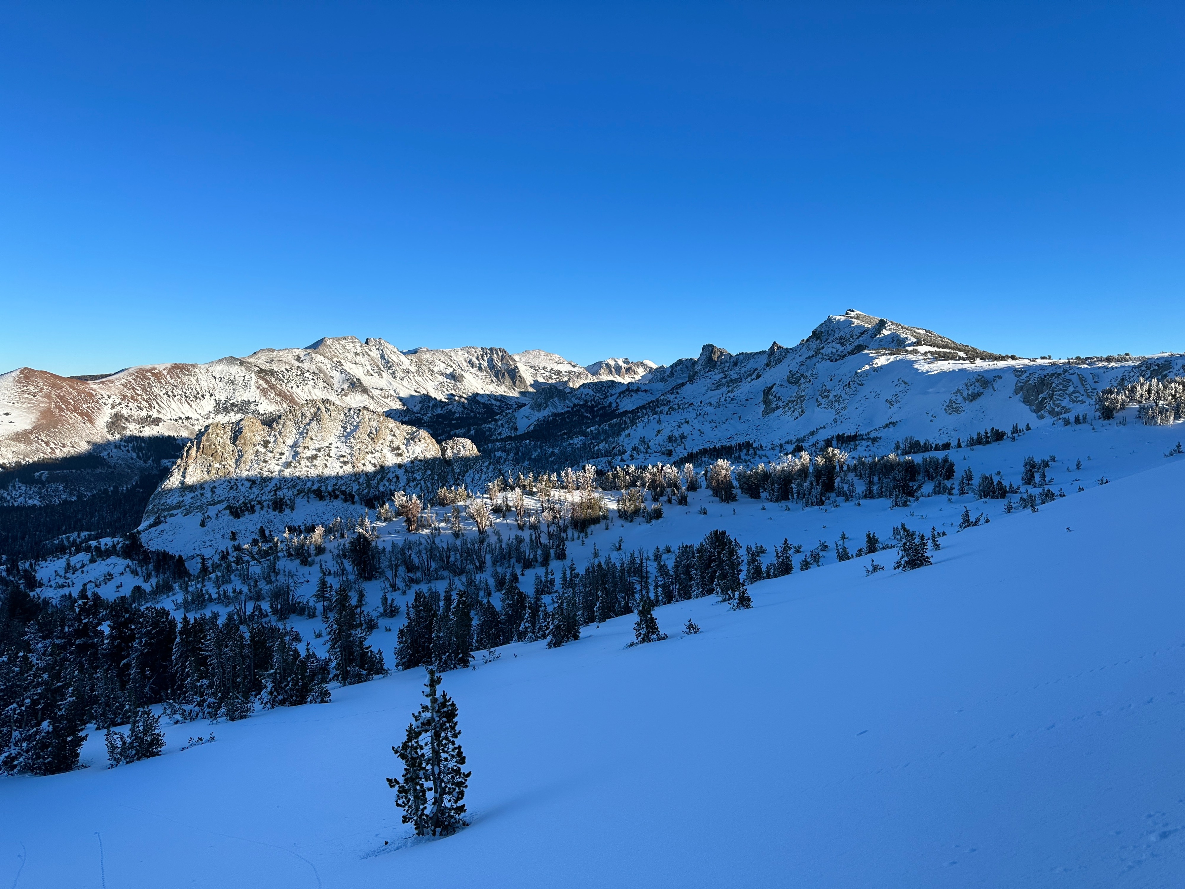
- I ventured into the lakes basin to get an idea of how the snowpack is evolving in an area with relatively more coverage.
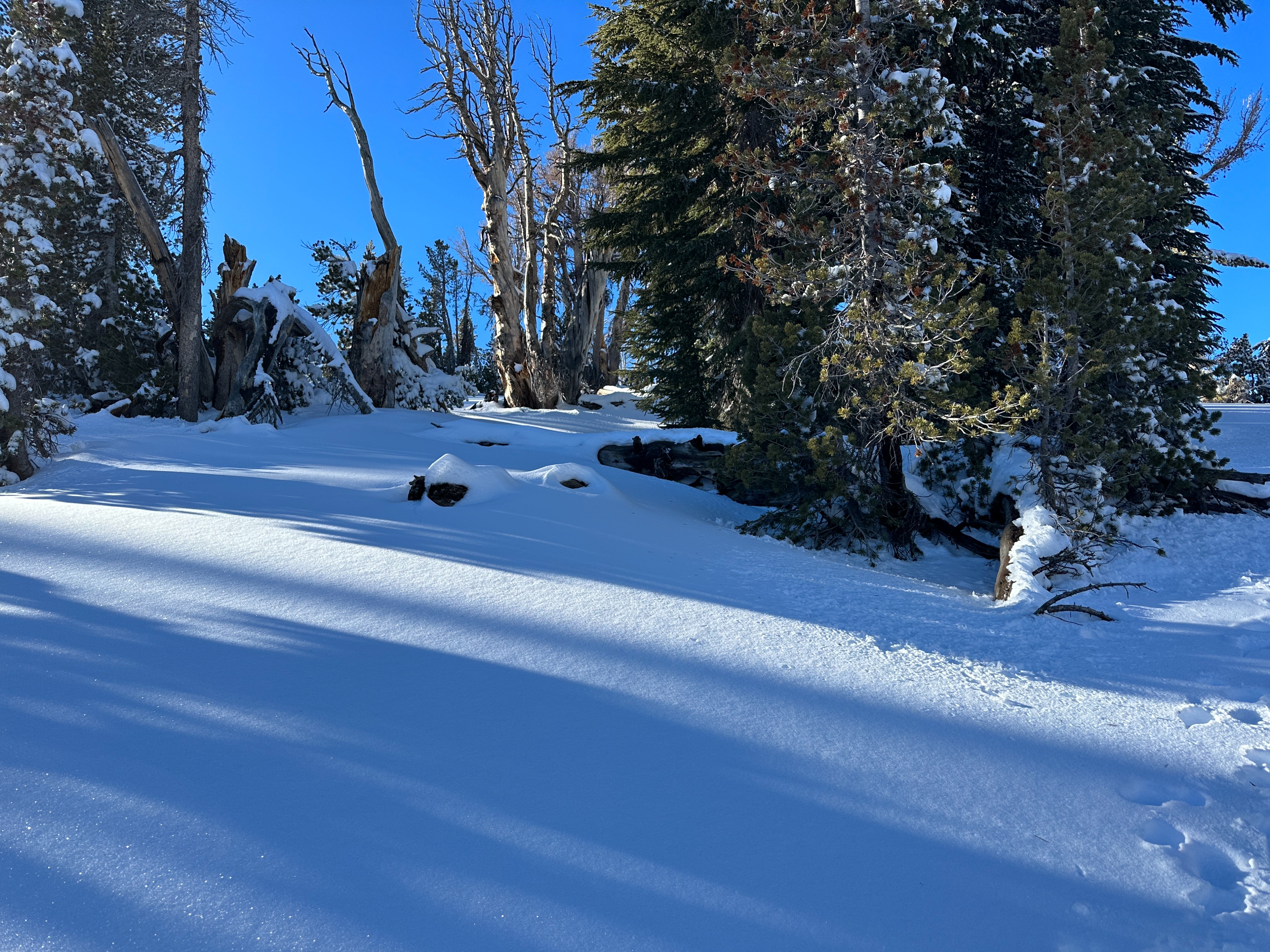
- Snow totals below treeline remain quite thin, ranging from a few inches to about 12”. However, recent rains and the resulting rain crust have created a relatively supportable snowpack. This proved advantageous for movement on skis.
- Near and above treeline, snow depths are slightly more robust, with measured areas from about 12” to over 3’ in favorable catchment zones.
- In general, the rains seemed to be most impactful up to 9500’ or so, but I did see evidence of rain impacts as high as 10,400’
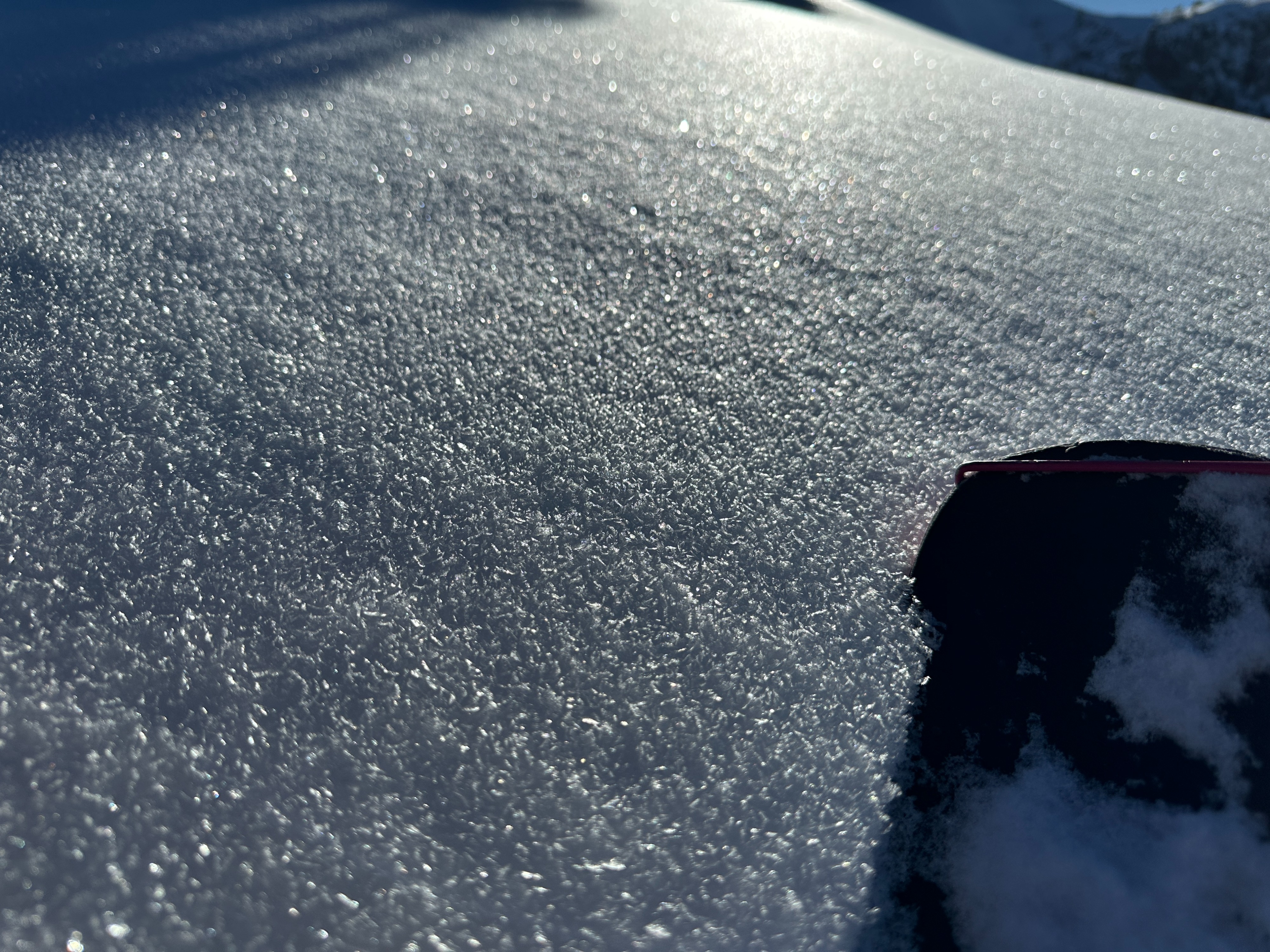
- Surface snow is dominated by surface hoar at most elevations. I would put the size of these grains at 4mm on average, but I found some as large as 6mm. I noted decent surface hoar at all elevations in all but the most wind-exposed areas.
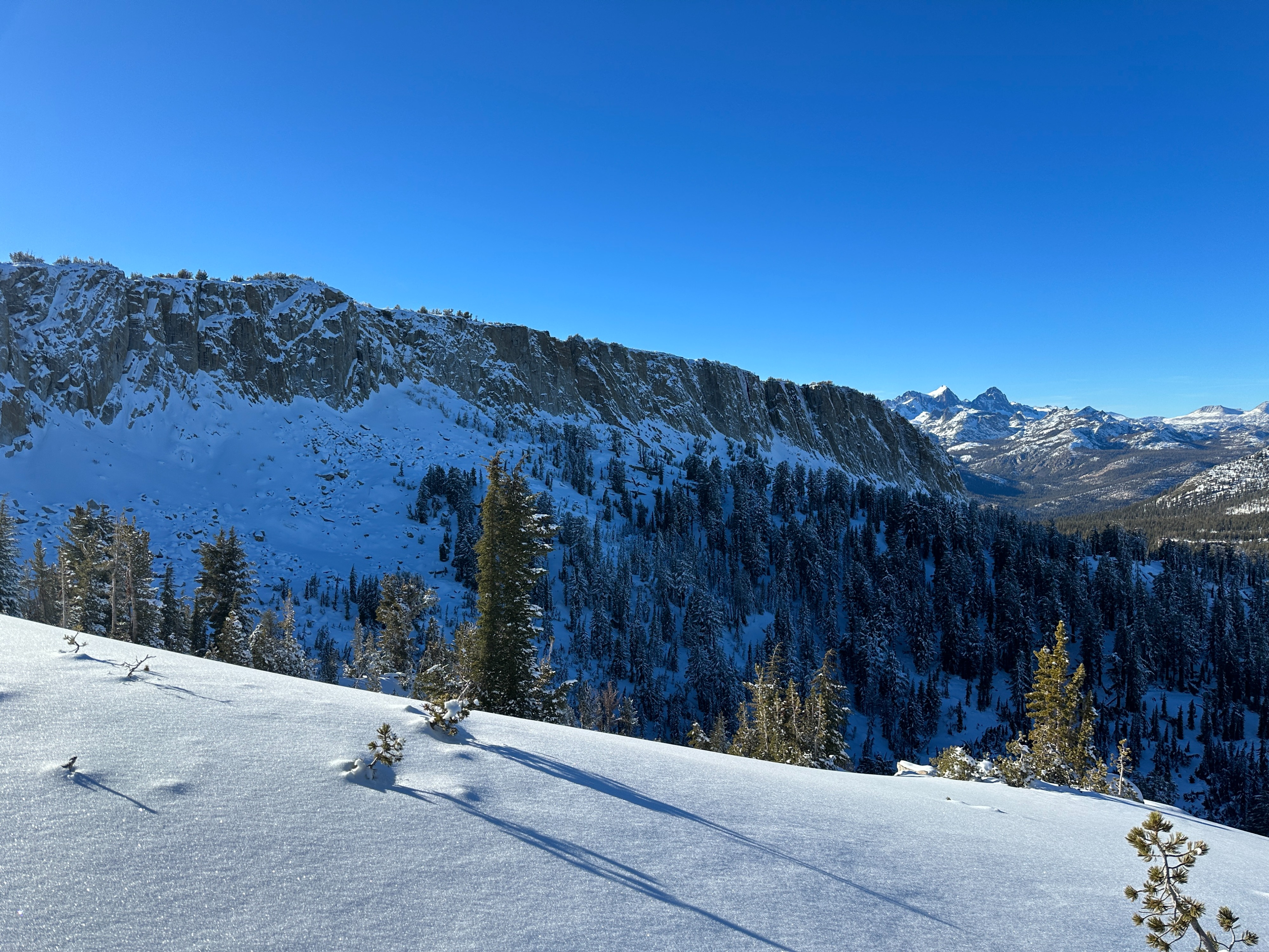
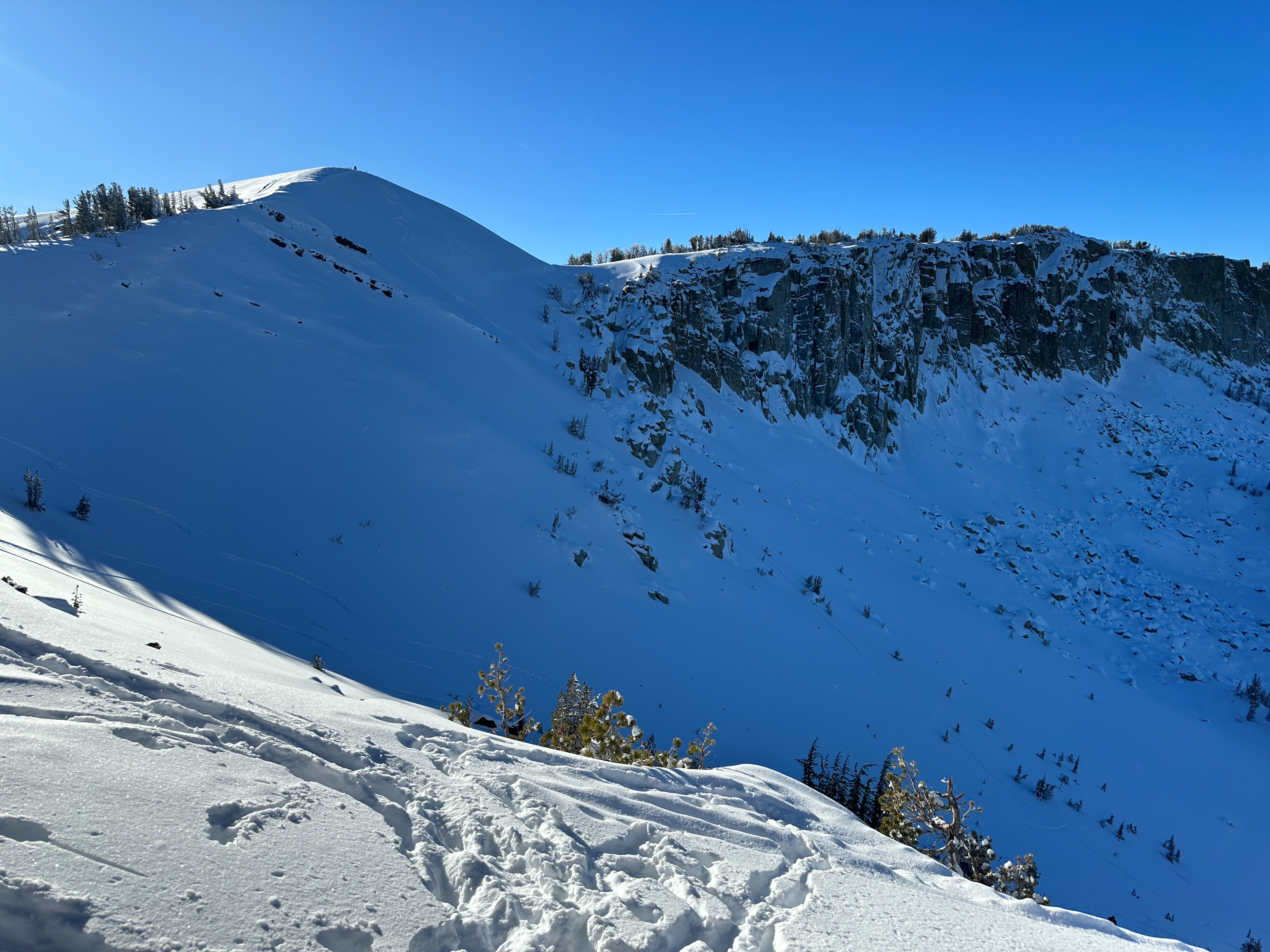
- Two large avalanche debris fans were observed in the ship's prow area in the back of the basin. While I could easily spot both debris piles, I can only confirm one definite crown line. I suspect both of these avalanches were pushing D2 in size.
- Overall, I was pleasantly surprised by the coverage in the lakes basin. However, the big picture remains the same. Thin and sporadic coverage is proving to be a challenge when it comes to over-snow travel and route selection. I am still moving slowly and with abundant caution.
Weather
- Air Temp
- 25-30
- Cloud Cover
- few
- Rain Elevation
- ~10,000~
Mostly clear skies dominated today with light winds out of the east. Temps hovered just below freezing for the most part this afternoon.
Snowpack
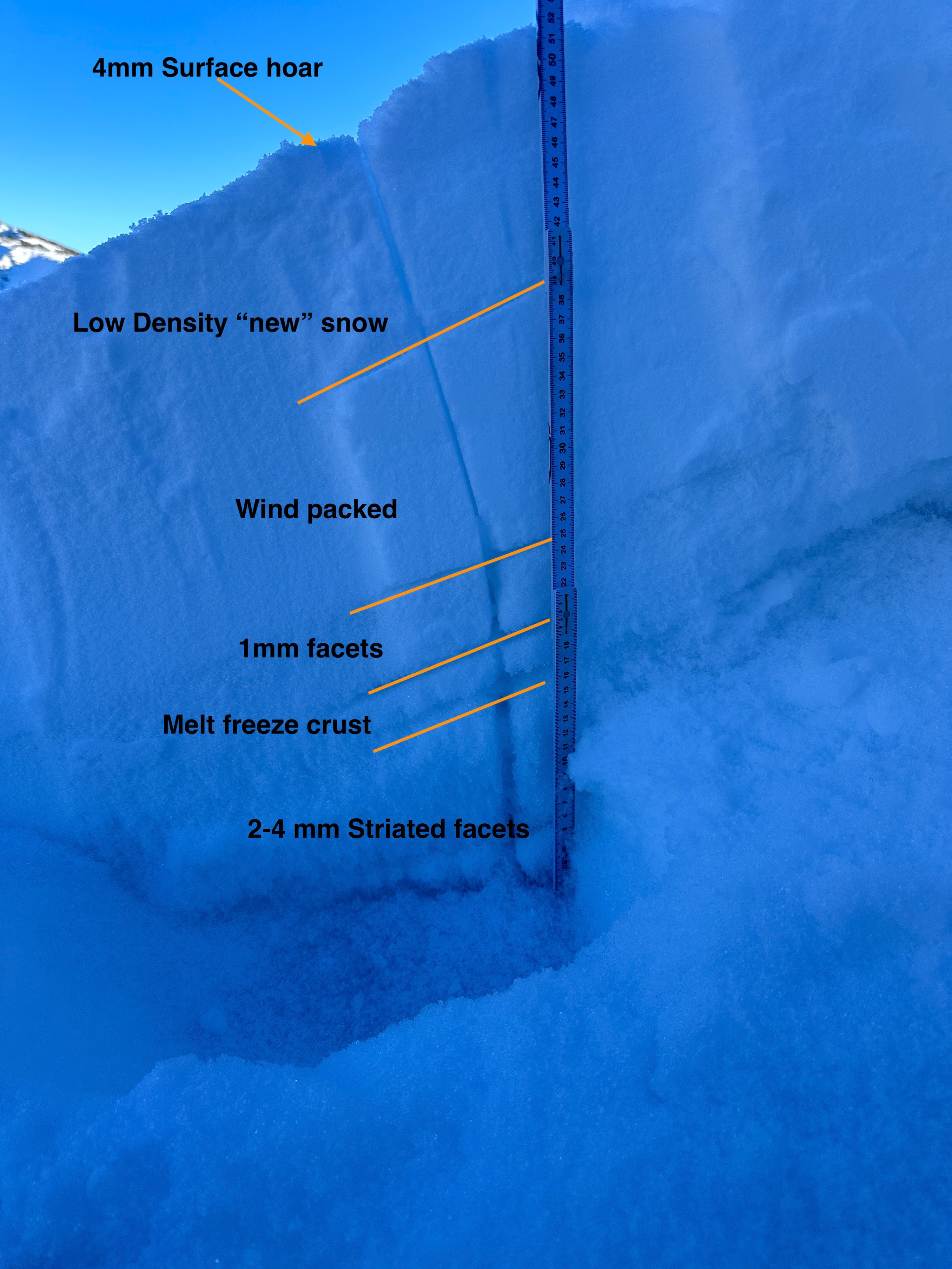
I dug in on a ENE aspect following my first collapse to get a look at the snow structure in that location.
- HS was 53 cm, and the snowpack was very similar to what has been found across the range. Some unconsolidated surface snow atop a wind-stiffened layer (the slab), sitting on a weak and faceted base. (the weak layer).
- Stability tests indicated our layer of concern in this location as a facet crust combo in the lower third of the snowpack. CT6 SC, ECTP12 both breaking at 19 cm. (see pit profile for more details.)
I dug a second hole near the crest in a wind-loaded area and found a similar structure with different results. Time pressures kept me from completing a full pit profile, but I’ve put together a pit to illustrate the basic structure.
- In this location, HS was 110cm and overall, the snowpack has seen much more substantial wind loading.
- Stability test pointed to a layer of concern on a facet crust sandwich mid-pack, though I did not see propagation on my ECT test.
- It is worth noting and difficult to illustrate in my pit profile, but I believe this area received some rain during the last storm cycle. The weak layer highlighted by my tests was interrupted by some ice channels, and the bed surface was pretty rough. Important context when evaluating this pit in isolation. (see profile for more details)
Avalanche
- Size
- D1.5 R1
- Type
- SS
- Aspect
- NE
- Trigger
- N
- Elevation
- 10696 ft
Two large avalanches were observed in the back of the Mammoth Lakes basin today. These occurred during our recent loading event, but the exact timing is unknown. The lookers right slide has an obvious crown and occurred on our buried facet layer. I was not able to spot a crown on the lookers left slide but given the similar size and location I suspect similar parameters.