
Quick report
Observed a consolidating snowpack with significant melt due to fog, warm temperatures, and rain. Did not find a strong-over-weak structure that had been observed Monday at the beginning of this warming cycle.
Weather
- Air Temp
- 50
- Cloud Cover
- broken
- Wind Loading
- none
- Rain Elevation
- All elevations beginning 13:00
- Recent Snowfall
- 0
- Snow Avail For Transport
- none
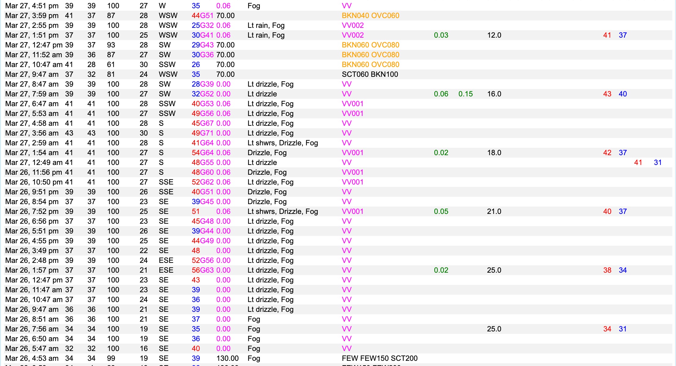
Broken to overcast clouds (with a brief window of sun) with intermittent gusts. Found pockets of warmer air in sheltered areas along the Gulf of Slides ski trail.
Snowpack
In terrain, found a consolidating snowpack that had significant melt primarily due to fog, but also warm temperatures and additional rain.
The concerning strong over weak structure was not observed as most of the snow was moist and saturated to the ground. In just over 24 hours MWOBS reported 13 inches of snowpack lost and settlement at the summit. The Hermit Lake snowplot reports 7 inches of snowpack melt and settlement as of 7:00 AM this morning. Summit temperatures peaked at 43 F and Tuckerman Ravine and Gulf of Slides were 50 F most of the morning into the afternoon. The summit has not been below freezing since 7:00 PM March 25th.
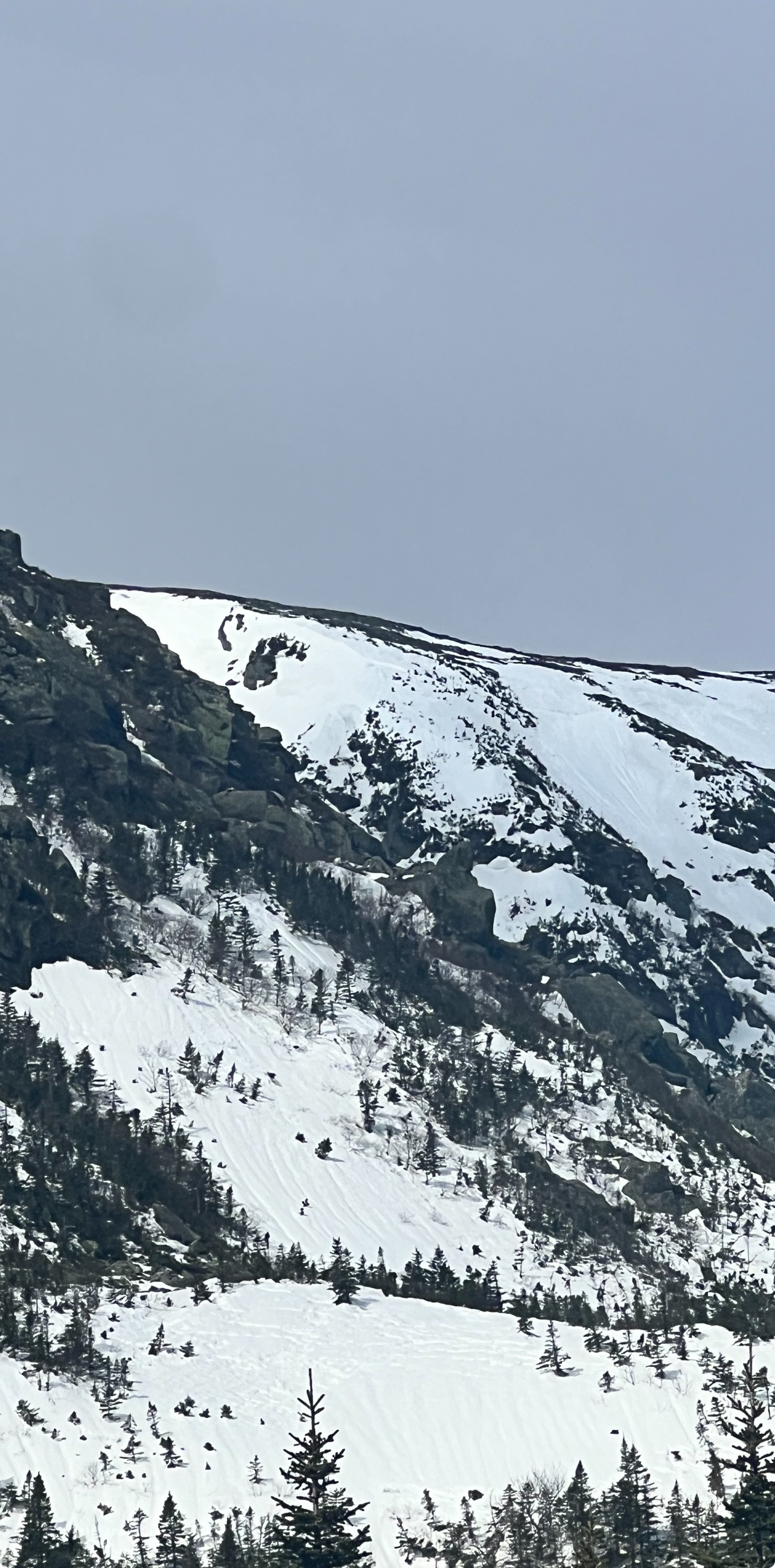
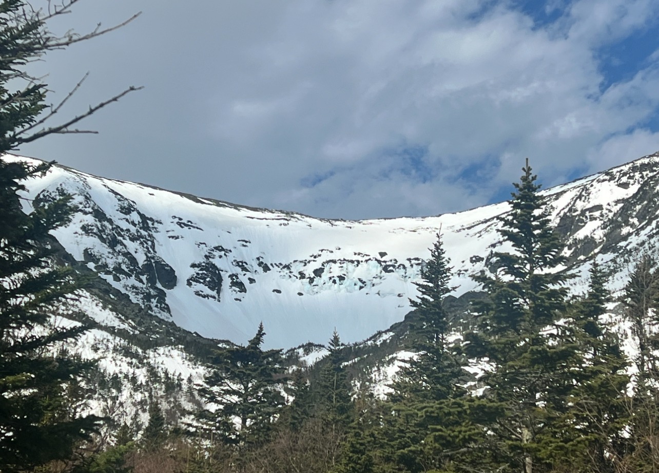
We conversed that peak instability for naturals had likely passed overnight or in the early morning as some snow in Tuckerman Ravine (from afar in Hermit Lake) looked like it had avalanched (Left Gully), decreased snow coverage, and fallen ice .
The snowpack of late has undergone significant changes over the last 10 days, cold temperatures, a lot of wind, significant snowfall, graupel layers mixed in, and then even more snow and more wind. Multiple large avalanche cycles were followed by rapid warming and significant snowpack loss. There have been a lot of changes in a short amount of time and the snowpack has had limited time to settle. Temperatures are not forecast below freezing until Thursday evening and that will likely help to stabilize this snowpack.
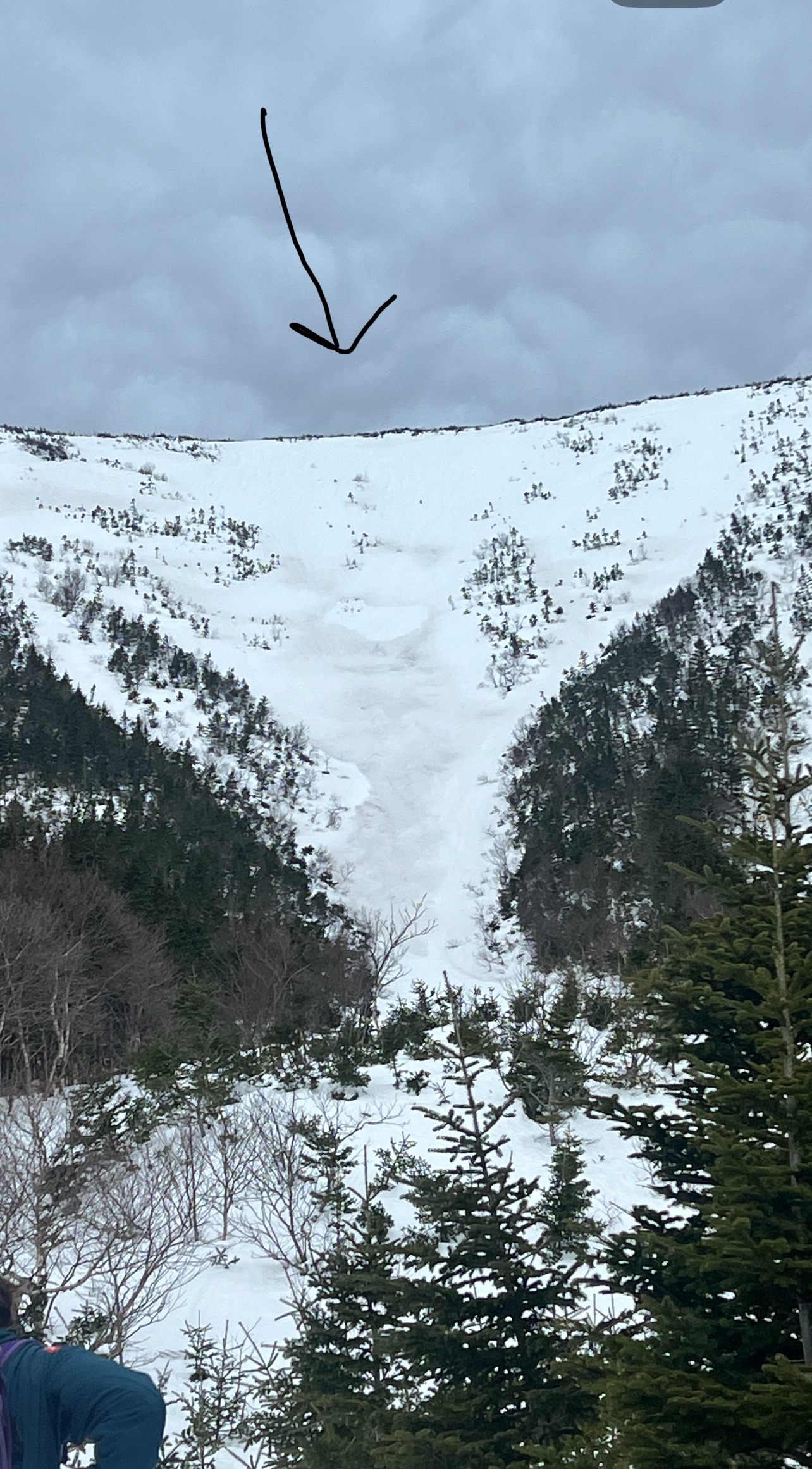
Tomorrow, more significant rain will add to destabilizing the wet snow and remaining slab structure. In Main Gully in Gulf of Slides, slabs were observed high in the startzone. Those slabs are more exposed to wind and may have retained some structure (this is speculative) but would be areas of concern tomorrow as rain adds new weight and stress to the snowpack. Tomorrow's problem is likely smaller in size (due to fog eating the snowpack) but becoming more sensitive with NWS’s forecast of 0.76 inches of rain to fall during daylight hours tomorrow.