
Quick report
- Cracking
- widespread
- Collapsing
- widespread
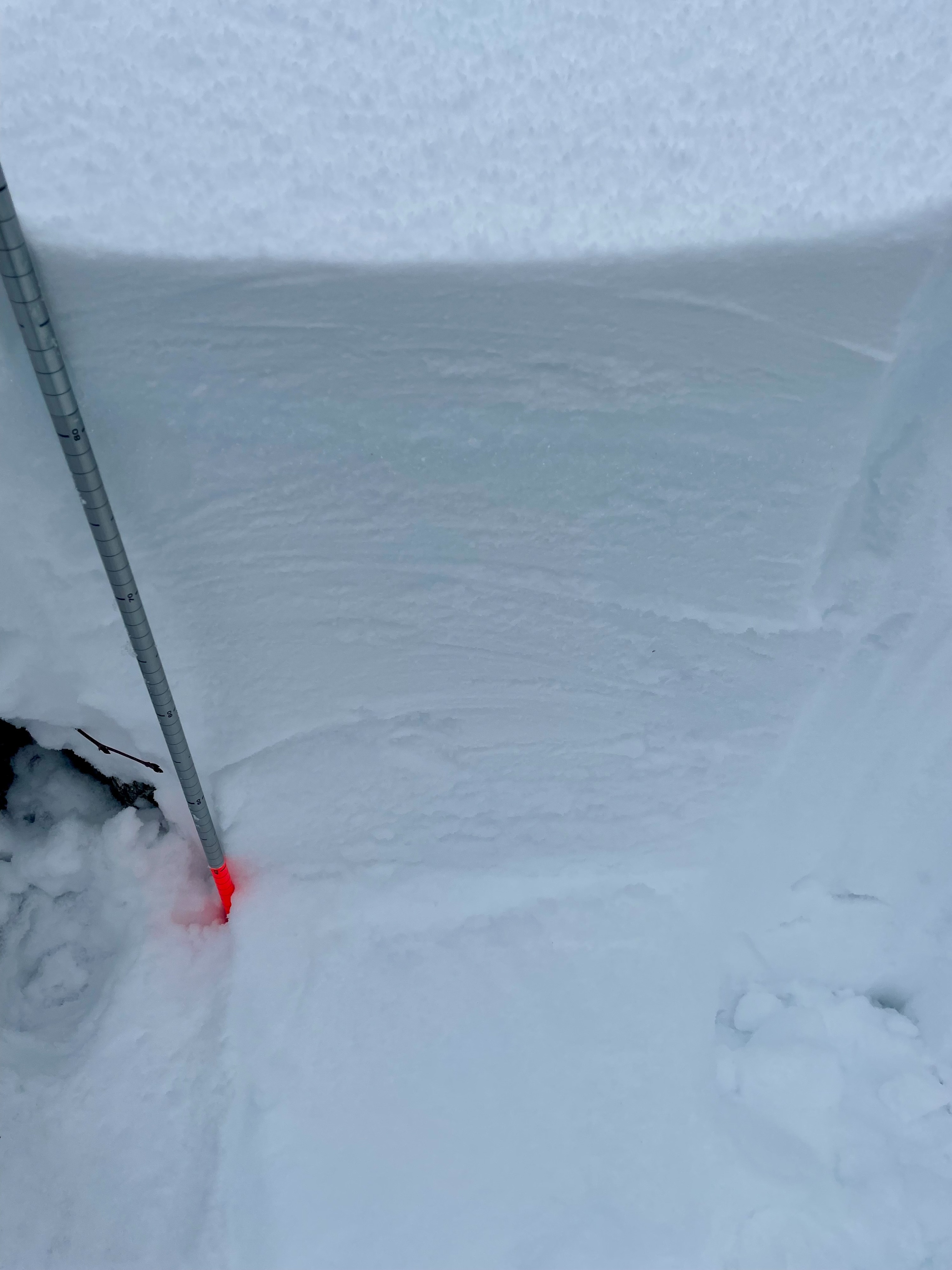
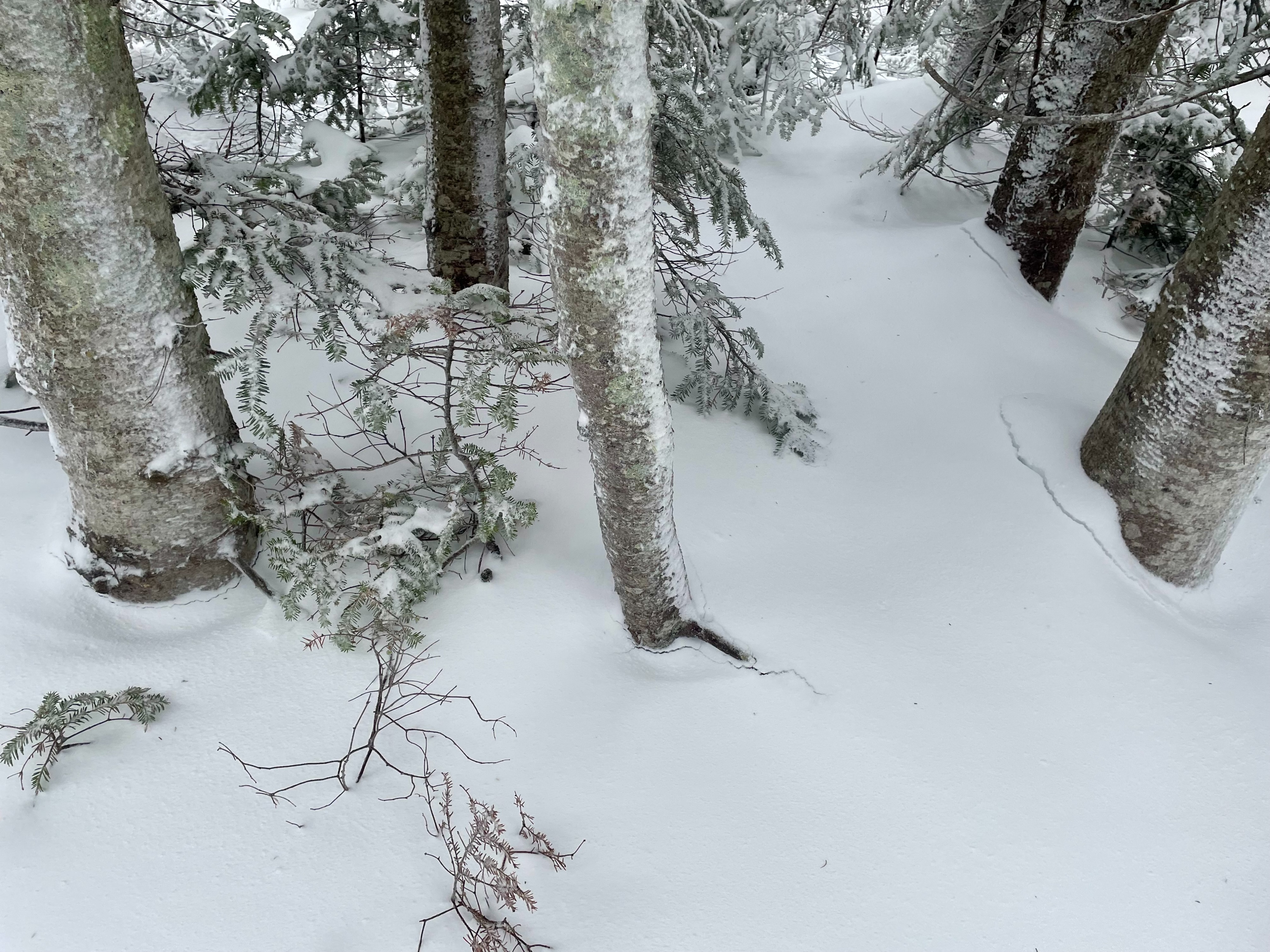
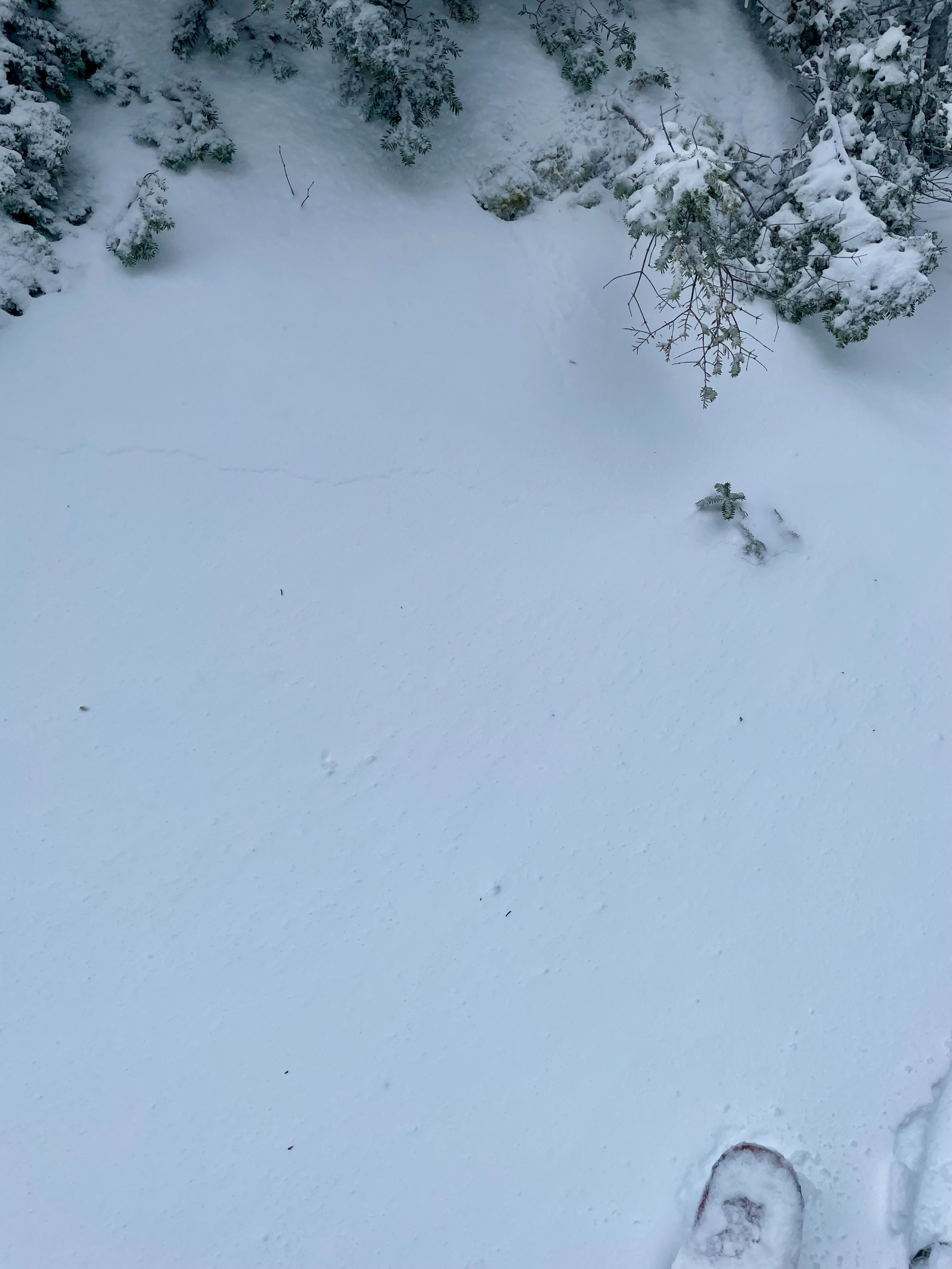
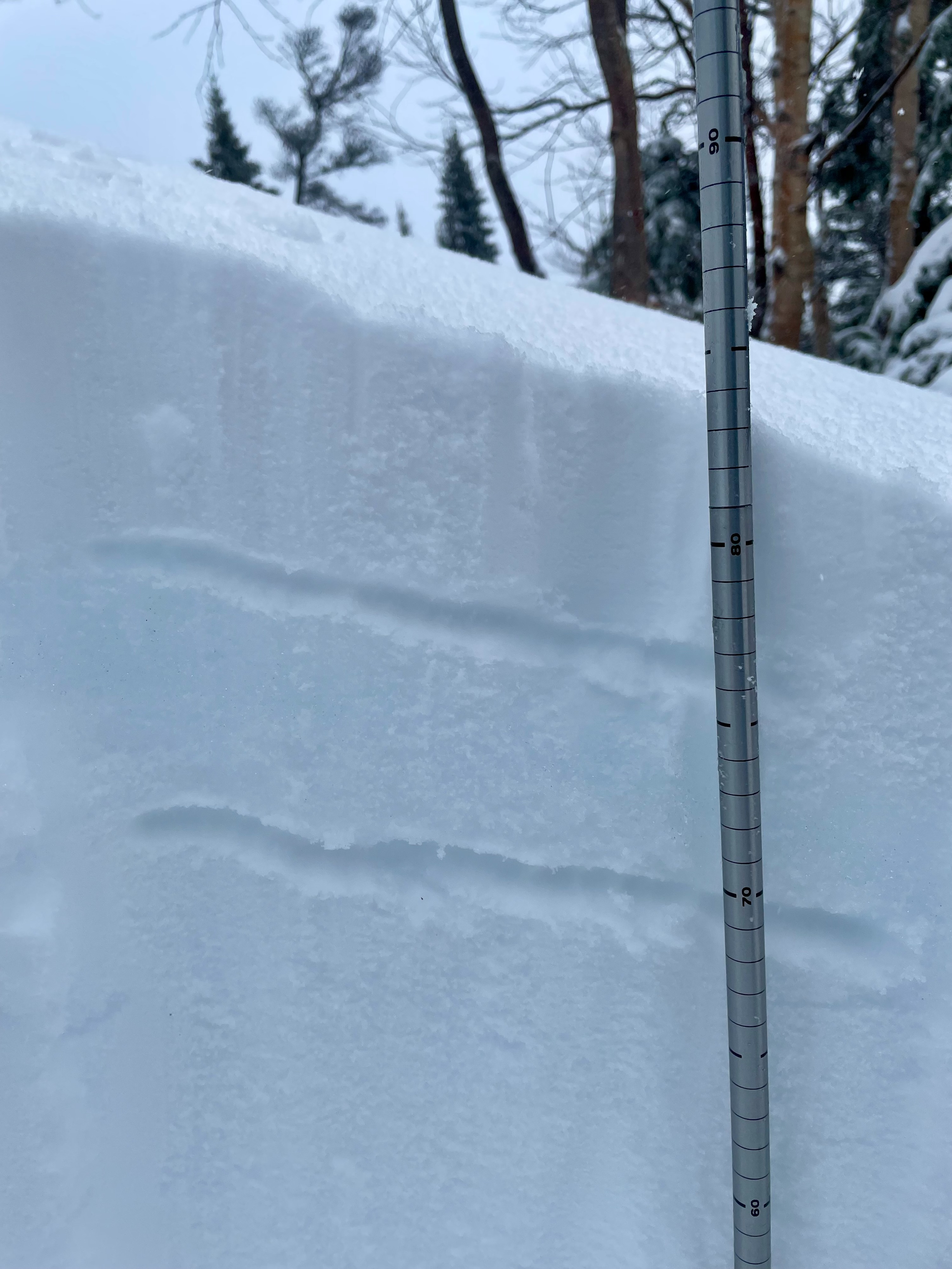
At around 15:00, we ventured up to observe the new snow. Specifically, we were interested in how the rain/moisture had moved through the snowpack. As we moved around, we experienced widespread whumpfing and collapsing of the snowpack. We experienced similar collapsing earlier in the morning, but at this point we were unable to consistently see large cracks shooting out from our skintrack as we had earlier in the day. We also noted signs of settlement around trees. At around 4000’ in the Little Headwall area, we dug a quick pit. We were able to identify a ~6cm layer of 4F new snow on top of a ~6cm layer of large, wet grains (2mm) that were from the rain/sleet that fell in the early morning hours. Fortunately, under the rain/sleet layer was a right side up snow pack (4F-1F near the bottom). We conducted a column test (CT12) that showed some reactivity 49cm (19”) down - roughly the depth of the new snow. This indicated that the new snow was not bonded well to the old surface, as expected. We did not experience any breaking between the new layers on this lone test. With colder temps coming back this evening and another snow/mixed precipitation event forecasted for this weekend, it will be interesting to see both how this new snow bonds to the old surface and what becomes of the 6cm of large wet grains as it potentially gets buried under the incoming snow. As we moved around, we experienced widespread whumpfing and collapsing of the snowpack. We experienced similar collapsing earlier in the morning, but at this point in the afternoon, we were unable to consistently see large cracks shooting out from our skintrack as we had earlier in the day. We also noted signs of settlement around trees. At around 4000’ on the Little Headwall area, we dug a quick pit. We were able to identify a ~6cm layer of 4F new snow on top of a ~6cm layer of large, wet grains that were likely from the rain/sleet that fell in the early morning hours. Fortunately, under the rain/sleet layer was a right side up snow pack (4F-1F near the bottom). We conducted a column test (CT12) that showed a, irregular break at ~50cm (19”) down - roughly the depth of the new snow. This indicated that the new snow was not bonded well to the old surface, as expected. We did not experience any breaking between the new layers on this lone test.
Weather
- Cloud Cover
- overcast
- Wind Loading
- moderate
- Recent Snowfall
- 54
- Snow Avail For Transport
- large amounts
Snow switched to heavy rain around 6:15am before switching back and forth between rain, sleet, and snow from about 9am to the early afternoon. Later in the afternoon, once the precipitation had stopped, there was moderate wind transport around Hermit Lake.
Snowpack
We observed ~6cm of new 4F snow on top of a ~6cm layer of large, wet grains (2mm). Below this was a right side up snowpack ranging from 4F to 1F. This was all in the new snow (~50 cm). Total snow depth in our observation area ranged from 75cm to 90cm.