
Quick report
- Collapsing
- specific
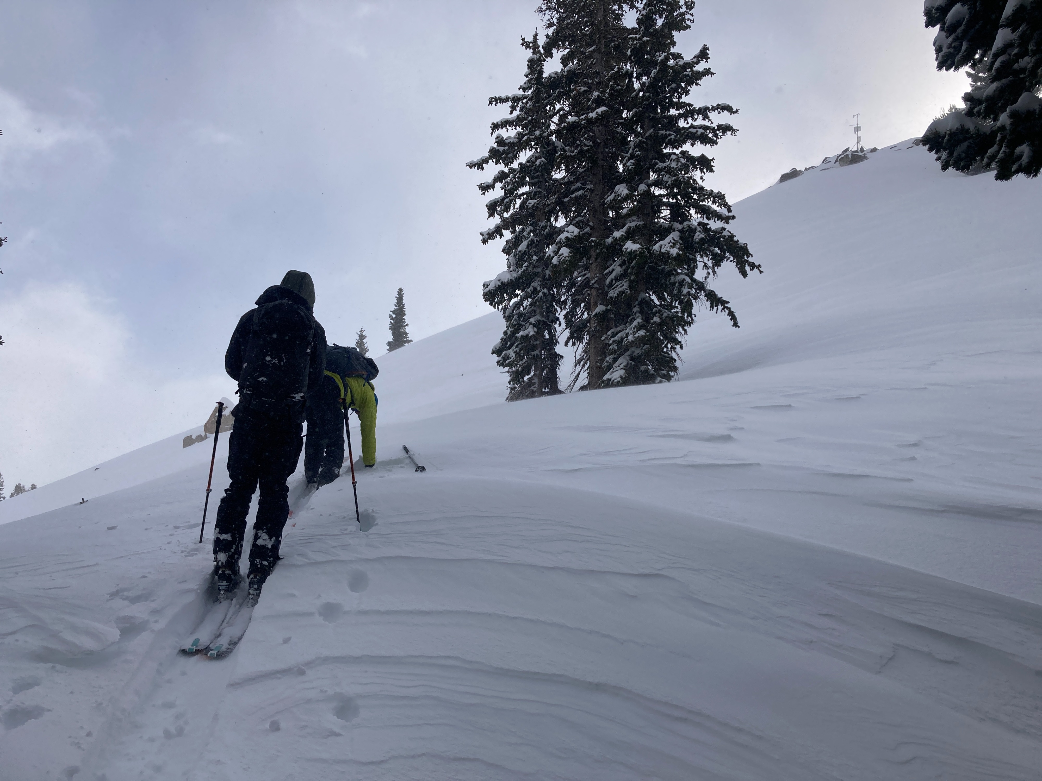
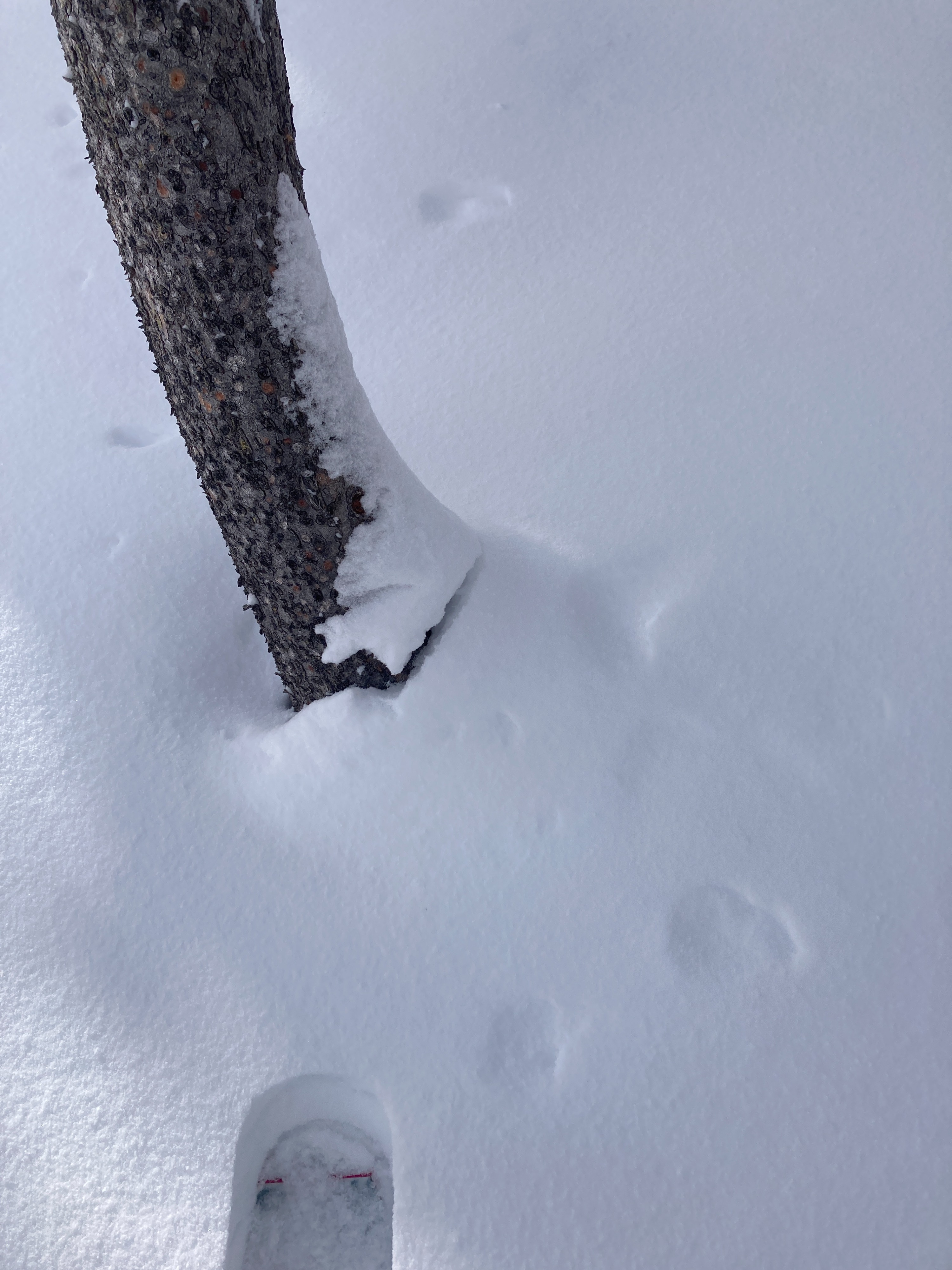
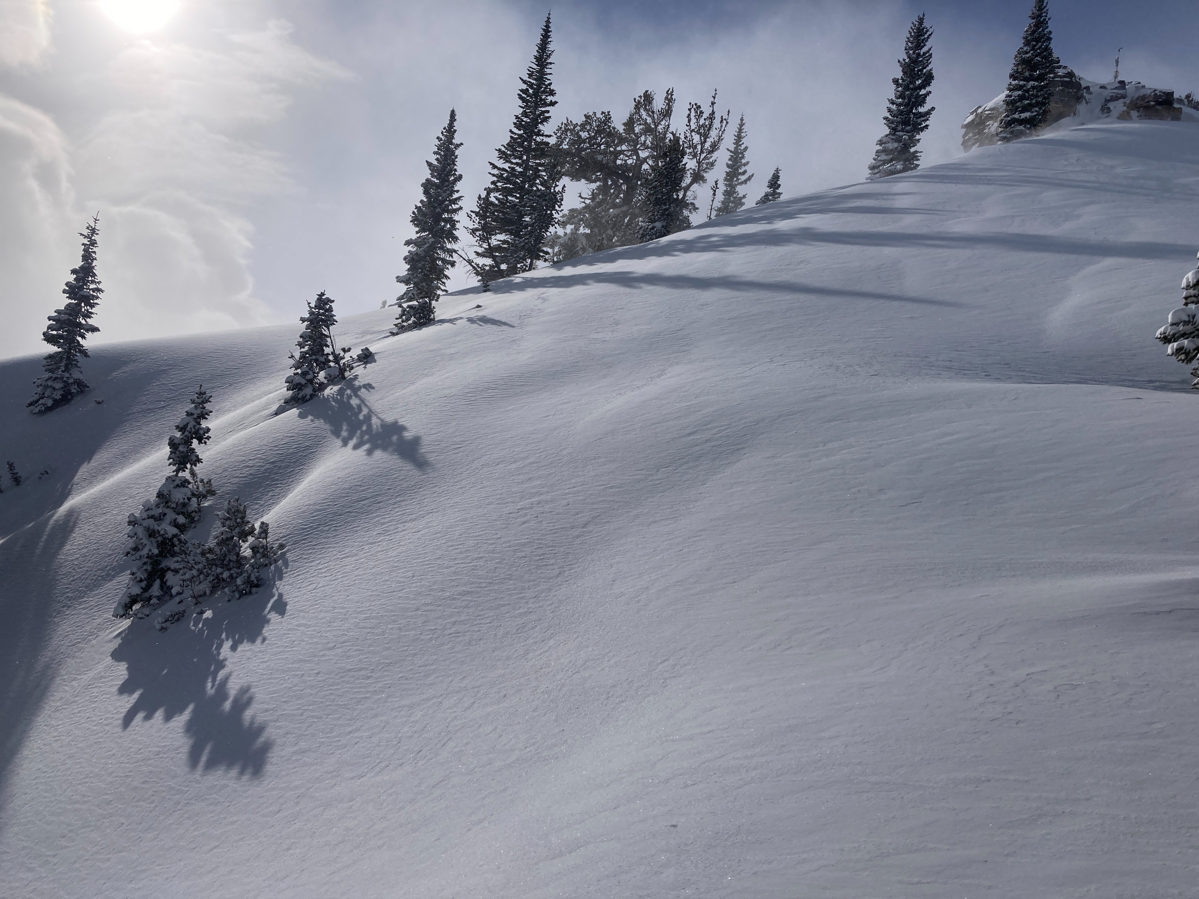
Toured to the weather station via Burnt Wagon. Lower elevation coverage is MUCH improved after this storm. Multiple large collapses were observed both on the way up and down between 7500 and 8000 feet. Of interest, we noted collapsing between 8000 and 8500' yesterday in adjacent terrain, SE through NE aspects. No collapsing or other obvious signs of instability were observed above 8,000'. Wind was transporting snow above 9,500' and forming some drifts, but we did not observe significant cracking or wind slab avalanches in the higher alpine terrain. For the most part, settled powder ruled the day, and skiing was excellent. Below 8000 feet, there is a temperature crust from the warm temps yesterday under 6-8 inches of lighter density snow that fell overnight.
At the weather station (9500'), the height of snow (HS) was 67 inches (170cm). The interval board had 43 inches of which 24 fell since the start of the recent storm beginning on 12/27. That top 24 inches contained 2.95 inches of water (SWE).
We dug on an ENE aspect at 9150 feet. Snow height was 73 inches (185 cm).
Results:
- ECTN4 down 25 cm on a mid storm layer
- ECTP8 down 60 at a density break that looked to be the new/old interface buried on 12/27. The hardness changed from fist plus(above fracture) to four finger (below fracture).
Our pit yesterday had almost identical results on the same layer (new/old interface). This will be a layer to track moving forward.
Collapsing was limited to below 8000 feet.
Weather
- Cloud Cover
- broken
Dynamic cloud cover throughout the day (50 to 80% coverage). Light snow on and off, heaviest early afternoon for about an hour. Gusty winds up at the weather station and light SW wind in the valley.