
Quick report
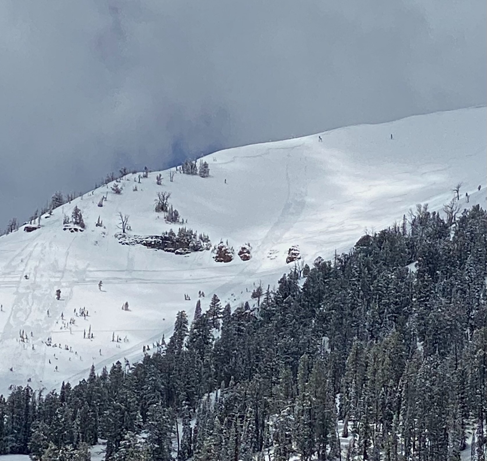
Surprising amount of new low density snow fell overnight. 4-6" around 8500' increasing to 8-10" at 10,000'. Recent snow in upper elevations is 12-16" deep. New snow sat on a thin melt freeze crust that developed yesterday on W-S-E aspects. Scattered to broken cloud cover enabled warming of snow surfaces on slopes facing the sun by noon. This rapidly altered new snow stability that sloughed easier on steep W-S-E aspects. Dry loose slough running on the crust traveled fairly quickly and far. Observed a decent skier triggered dry loose on Glory bowl driving out that ran from the lookers left ridge down to the gully. Roller balls and pinwheels began after noon. Not much wind affect observed with light westerly winds during the day 5-15 mph (and light southerly wind last night).
Biggest concern will be the new snow warming and destabilizing. Upper elevations hold enough recent snow to be a significant avalanche concern. Choose your terrain wisely as slight changes in weather can rapidly alter new snow stability. Clearer skies and warming temperatures tomorrow will increase dry or wet loose avalanche potential of recent snow depending on cloud cover and time of day.
Dry loose avalanche activity increased by noon with warming of new snow.