
Quick report
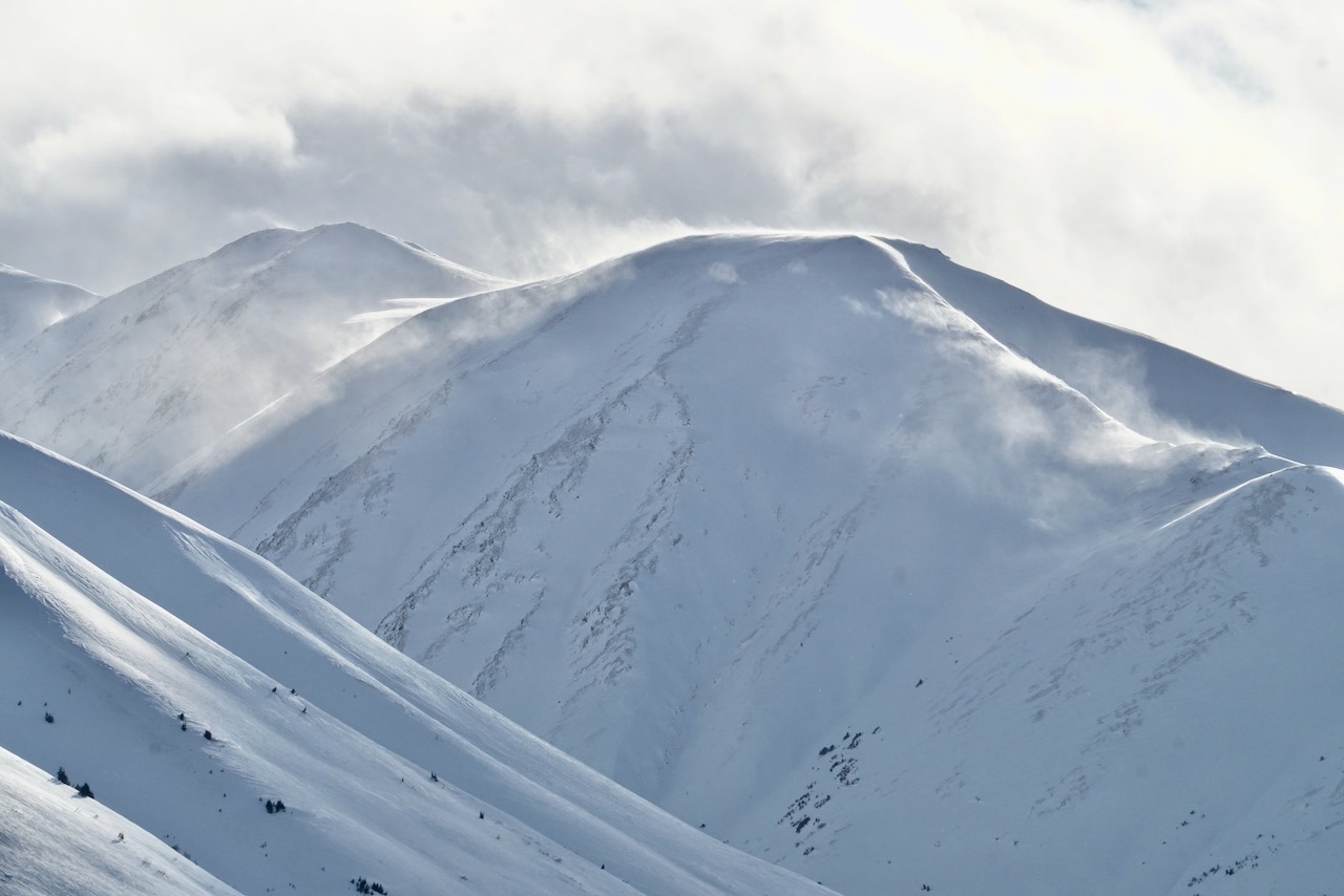
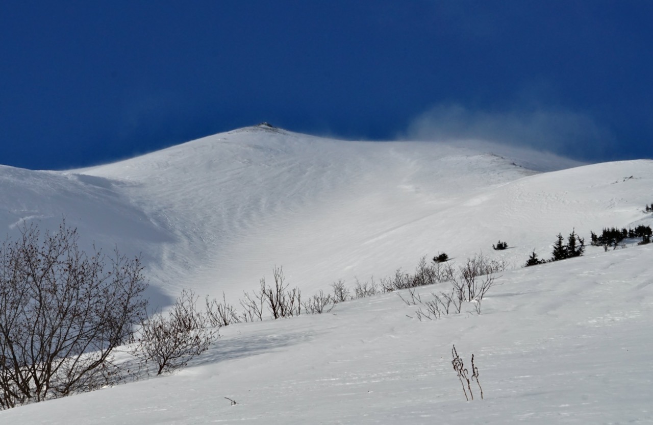
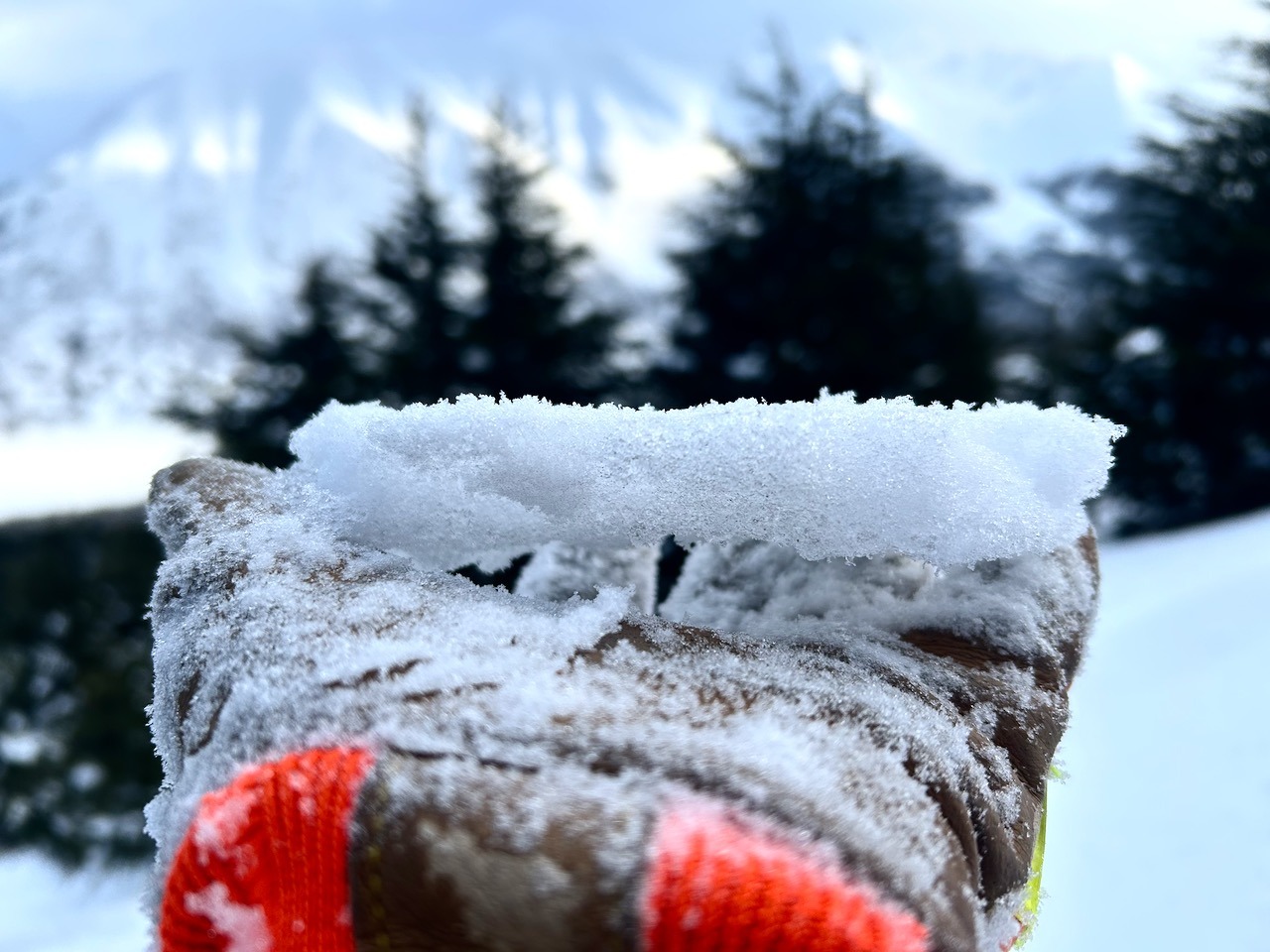
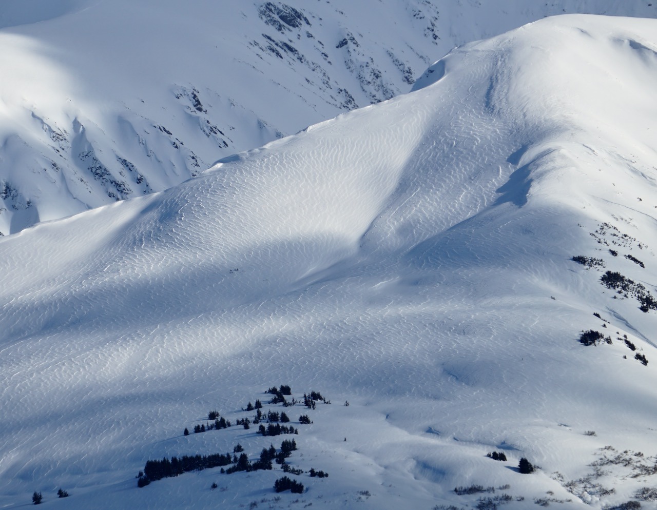
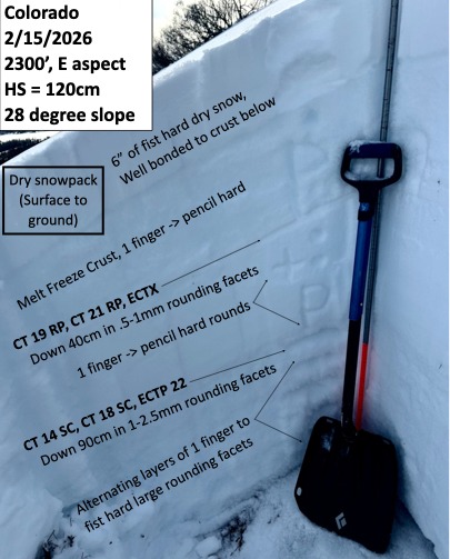
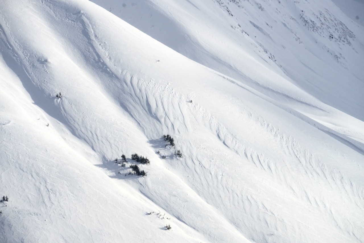
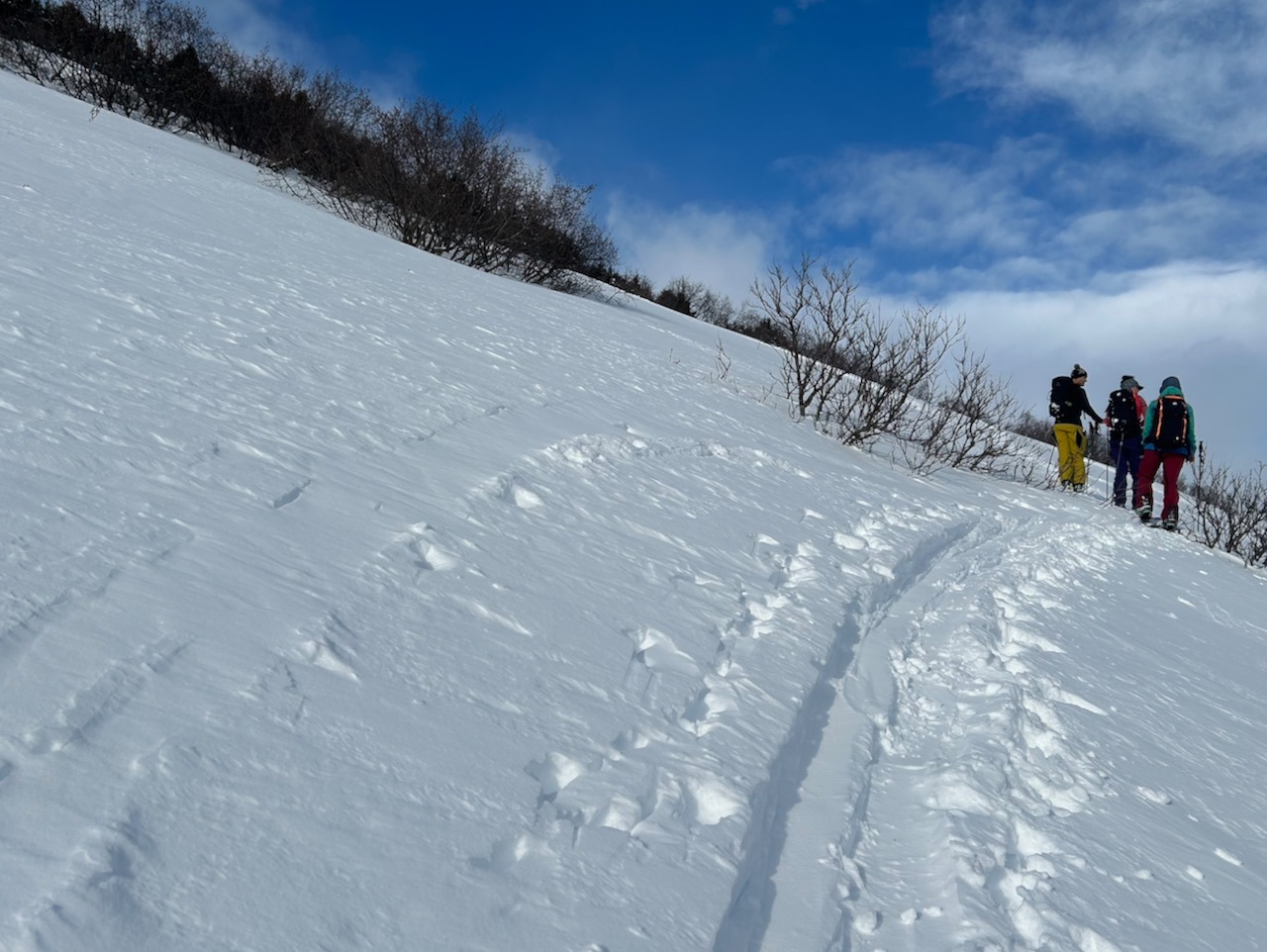
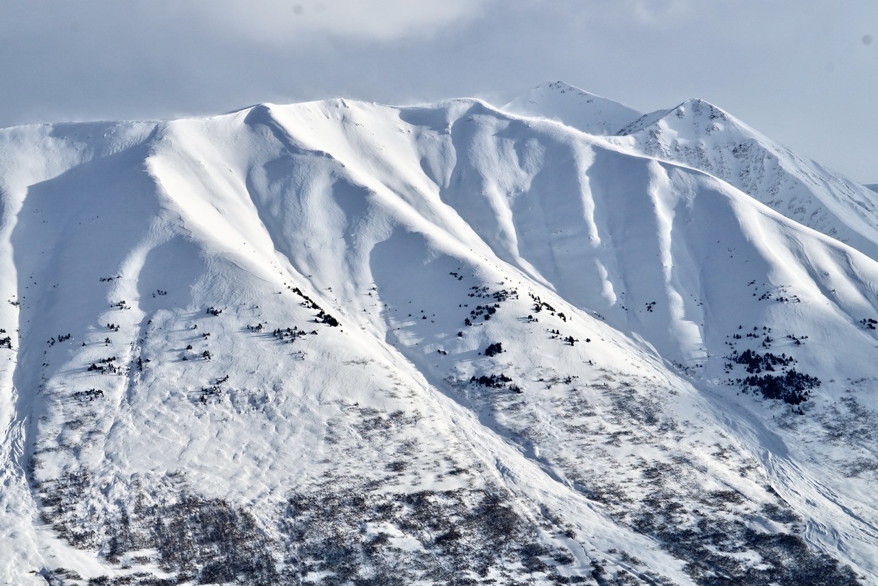
Route: Colorado up to 2700' on the generally west face. Red Flags/Signs of Instability: Moderate to intense snow transport above treeline throughout the day, from south/west winds (the direction being influenced by terrain). See photos below of impressive snow textures and pluming! Additionally, some shallow, small crowns from natural avalanches today may have been present near the ridgeline on NW aspect of Butch, but these fresher looking debris piles were small, and we may have been observing older, deeper crowns that were being filled back in by today's impressive wind transport. Weather: Broken skies, temps in the high 20s, and light winds from the southwest, gusting to a fairly steady moderate above 1500'. These winds were moving enough snow to fill in tracks on a SW aspect in about an hour, well below treeline. Snow Surface: 3-6" of soft snow over a crust - this crust was very stout to 2500', but rapidly decreased in thickness and strength to 2700' where it was only 1" thick and very fragile. From the 1600' - 2500' the snow surface was visibly wind affected but still very soft; above 2500' some areas of stiffer, fresh wind slabs had formed in the past day, but these were isolated in the tree protected areas we traveled through. Snowpack: See below for snow structure and test results from 2300' (HS=120cm) where the weakest layer of the December facets were down 90cm below a stiff layer of rounds and a thick, stout crust. At this elevation, the facets are showing some signs of rounding but are still very soft, producing unstable propagating test results. Probing and a quick dig at 2700' (HS=140cm) showed that the crust rapidly decreased in thickness and strength with just a little elevation gain, with the December facets still quite obvious with ski pole probing down 100cm.