
Quick report
- Cracking
- specific
- Collapsing
- specific
Our primary goal was to ground truth the snow and wind loading event that began Sunday evening and is forecast to last through Wednesday morning. We observed 5" of new snow at the parking lot and wind-drifted snow up to 3' deep at higher elevations.
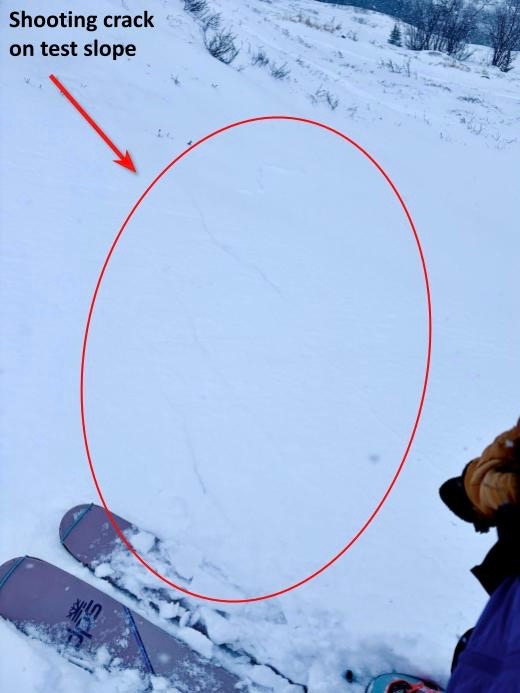
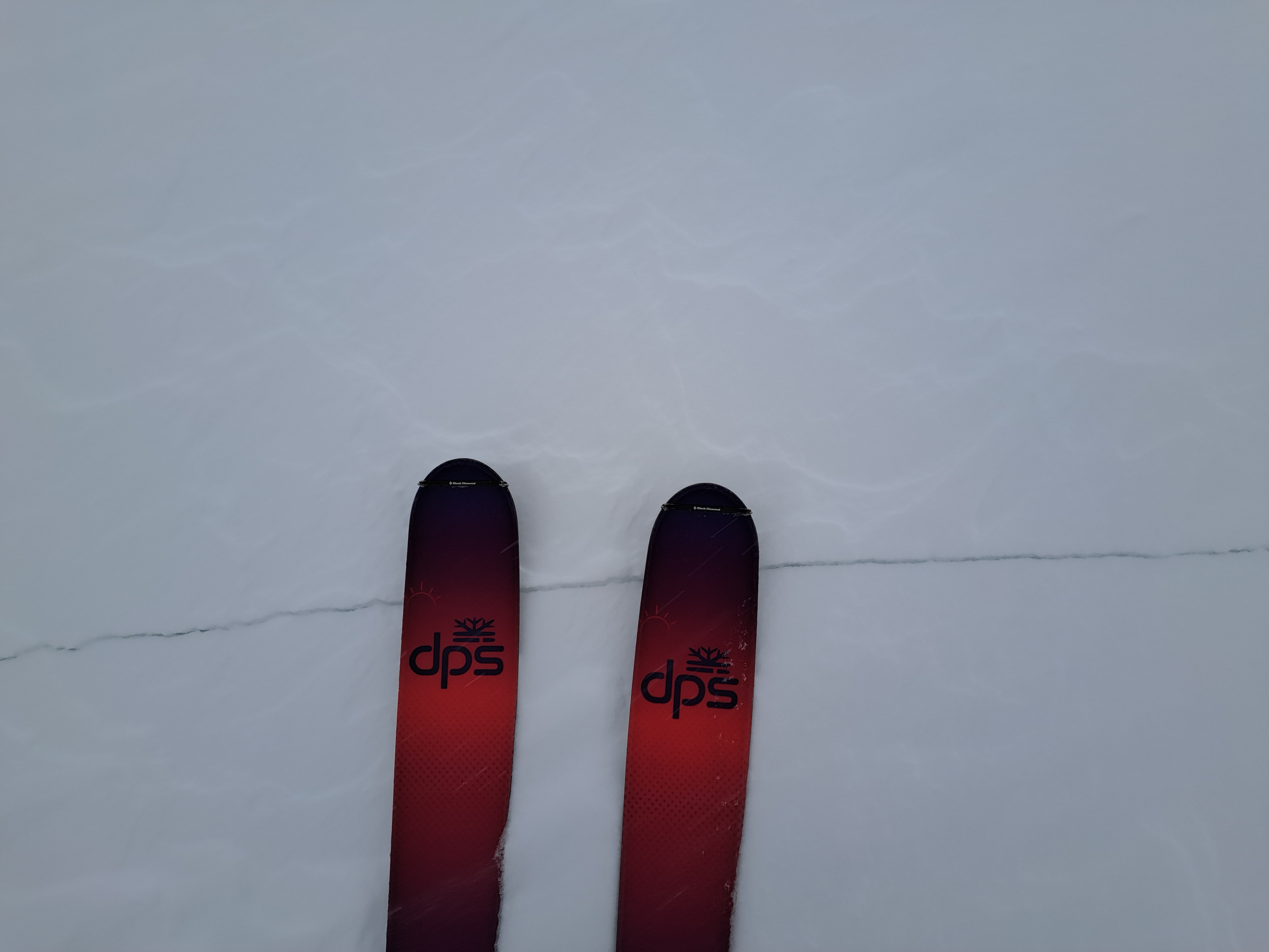
Signs of instability were widespread. We experienced multiple collapses and shooting cracks, many ranging from 5' to 30' long. We were also able to trigger shooting cracks up to 5' long from distances of up to 20' away.
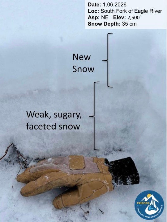
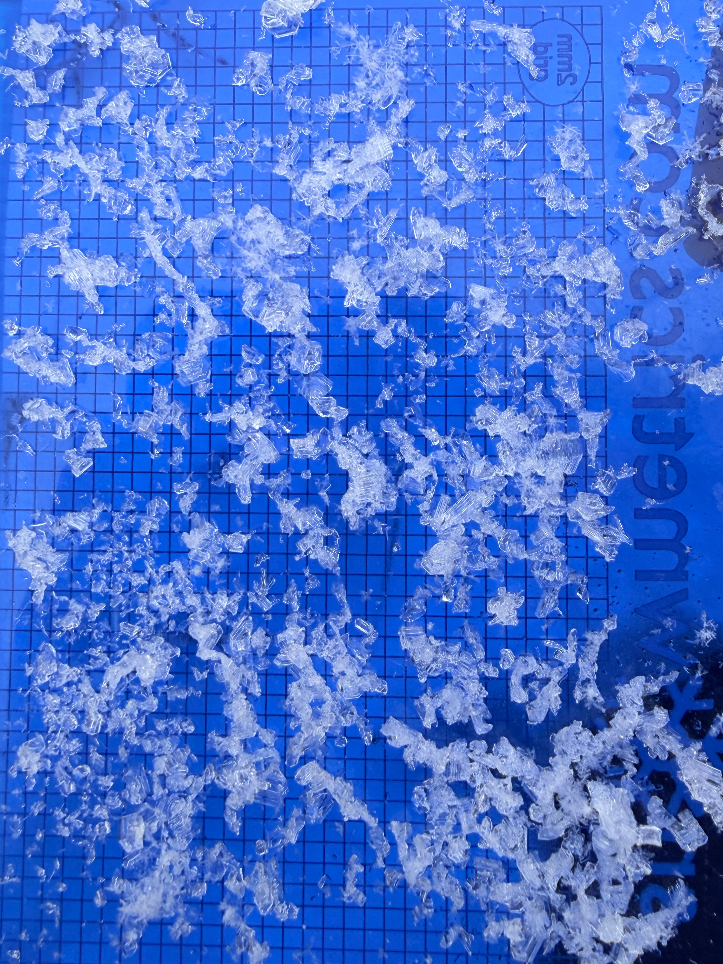
The old snow in the snowpack is not providing a strong base, with several layers of weak, faceted, sugary snow present. We observed well-developed 3–4 mm depth hoar at the base of the snowpack and 2–4 mm facets above the 11/29/25 melt-freeze crust. An avalanche that we triggered on a test slope failed on facets near the 11/29 melt-freeze crust.
Active wind transport and ongoing wind loading, combined with a small avalanche triggered on a test slope, long shooting cracks (20'–30'), and repeated whumpfing and collapsing, all indicated unstable conditions. Due to these red flags, we did not feel comfortable traveling in avalanche terrain and chose to remain in low-angle terrain.
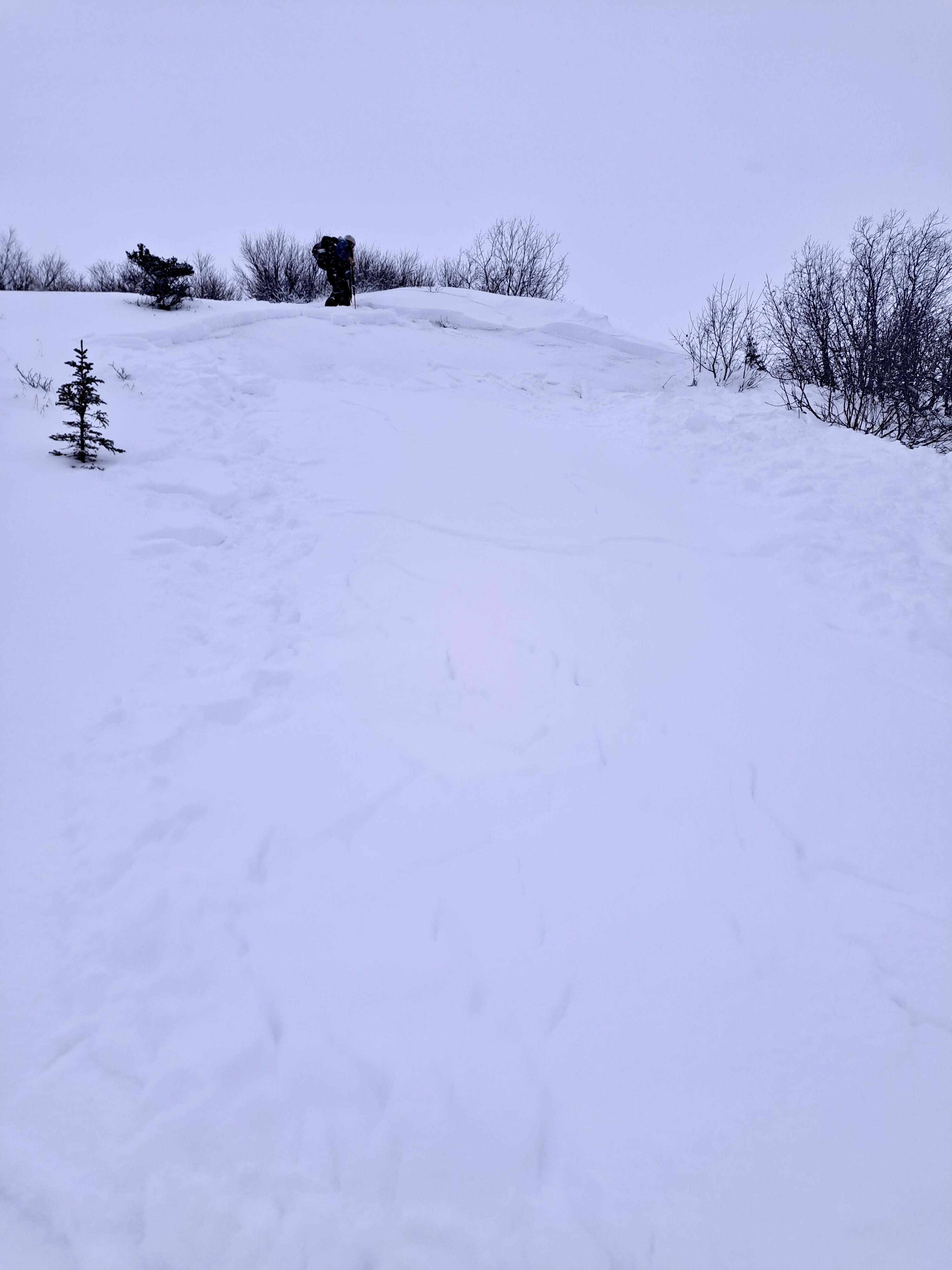
We had several 20'+ long shooting cracks, multiple collapses/whumpfing, and we were able to remotely trigger over 5' long shooting cracks roughly 20' away from where we were putting in a skin track. We were able to kick off a small avalanche on a test slope. The avalanche appeared to have failed on the layer of facets above the 11/29/25 melt-freeze crust.
Weather
- Air Temp
- 18
- Cloud Cover
- overcast
- Wind Loading
- moderate
- Rain Elevation
- Not observed
- Recent Snowfall
- 12
- Snow Avail For Transport
- large amounts
Overcast skies, steady snowfall, and moderate winds from the SE above treeline