
Quick report
- Cracking
- isolated
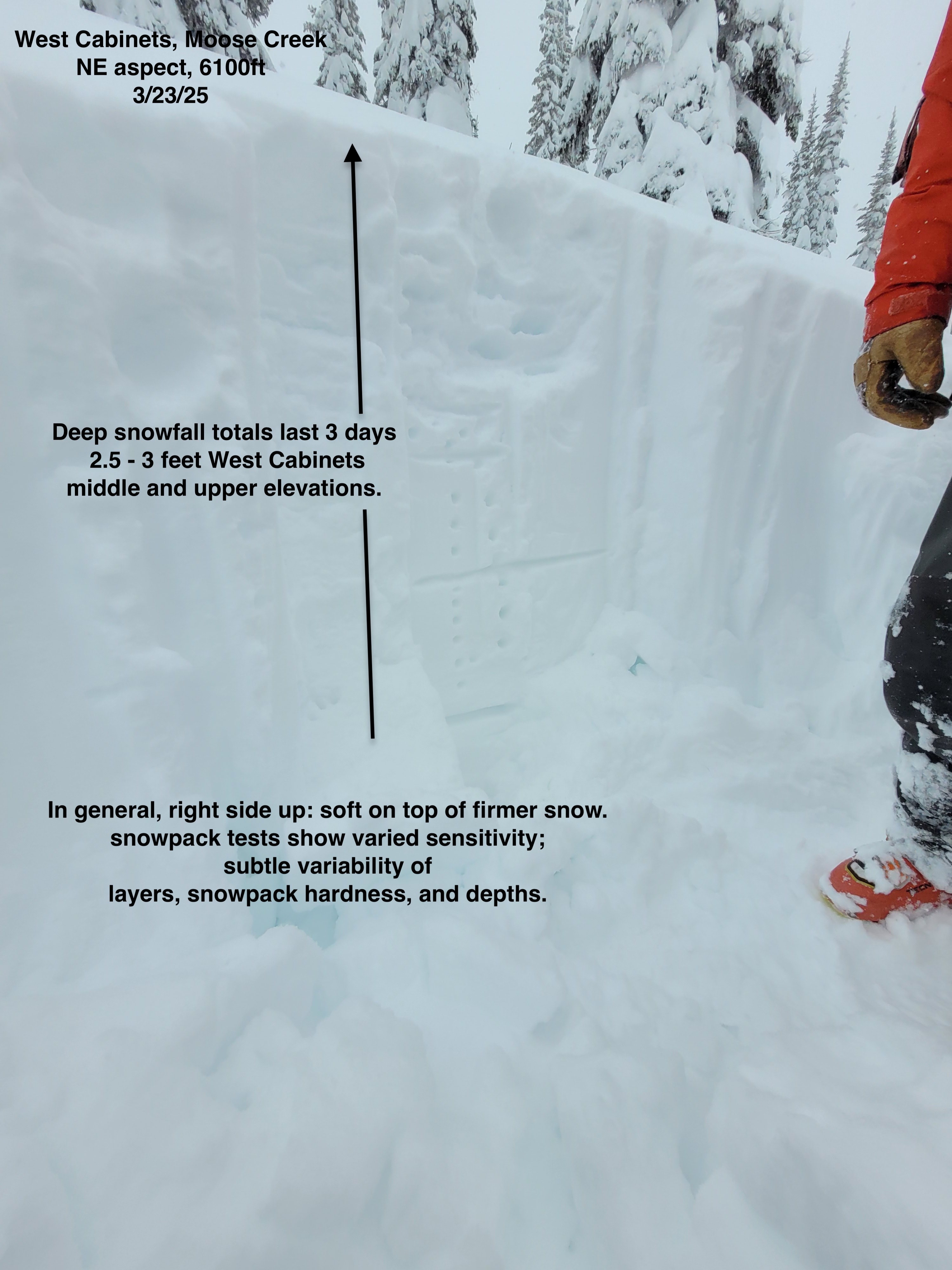
Large amounts of new snow over the last 3 days have piled up over older previous interfaces while also forming newer layers within the storm snow. Varying snowpack layers currently show varied sensitivity; subtle spatial variability in interfaces, snowpack hardness and depths. Storm slab interfaces will gain strength given time and mild weather. While giving the snowpack time to adjust, a simple approach is to remain cautious in the terrain and slopes you ride on. Forecasted warm-up of mountain temperatures with rain may create changing snowpack instabilities.
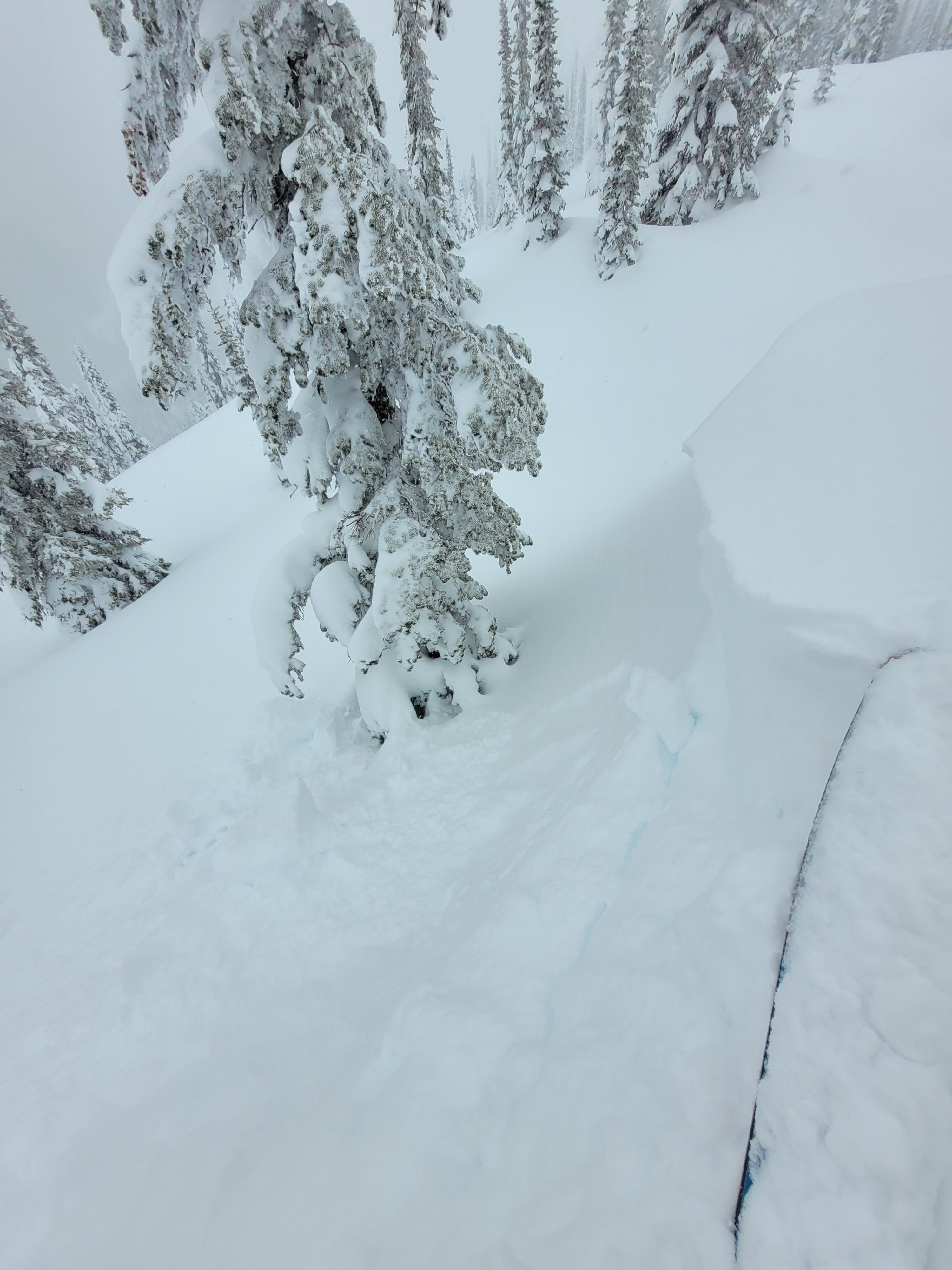
Isolated cracking and small dry loose slides with ski pressure. We didn't see any natural avalanches but visibility was poor.Weather
- Cloud Cover
- overcast
- Wind Loading
- light
- Rain Elevation
- 4000 at 4pm
- Recent Snowfall
- 30
- Snow Avail For Transport
- moderate amounts
Steady (S2) snowfall during the day. 7cm (almost 3in) new snow in 3 hours during midday. Light southwest ridgetop winds transporting small amounts of snow onto northerly aspects. Rain line near 4000 ft at 4pm. Limited visibility, we could not see across neighboring slopes.
Snowpack
Deep snow totals over the last few days have piled up to around 2.5 - 3 feet in the West Cabinets at middle and upper elevations. In general, the top 100cm (~3ft) of recent storm snow is right side up - soft snow over firmer snow. Slight snow hardness subtleties mixed in with various storm interfaces show varied test results. We conducted two column tests on a NE aspect at 6100 ft observing a range of test character results, (down from the surface: 2x CT5 PC down 13cm, CT10 SP down 23cm, CT11 BRK down 35 and CT28 SC down 110cm (likely 3/20 HST interface). Deeper in the snowpack, by use of a probe, we infer the 3/9 crust is down 180cm at this location.