
Quick report
- Cracking
- widespread
- Collapsing
- isolated
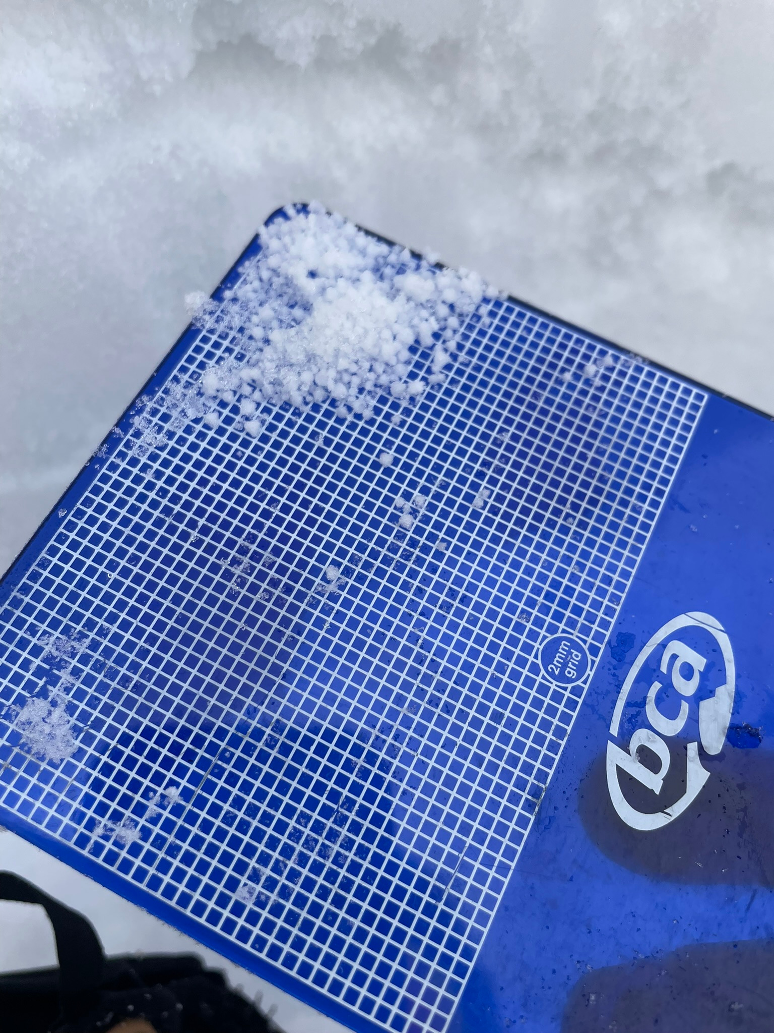
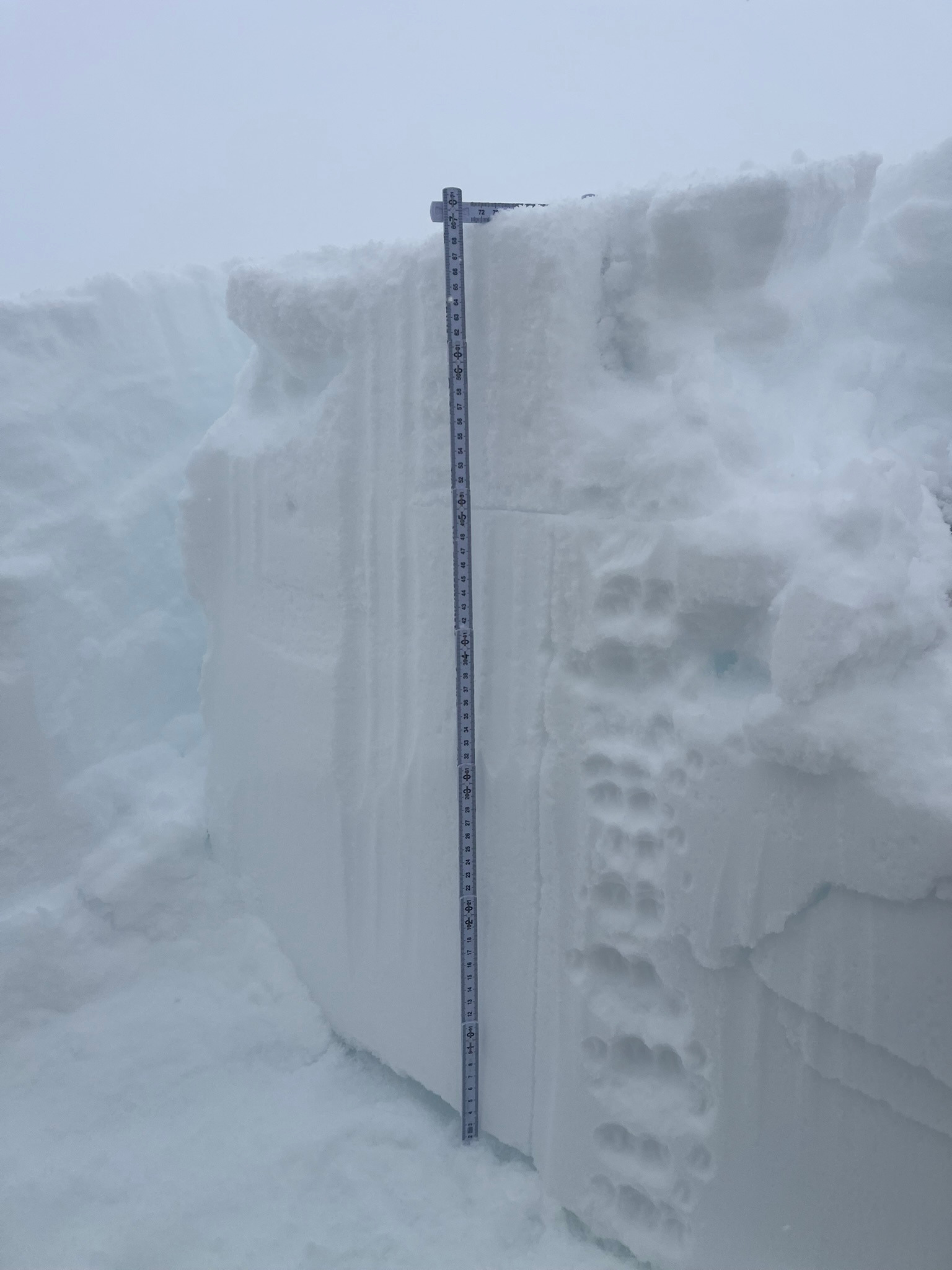
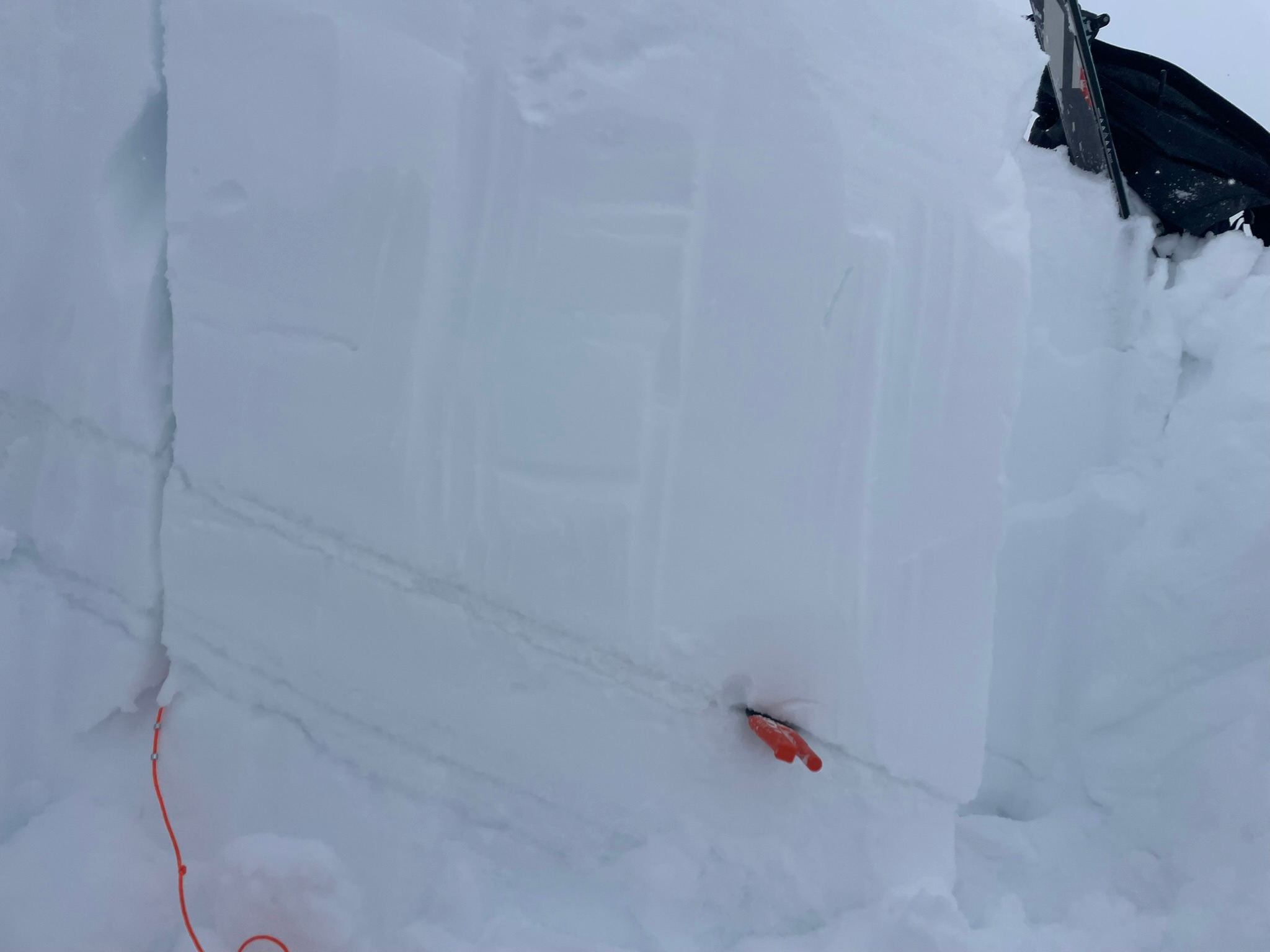
A return to Gray Butte today revealed changing snow conditions as additional snowfall continues to load an already stressed snowpack. We found that today's colder, lighter snow was weakly bonded to the warmer, denser snow from previous days. This presented as cracking, collapsing, and avalanches up to 30 centimeters deep. Further down in the snowpack, we continued our investigation of the lingering weak layer of graupel about 80 centimeters down from the surface. At approximately three-centimeters thick, this layer continues to be concerning as it moderately sensitive to additional loading in snowpack stability tests. The distribution of this layer of graupel is fairly widespread and you should expect to find it on all elevations and aspects. With additional loading to come over the next few days, we encourage folks to give this layer time to heal, as it could produce a very large avalanche.
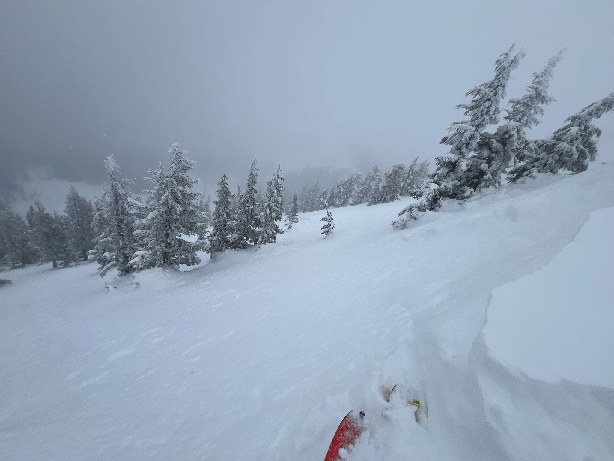
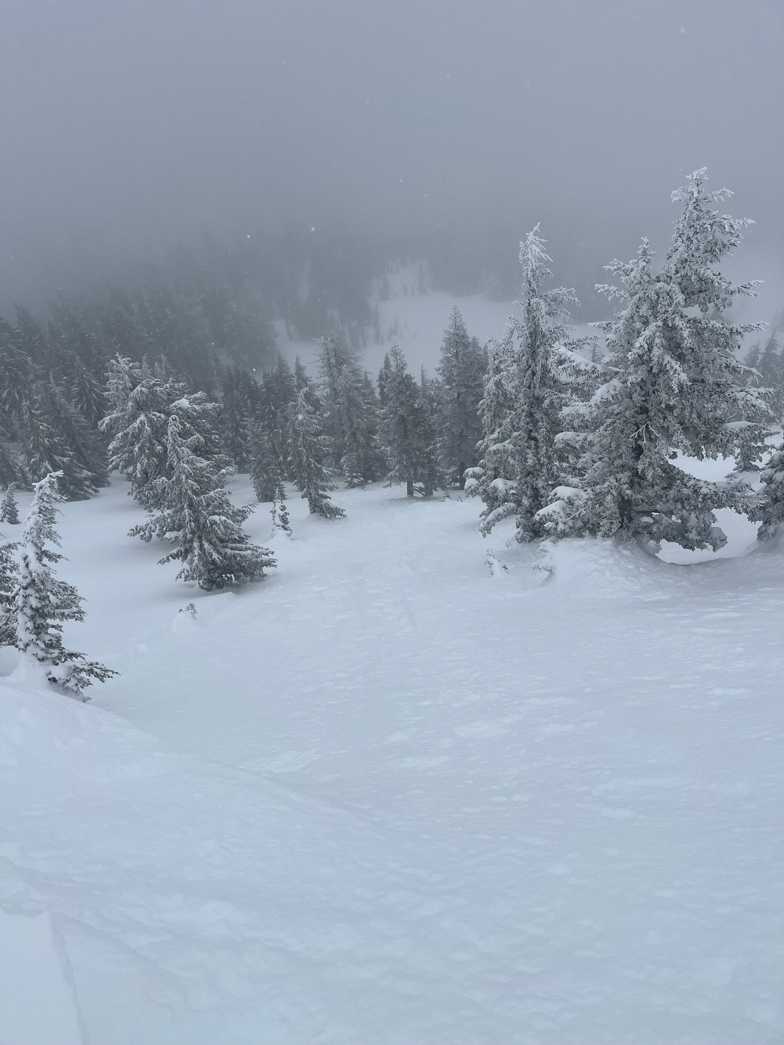
Easily triggered small, D1, dry loose avalanches on west and northwest aspects below and near the treeline. A skier initiated cornice collapse that triggered a D1.5 wind slab avalanche on an east-facing slope near 8,000 feet. Both avalanches occurred within the new snow received in the past 24 hours, an average of 20 centimeters down from the surface. We observed cracking on all aspects, though most prominently on leeward terrain features facing northeast, east, and southeast. While gaining the saddle of Gray Butte between the weather station and the high point, we heard one isolated collapse.Weather
- Air Temp
- 15-20
- Cloud Cover
- obscured
- Wind Loading
- light
- Rain Elevation
- 3,000
- Recent Snowfall
- 20
- Snow Avail For Transport
- large amounts
Active snowfall and graupel obscured skies falling at a rate of half to one inch per hour. West, southwest wind blew light to moderate with occasional strong gusts on ridgelines near 8,000 feet. There is about 20 centimeters of new snow in the past 24 hours with roughly 80 centimeters since Wednesday.
Snowpack
We performed multiple snowpack tests and found the new snow from the past 24 hours to be easily reactive, though lacking crack propagation on both northwest and southeast aspects. On northwest aspects, we found the weak layer of graupel to be moderately reactive and the crack is still propagating across the column. This means that this three-centimeter deep layer of graupel, approximately 80 centimeters below the surface at this location, has not yet healed to the surrounding snowpack and thus remains unstable enough to produce a large to very large avalanche. See snowpack results and information below.
- Northwest aspect at7,800 feet: ECTP 22 and PST 25/100 failing on graupel layer 80 centimeters down.
- Southeast aspect at 8,000 feet. ECTN 13 20 centimeters down.