
Catherine creek
Quick report
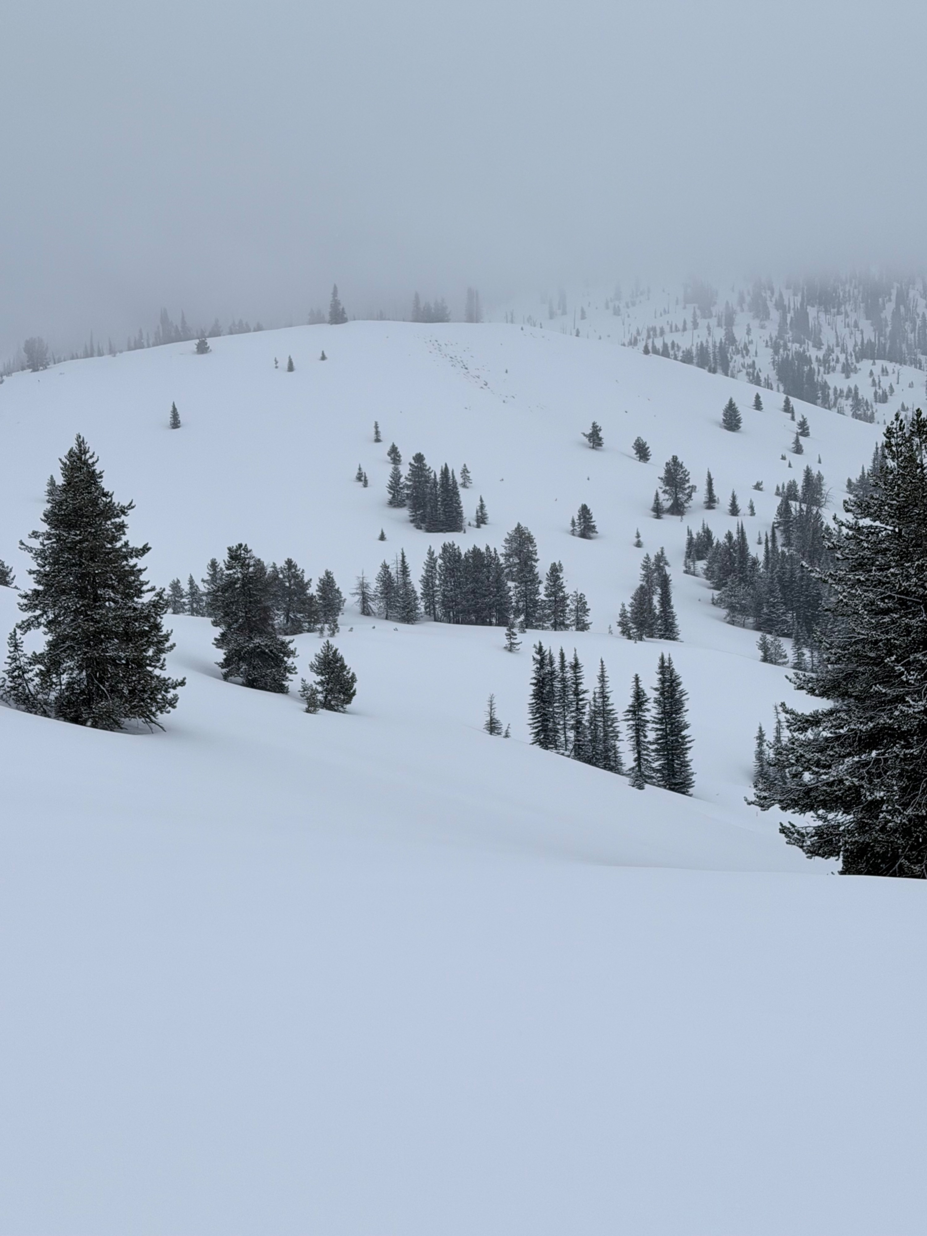
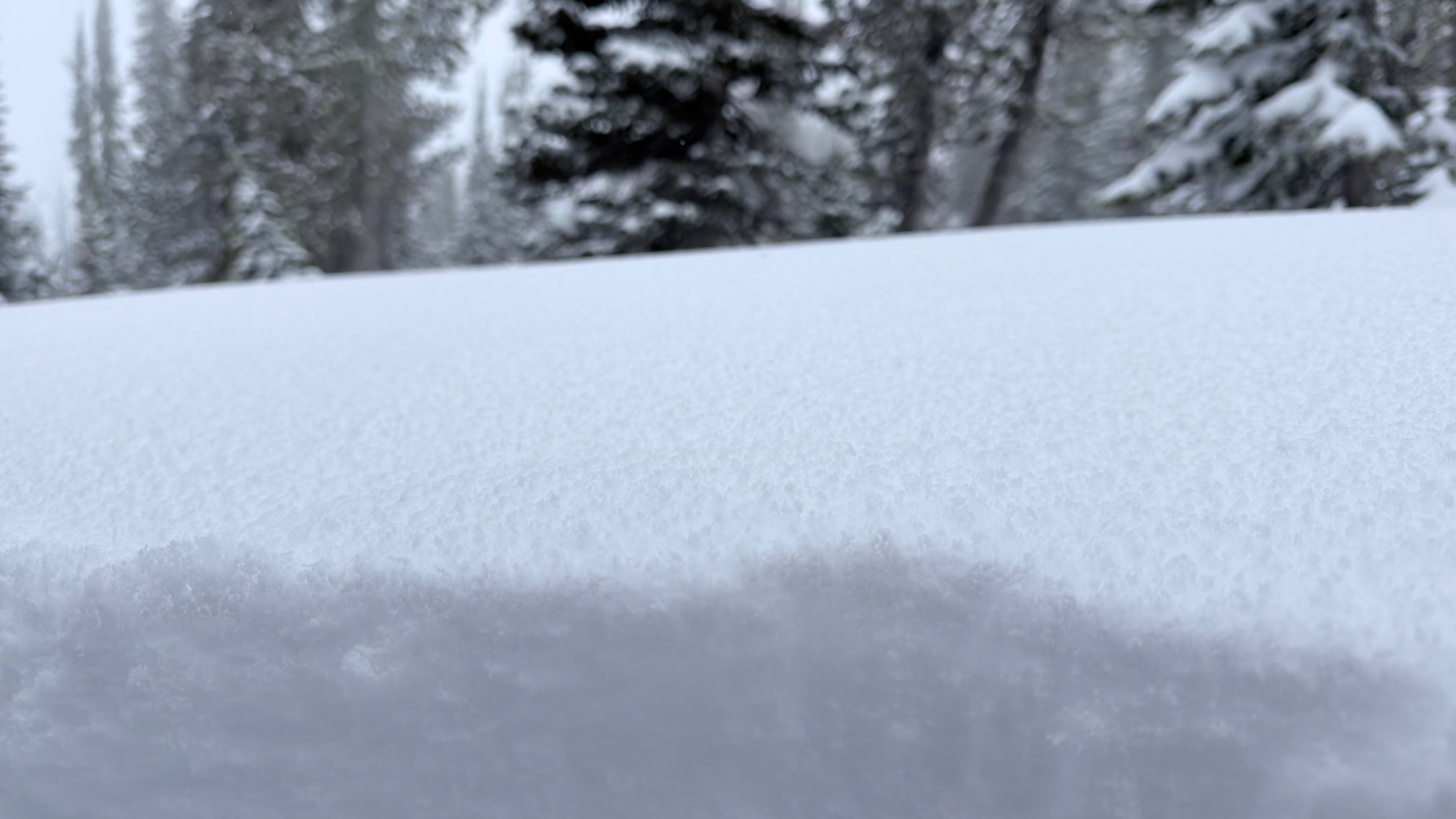
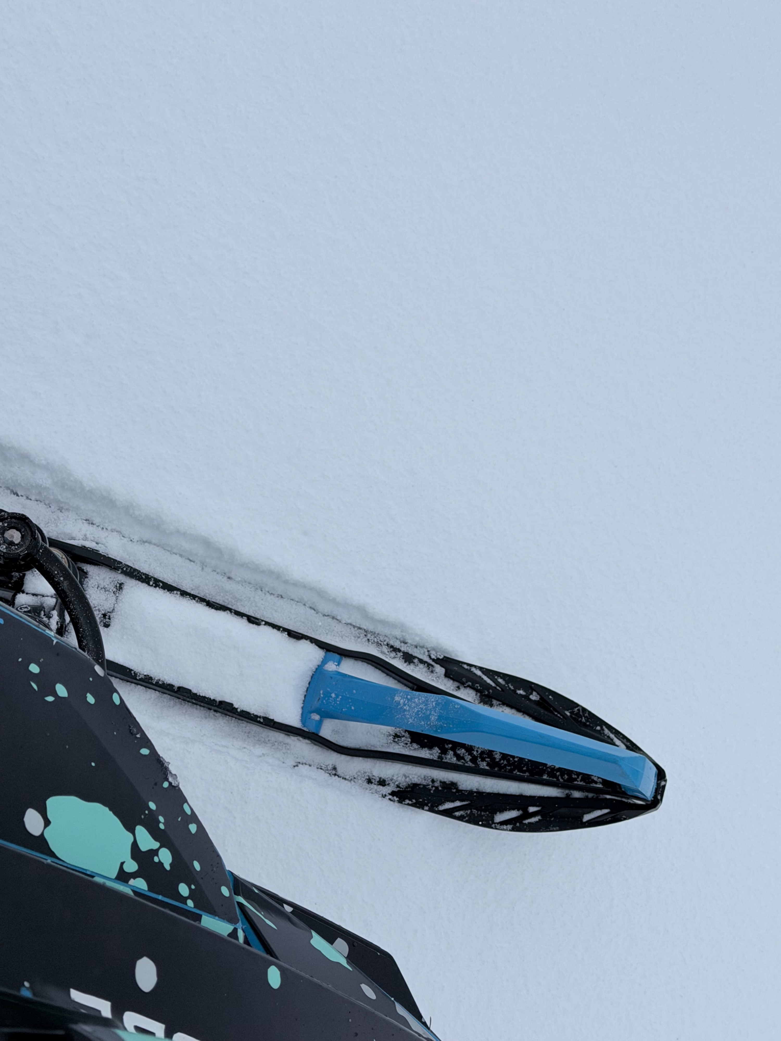
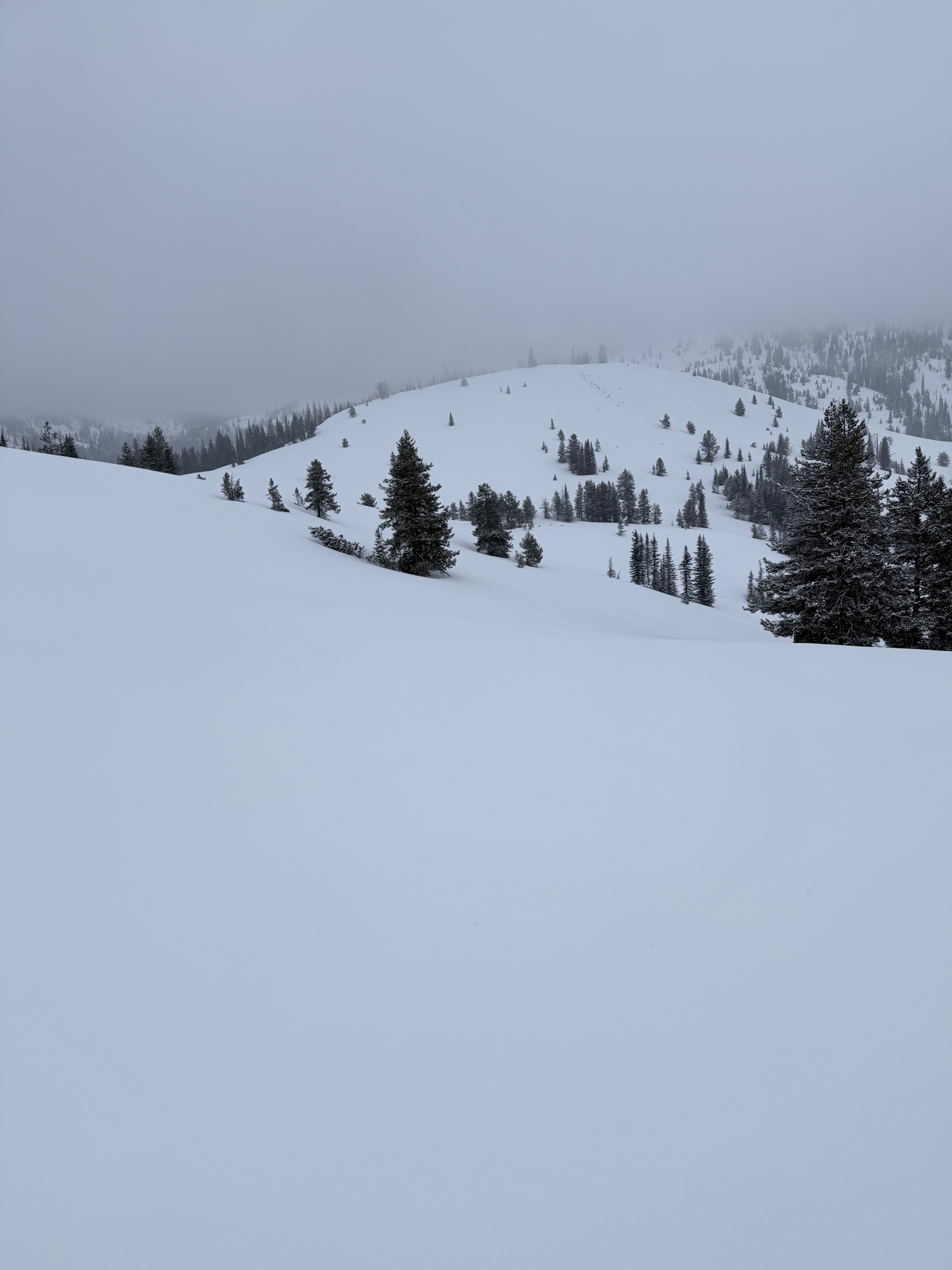
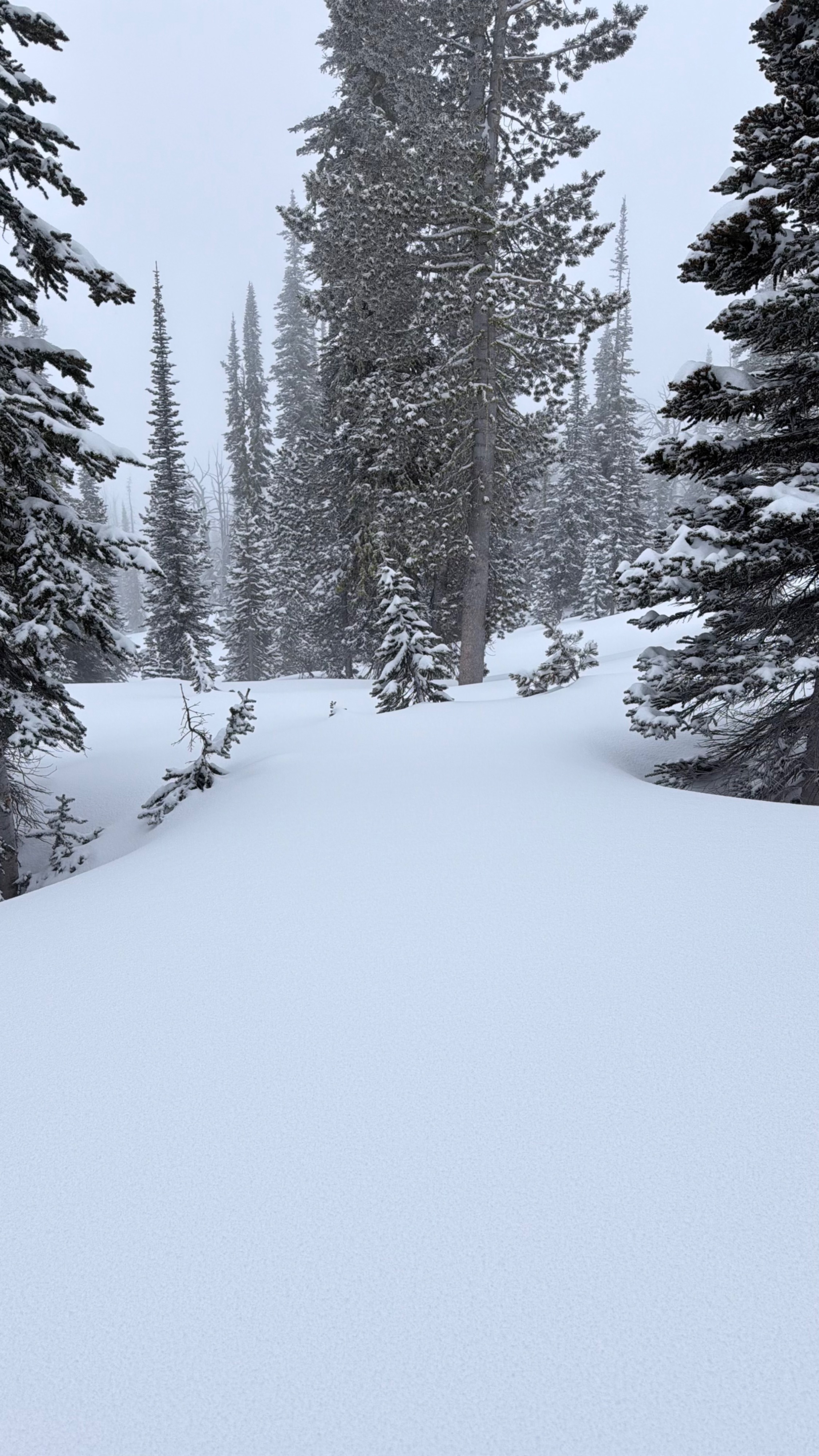
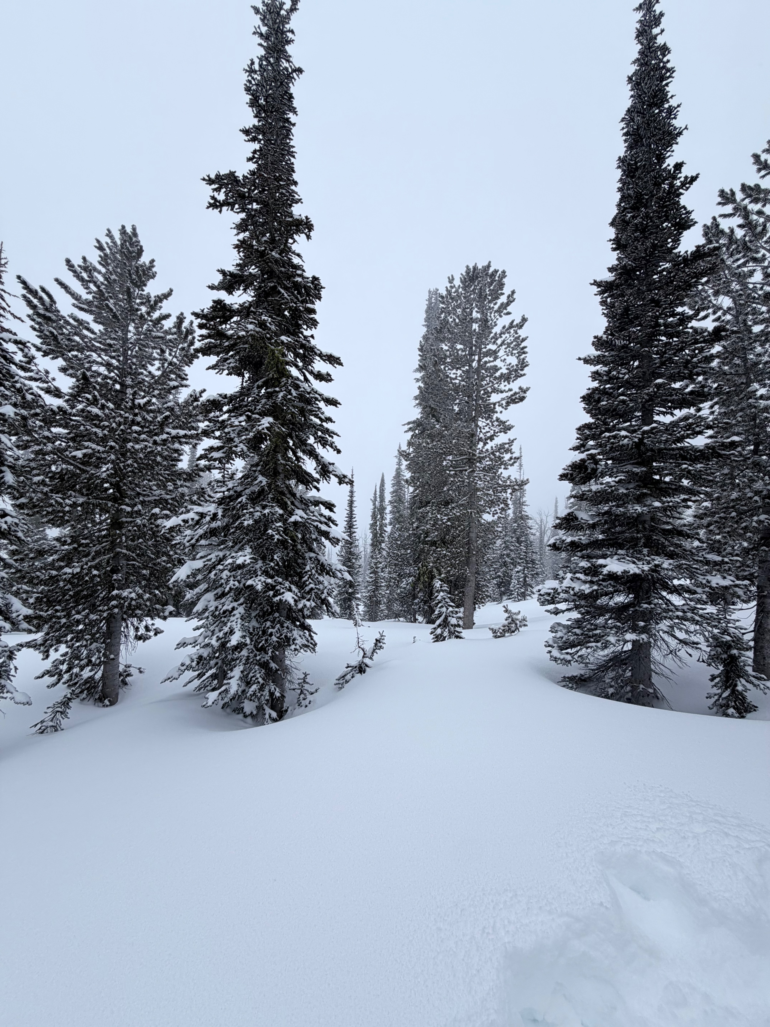
Location: 77 Road → Flagstaff → Trout Creek → toward Wilderness Boundary Elevation Range: Approximately 5,000–7,000+ ft Date: March 11, 2026 Travel Route: Traveled from approximately 5 miles up the 77 Road to Flagstaff. Continued from Flagstaff to Trout Creek and then further toward the wilderness boundary. Snowpack & Surface Conditions: Snow conditions improved as elevation increased; however, overall coverage remains a concern. Bare and thinly covered areas were encountered even near 7,000 ft. Estimated snow depth in most areas ranged from 4–5 feet, with variable conditions due to recent snowfall. Pockets of up to 10 inches of new snow were observed in some locations. A prominent ice layer is present throughout the snowpack and was noticeable at all elevations. Avalanche Activity: No recent avalanche activity was observed.