
Quick report
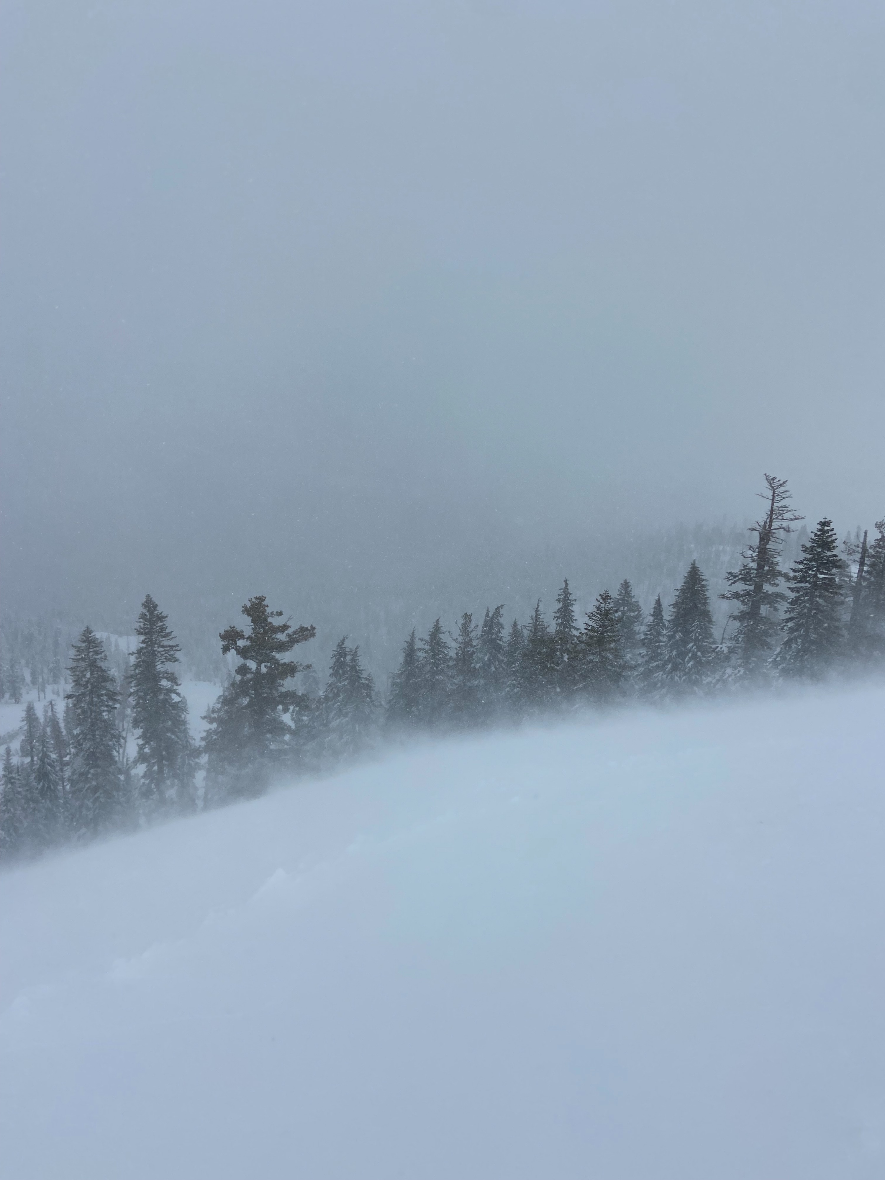
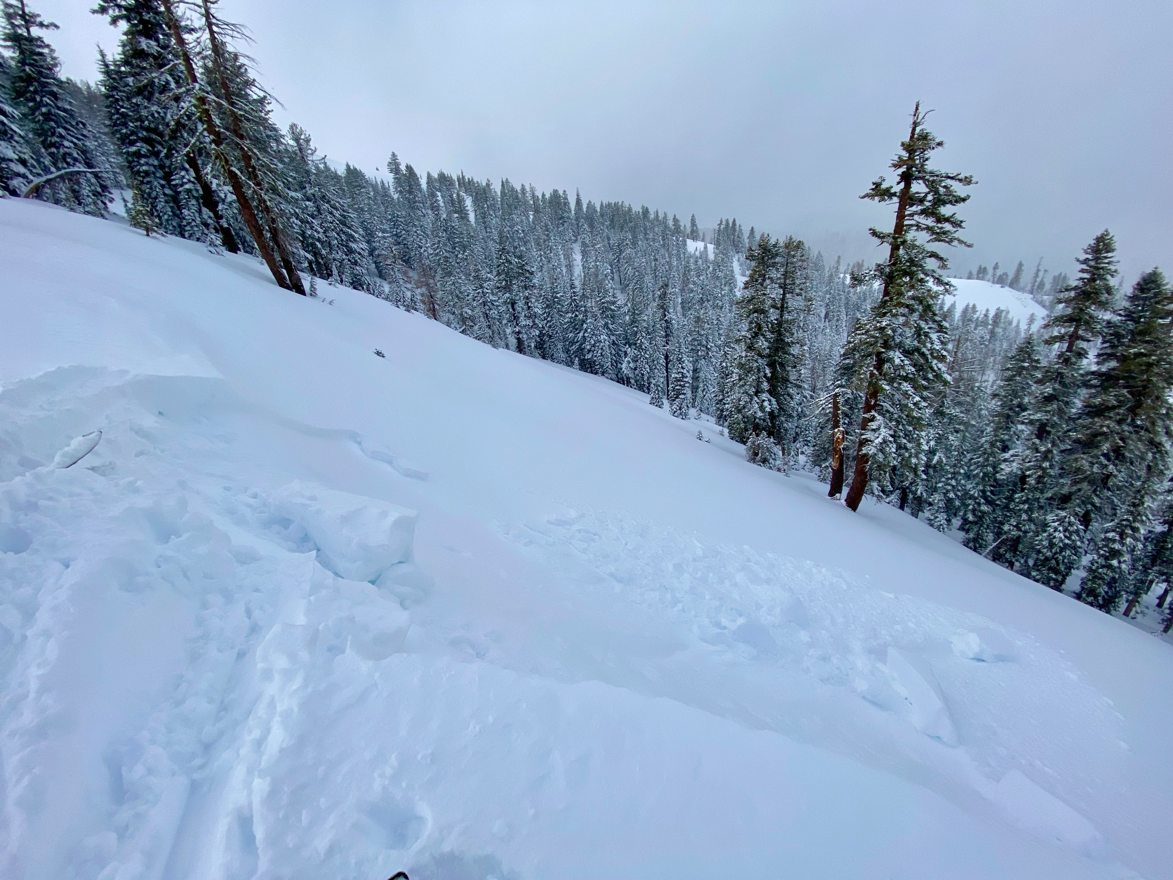
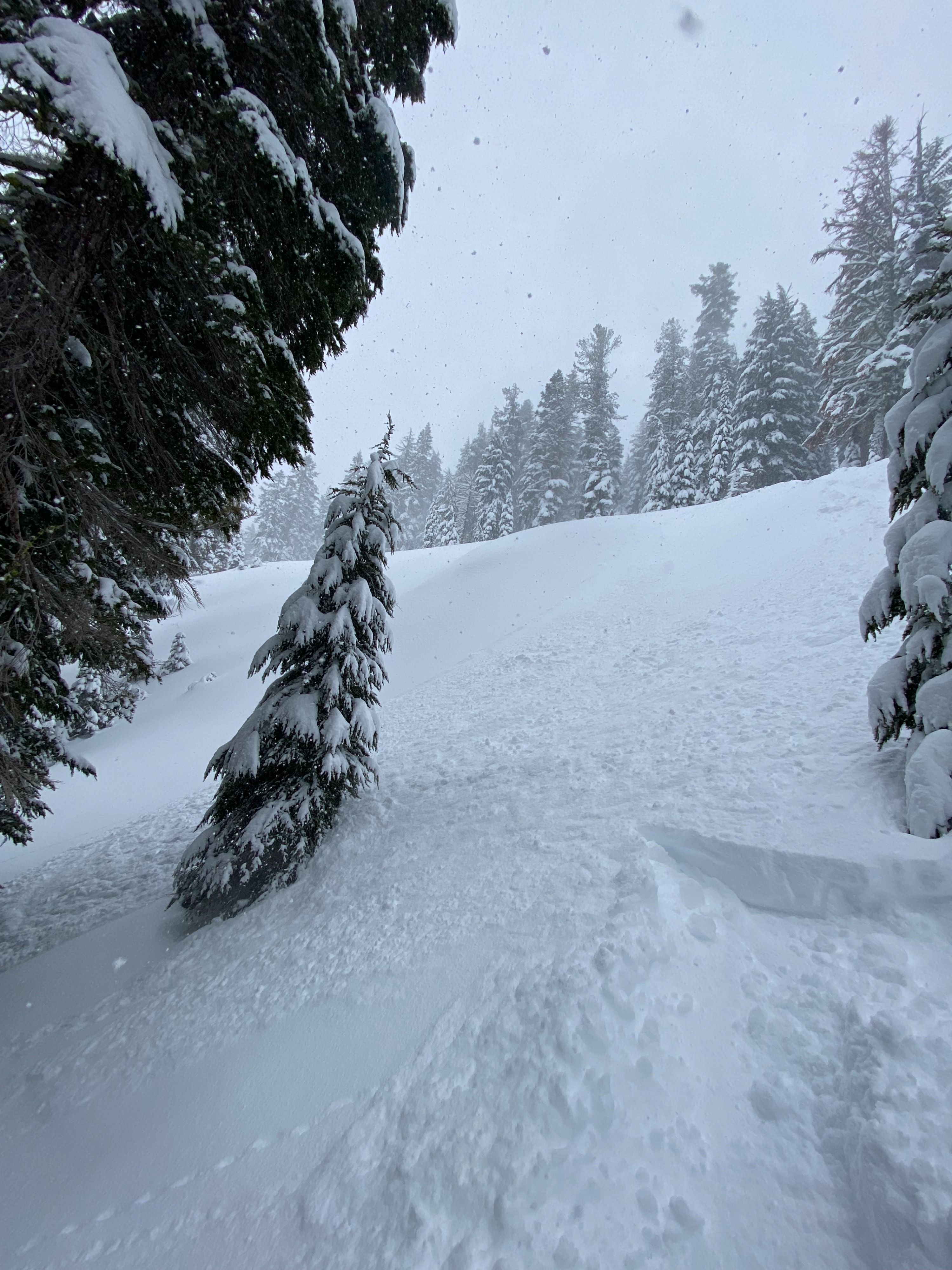
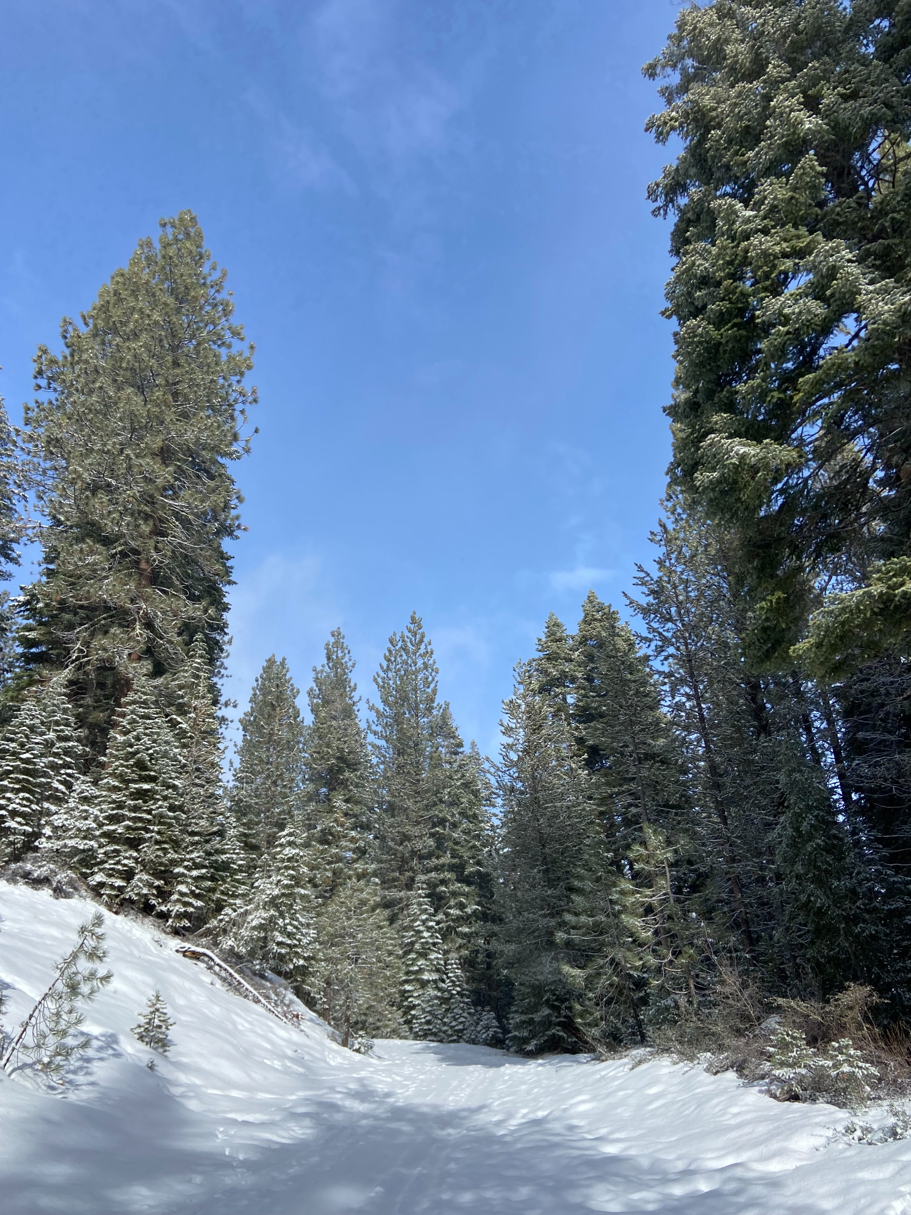
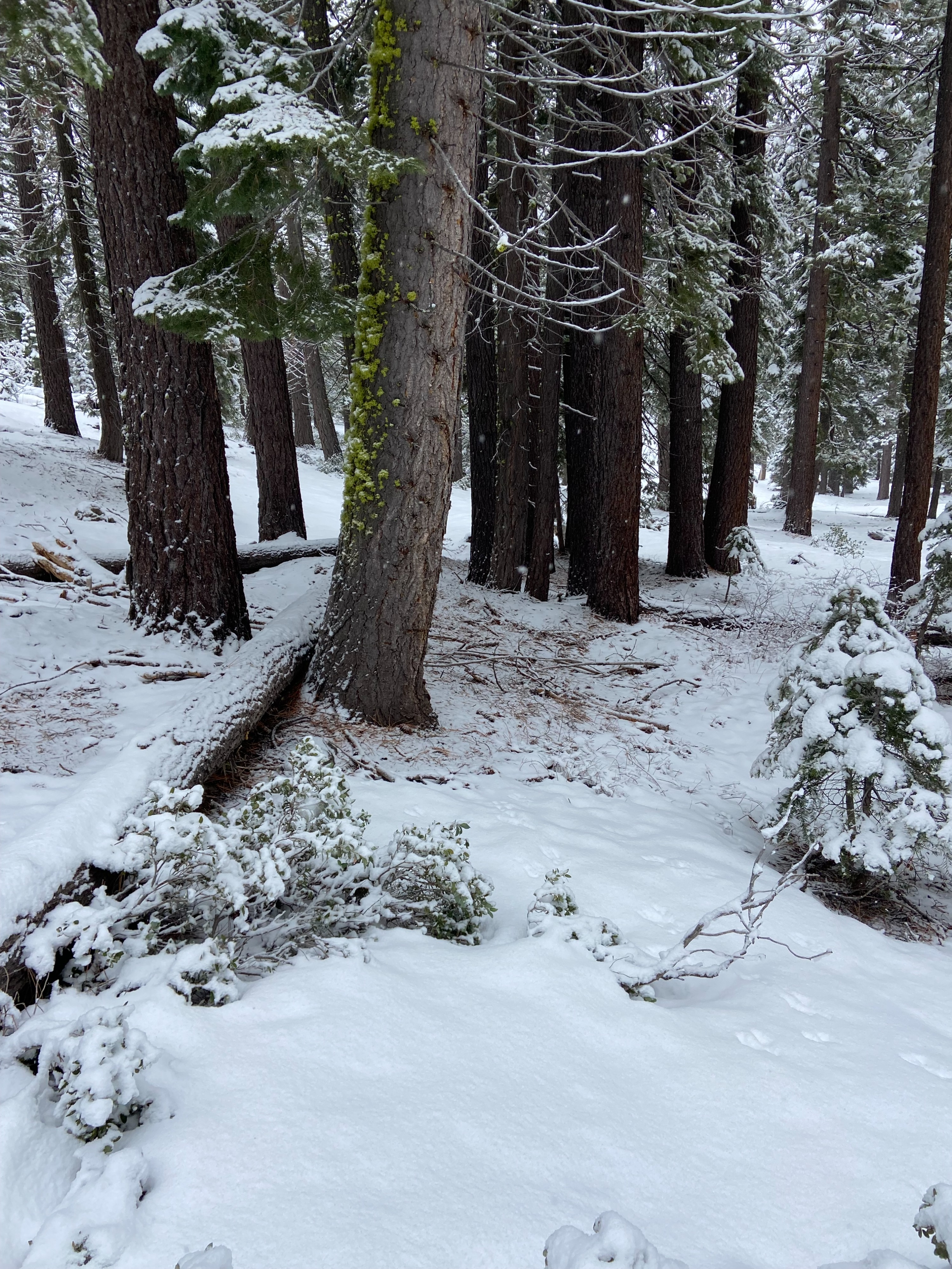
Minimal snowpack instabilities observed throughout our tour. At the trailhead and up to ~7,000' there was ~3" of new snow with generally poor coverage. As we gained elevation snowpack and recent storm snow both increased. Storm snow topped out at 10" around 8,000". Wind slab development was less than anticipated at Silver Peak with winds underperforming forecasted strengths. We did observe snow transport, small cornice formation and wind loading but conditions weren't creating significant avalanche problems. We were able to produce cracking and one small wind slab failure on a test slope. Wind slab depth was sub 6" and extended less than 15' below the ridge. Recent storm snow is low density and showed no slab formation and is relatively well bonded to the supportable crust it rests upon. N, NE aspects held cold unconsolidated snow. During our decent we were able to produce a small dry loose sluff on a convexity test slope in below treeline terrain on a N aspect. Minimal signs of consequential instability.
Weather
- Air Temp
- Below freezing
- Cloud Cover
- obscured
- Wind Loading
- light
- Rain Elevation
- NA
- Recent Snowfall
- 20-25
- Snow Avail For Transport
- moderate amounts
Our tour began around 9:30 with broken skies offering periodic blue sky and intermittent snow showers. Snow fall intensity generally increased throughout the day with snow fall rates averaging around .50" an hour. SW winds were lighter than predicted, with peak gusts in the 30+mph range.
Snowpack
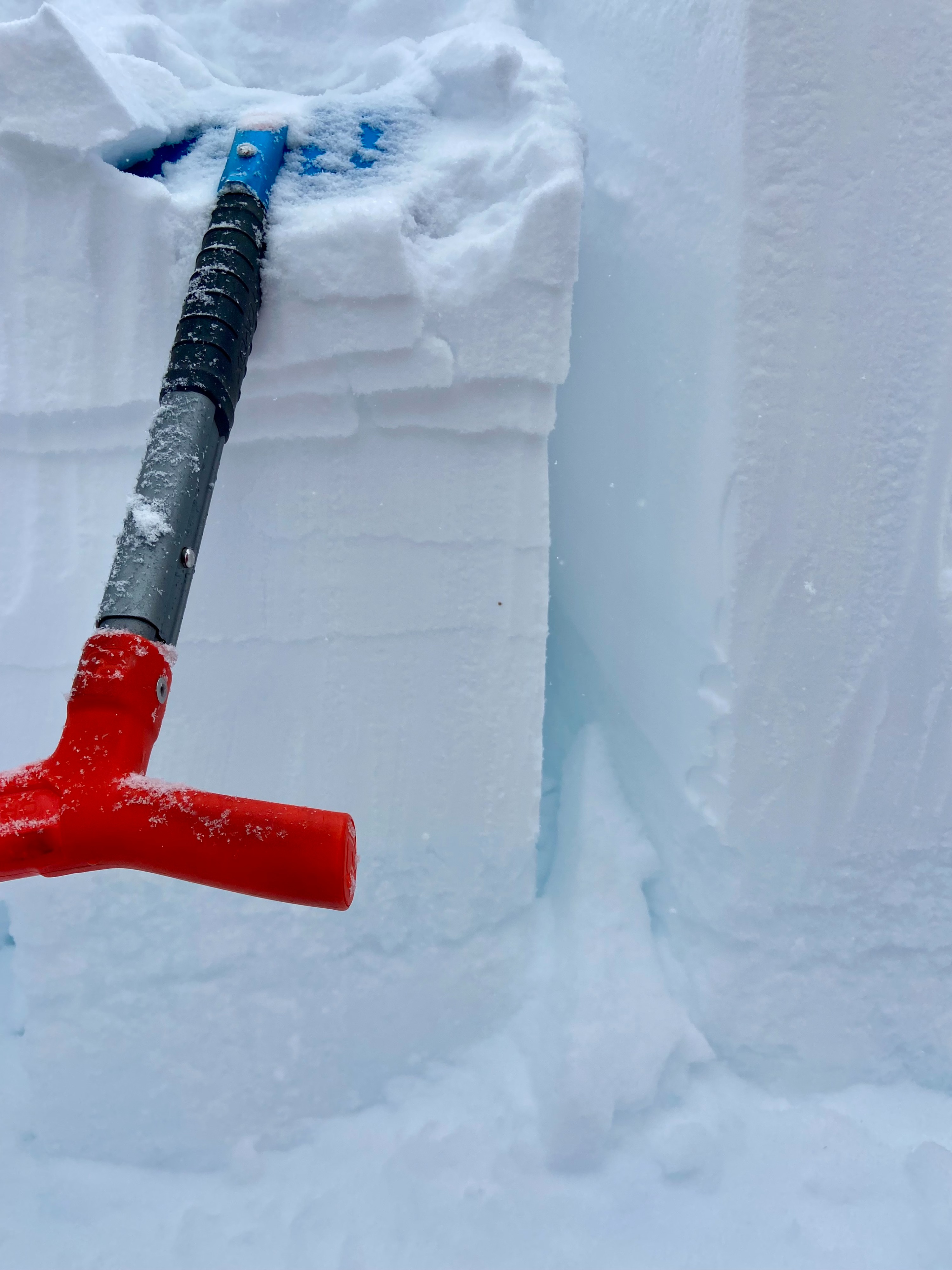
We dug a quick test pit near 8,000'. ECT and CT illustrated storm snow layer variabilities but limited instabilities.