
Quick report
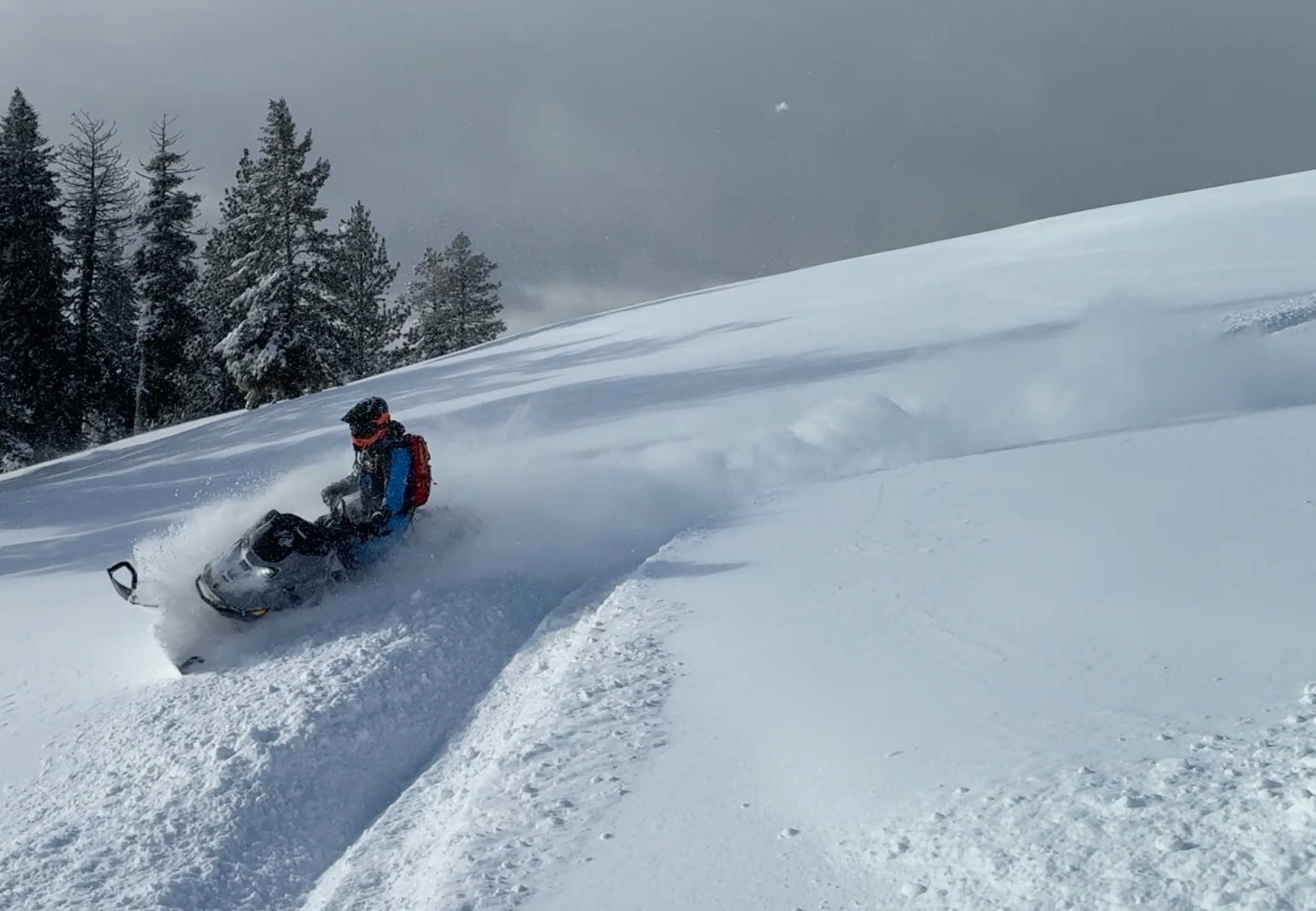
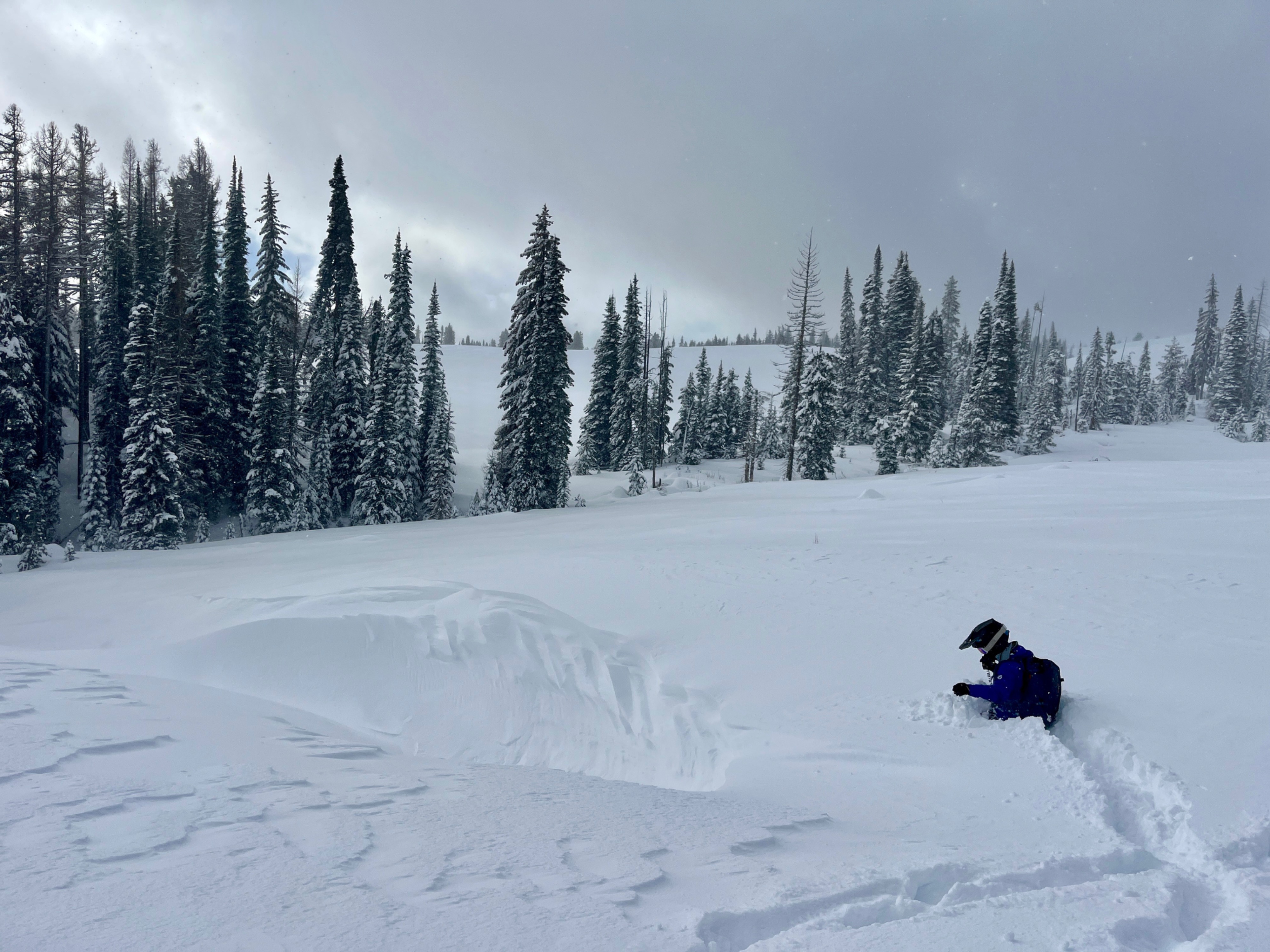
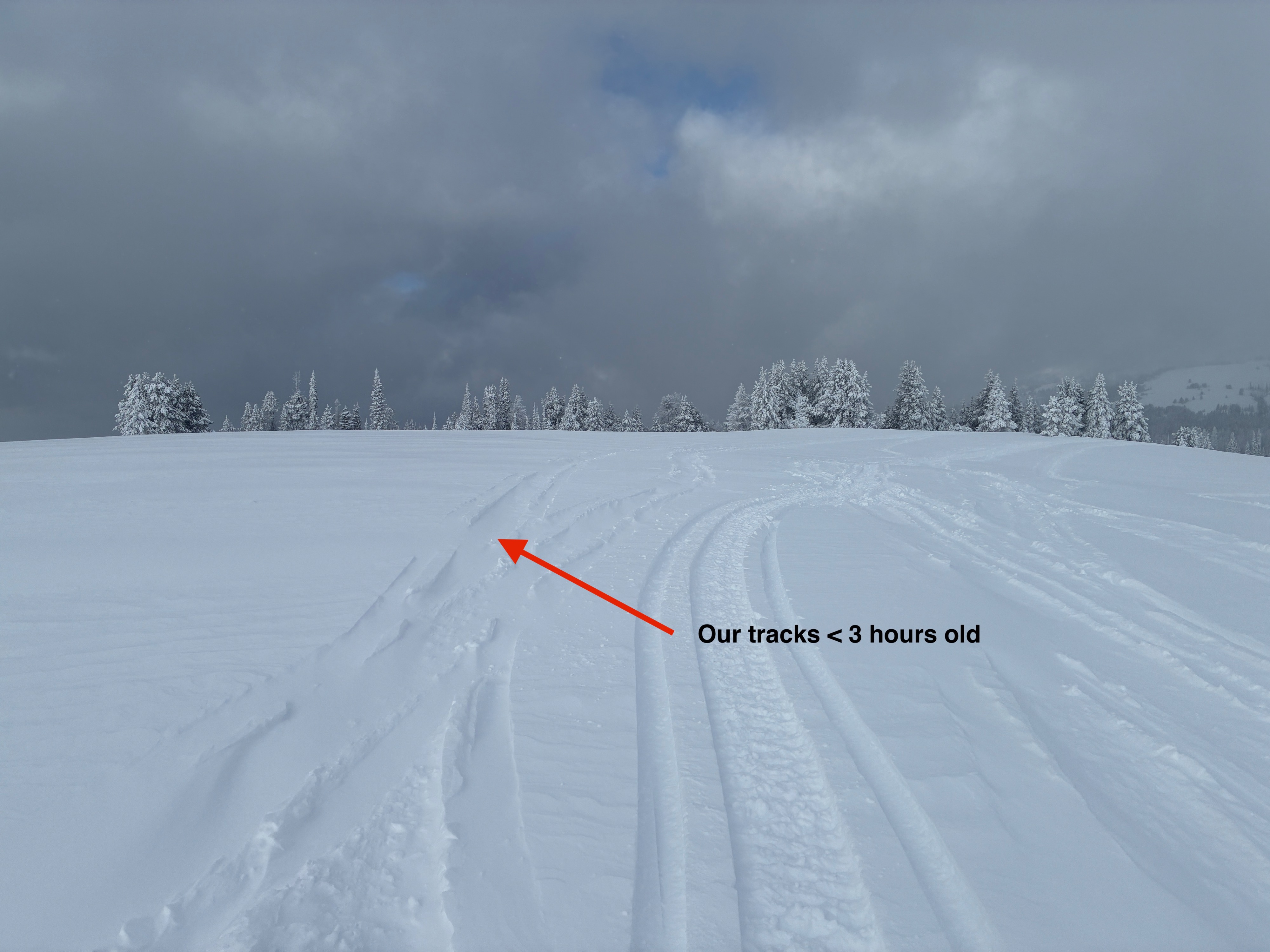
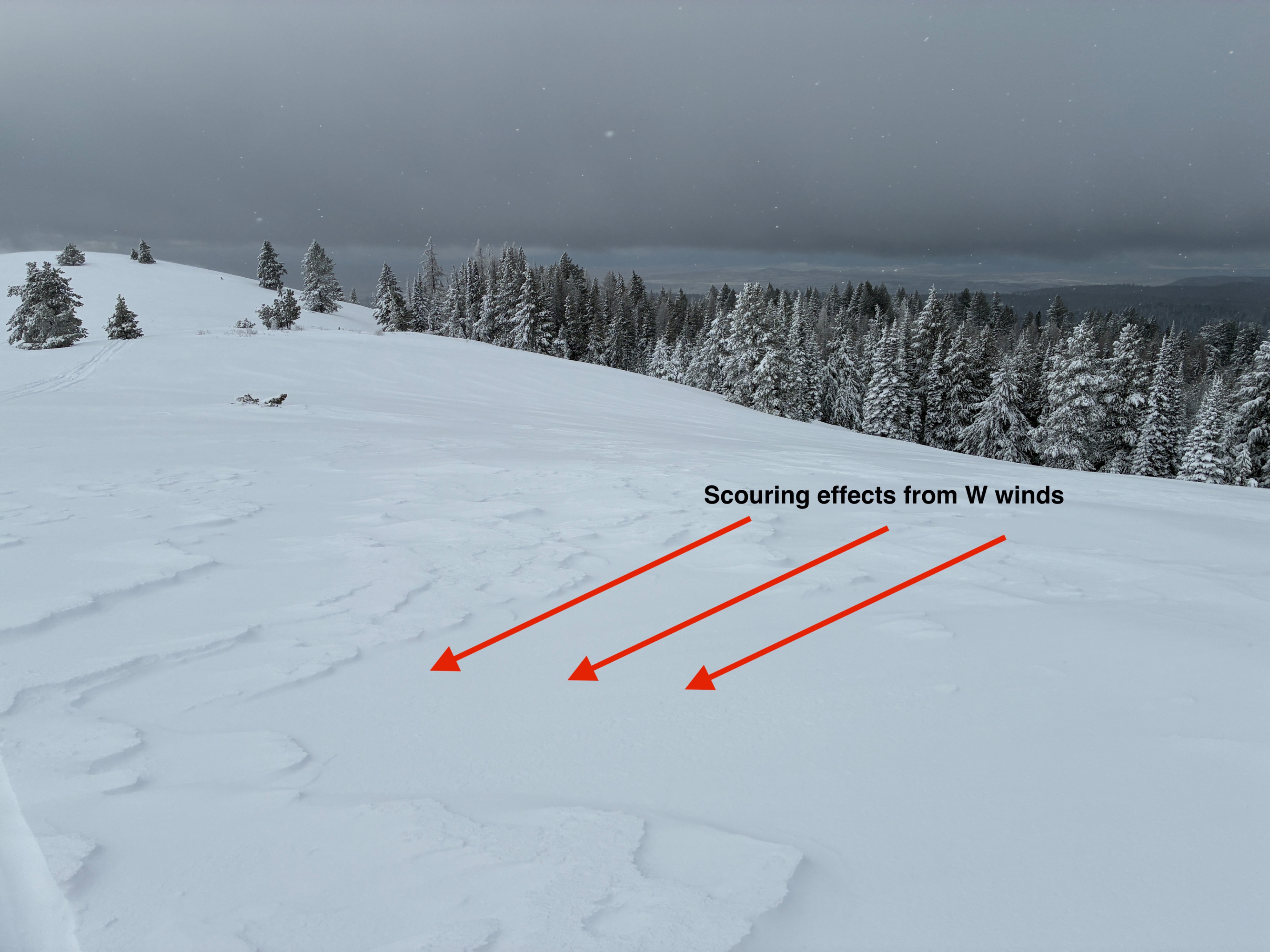
My partners and I travelled to Flagstaff Butte with the goals of observing new snow amounts and distribution, as well as winds and wind transport. Riding from the snowpark is not recommended if you have the option to drive up higher before unloading - the first few miles of riding consisted of just a few inches of new snow on gravel. Snow levels increased dramatically above 5000'. At the weather station (our highpoint) riding was excellent with about a foot of new light snow on top of the 1/3 crust, which was easily supporting a machine at this elevation. We consistently observed moderate blowing snow and drifts forming on NE through SE aspects. Ridgelines were scoured to exposed rocks in places, though coverage at ridgeline was likely <1' before the storm. We did not travel to upper elevations or enter avalanche terrain. Wind loading amounts were enough to cover snowmobile tracks after just a few hours.
Observed consistent moderate wind loading.Weather
- Air Temp
- 17
- Cloud Cover
- overcast
- Wind Loading
- moderate
- Recent Snowfall
- 35
- Snow Avail For Transport
- large amounts
Mostly cloudy skies with periods of flurries and sustained moderate winds above 5000', mainly west.
Snowpack
We found about 35cms (1 foot) of F hard storm snow. We dug several pits on N, E and S aspects at approximately 6500', and observed the 1/3, 12/26, and the 12/18 crusts in these locations. Snow between these crusts consisted of small facets or rounding facets. All three crusts were generally very thick (>=5cms) at this elevation, and likely prevented us from recording any notable results in our snowpack tests.