
Quick report
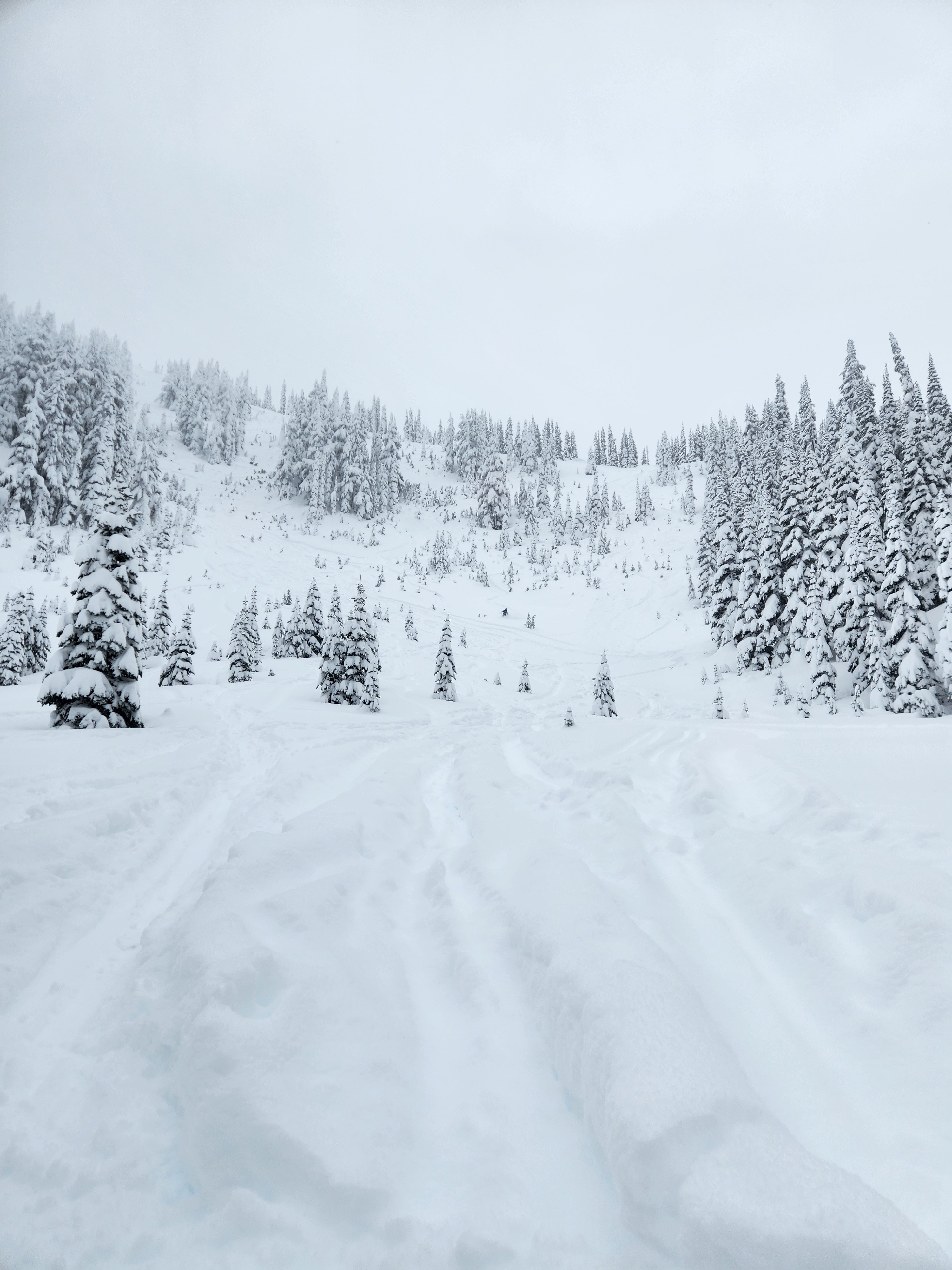
It was a beautiful stormy day in the West South with copious new snow, light winds, and excellent riding conditions. Coverage above 5500' is quite good for this time of year. Two observed small avalanches, some sluffs, and a significant snowfall kept us on alert as we moved through the terrain. Lots of snow available for transport and one potentially concerning crust layer in the snowpack are on our radar as we move forward.
Other than the two small avalanches we observed, we didn't see any other obvious signs of instability on our tour. Storm snow was sluffing on steeper slopes.Weather
- Air Temp
- 27 @ 6000', 32 @ 4500'
- Cloud Cover
- overcast
- Wind Loading
- light
- Recent Snowfall
- 30-38
- Snow Avail For Transport
- large amounts
Snow fell all day with rates up to 1" an hour. The visibility was poor. Winds were light until near ridges where they increased to moderate. Southwest winds earlier in the day veered to the east on Bullion Peak at 15:30. We observed some wind drifting on east aspects, though poor visiblity limited our ability to observe more terrain.
Snowpack
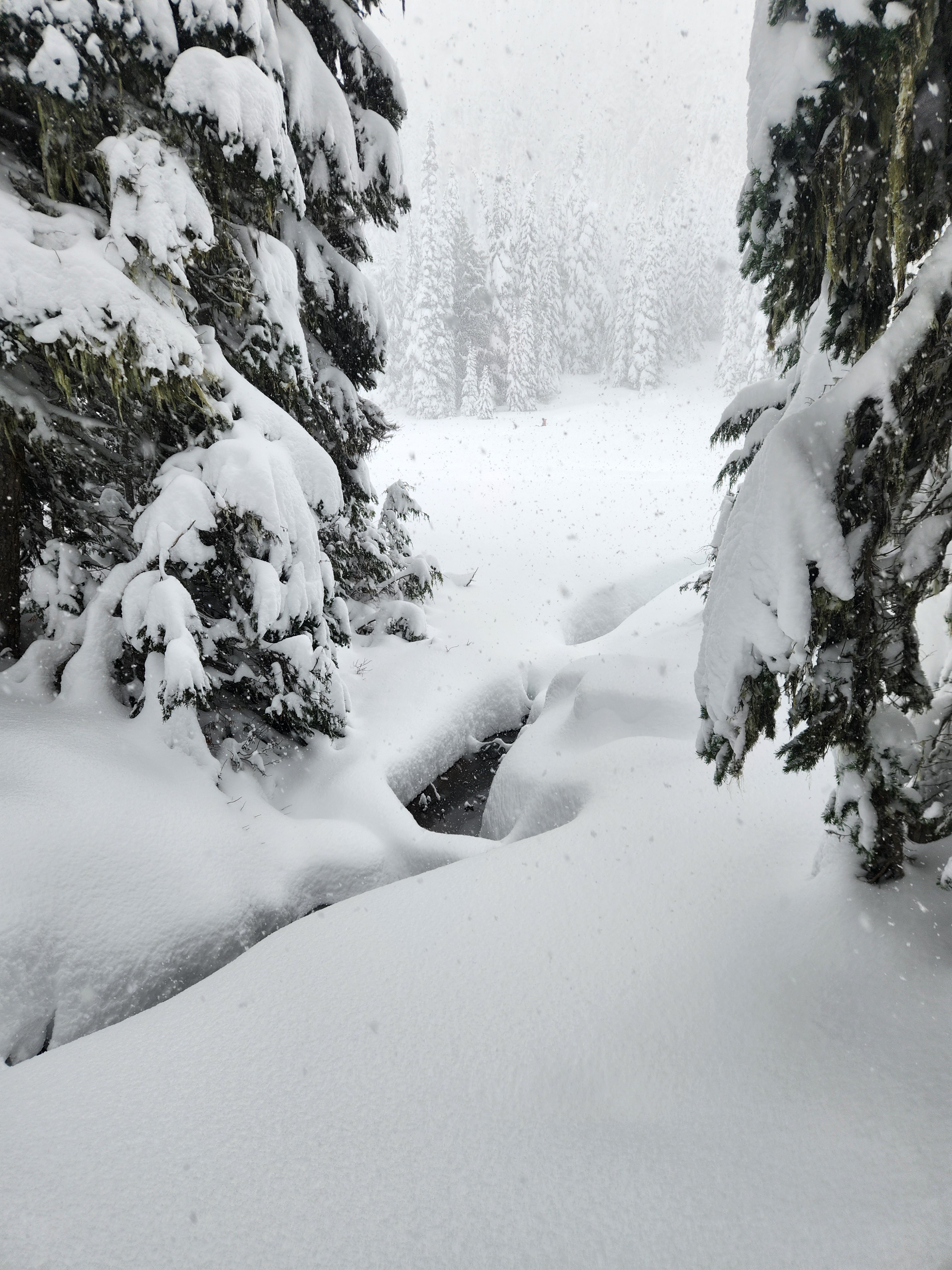
Snowpack depth varied significantly with elevation, from 3 feet around 4500' to 5 feet at 6000'. Despite the good coverage, early season conditions still exist. We saw multiple open creeks, even at 6000', and trees and alder were still exposed on many slopes.
The storm dropped 12-14 inches of snow in the past 24 hours. The new snow was cold, soft, unconsolidated, and produced fast running sluffs on steeper slopes.
At and above approximately 5800', the new snow fell on denser 4F/1F snow from multiple storms over the past week. Below 5800', the new snow fell on a rain crust from the warm up on 11/22 which capped the snow from earlier this week. At all elevations, the storm snow was relatively well-bonded to the surface below. The rain crust was relatively supportable to the weight of a skier.
The lower half of the snowpack at 6000' was generally right side up and strong with the exception of one noteworthy crust down about 2 1/2'. This crust produced propagating results in an extended column test and is worth watching moving forward.
On a more exposed SE aspect, we found evidence of prior wind loading. We didn't observe significant active loading nor did small test slopes on that particular slope prove reactive. That said, our observations in the wind zone were very limited and visibility was poor. Given the wind speeds and snow available for transport, it is possible that wind slabs developed in more exposed locations.
We dug a profile on a NE aspect at 6000':
HS 150 cm, HST 35-40 cm
150-125 cm - Fist hard storm snow
125-75 cm - Four Finger - One Finger snow from the past week.
75 - 73 cm - Mid-November Pencil crust, friable and decomposing, capped with small facets - ECTP21
73 - Gnd - 1F-P - Progressively stronger rounds on top of stout basal melt forms
Avalanche
- Size
- D1
- Type
- SS
- Aspect
- NE
- Trigger
- N
- Elevation
- 6000 ft
We observed two small slab avalanches (D-1)