
Quick report
- Collapsing
- widespread
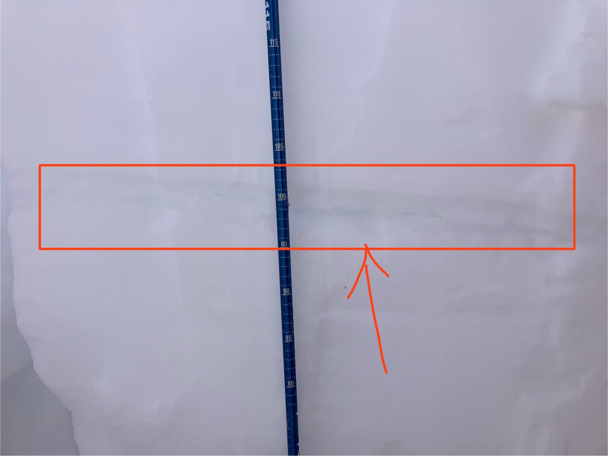
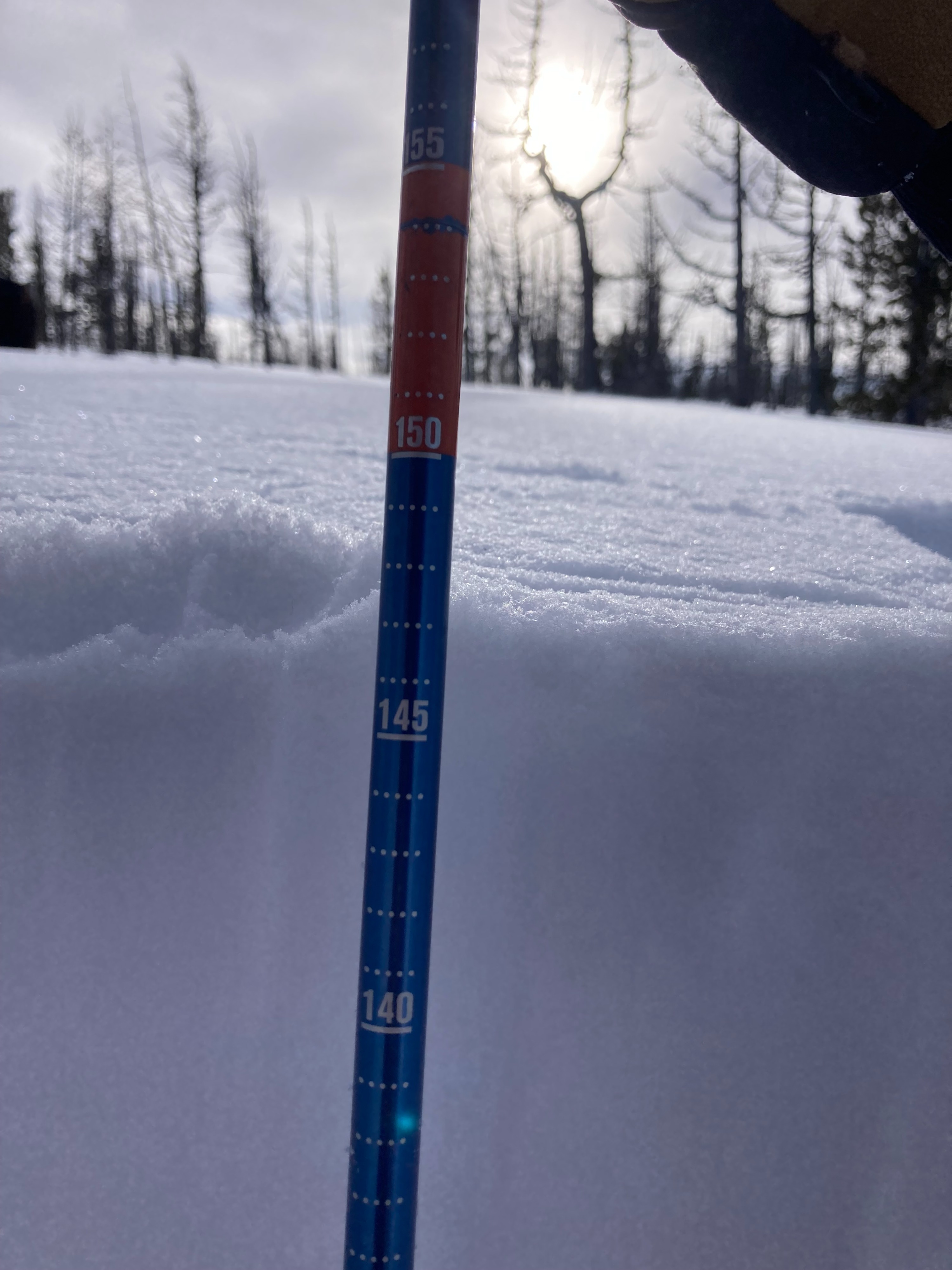
Widespread Whoomphing between 6,500 feet and 8,000 feet along NW, N, NE aspects. Amount of new snow unknown. Total snow Depth: 147CM @ 8,200ft North aspect. Weather: 9'F at 7:00am warming to 28'F at 3:15PM. Light early cloud cover gave way to blue skies with lots of sun for most of the day until 3:00pm when light cloud cover started to roll in from the South East. Snow Pack Test Results: - CT 10 @ 135cm, CT 20 @ 100cm - ECT 6 @ 100cm, layer collapsed as predicted and fully propagated. Depth: 147cm Aspect: North 15-20'. Cautious travel due to forecast warning, high elevation objective, and overall group experience. Stability Impression: Stability was poor, all signs of instability was predicted in the Saturday Forecast. We found all of the signs on instability predicted therein along with and uncountable amount of whoomphing on the approach. Would only suggest skiing on slopes<30'
Avalanche
- Size
- D2
- Type
- SS
- Aspect
- N
- Trigger
- N
- Elevation
- 8800 ft
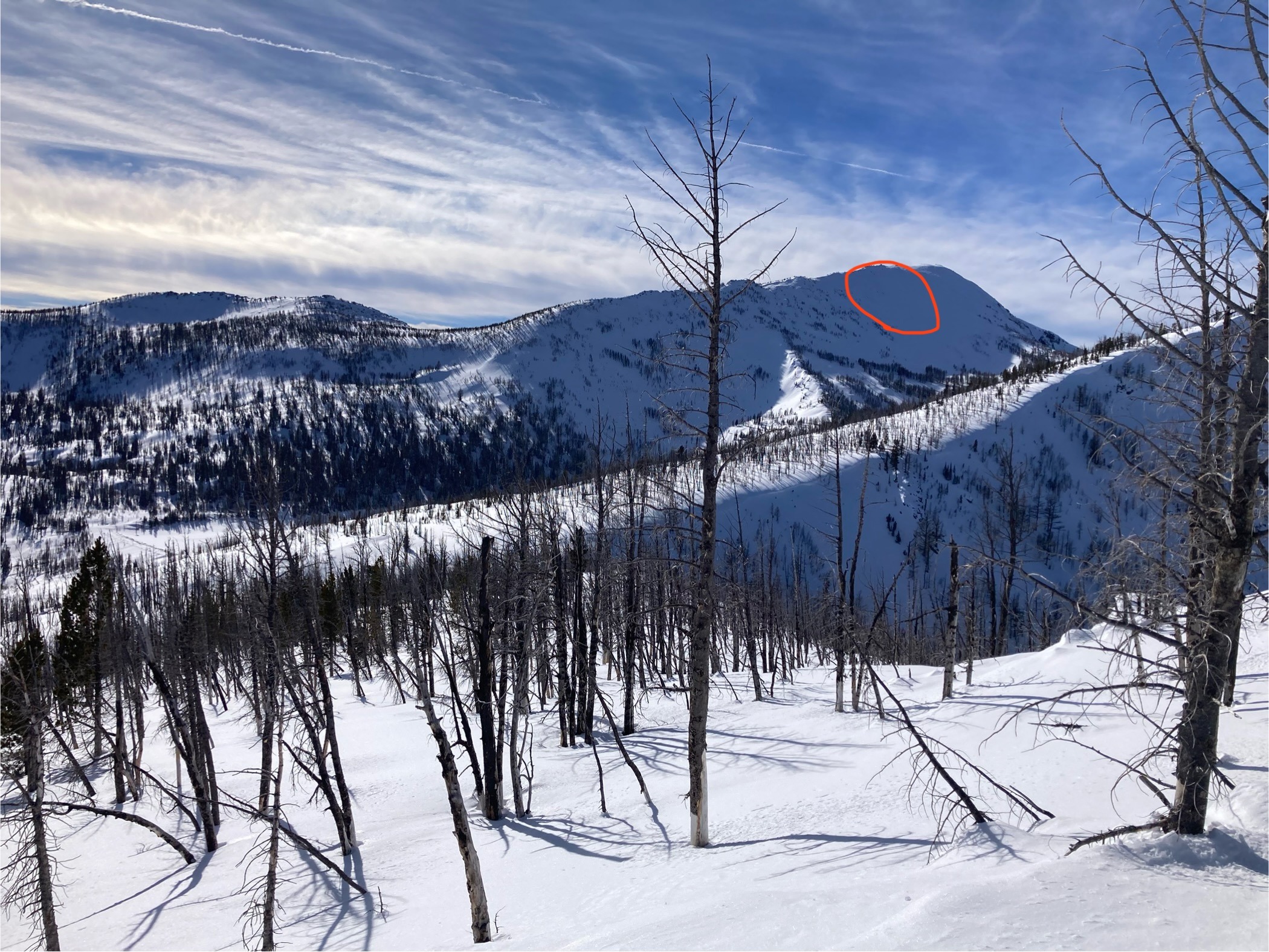
Main bowl on Lolo peak false summit, Northern aspect, 8,800ft. Appeared to be a day old and naturally triggered. No one was caught. From Carlton Ridge we estimated: Size: D2, ~40 Meters across, 50 CM Crown.