

Quick report
- Cracking
- isolated
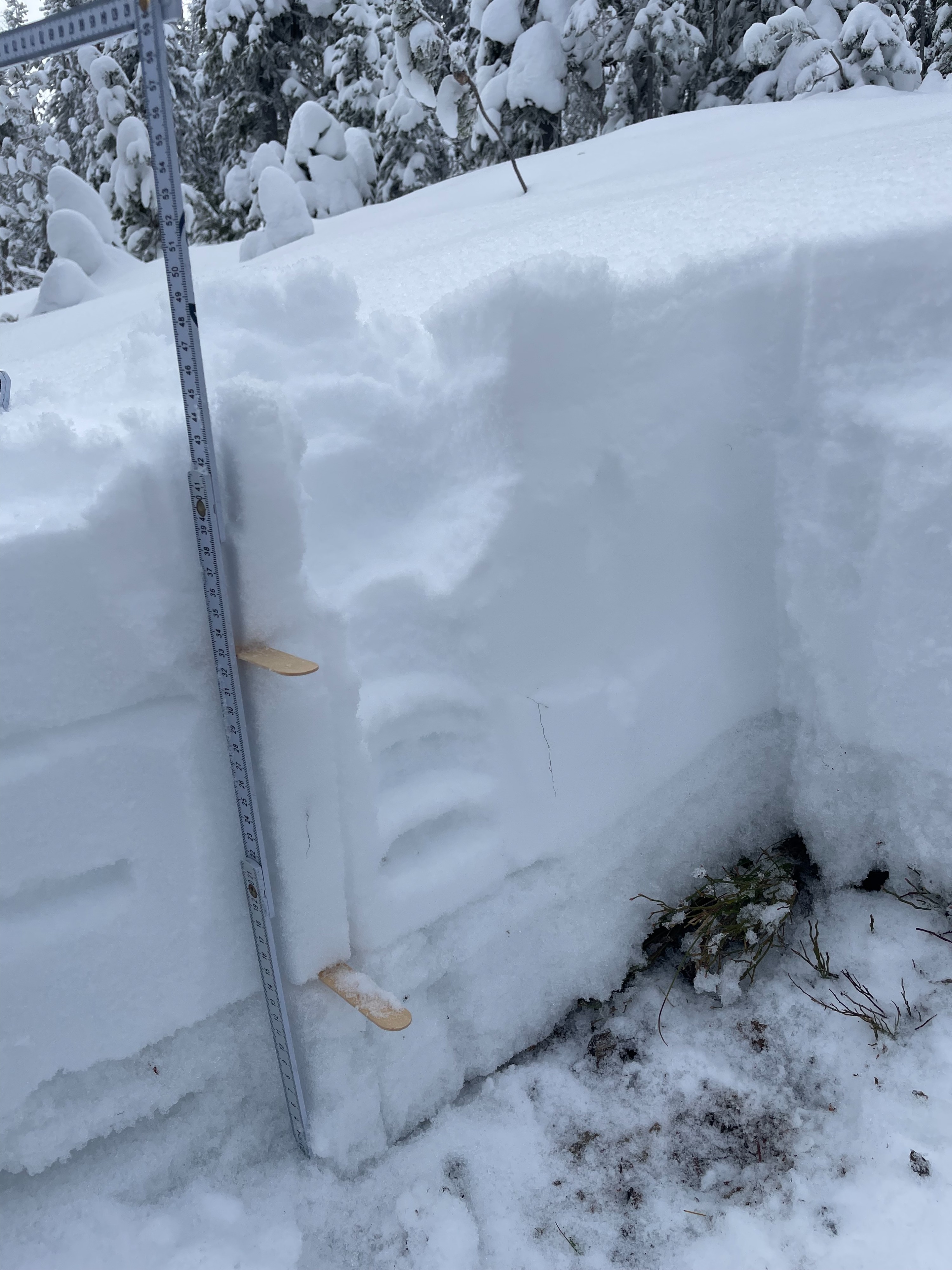
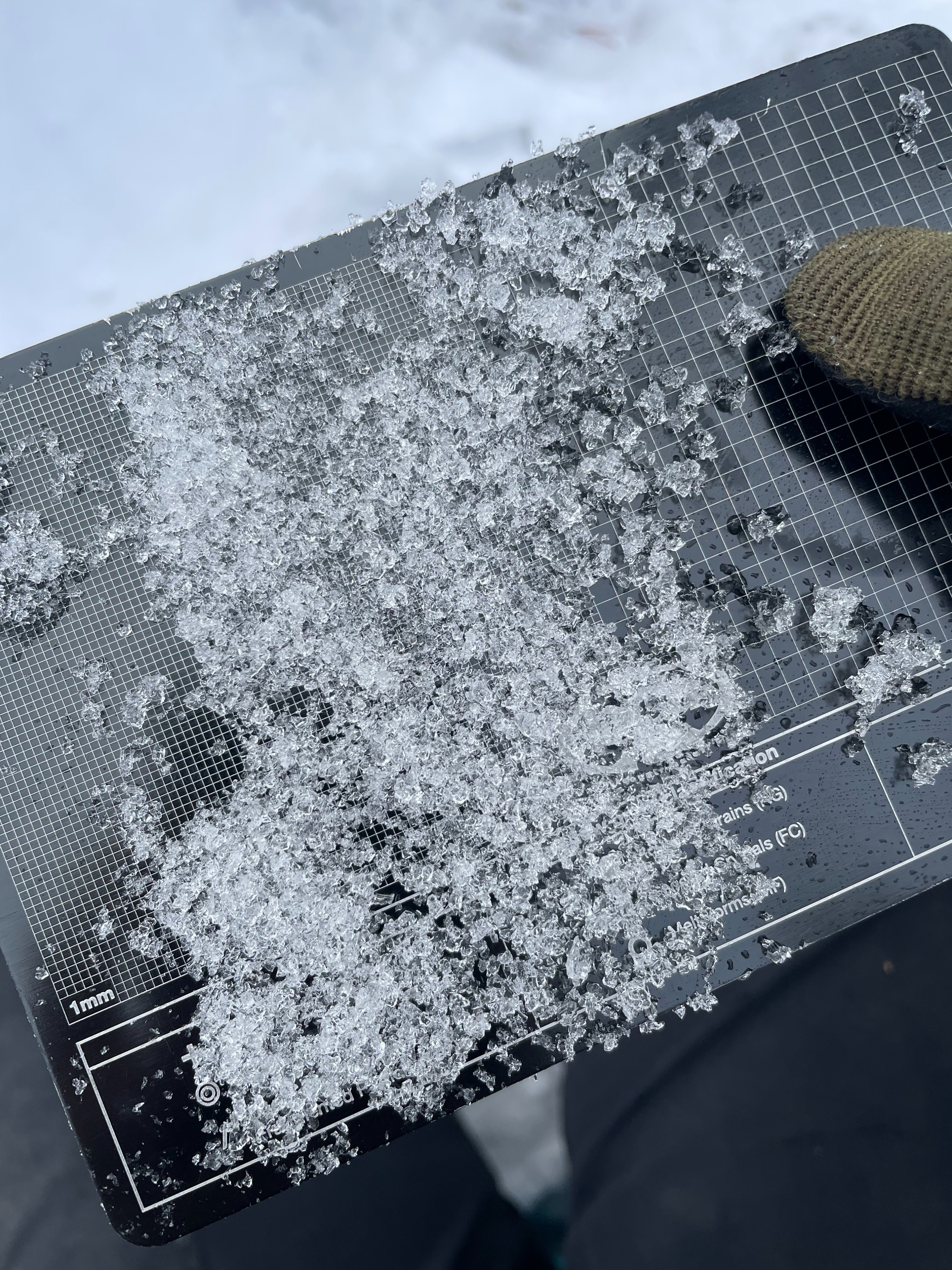
Snowpack is still thin in most places and early season conditions exist but it is starting to build up a good base. Height of snow is ~10" at 7,000ft and ~13-17" at 8,000ft. Most recent snowfall events were 4" between Dec 3rd-5th and 7" between Nov 24th-Nov 29th. Weather is currently snowing and expected to snow more today and high winds been observed in past 24 hours. Snow transport appeared to come from the W/SW most recently. Cracking in wind affected areas was observed but was fairly isolated. Dug a pit on a N aspect in a non-wind loaded area @ 7,800ft. The bottom 15cm was faceting melt forms (P-P+) and the upper was primarily soft, sugary snow (4F-F) from the previous two storm cycles. At 33cm there was a layer of faceted snow and surface hoar crystals from the period after the Nov 29th storm cycle that failed on a compression test (CT11 Q3) and an extended column (ECTN5). The surface hoar was not extremely well preserved where I dug but will be something I look for in future pits. My primary concern right now is additional loading and warming temps in this next storm cycle on top of cold, weak snow! I would also be cautious in wind-loaded terrain based on the recent wind/snow transport. And of course, I am still concerned about early season conditions and skiing aggressively in a thin snowpack until we get more snow...