
Quick report
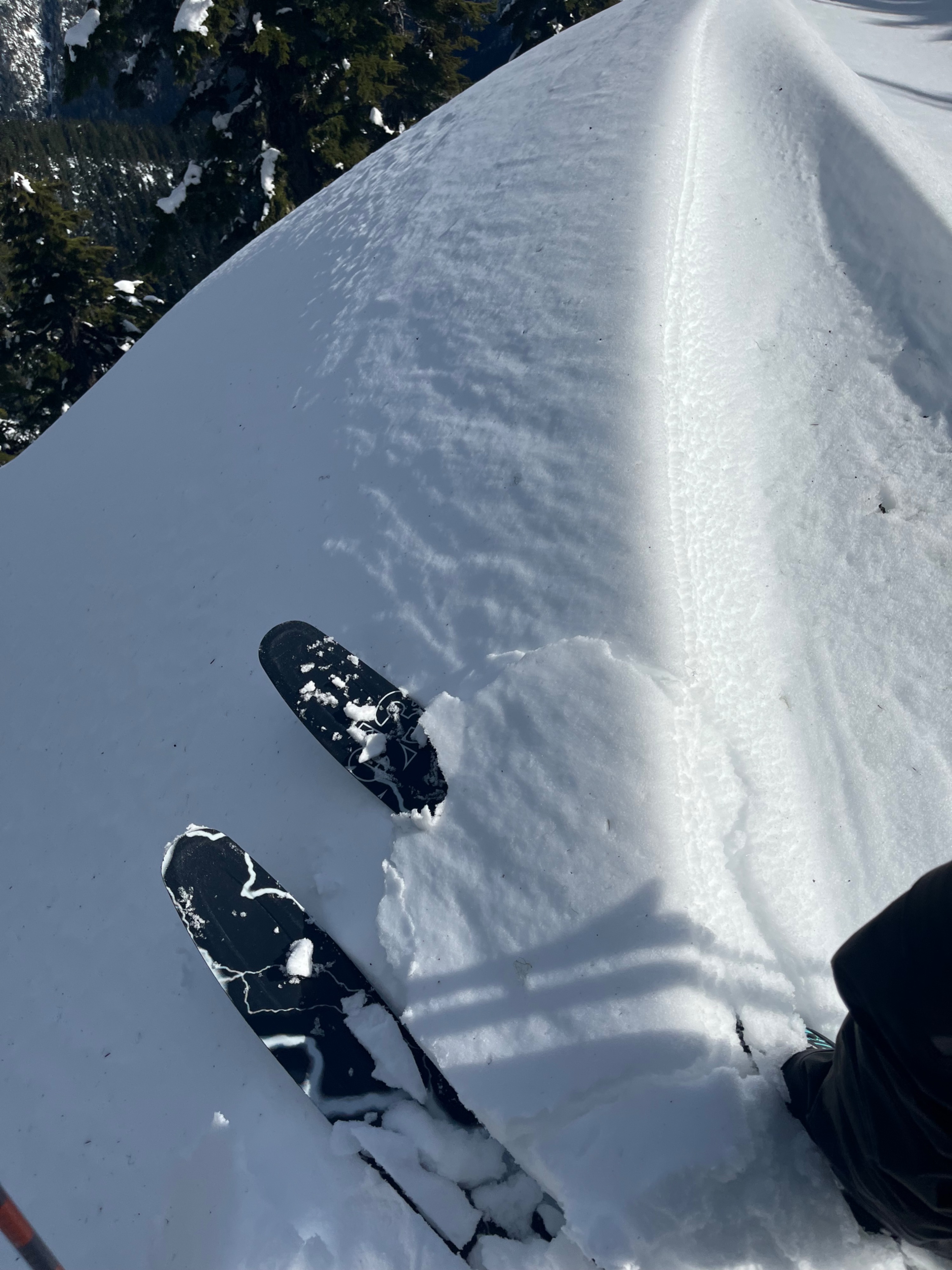
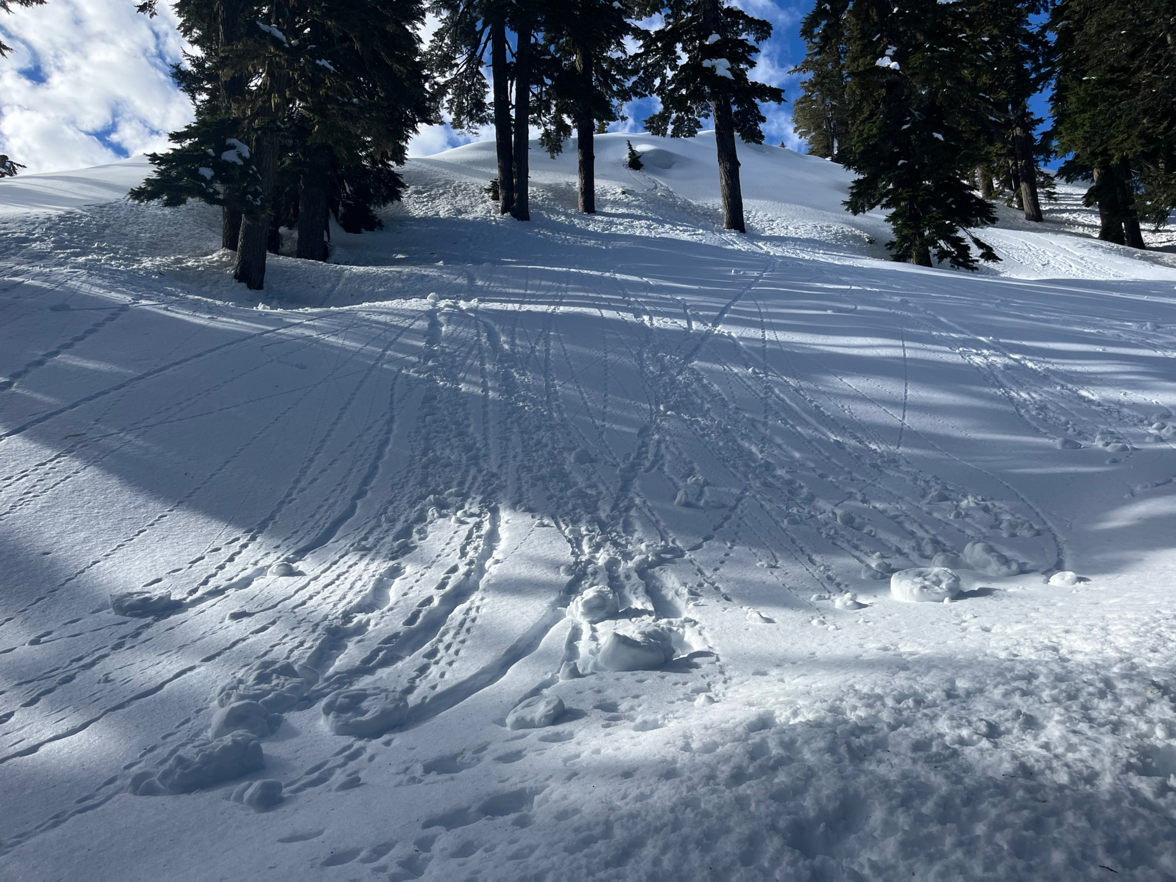
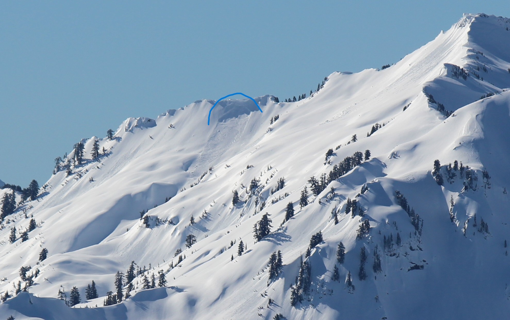
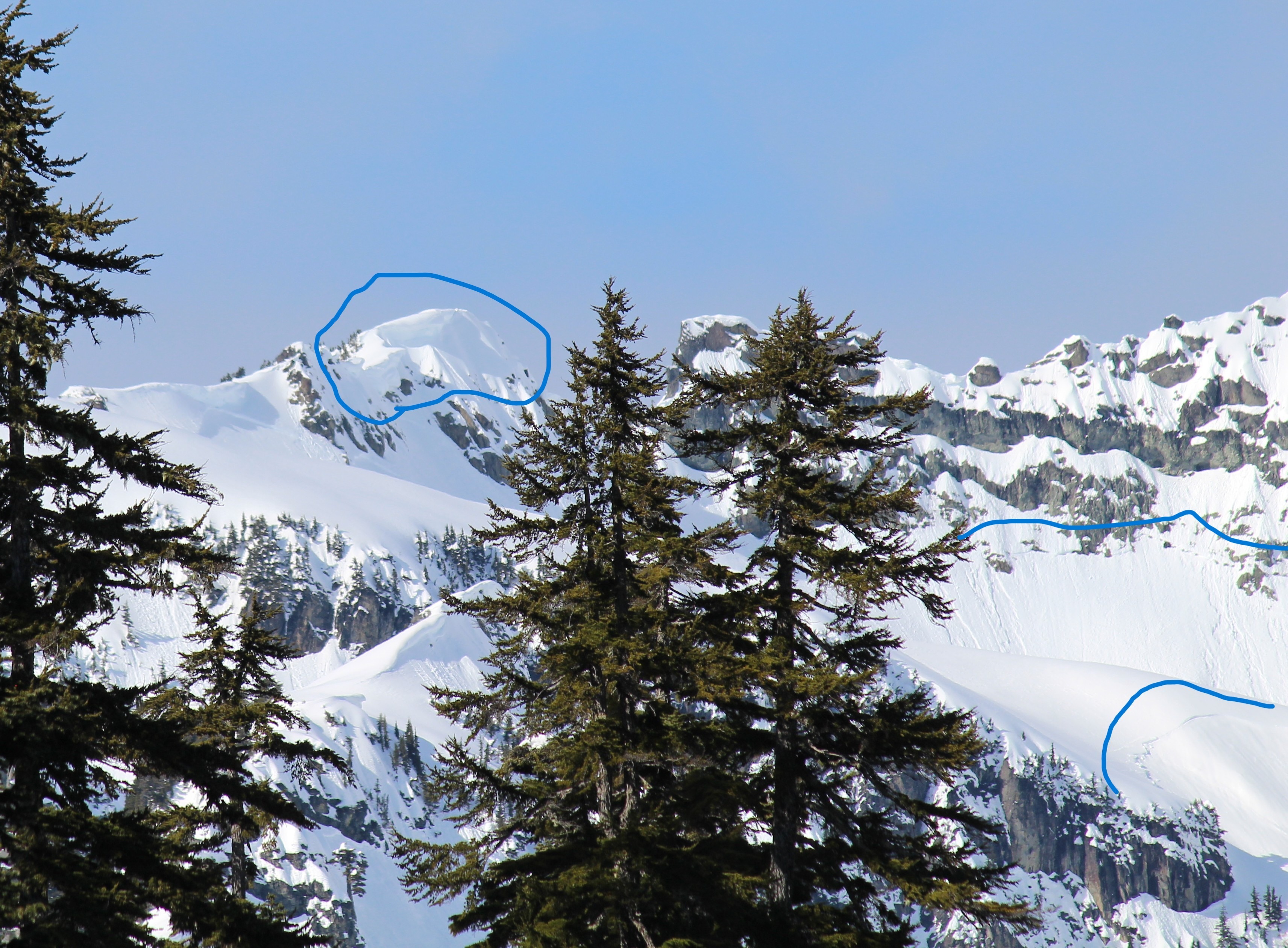
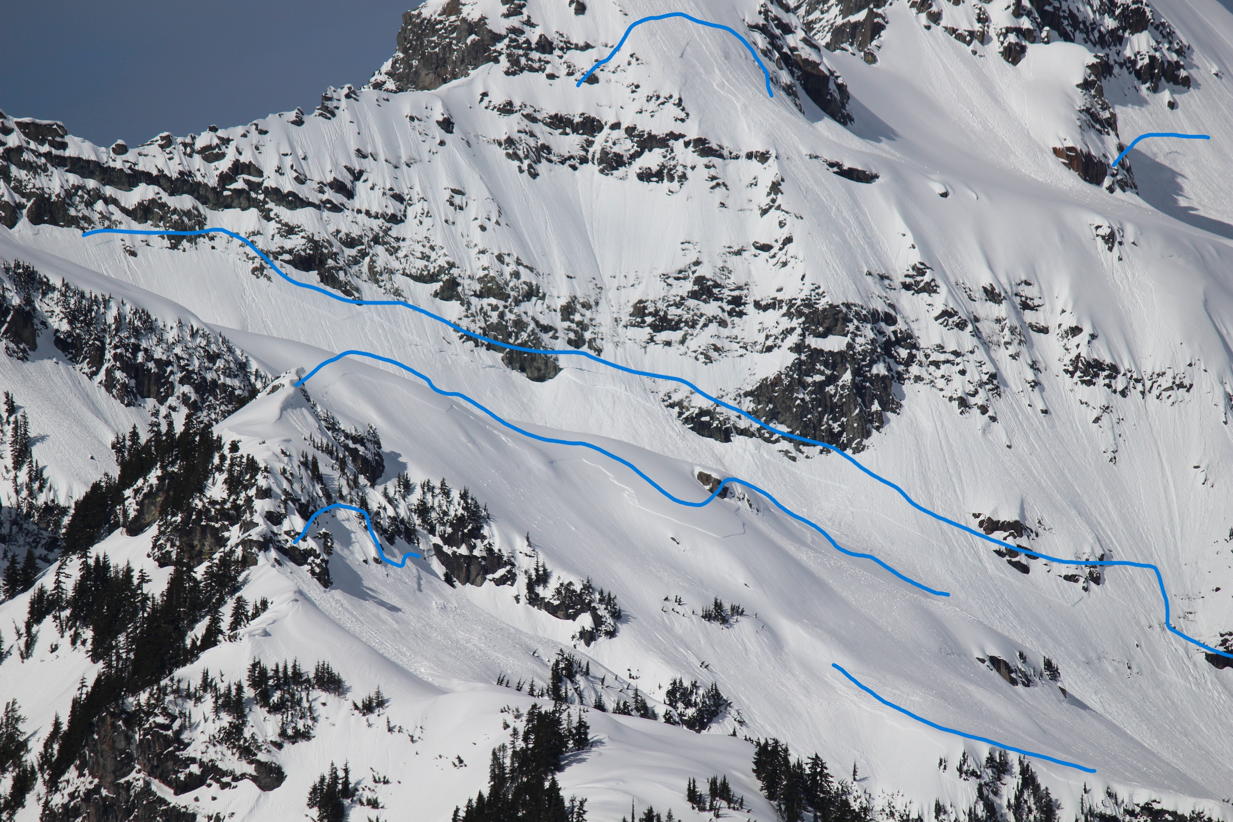
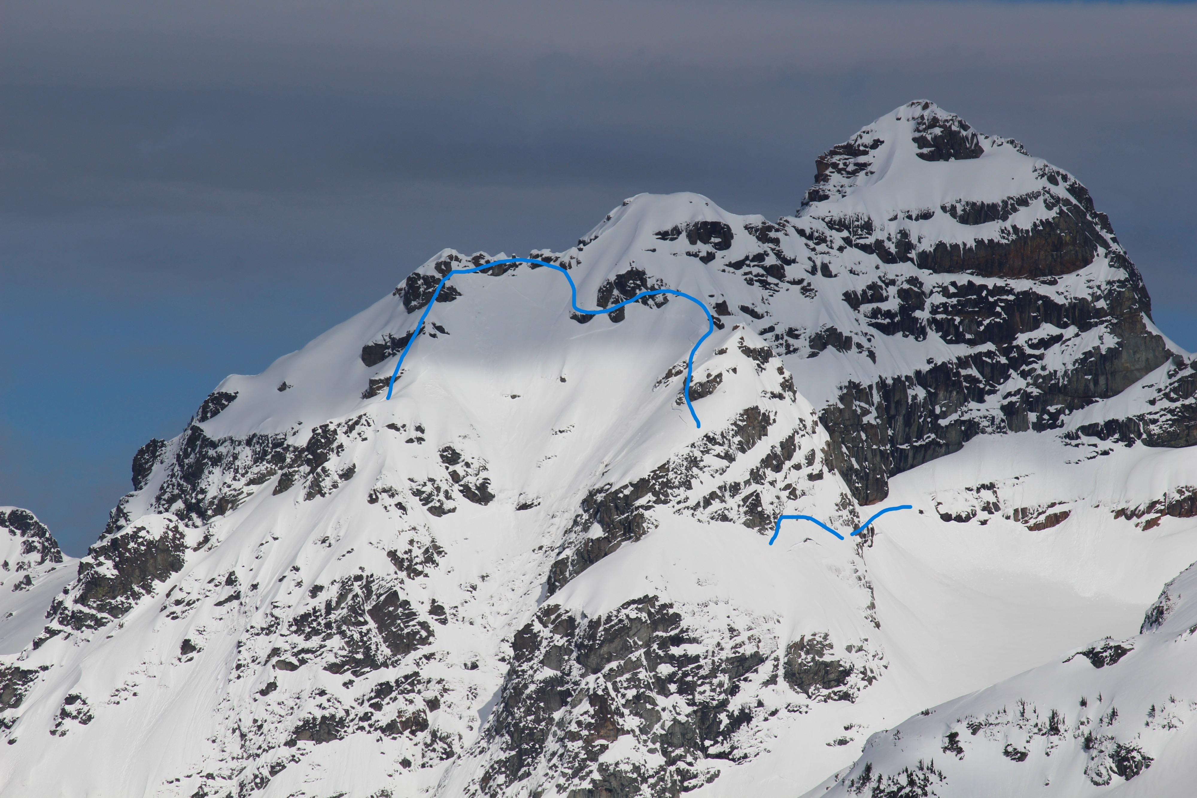
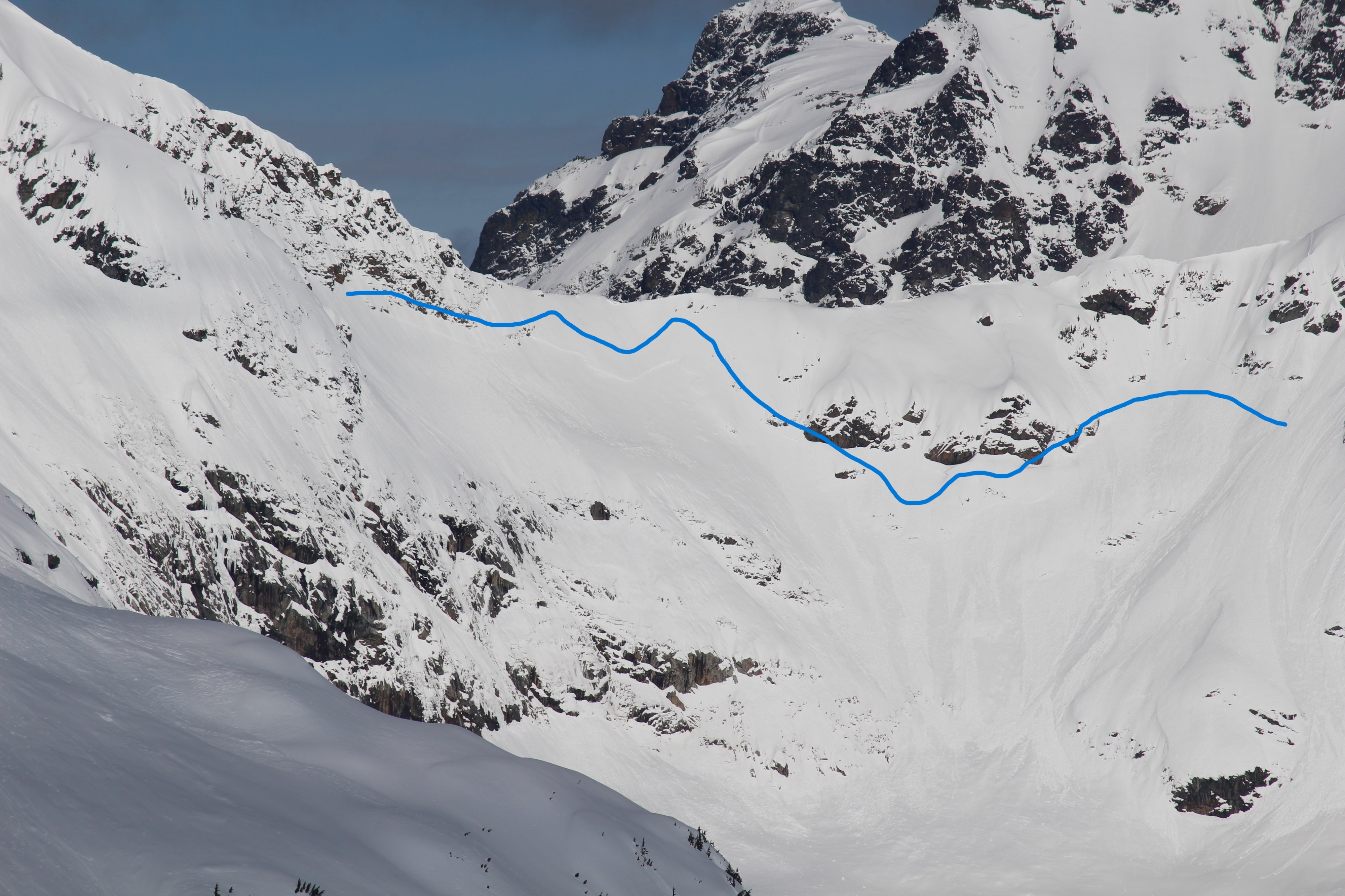
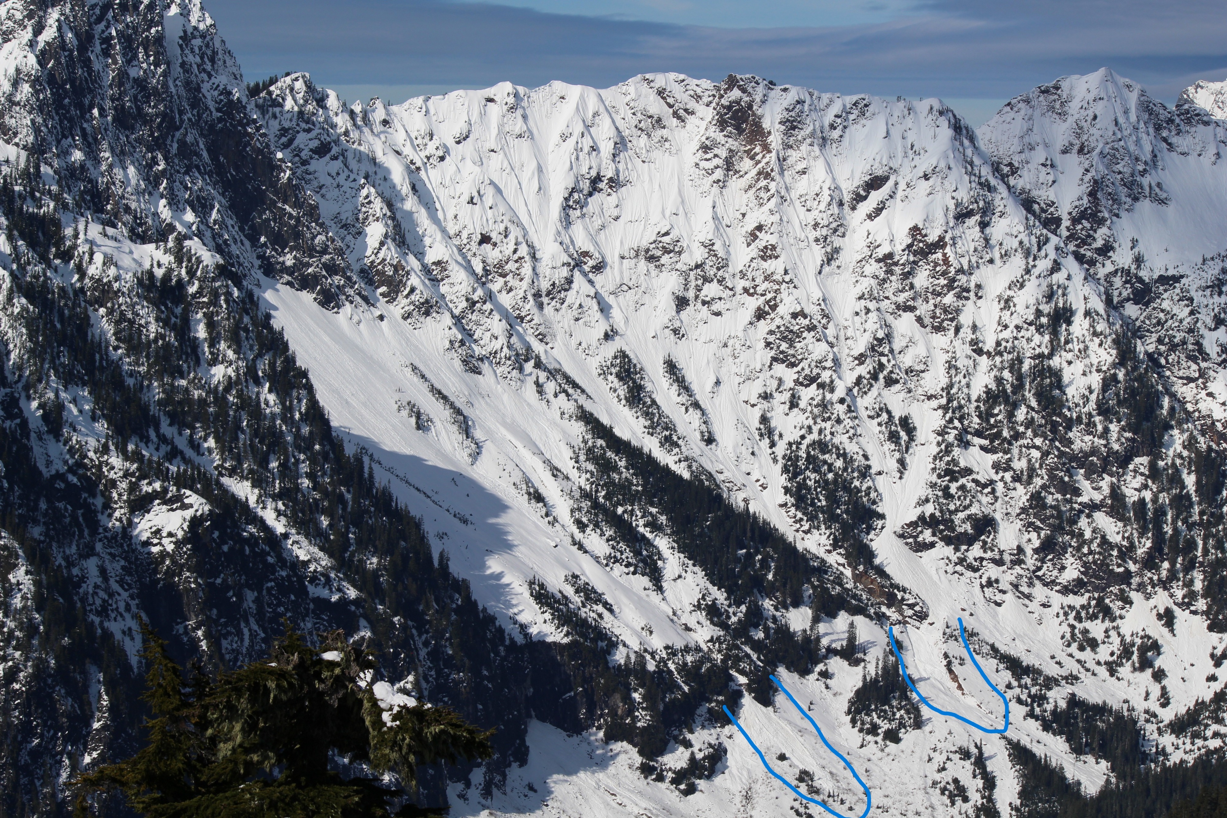
A hot day with the main concern being wet loose avalanches that picked up late morning. Steep slopes I was near only produced rollerballs with my pushing snow, but in very steep, rocky areas natural wet loose avalanches were running. There were many old slab avalanches, some of which occurred during the atmospheric river over the weekend and others possibly more recently, no longer seem to be occurring.
Weather
- Air Temp
- 50
- Cloud Cover
- few
- Wind Loading
- light
- Rain Elevation
- 3500
- Recent Snowfall
- 50
- Snow Avail For Transport
- small smounts
Clear morning skies then scattered clouds and occasional high thin overcast in the afternoon. Calm to very light winds. Temperature at 5000ft was 50F @ 1300hrs!
Snowpack
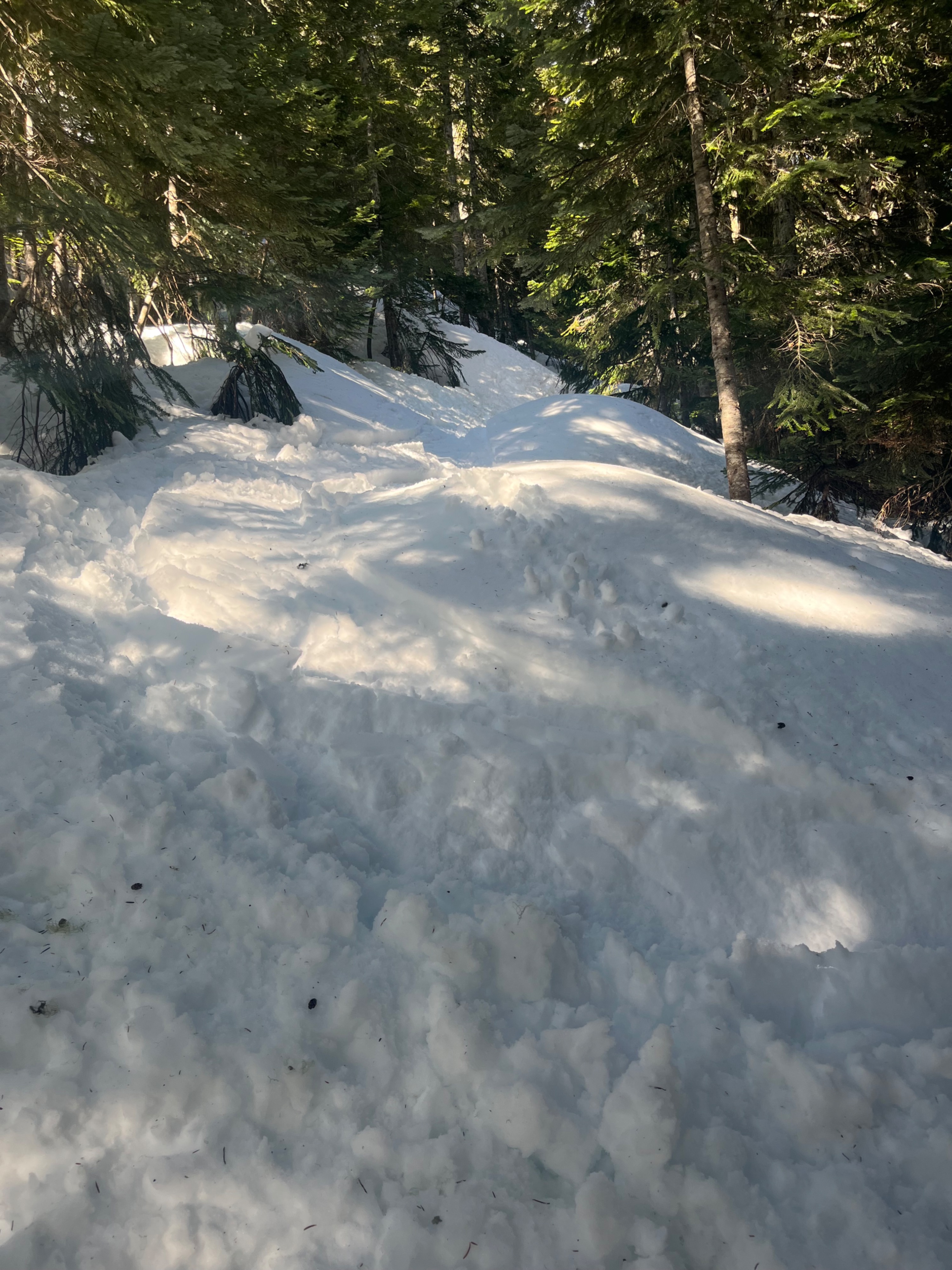
Consistent snow cover began at about 3500ft. By 4000ft it was 5ft deep, and at 5000ft it was over 10ft deep.
The new storm layer from Mon-Tuesday was 50cm (20") over the moist melt forms layers that endured the weekend's atmospheric river.
In the morning, shady aspects had dry surface snow, but by midday all aspects to 5000ft had a moist surface. This was only the top 2cm on northerly aspects, but snow was wet 10+cm deep on steep, sunny slopes.
Pits yielded hard, resistant planar compression test failures about 30cm down on a mid-storm interface.
Avalanche
Several old slab avalanches, D2-D3, that happened 1 to 5 days ago. Recent wet loose avalanches up to D2 that likely began yesterday, continuing today. I witnessed one D1.5 wet loose avalanche that ran over a cliff at 4400ft, S at 1400hrs.