
Quick report
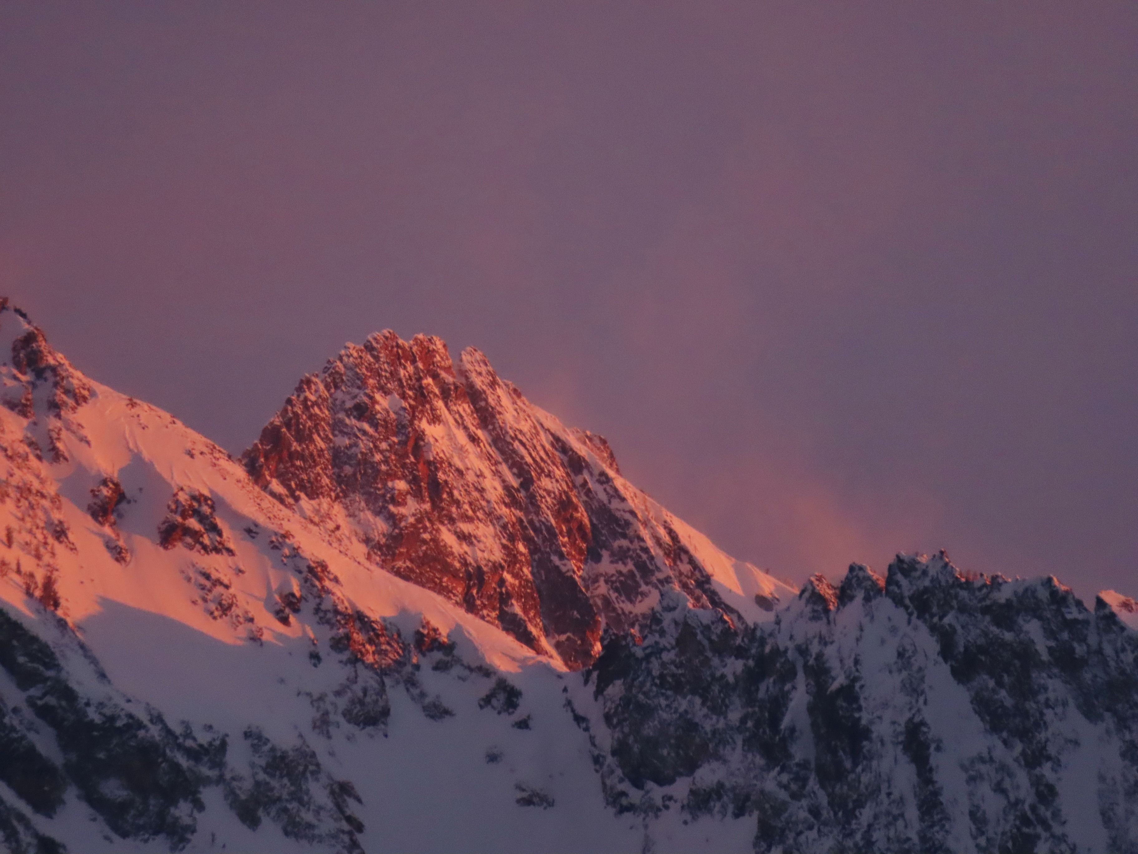
This was a sunset walk to make some turns, stretch the legs, and see how much damage the N winds were doing.
Weather
30-35cm settled storm snow at mid and upper elevations since 3/10. Thin haze of mid level clouds allowed for alternating periods of diffuse sun and periods of S-1 precip in early afternoon, with cloud cover decreasing in the late afternoon. This area received several hours of direct sun late in the day.
Snowpack
Well, we lost a lot of good snow out there today...
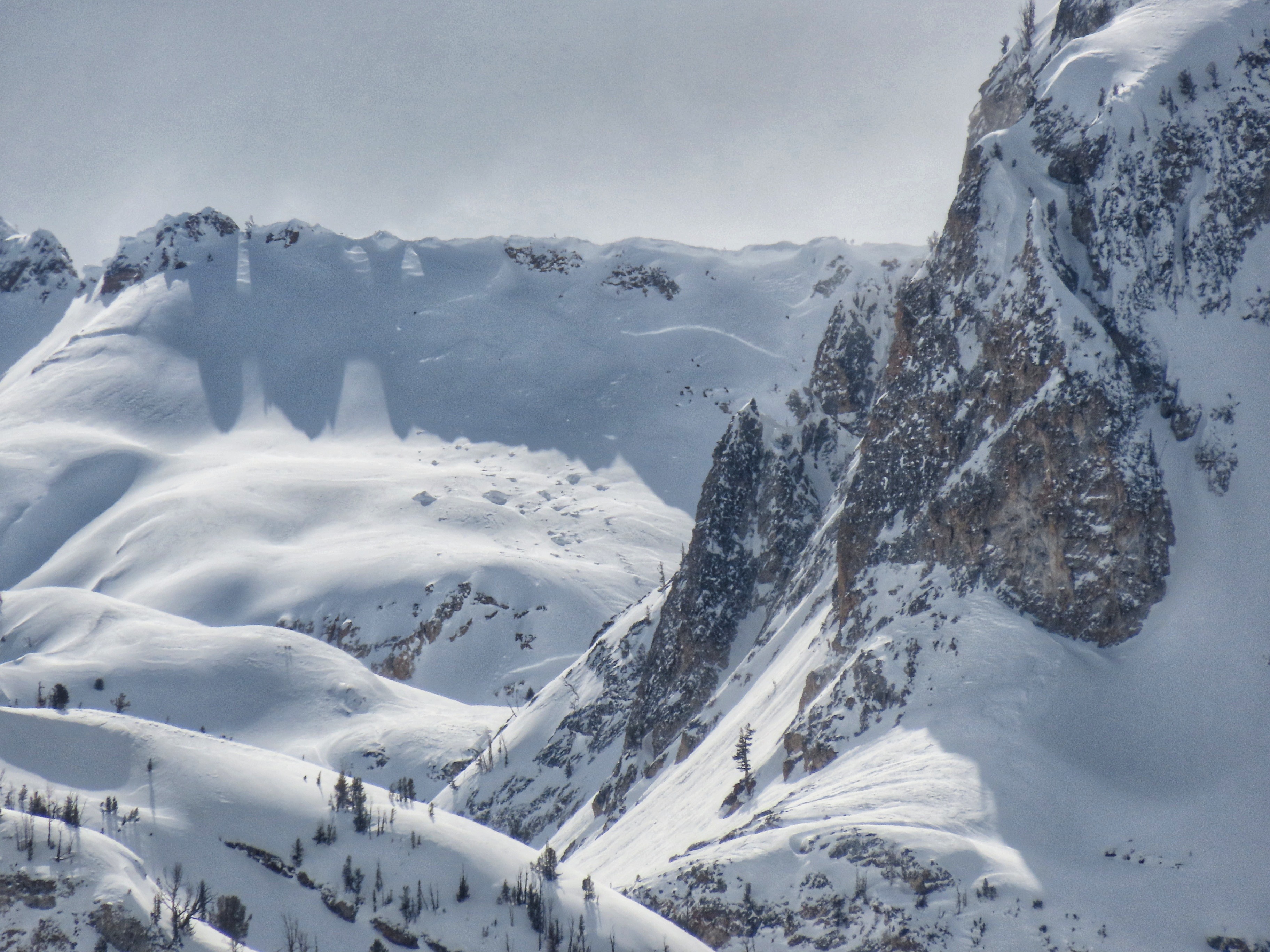
Late day sun was doing some melting on SW and W aspects, I suspect there will be crusts at least at lower and middle elevations. It looked like the Sawtooths were getting a good dose of sun in the late afternoon as well. Northerly winds were hard at work, locally wrapping around to blowing out of the NE. Wind events like this can really do a number on ski quality on steep shadies in the Sawtooths and Banner area... :( Based on what I saw today, I'd expect that most northerly terrain in these areas saw quite a bit of wind today. I'd expect to find stiff, wind-pressed, strugi'ed snow inside of couloirs, particularly near the aprons and near the tops. Winds have been chucking snow on what seems to be the least-well-behaved 3/10 surface (MFcr+FCsf on solars and particularly solar margins), I'd expect to find some sensitive slabs here.
Avalanche
- Size
- D2
- Count
- 2
- Aspect
- NE
- Trigger
- N
- Elevation
- 7800 ft
Unsure on timing of this. It appears to have failed near the ground, which could either be the 2/1 or the 1/6 weak layer in this location.