
Warm Springs Ck (Baldy OB) and glassing to Sawtooth overlook
Quick report
I didn't see any signs of wet or dry snow instability on shady middle elevation slopes in the Warm Springs drainage (Baldy out-of-bounds terrain). Wet loose avalanches were not a problem on those NW-N-NE aspects. Driving to Galena Summit, I saw a handful of fresh, small wet loose avalanches in rocky, sun-drenched alpine terrain in the Boulder Mtns. I saw several recent wet loose slides in similar terrain in the southern and central Sawtooth Mtns, but they could have released Mon, Tues, or Wed (today).
No signs of instability on skis. Avalanches observed refers to a handfull of fresh WL slides in the Boulder Mtns.Weather
- Air Temp
- 50s valleys, 40s pass level
- Cloud Cover
- few
- Wind Loading
- none
- Recent Snowfall
- 0
- Snow Avail For Transport
- small smounts
Light variable winds at Baldy and Galena Summit.
Snowpack
I focused on NW-N-NE aspects from 8000-9100'. Overall, there were intact crusts of varying thickness throughout a supportable snowpack and little wet snow - I would have been very surprised if someone triggered an avalanche today in the places I traveled. When meltwater starts moving through the snowpack again, the structure on middle elevation NW and NE aspects would lose strength more quickly than due N aspects or slopes in the windy zone near and above 9000'.
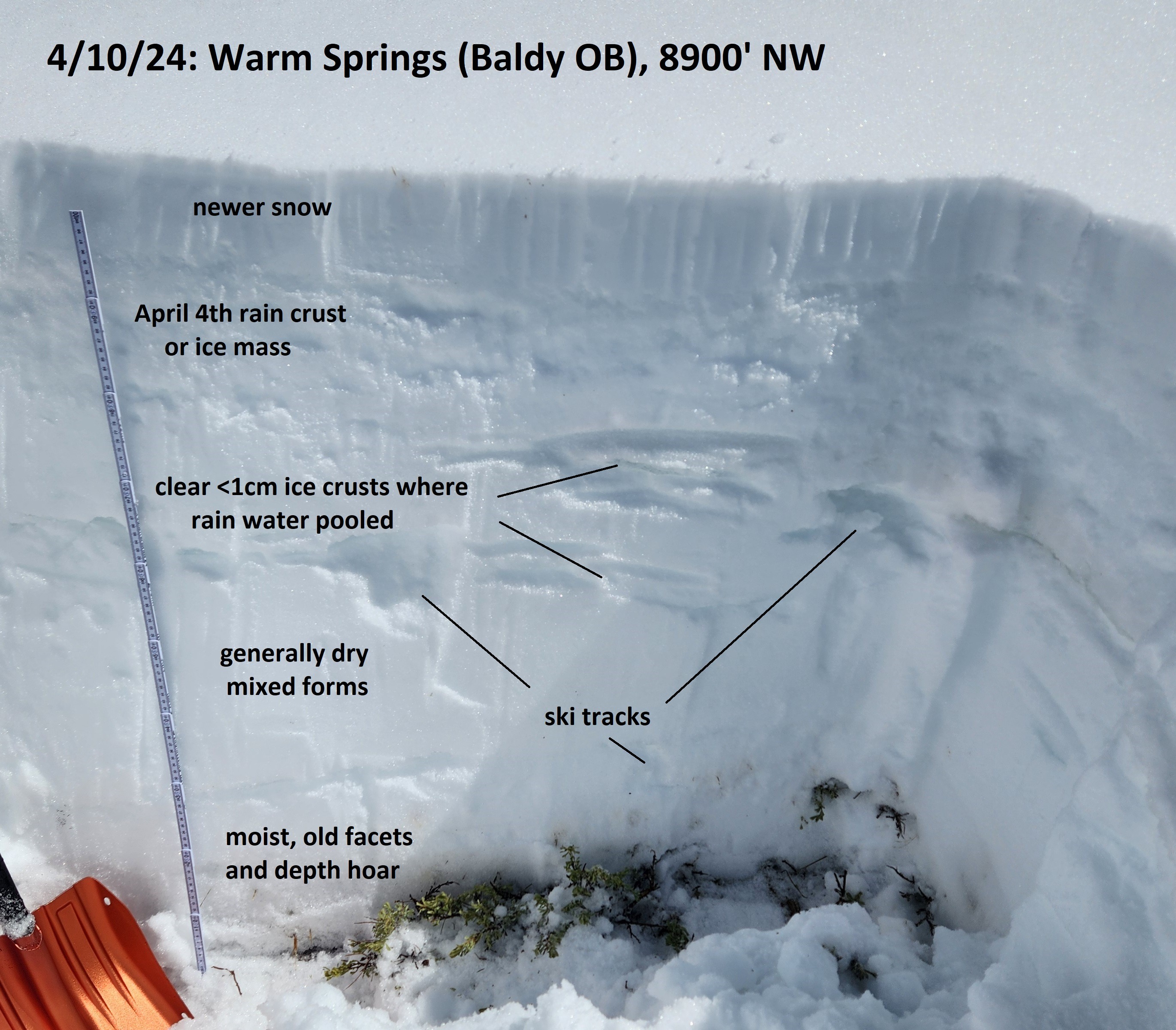
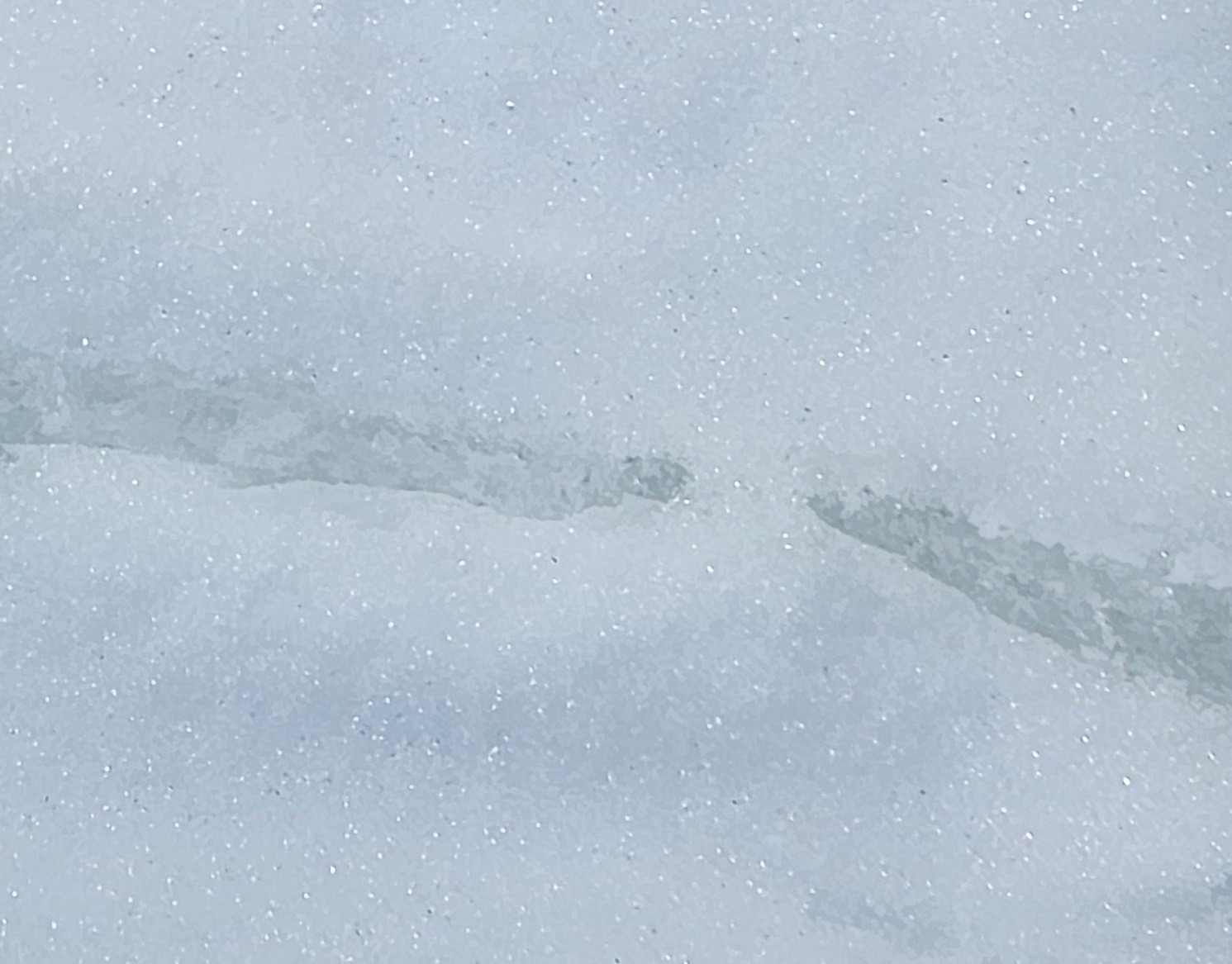
8900' NW: HS=110cm. 1cm of softening moist crust on top of 10cm of mostly dry intact DF, then 8cm thick P/K April 4 rain crust. 10cm of intact but moist DF with some perc columns, then a 1cm thick clear ice crust. Then another 10cm of intact but moist DF with some perc columns, then another <1cm thick clear ice crust. Then 30cm of dry mixed forms, then 40cm of moist FC and DH with some rounding, to the ground. See photo. This pit was in a windy location near the top of the starting zones.
Moving below the wind zone, HS=65-100cm, mostly 65-70cm. As you descended to 8000': 1) the recent snow on the surface (mix of corn and steamy pow) shrank to <5cm, and 2) the April 4 rain crust and other crusts were <2cm thick and not as hard. I didn't see the clear ice layers that were present closer to 9000'. On true N aspects, there was a lot of snow that had not undergone any melt-freeze recrystalization yet, although these layers were moist or damp in many places. On NW and NE aspects, more of the snowpack was moist or damp, and there were more MF crystals.
Wet loose was not a problem today where I traveled.
Avalanche
I saw a few small wet loose avalanches that released since 6 PM last night: D1.5-2 Boulder Peak S-SE >10000', 3xD1 Murdoch Ck S-SW-W near 10000', D1 Goat Ck SE 9600'. There were probably more fresh slides, but it's getting difficult to remember which slides were from the day before. I saw a lot of terrain with no additional wet loose activity since yesterday. In the southern and central Sawtooths, I saw several wet loose slides near Sevy Peak (SW alpine terrain) and in Cabin Ck and Alpine Ck (SW-S-SE alpine terrain). I don't know when these released. I saw very little wet loose activity in the Warm Springs drainage (a few in Castle Ck, otherwise very isolated).