
Borah
Quick report
No obvious signs of instability observed.
Weather
- Cloud Cover
- broken
- Wind Loading
- previous
- Rain Elevation
- 6,000-6,500'
- Snow Avail For Transport
- none
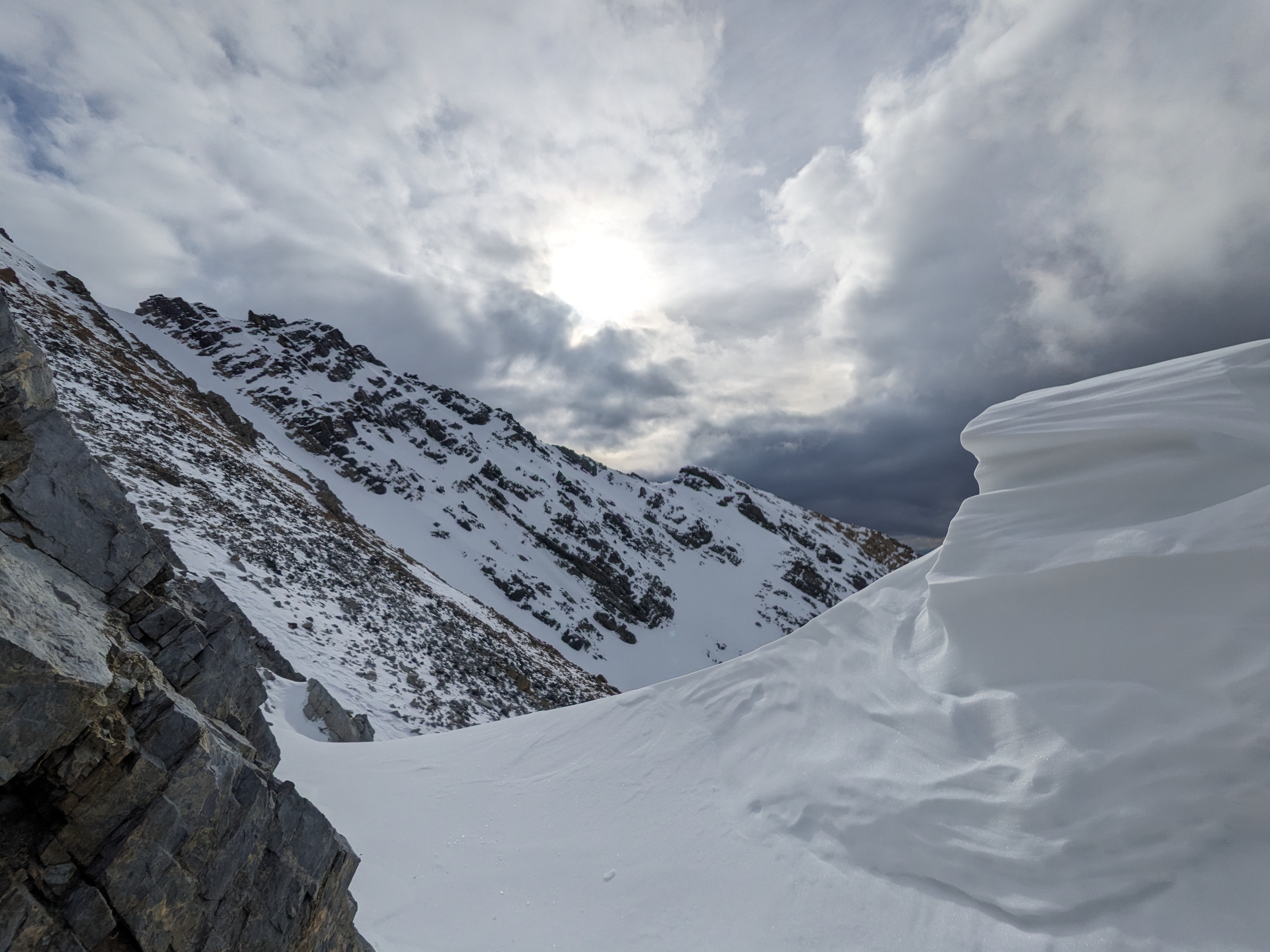
Cloud cover increasing through the day, becoming overcast by mid-afternoon. A few flurries of snow observed in mid-afternoon with no significant accumulation. Temperatures were mild, estimated around 32 F. Steady moderate winds with strong gusts, blowing out of the W
Snowpack
No formal observations, just moving through terrain and looking at the snow as I went. I began to run into patchy snow around 8,500', with more consistent snow appearing by 9,500'. This snow presented as an icy, crusty mass that was well adhered to the ground. On top of this crust and in sheltered terrain, I found an ugly stack (3-5cm thick) of relatively large facets (up to 3mm) with some surface hoar grains mixed in. This combination (weak snow on top of a rigid crust) will certainly be capable of creating avalanches with the right slab on top. As I moved into more winded terrain I found a mix of old, polished, unreactive wind slabs and icy, scoured surfaces. All icy surfaces I encountered were easily edge-able, even with my well-loved rock skis. I was able to break through these hard surfaces with pole probes and aggressive gloved-punching, revealing plenty of faceted snow underneath.
Long story short: plenty of weak snow to be found out there, but decent stability currently due to lack of recent loading. However, I'd expect to see avalanche activity occurring at what is now the snow surface (buried on 11/18 and 19) with a rapid loading event. Thanks to the nature of the weak snow underneath, recent wind slabs may break wider than one might expect.
Avalanche
No recent avalanches observed.