
Quick report
- Cracking
- isolated
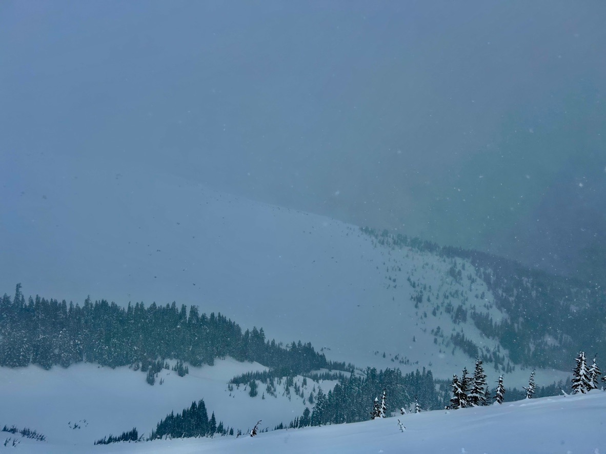
Wet snow problems continue to lurk up to 6000 ft. Above this, new snow and heavy drifting continue to build slabs on leeward aspects that vary in size and reactivity based on elevation.
Instability confined to wind-loaded pockets and steep slopes that hold wet snow.Weather
- Air Temp
- Low 30's
- Cloud Cover
- obscured
- Wind Loading
- moderate
- Rain Elevation
- 5500
- Recent Snowfall
- 20 cm
- Snow Avail For Transport
- large amounts
SW winds and snow showers intensified (S2) during the later morning hours. The precipitation couldn't make its mind up and kept changing from rain to snow, and snow back to rain at our test pit location @ 6000 ft.
Snowpack
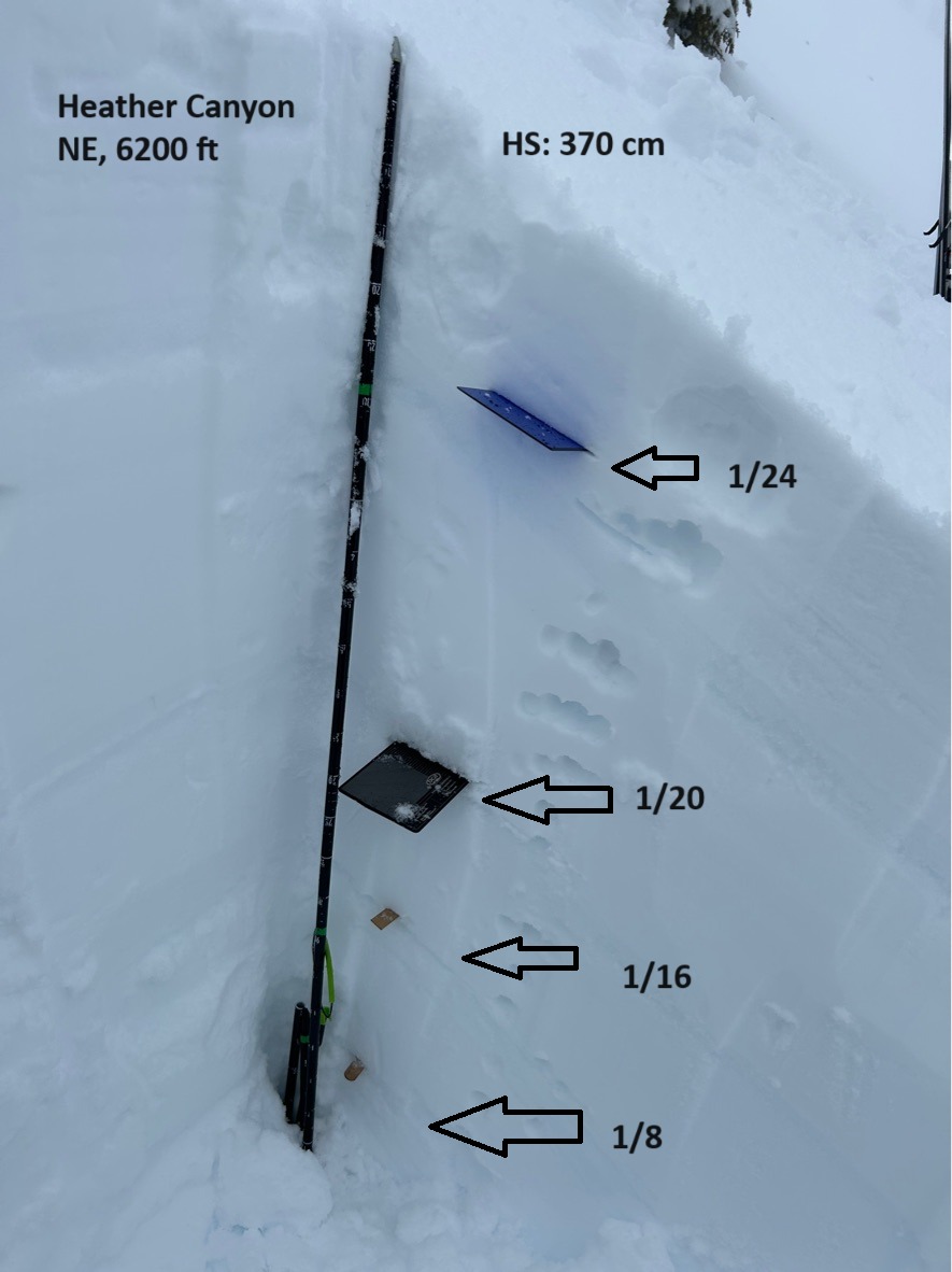
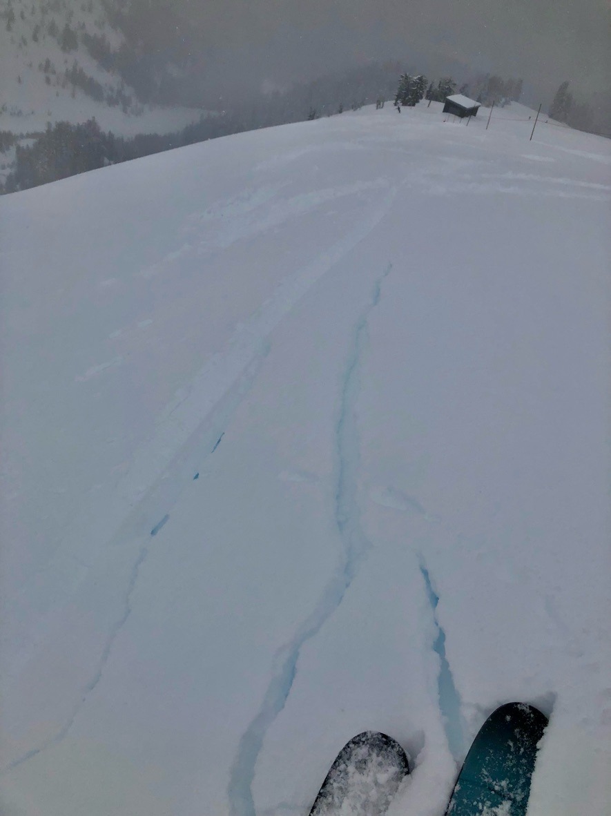
While traveling with patrol, we found wind slabs to be stubborn with ski cuts between 6-6500 ft. These wind-drifted pockets were up to 1 ft deep sitting on the 1/24 crust. Snowpack tests yielded planar results on the 1/24 crust ( 25 cm below the surface) but no propagation. Below this, we didn't observe any notable layers of concern and found a deep snowpack exceeding our probe lengths of 280 cm.
The bigger story was the rollerball situation at middle elevations. These middle elevations ( specifically between 5-6000 ft) have been going through a lot of changes, with fluctuating temps and precip types. We didn't see any wet loose avalanches, but it was something on our mind as snow surfaces become more grabby and wet.