
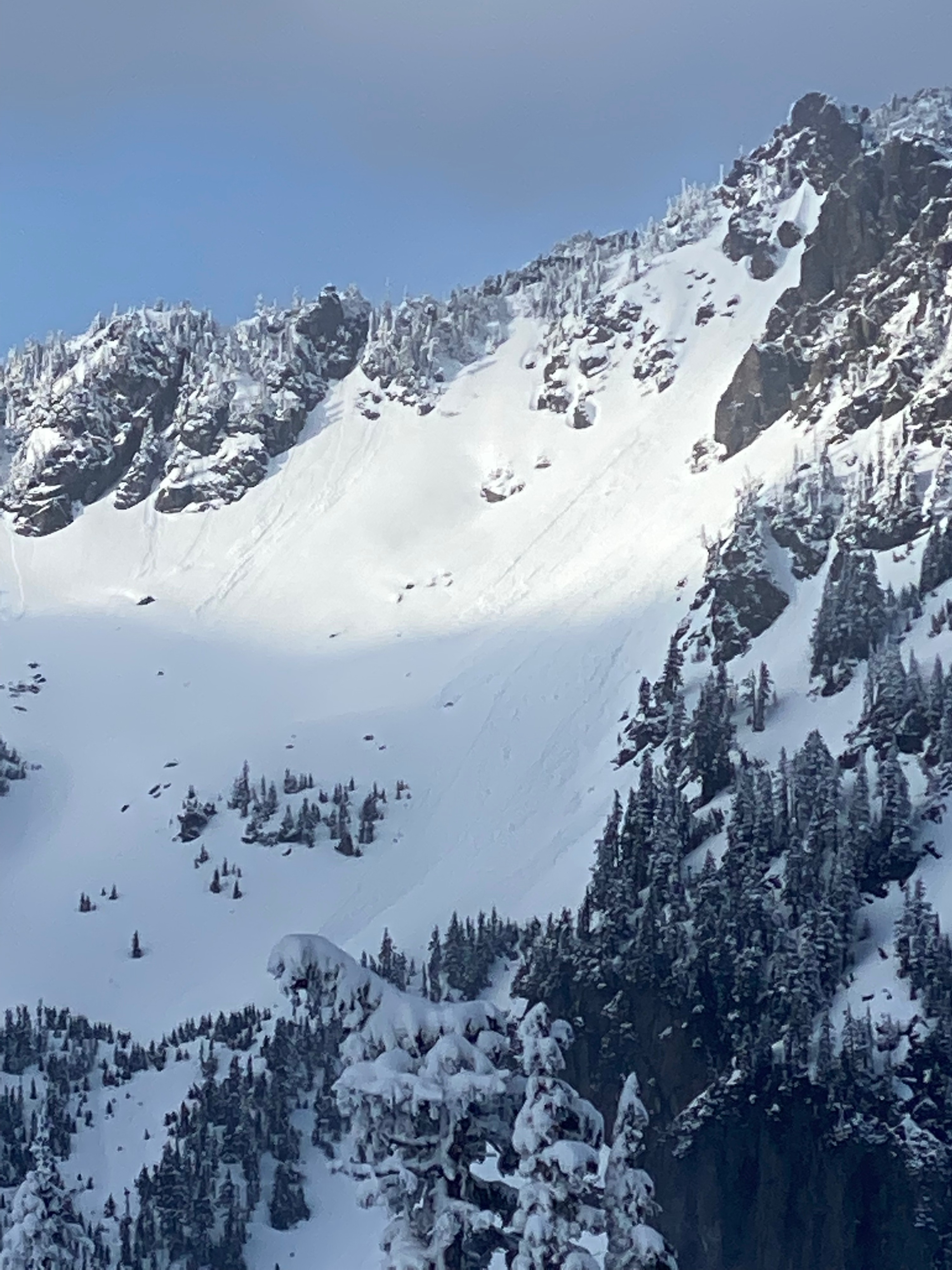
Quick report
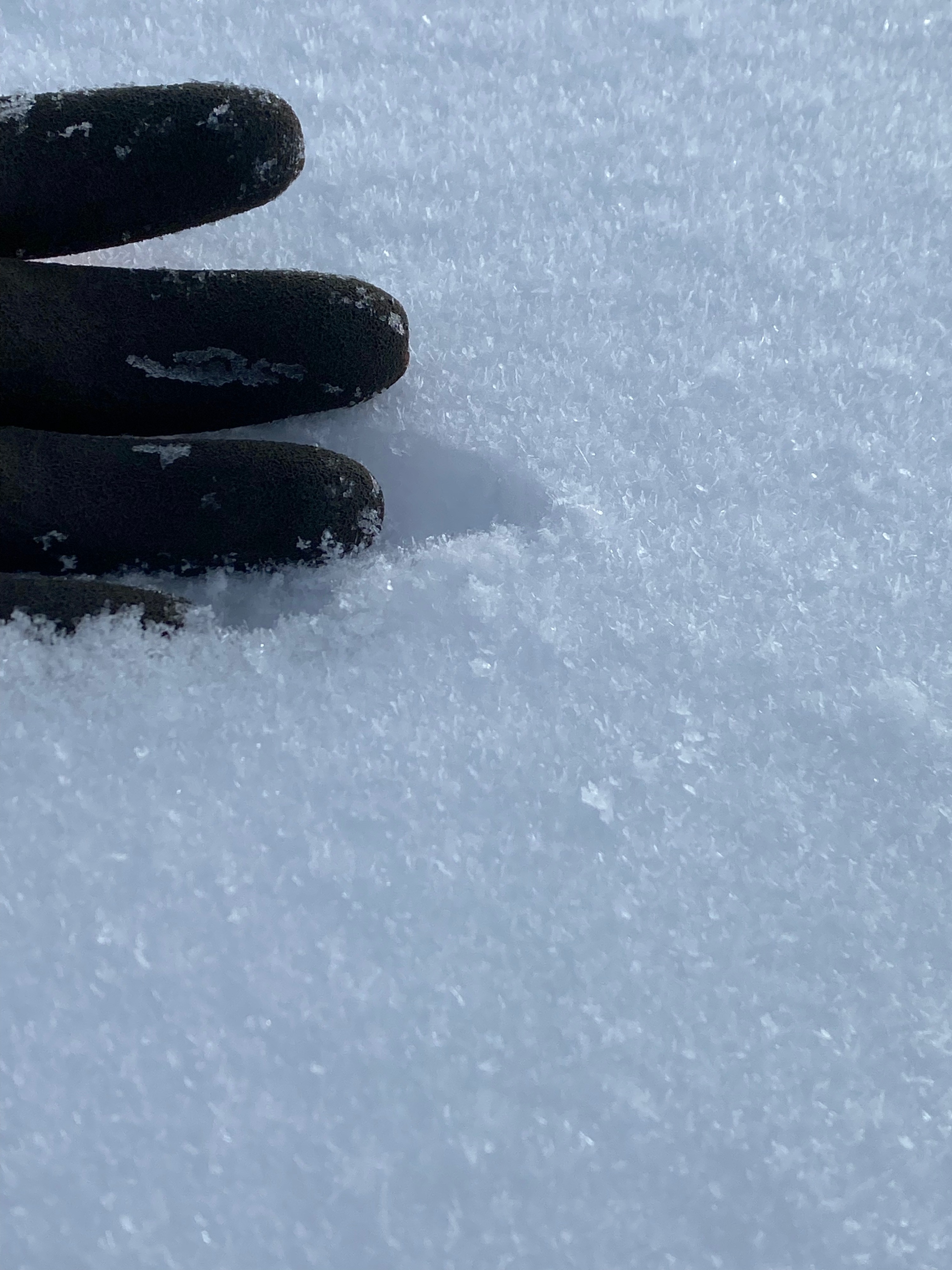
It was great to have some fresh snow on the ground after a pretty long warm and wet spell. The new snow was not sluffing or entraining enough snow to cause larger avalanches and was not consolodated enough to form slabs. The interface between the old and new snow has fair structure but it was hard to tell whether the snow was faceted or rounding. However, the sugary nature of the snow suggests that facets where infact present, this could be a good interface to track as we get more snow next week.
Weather
- Air Temp
- 30
- Cloud Cover
- scattered
- Wind Loading
- light
- Rain Elevation
- 2000'
- Recent Snowfall
- 4"-8"
- Snow Avail For Transport
- moderate amounts
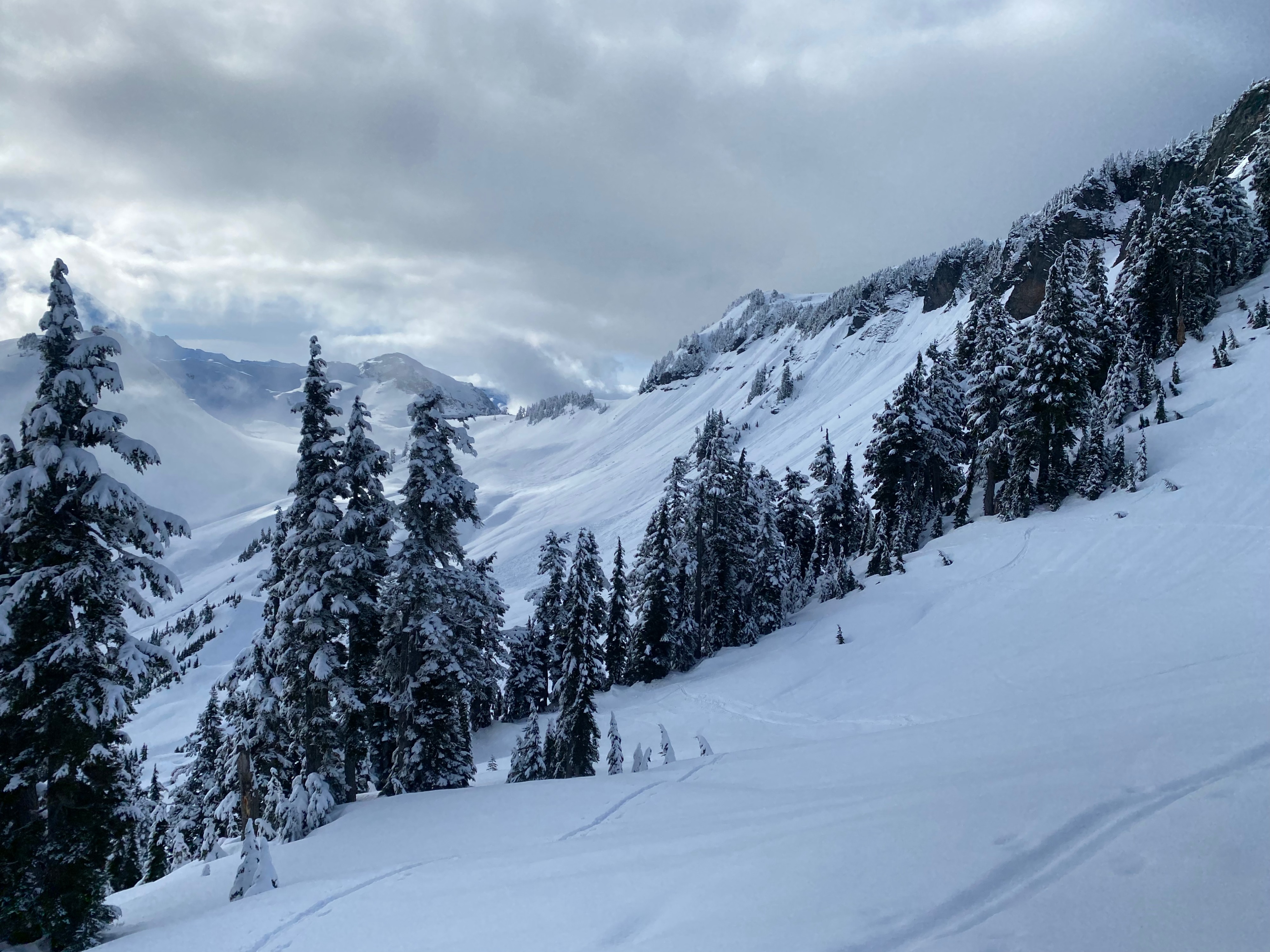
The day started sunny with light cloud cover but by mid day cloud cover increased and visibility and direct solar exposure was in and out.
Snowpack
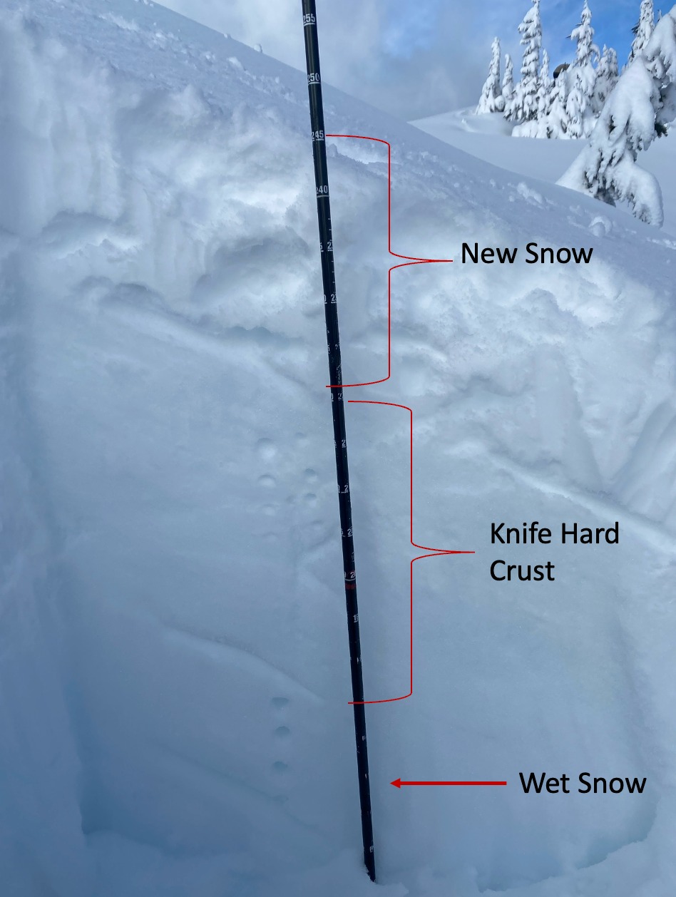
Light new snow is sitting snow atop the stout buried february crust. New snow totals ranged from 6" to 8" from 4200 to 5200'. The new snow was not consolidated and was fairly light. On S/SE facing slopes there is a small (3cm) brittle crust located 2 cm below very light snow. Above 5000' small surface hoar was noted in isolated locations and was blown over on more wind exposed features, such at the top of small terrain rollers. In some locations sugary snow marked the interface between the new and the old snow which is sitting on top of a 1 a knife hard 1' -1.5' thick crust. Below the crust the hardness of the snow decreased and was still wet from last weeks atm river event. This structure was similar from 4600 to 5200'.
Avalanche
Small dry loose at upper elevations and west loose by the end of the day on south to east aspects.