
Quick report
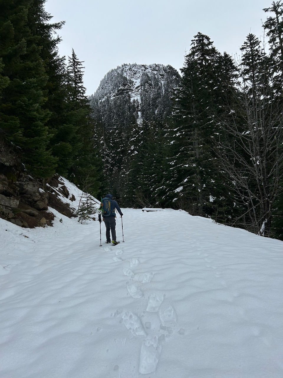
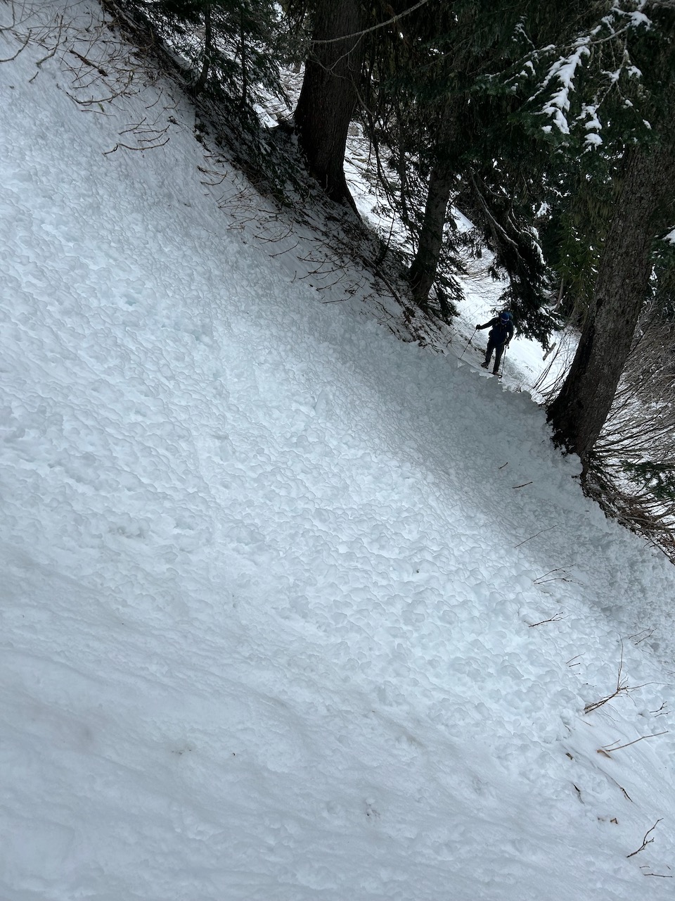
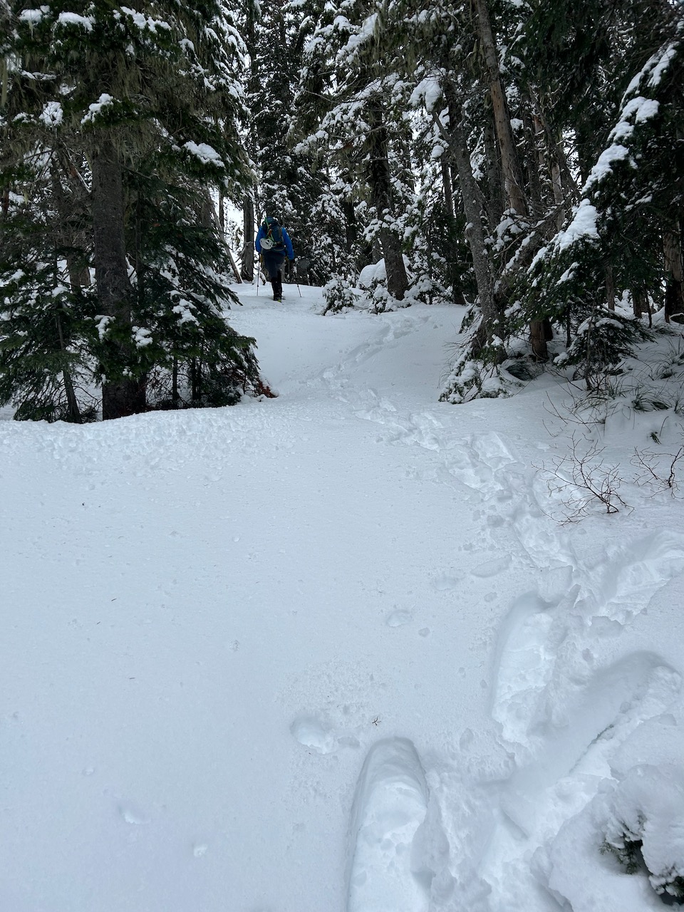
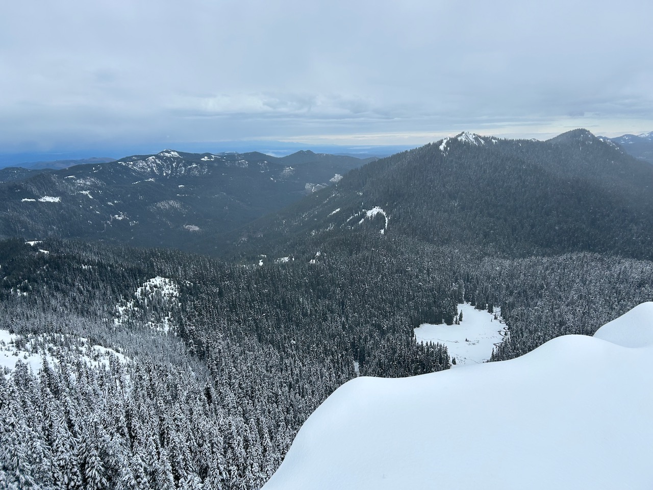
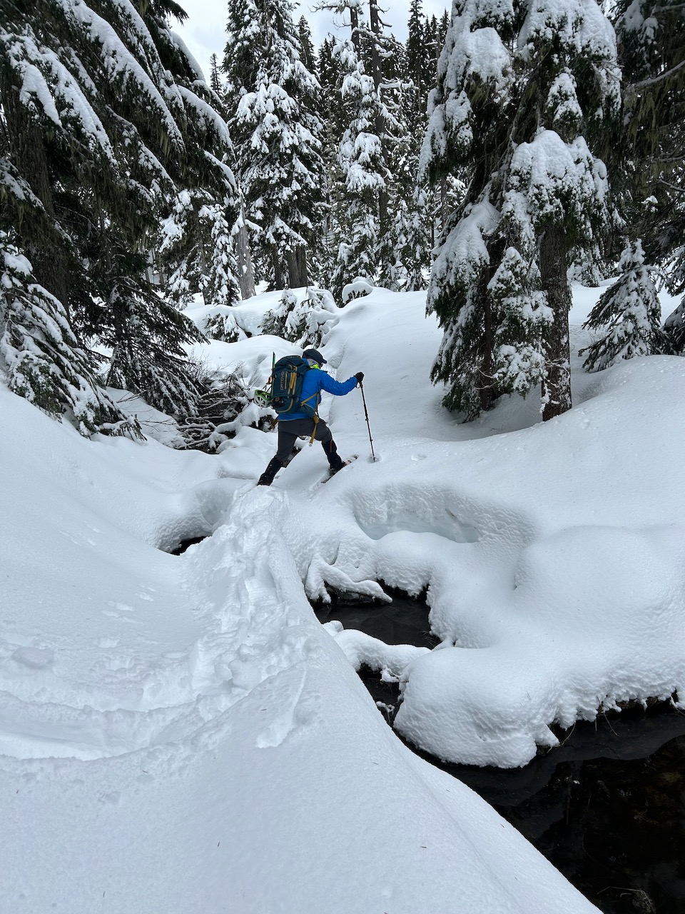
Pushed bikes from SR-7 up to ~3.4k' over multiple washouts on the road. Snow at ~3.4k' was trace at first, but deepened in the open to up to 6" as we got closer to the Mt Beljica TH. Snowpack was solid under the trees thanks to rain shadows. The traverse to Lake Christine with annoying without technical crampons due to recent slides going down to Cascade Concrete. Was not concerned about overhead hazards, but was concerned about uncontrolled slides. Technical crampons and axes would have been really nice for this section. At the lake we ran into softer powder (poss. windswept). Some superficial surface layer soft slabs (<1/4" thick). Walking around the lake was more difficult because of deeper snowpack & steeper angled terrain near some terrain traps. The lake was partly visible & depressions at lakeside were visible. Way up to summit was low risk and to mitigate some concerns we avoided going up loaded slopes with long falls (was concerned about uncontrolled slides and/or triggering lower weaker layers). Wind was strong at the summit. It felt like ~20mph sustained with gusts up to 30~35mph. Snow started falling at SR-7 right as we got back to the car at ~5pm.
Avalanche
Saw a large stretch of natural D1~D1.5 debris piles along the traversing along NW facing cliffs on Lake Christine Trail. The debris piles looked several days old. The avalanche ran on the last weak interface. The base snowpack was near bulletproof Cascade Concrete. There was near zero purchase with boots/non-technical crampons and non-technical snowshoes.