
Quick report
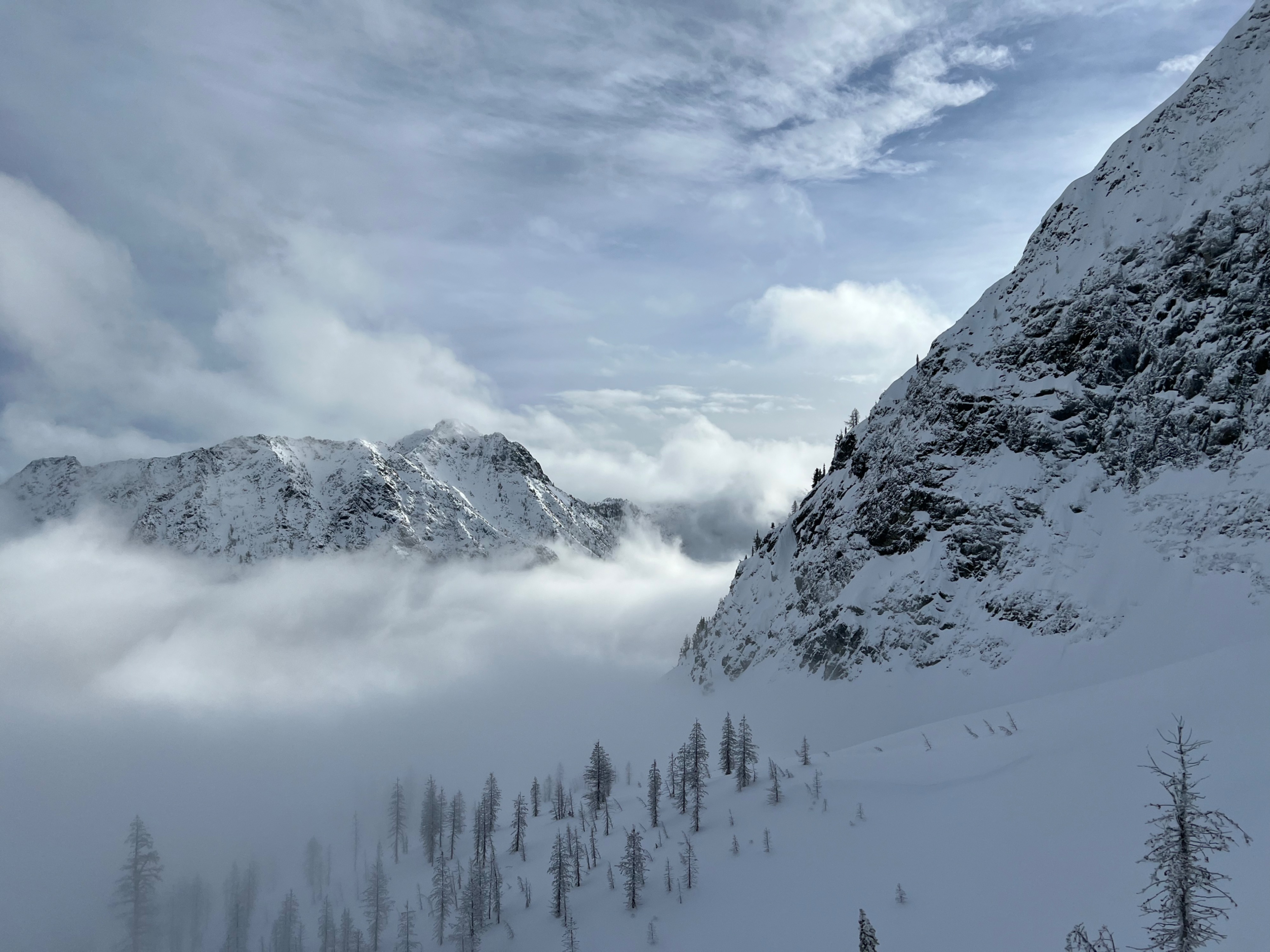
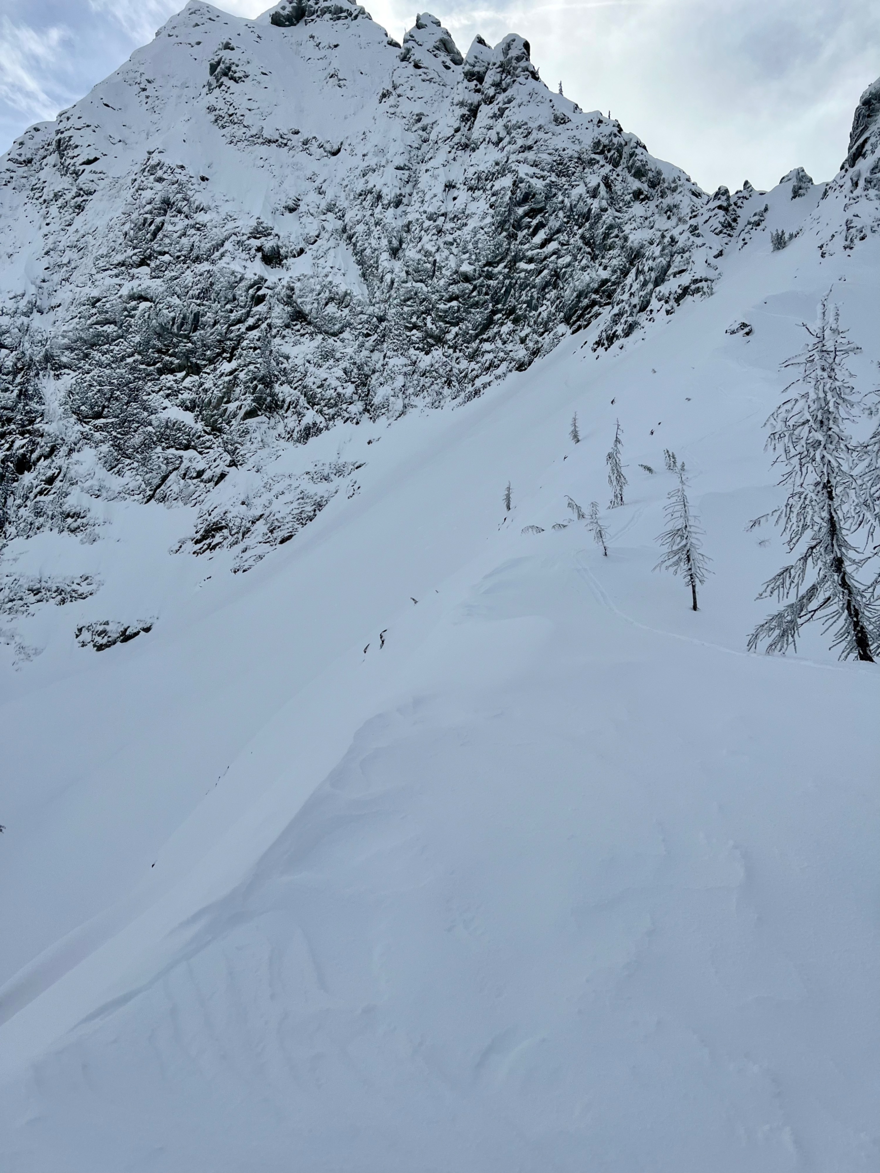
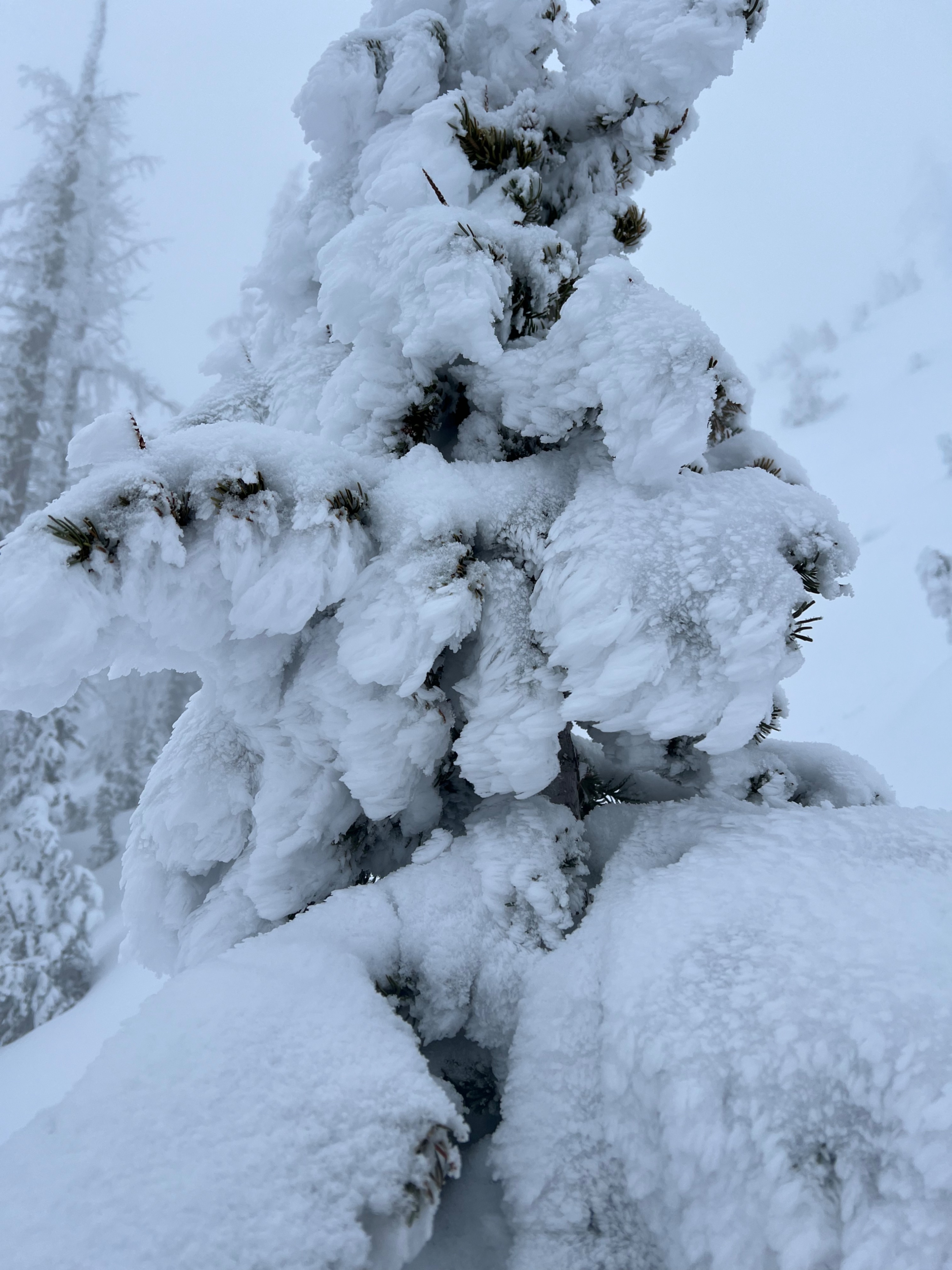
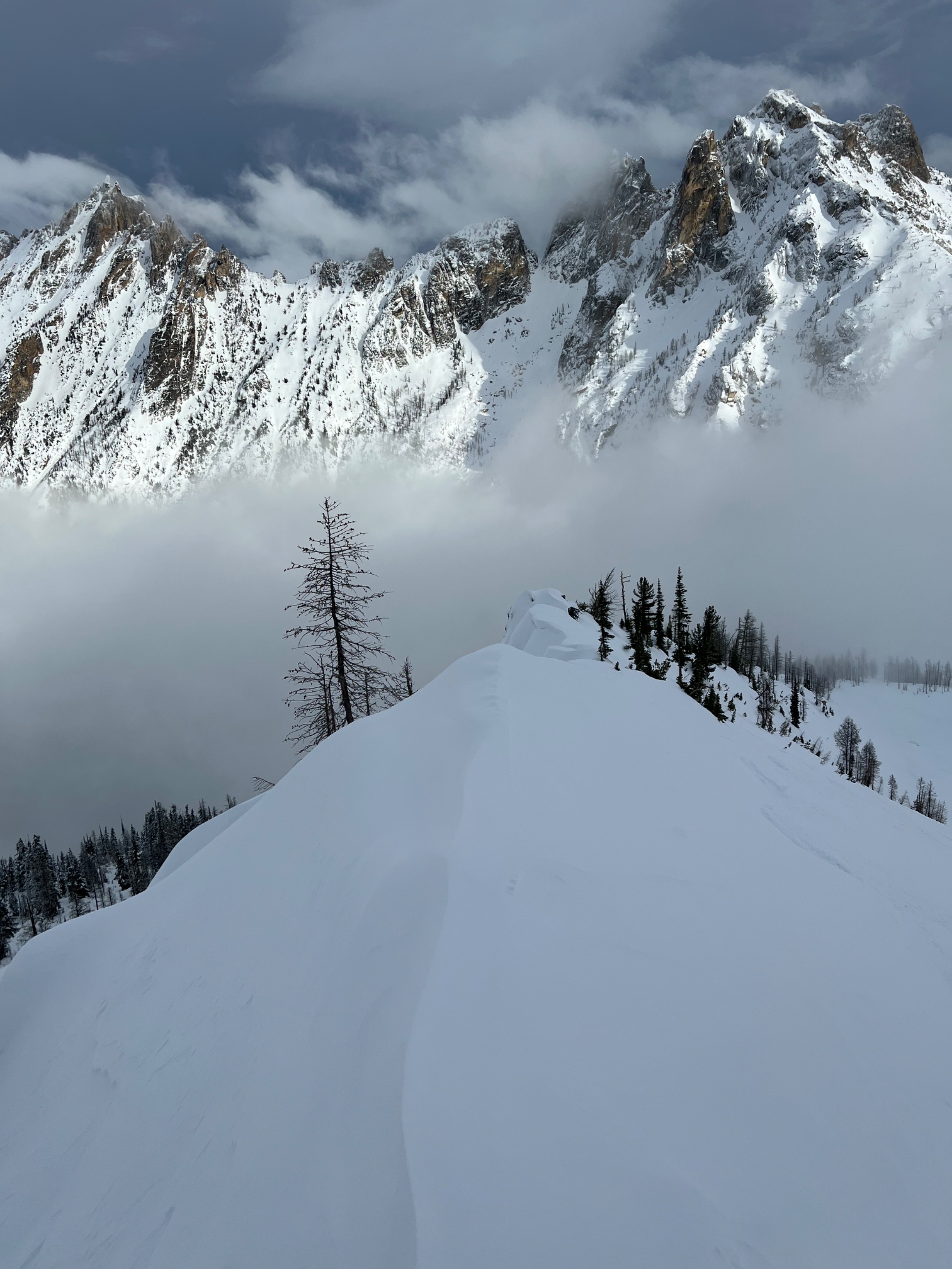
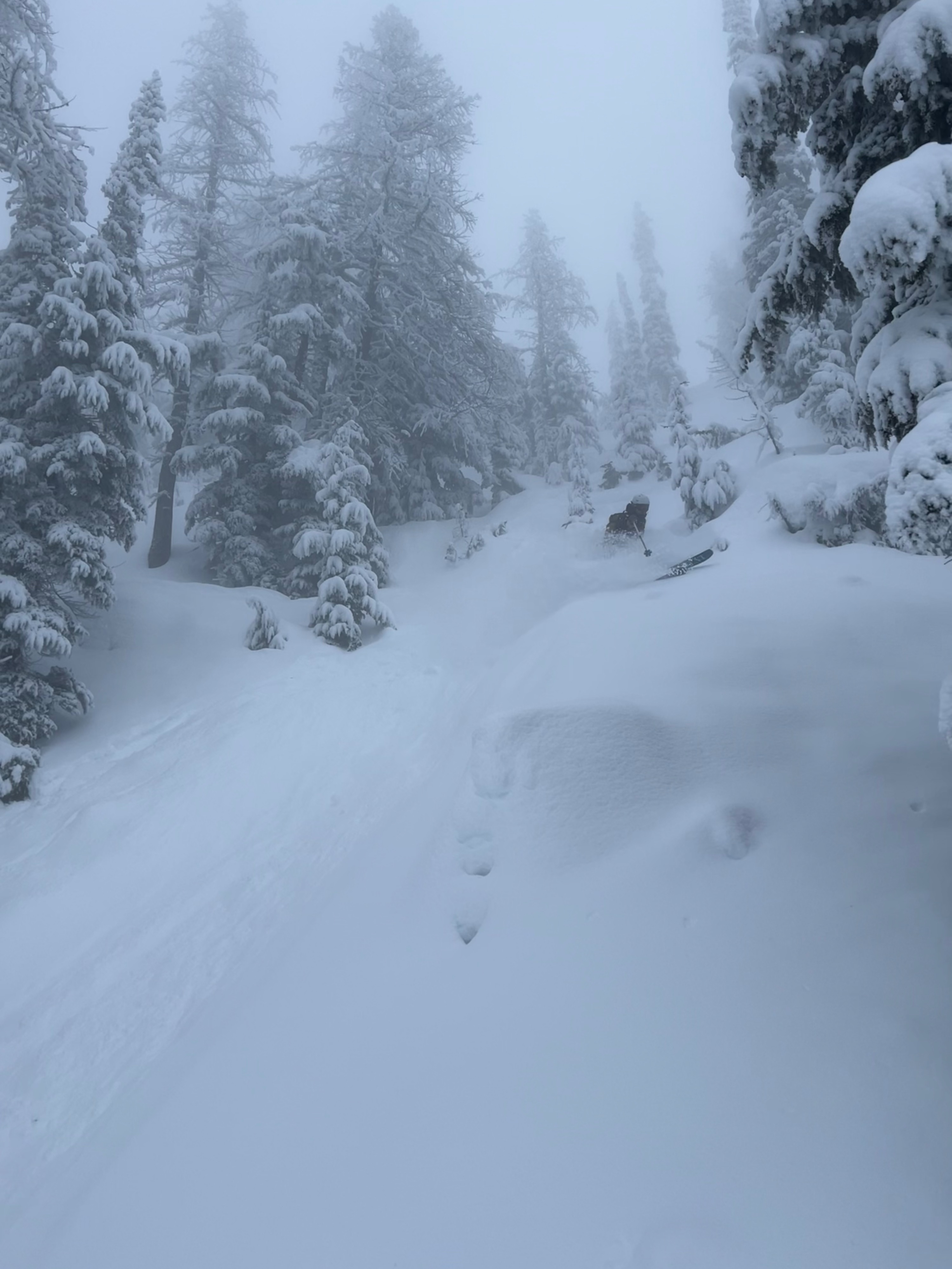
We toured through the hairpin valley and observed ridgeline terrain at 7300'. Local enthusiasts and fellow young snow pros were out enjoying the slightly warm pow. We didn't observe any red flag signs of instability where we travelled. The snow surface had a thin rime ice layer forming in the presence of cool humid east flow. No snow moved in moderate east winds. Skiing the ~20cm of snow snow atop the Dec. 10th crust was enjoyable.
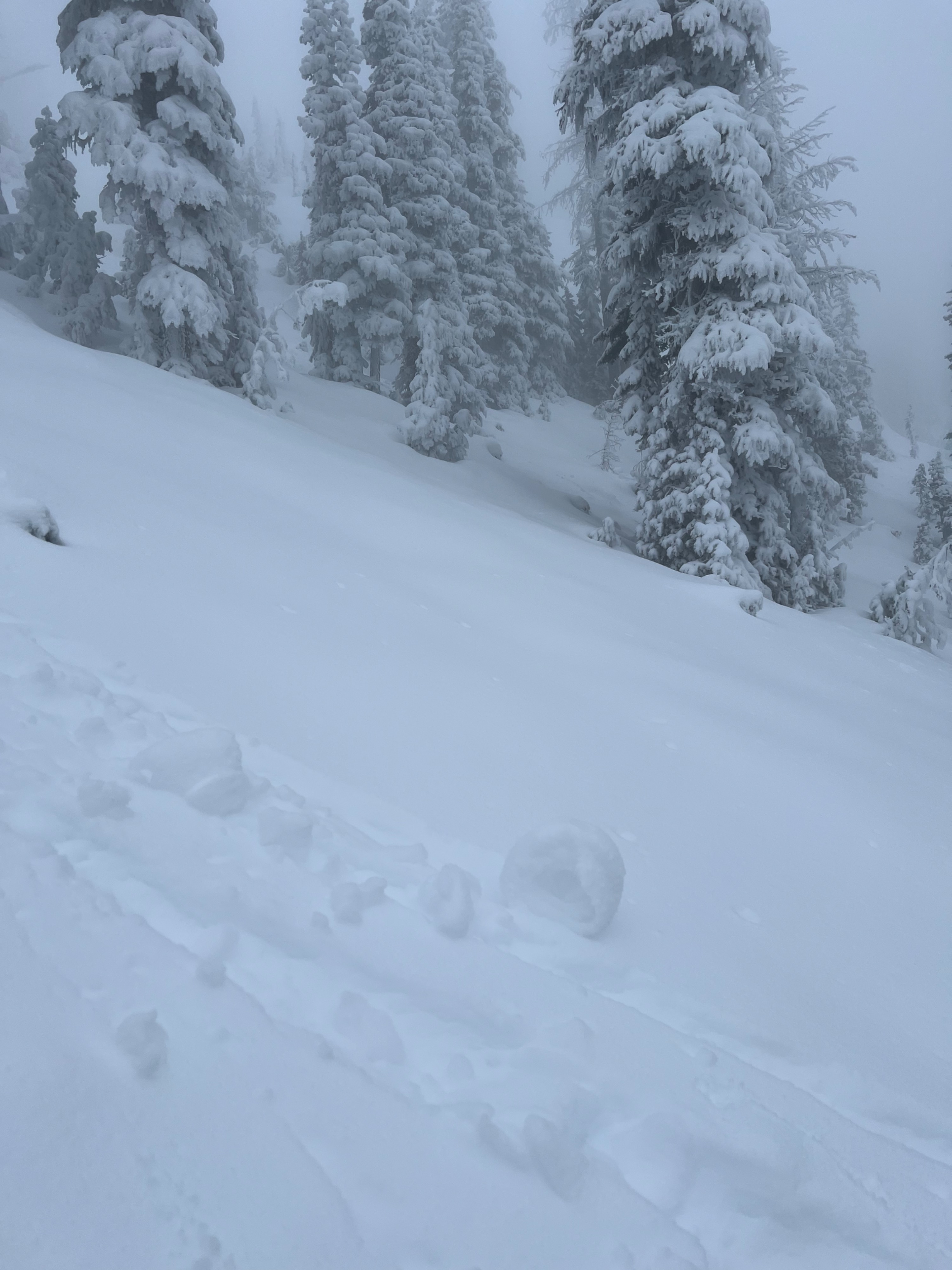
Along more wind affected ridges, small 4-6" cracks would appear in the surface snow with ski cuts, but nothing moved. Small moist roller balls were seen in mid elevation terrain.Weather
- Air Temp
- 31
- Cloud Cover
- broken
- Wind Loading
- none
- Recent Snowfall
- 5
- Snow Avail For Transport
- none
We found below freezing temps and fog lower in the valleys with warmer air at mid elevations. The lower cloud deck was around 5700' in the Hairpin Valley with dead calm wind. Visibility was often poor. At 6700' the coulds broke occationally with patches of blue skies and moderate East Winds.
Snowpack
Surface-
The snow surface has warmed especialy at mid elevations. A thin layer of rime ice has formed on the snow surface in areas exposed to cold and humid East flow.
Upper snowpack-
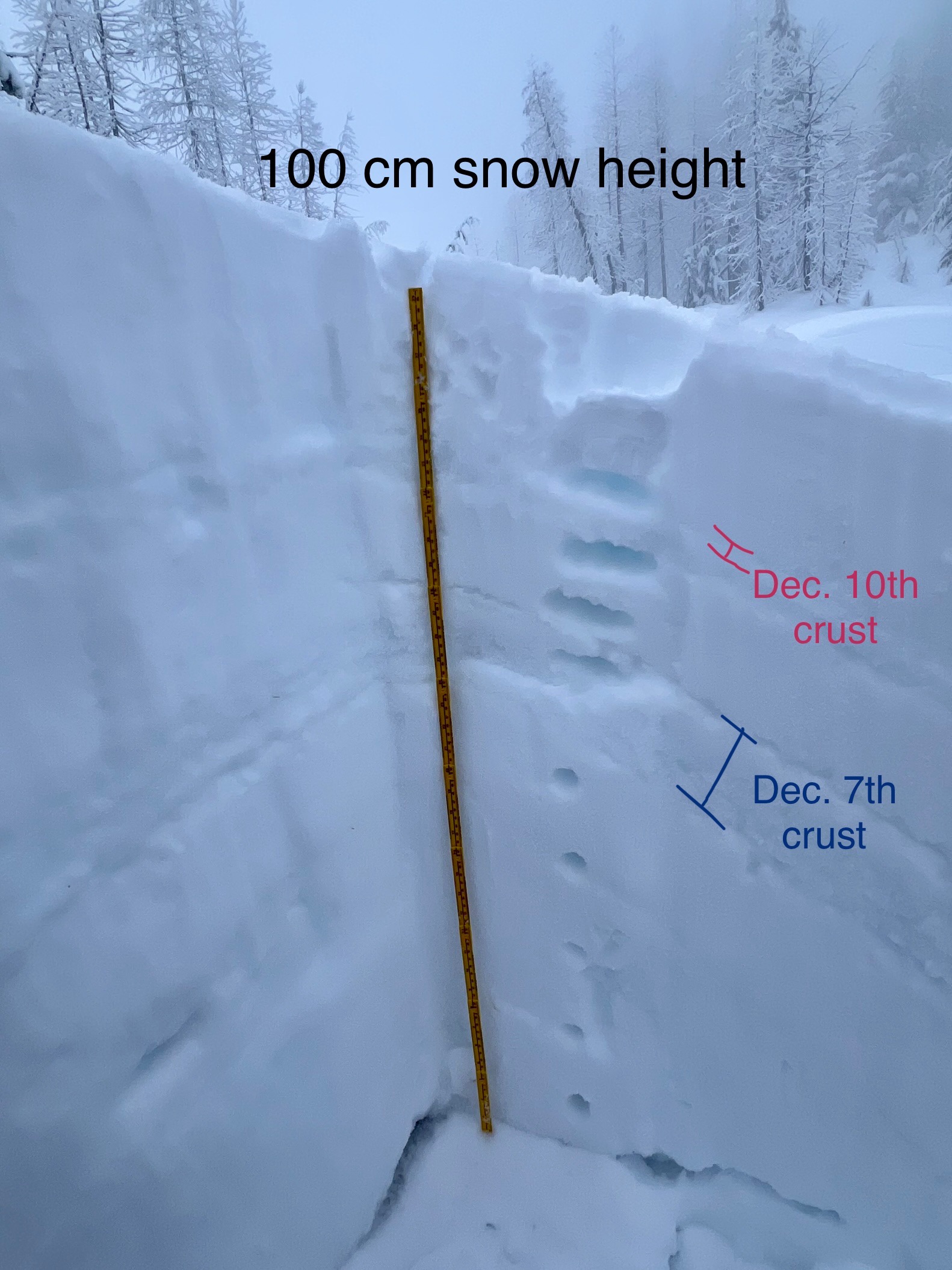
There is 10 to 25 cm of variably wind affected snow sitting atop the Dec. 10th crust. This snow pulls off the Dec. 10th crust with moderate force. In a compression test at 6260' on a N aspect we found 'resistant planar' results here.
Middle snowpack-
In the mid snowpack the stout Dec. 7th crust is hard to miss.
Lower snowpack-
In deeper pits, at a meter or more, the lower snowpack is rounding and '1 Finger' hard. If you dig into shallow snow at upper elevations you can find lower density snow that has faceted at the bottom of the snowpack.