
Quick report
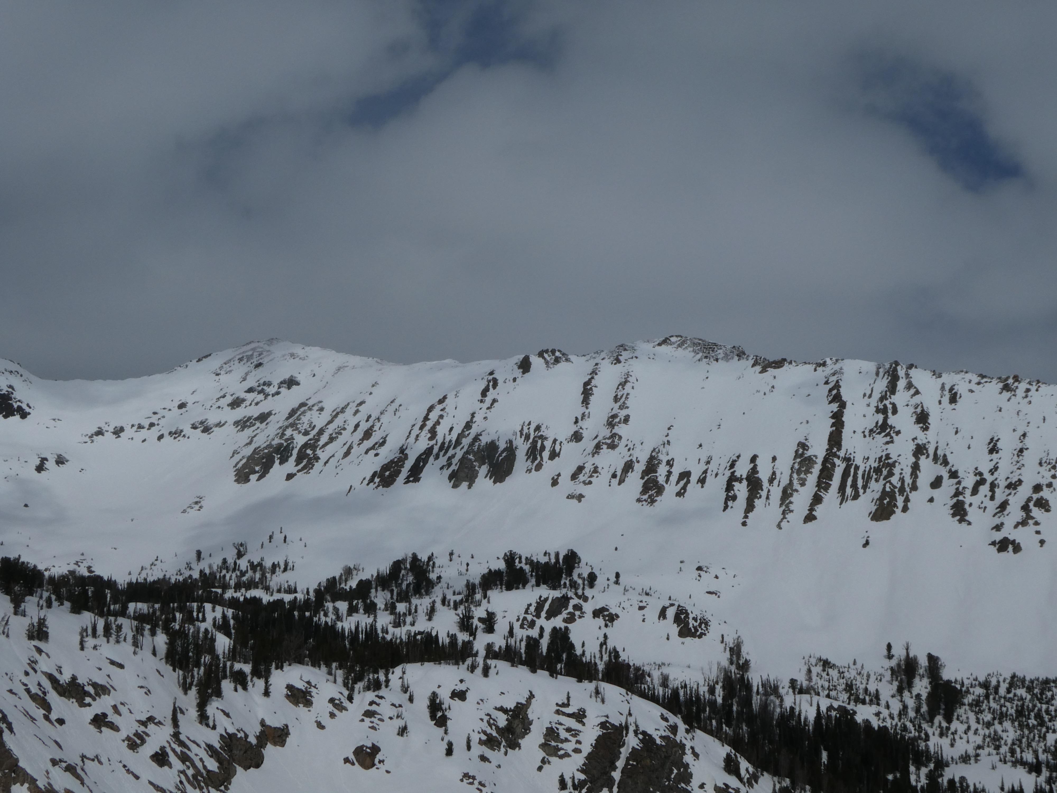
We rode in a lot of terrain today and had little concern about wet snow avalanche problems. A few days of freezing temperatures have locked up the upper portions of the snowpack. The only dry snow we found today was due north above 10,000'—however, this was still capped by a stiff, thin crust. Overall, conditions were generally stable. We found about 1-2" of new snow from the past few days of squalls. Winds haven't moved this snow, and mostly cloudy skies kept this new snow from wetting above about 8500'. Below 8500', surficial crusts broke down by this afternoon, and we found a wet, mushy snowpack the lower in elevation we traveled.
Weather
- Cloud Cover
- scattered
- Wind Loading
- none
- Recent Snowfall
- 2-4
Partly cloudy skies this morning increased to mostly cloudy this afternoon. Winds were calm to light.
Snowpack
We didn't dig today. but poking around in hand pits or walking around any surface we traveled on had a stout crust above the snow below. On due north at 10,000', the snowpack remained surprisingly dry 20 cm below a series of surface crusts. Deviating either to the NE or NW wasn't the case, with thicker, stiffer crusts and a more deeply wetted snowpack. Shallow solar slopes, have established good drainage, and have begun to dry out.
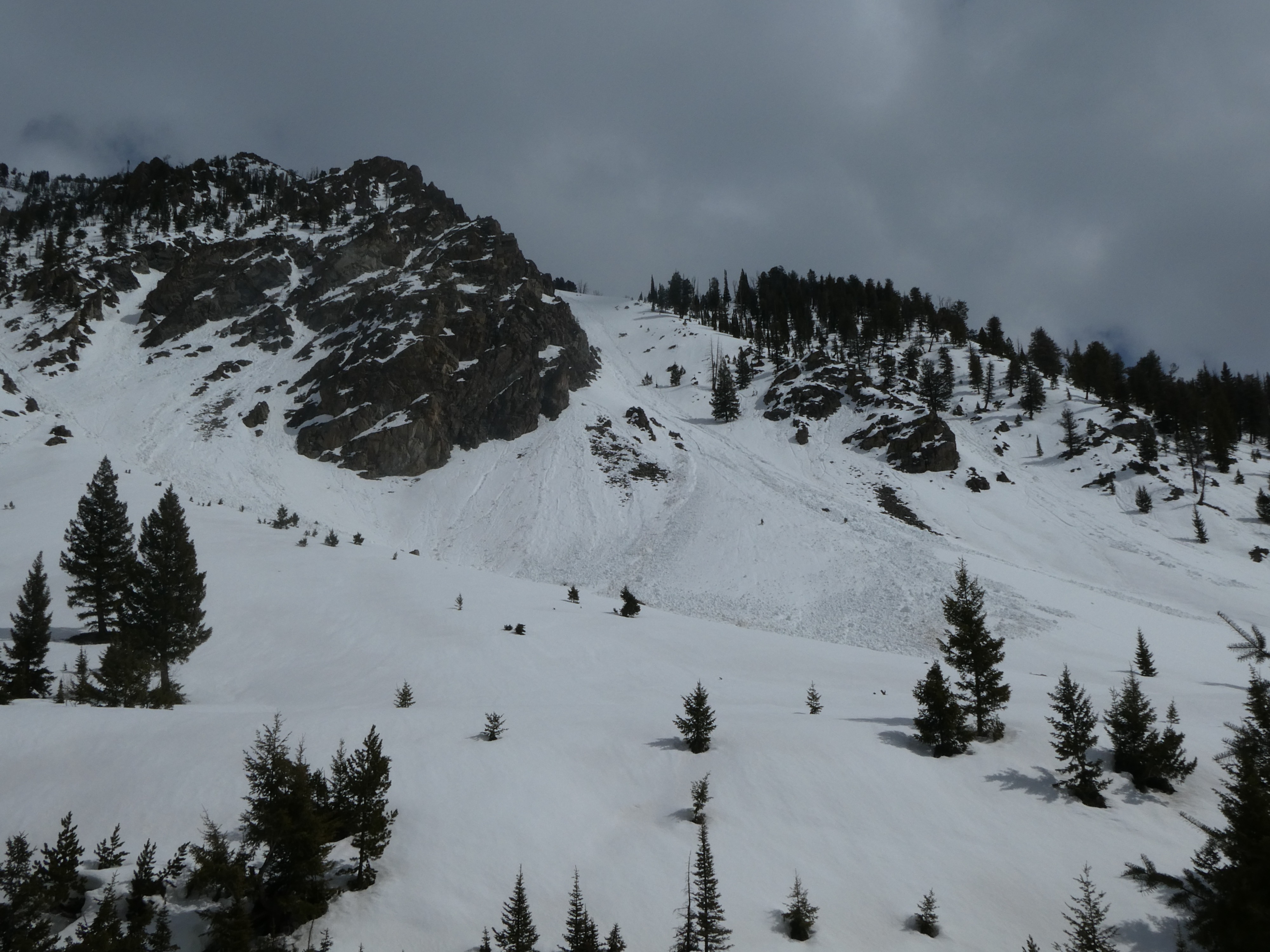
The big surprise was the overall lack of recent wet loose activity in steep souths, either generations of wind slabs or previous warm spells seemed to keep these slopes near 10,000' from shedding compared to similar slopes below about 9500'.
Avalanche
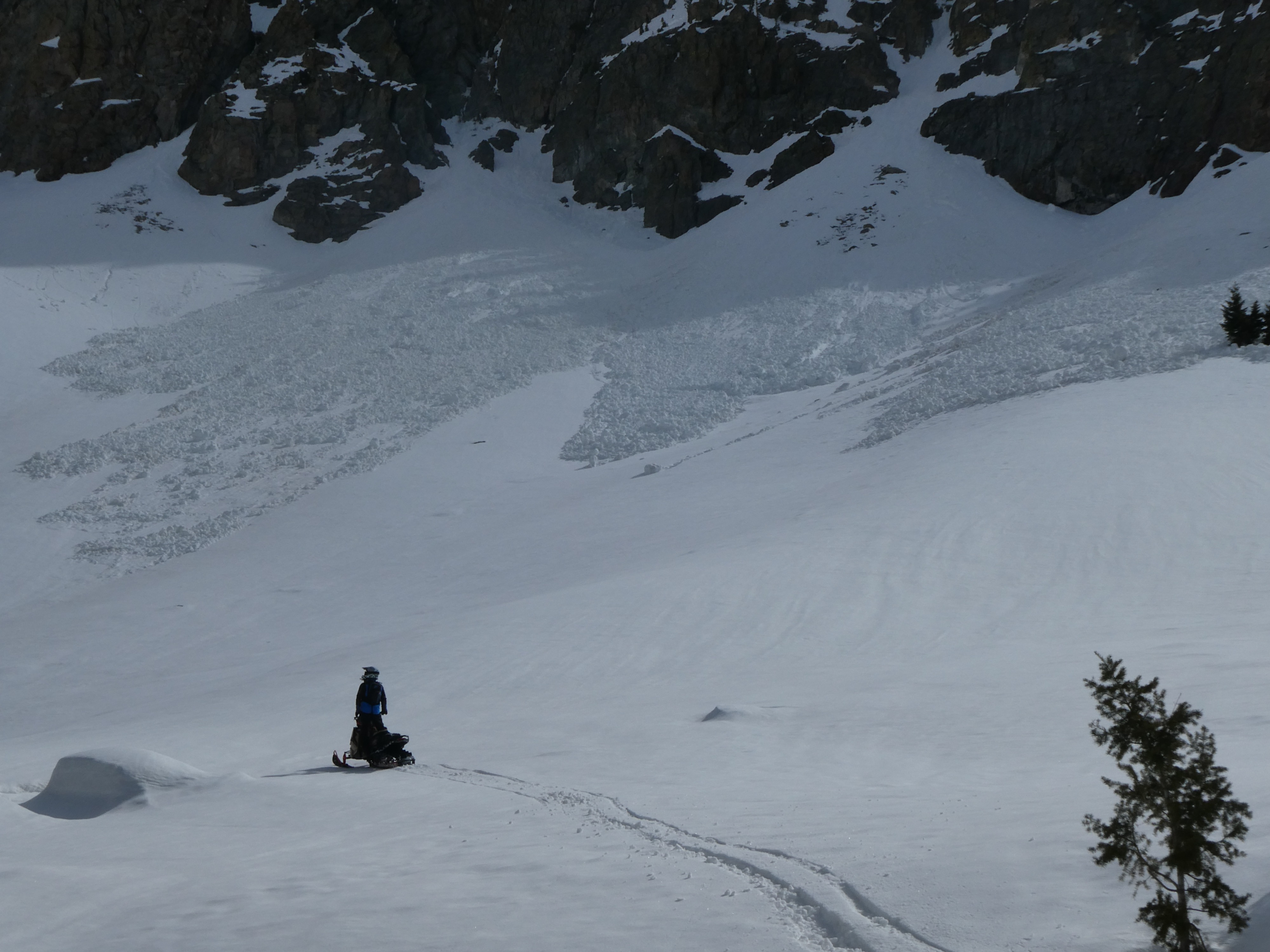
Widespread wet loose and a few gouging wet loose on many slopes in the Boulder Creek drainage. There was less activity in the basin proper. None of these slides were recent and likely happened during last week's warm spell.