
Weather
- Air Temp
- 40
- Cloud Cover
- broken
- Wind Loading
- none
- Rain Elevation
- somewhere above 9,500'
- Recent Snowfall
- 0
- Snow Avail For Transport
- none
Following about 0.1 inches of rain earlier this morning, we encountered a few short periods of very light rain during the early afteroon hours.
Snowpack
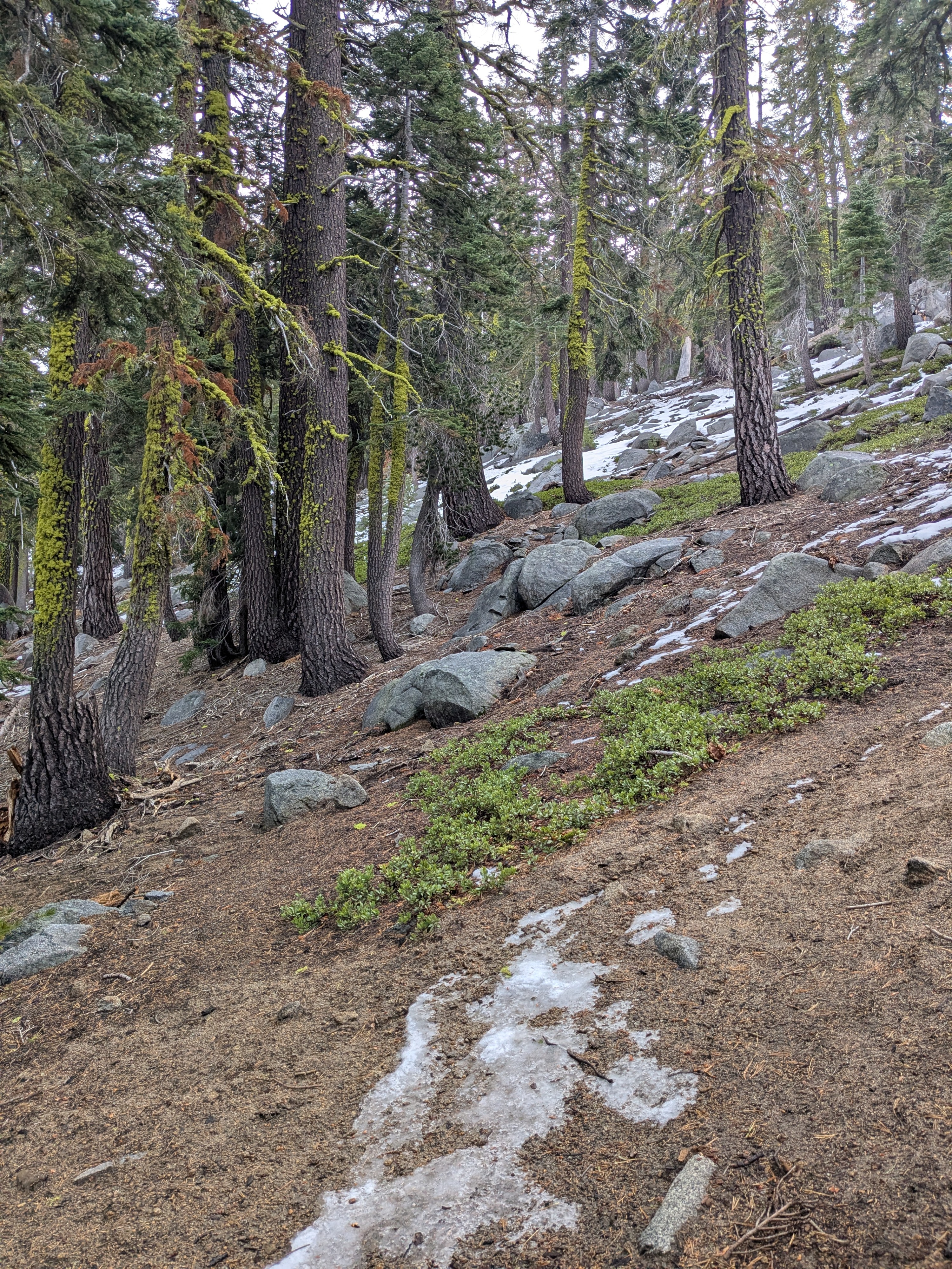
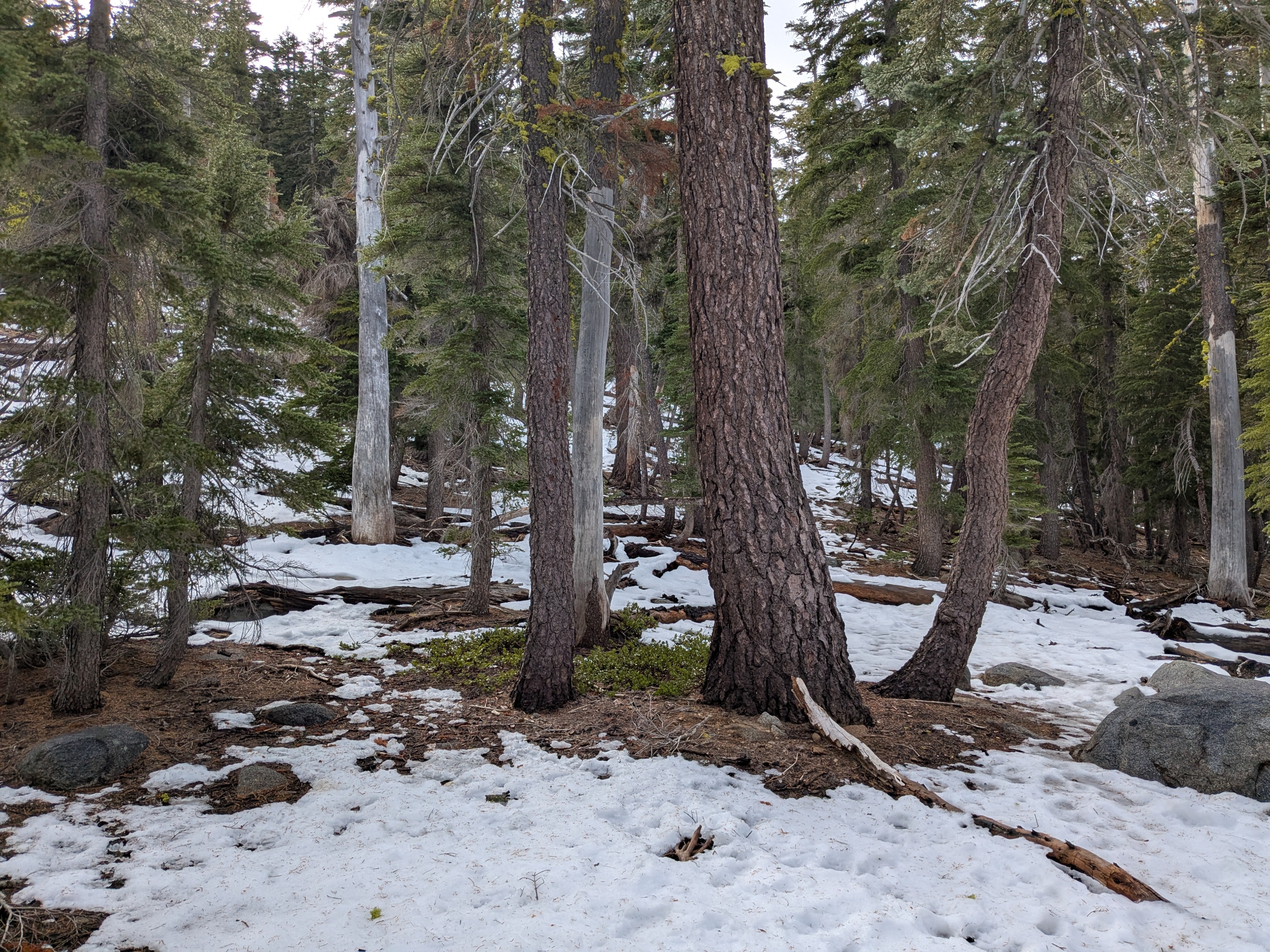
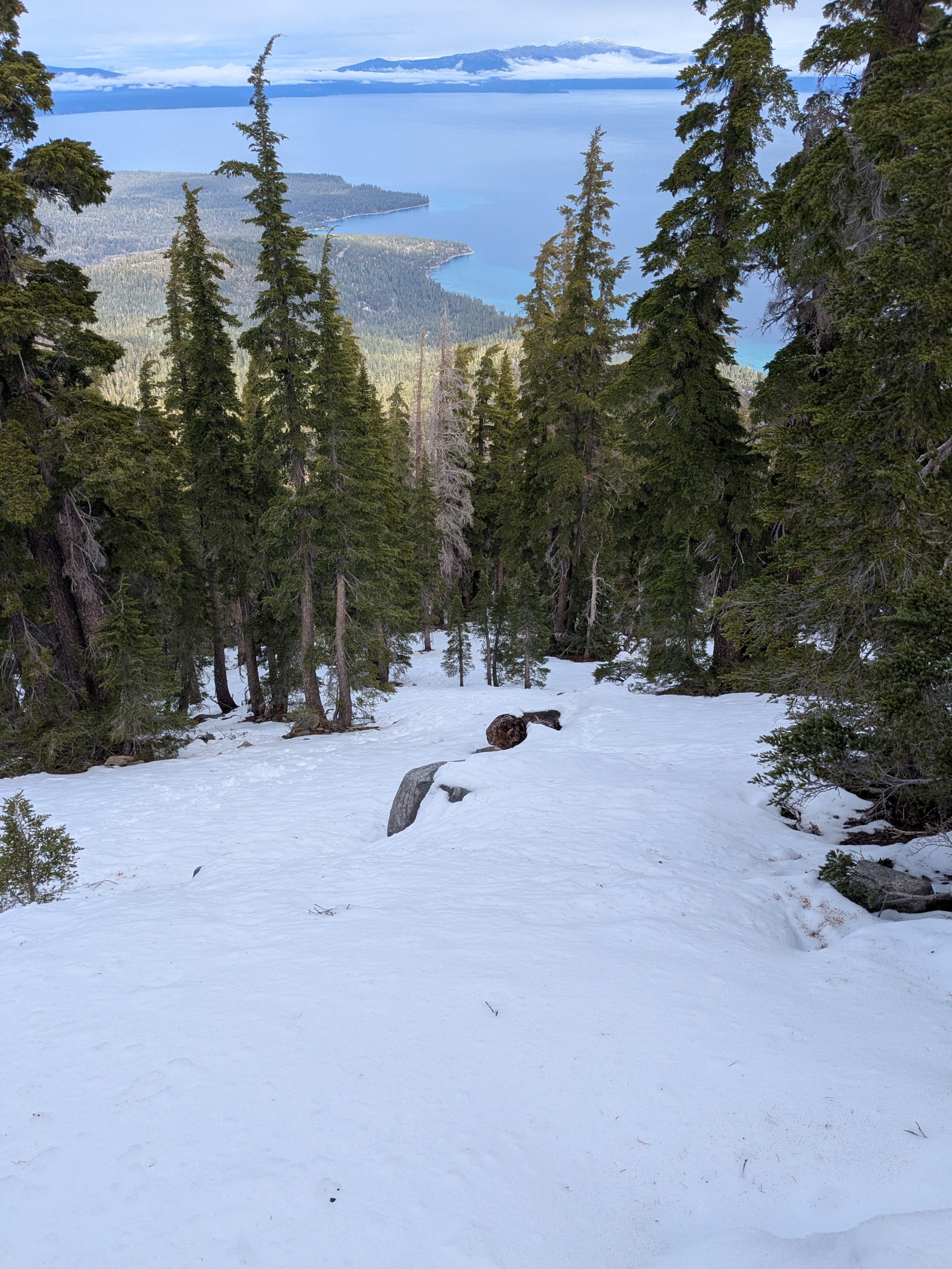
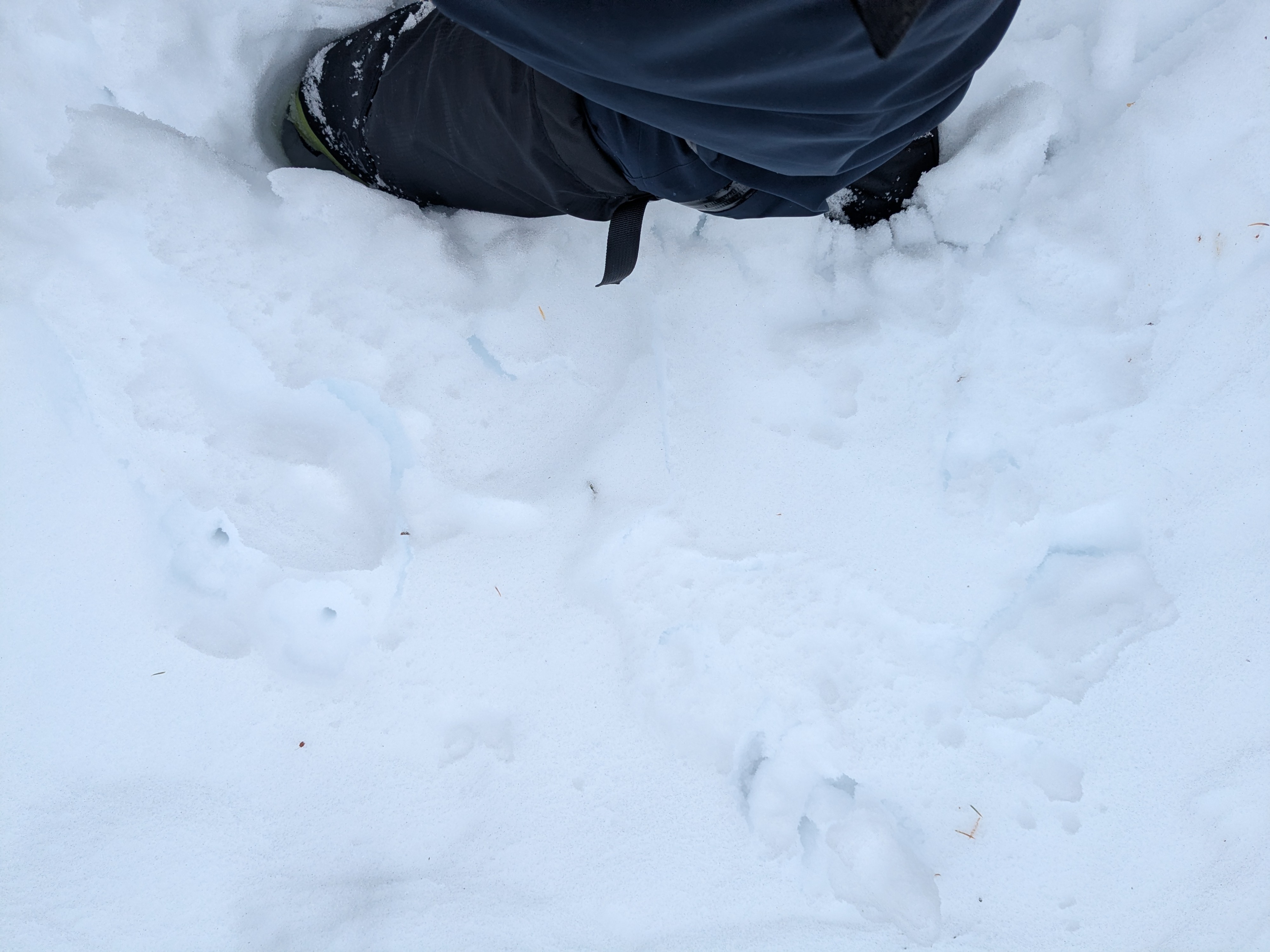
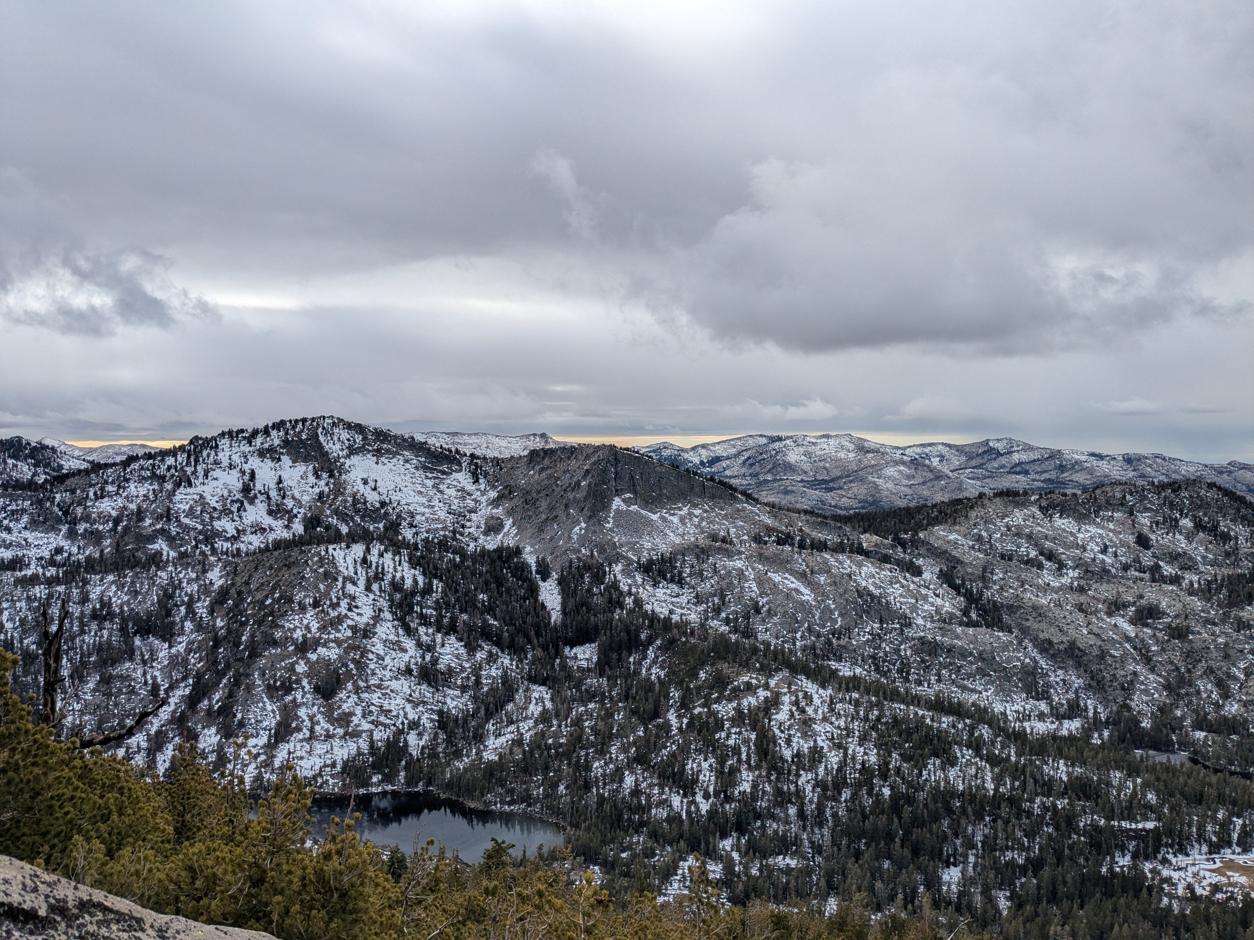
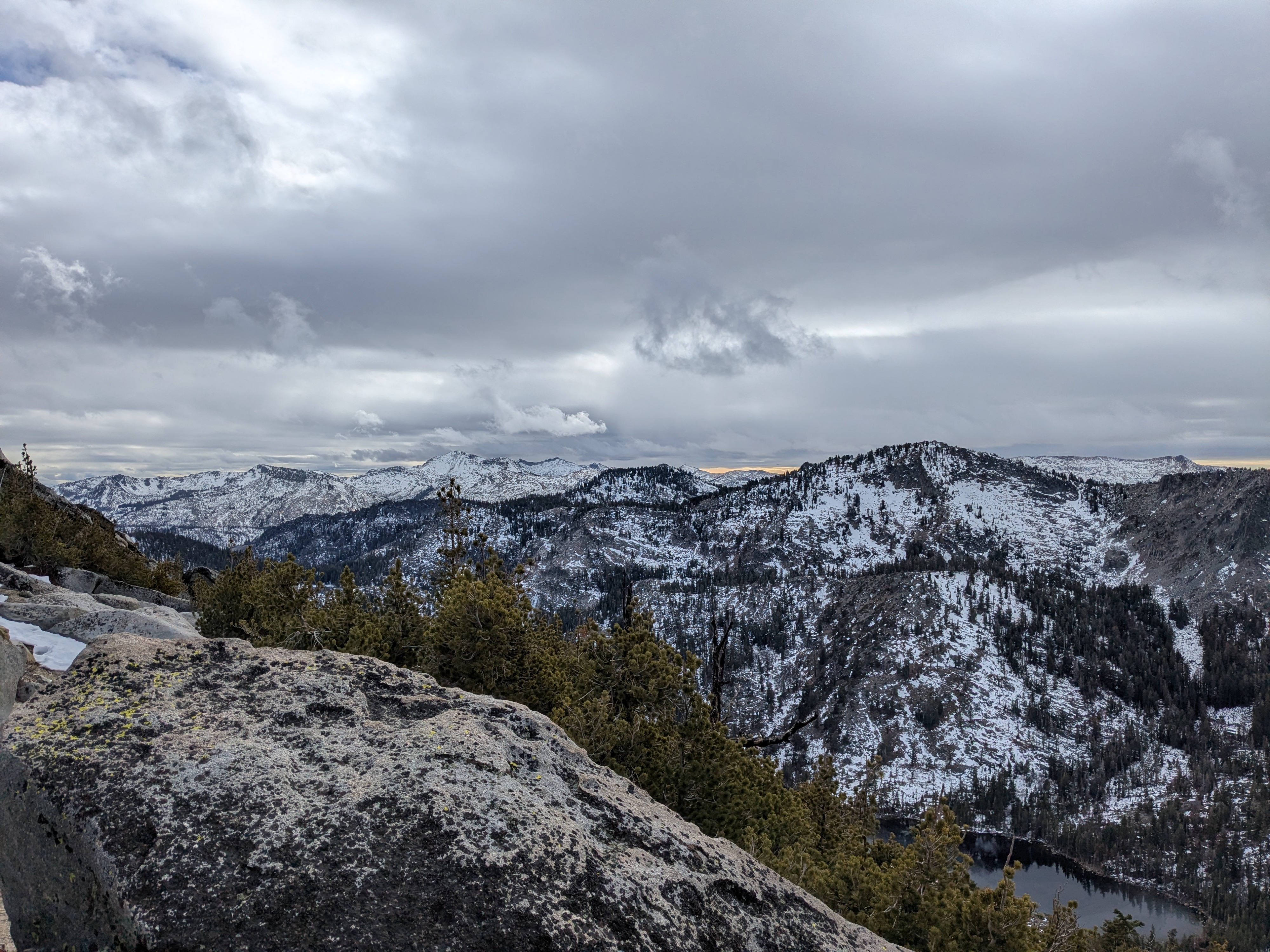
We hiked the north side of Rubicon Peak this afternoon. The decrease in the amount of snow cover that has occurred in this area below 8,300' over the past two weeks is significant. At 8,300' and higher, there has still be a loss of snow cover, but it is less pronounced. Ascending to 8,000' there were numerous areas of bare ground. Once above 8,300' we encountered continuous snow cover, becoming deeper above 8,500. The max snow depth we encountered was around 9,000’ at 1.5 to 1.75 feet.
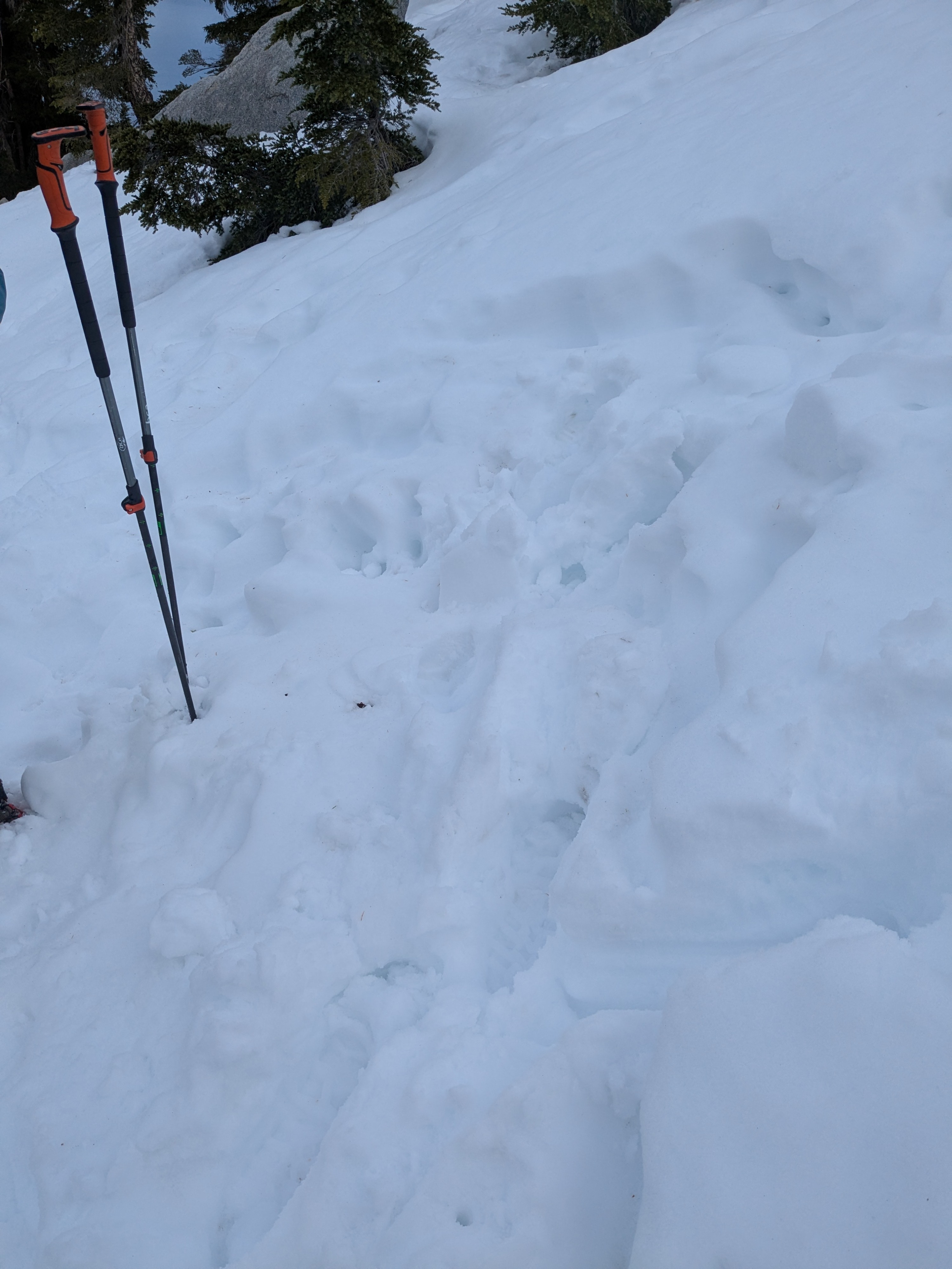
Significant increases in moisture content have occurred throughout the snowpack in this area. What were dry or dry to moist facets are now moist to wet, having very much a wet snow feel at all heights in the snowpack. Large grains still exist in the snowpack but are moving towards rounded polycrystals. Only the top 1 cm of the snowpack had been wetted by rain today.
On our descent, the top 4 to 6 inches of the snowpack showed indications of the potential for wet loose avalanches. We did not have any terrain in the area steep enough to allow wet snow to slide downhill.