
Quick report
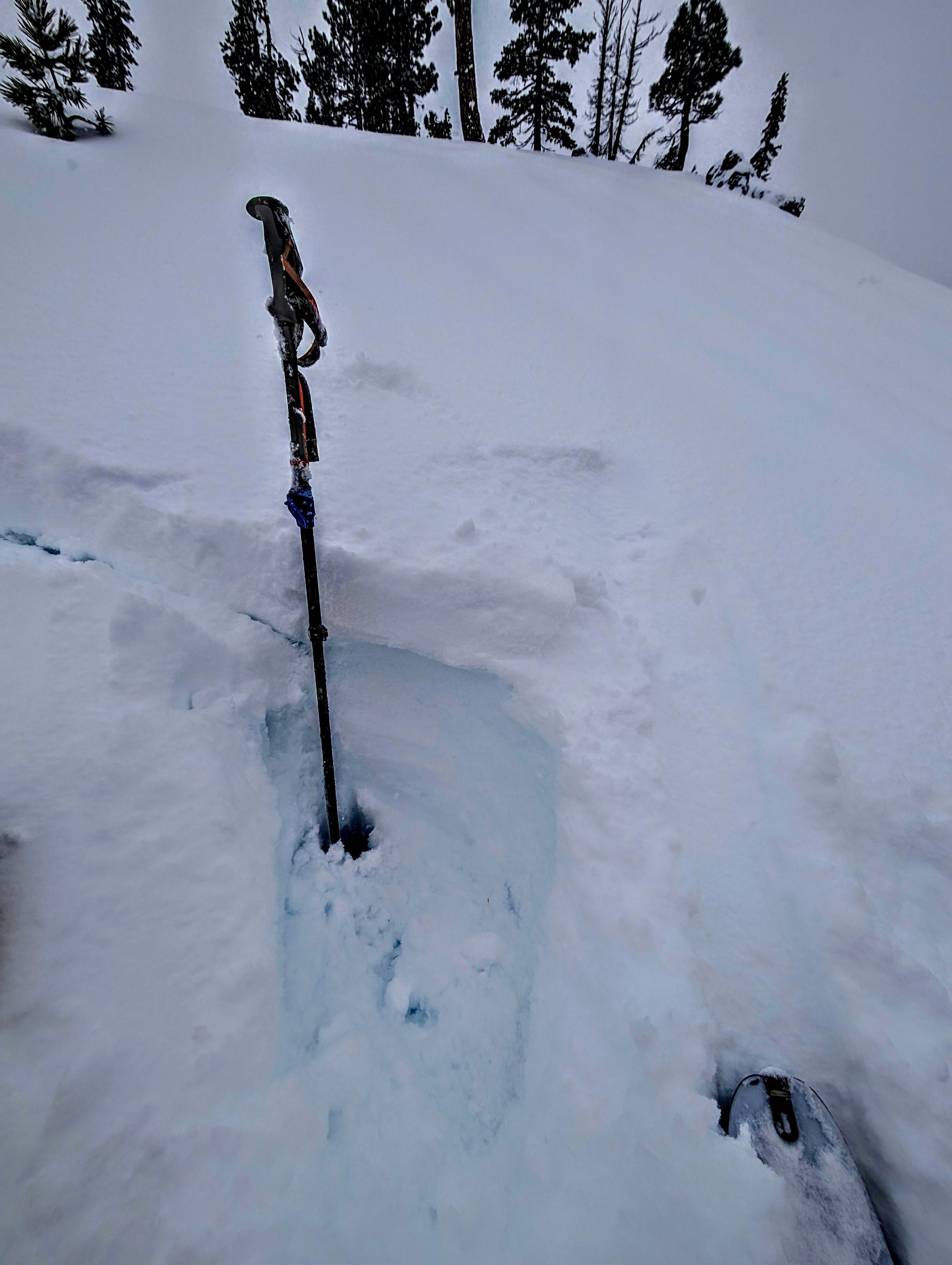
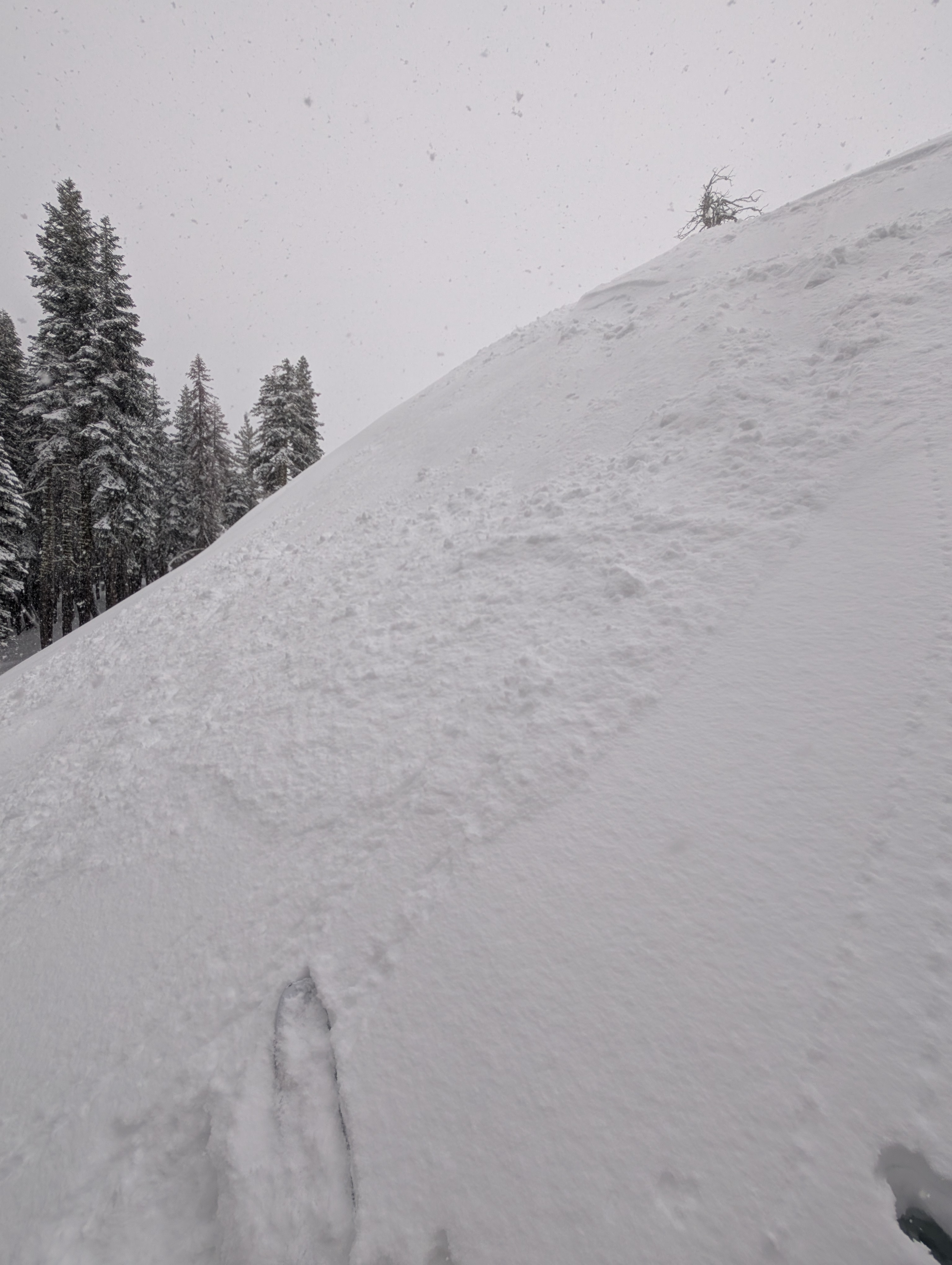
We went for a short tour on Andesite Peak this morning. New snow amounts of 3 inches and snowfall rates of 2 inches per hour greeted us upon our 9 am arrival at Donner Summit. Snowfall rates continued at 2 inches per hour during our tour. Winds, or the lack there of were notable. There was very little wind transport/drifting occurring. Some tiny new cornices were forming, but nothing substantial. With these unexpectedly light SW winds, we did not see any slab formation prior to our 11 am departure from the area. New snow appeared to be bonding decently to the deep wet snow below it. This deep wet snow from recent rain and no refreeze was ski supportable. Sluffing/dry loose activity within the new snow was the limit of instability that we observed. With high intensity snowfall continuing into the afternoon, greater instability could develop.
Minor dry loose occurring within the storm snow. Decent bonding of new snow to rain wetted snow below.Weather
- Air Temp
- 32
- Cloud Cover
- overcast
- Wind Loading
- light
- Recent Snowfall
- 10
- Snow Avail For Transport
- large amounts
Consistent snowfall rates around 2 inches per hours observed.