
Weather
- Air Temp
- Below freezing
- Cloud Cover
- overcast
- Wind Loading
- light
- Rain Elevation
- Below 6000'
- Recent Snowfall
- 15 to 20cm
- Snow Avail For Transport
- moderate amounts
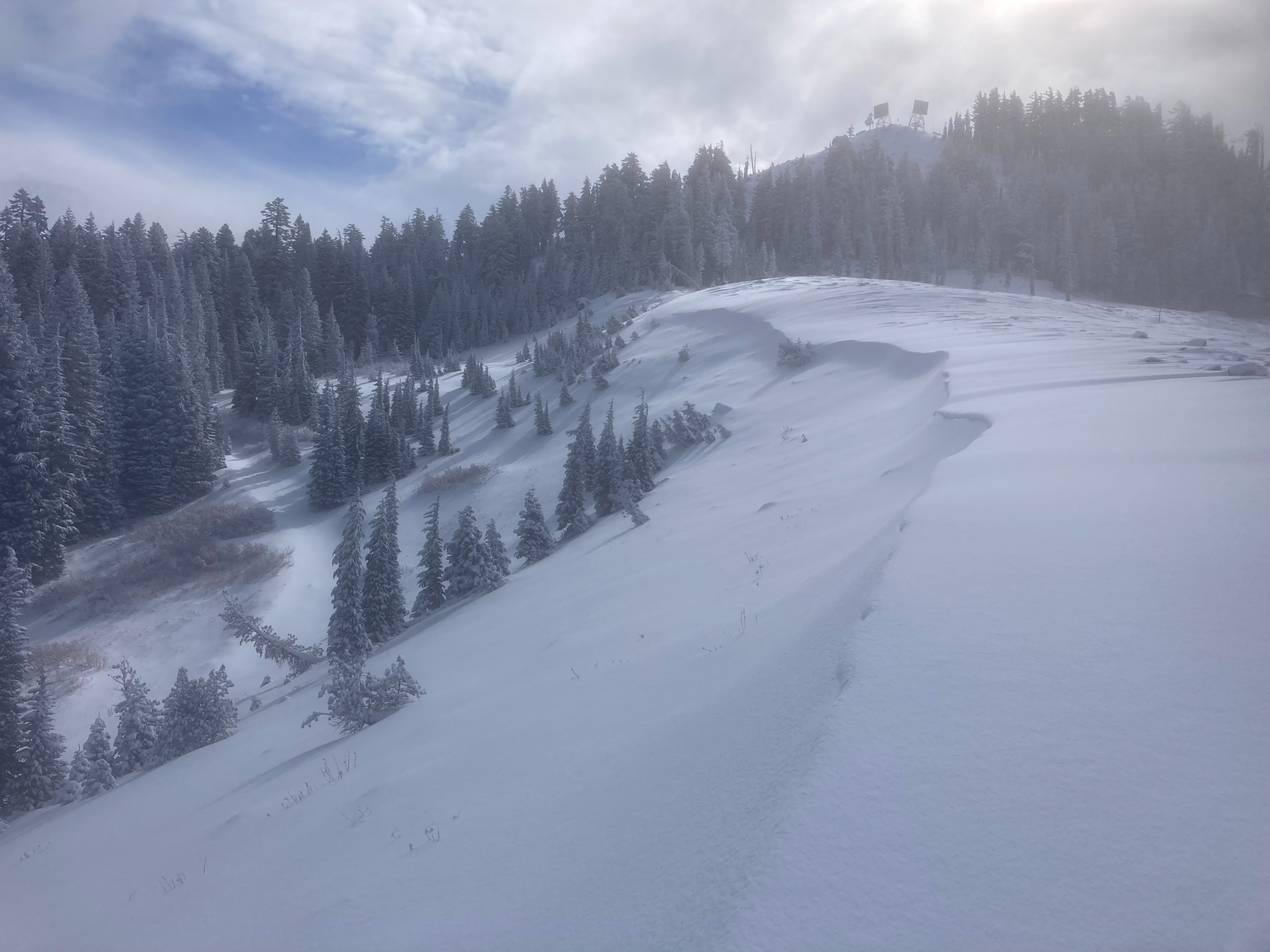
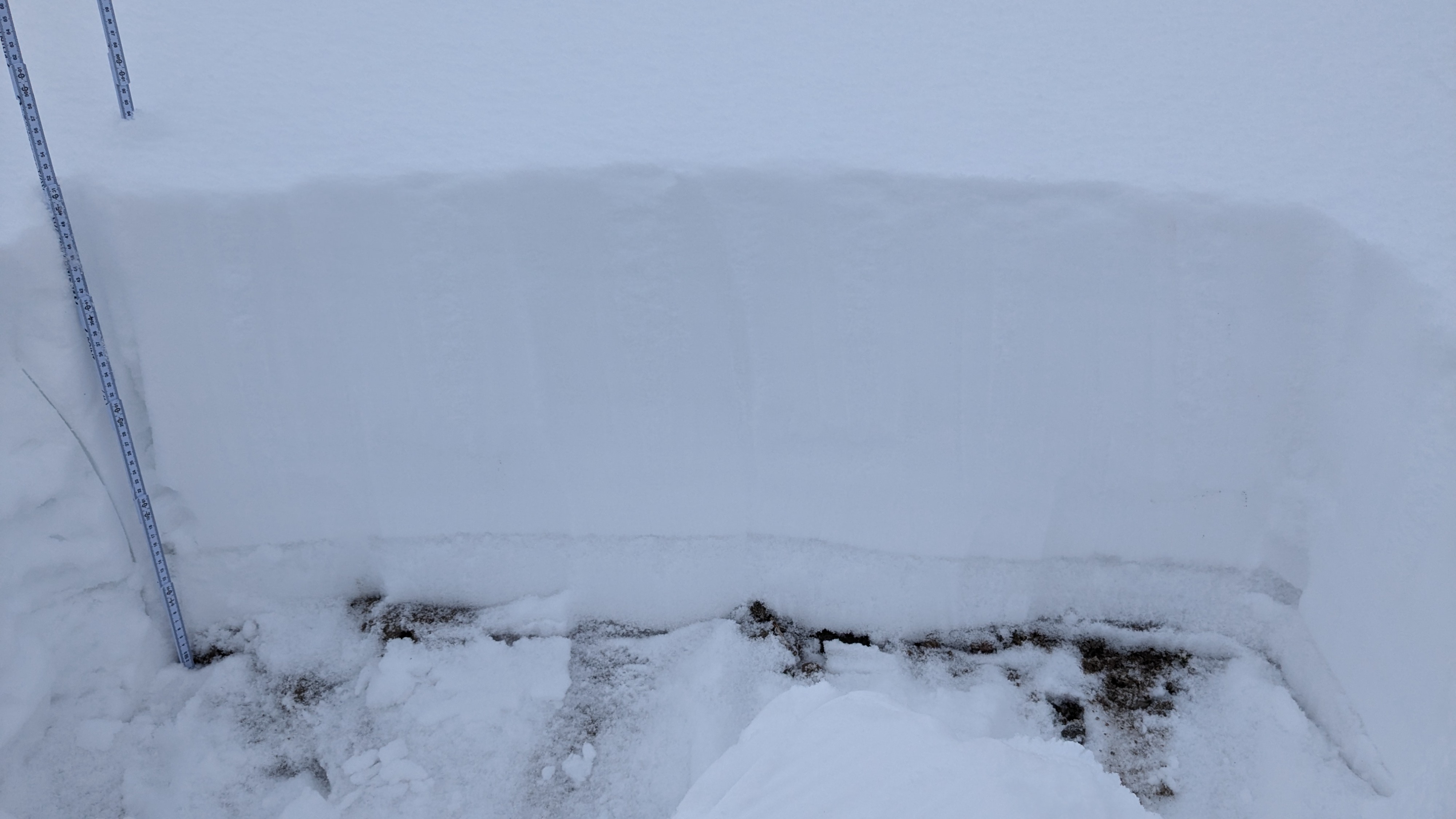
The storm that started Thursday afternoon has deposited 6 to 8'' of new snow on Donner Summit by Friday midday. SW winds were generally light with limited signs of wind loading occurring overnight.
Snowpack
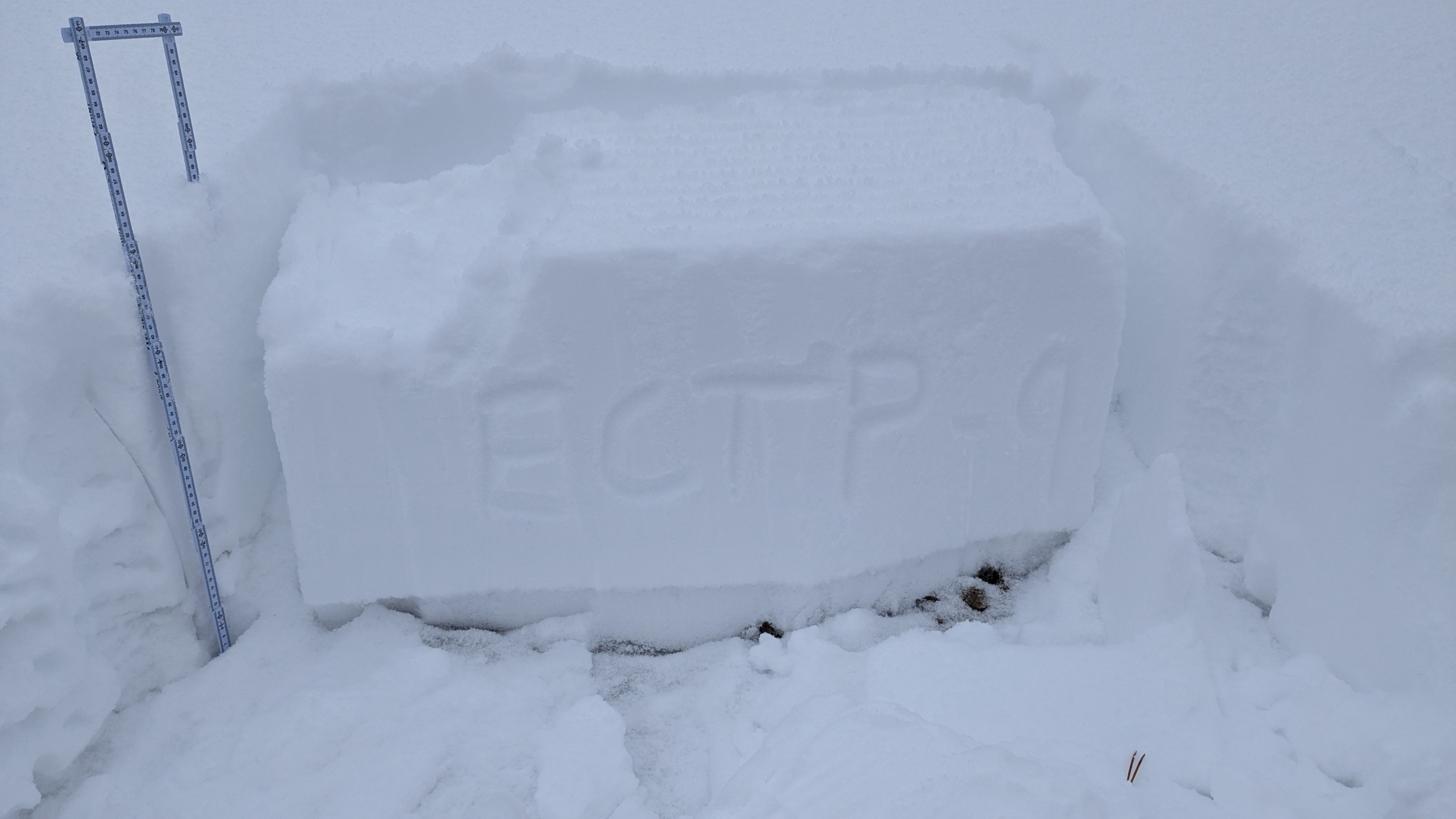
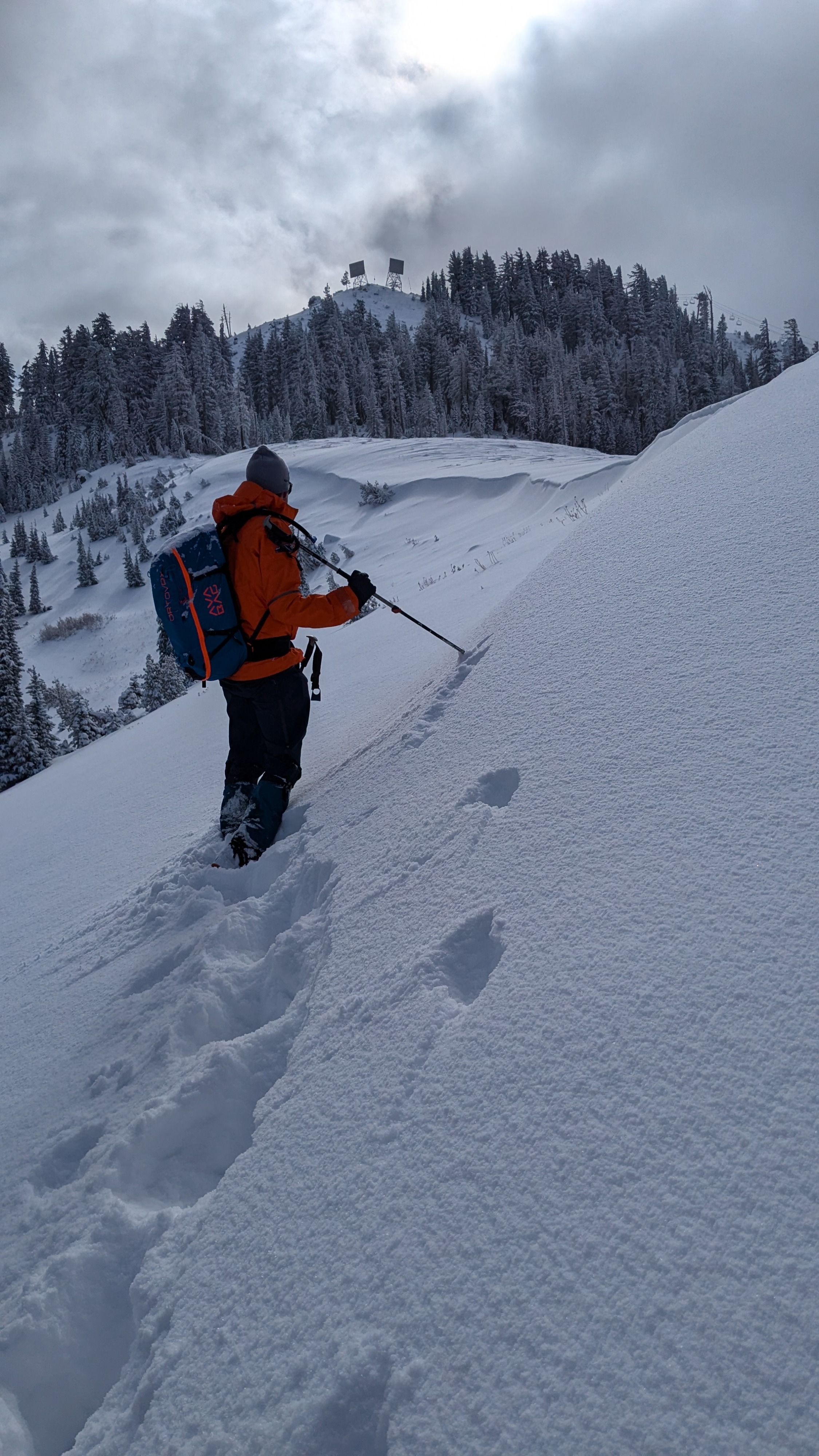
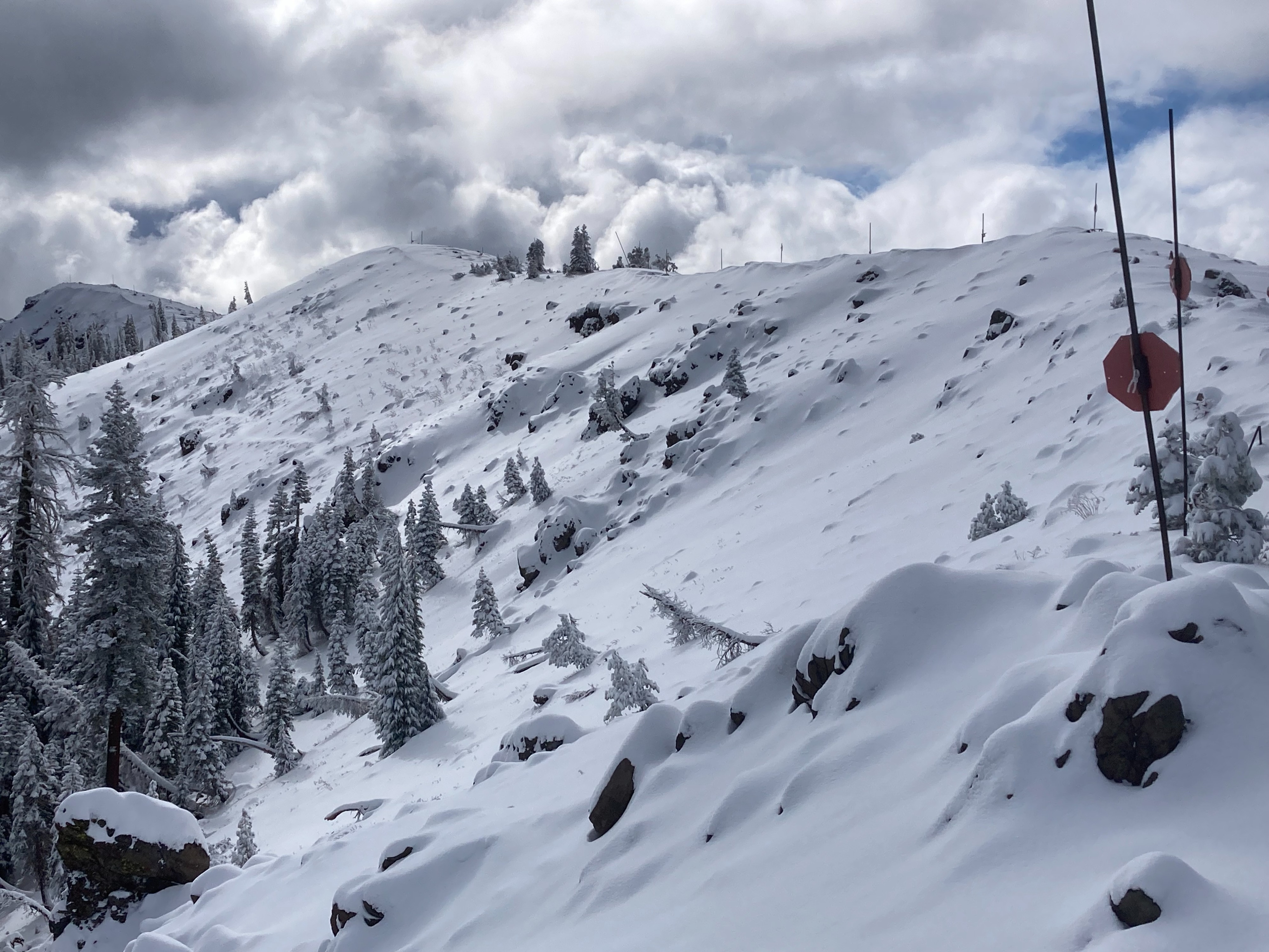
We made observations on Mt. Judah today. We found 6'' of new snow at the PCT trailhead this morning with additional snow showers today adding a couple more inches of snow. On NW-N-NE aspects above 7500', 1 to 2 feet of snow now exists with most other areas having minimal snow coverage. SW winds were mostly light today when we were in the field. There were some signs of wind transport overnight with some small wind features and cornice formation. There remains moderate amounts of snow for transport if wind speeds increase in the future. Weak faceted snow continues to exist above 7500' on NW-N-NE aspects in below and near treeline areas that have not been previously wind scoured. The load on top of this weak snow is increasing with each storm and we are getting unstable snowpack tests results. No additional signs of instabilities were observed today.