
Weather
- Cloud Cover
- overcast
- Wind Loading
- light
- Rain Elevation
- 6000
- Recent Snowfall
- 2
- Snow Avail For Transport
- small smounts
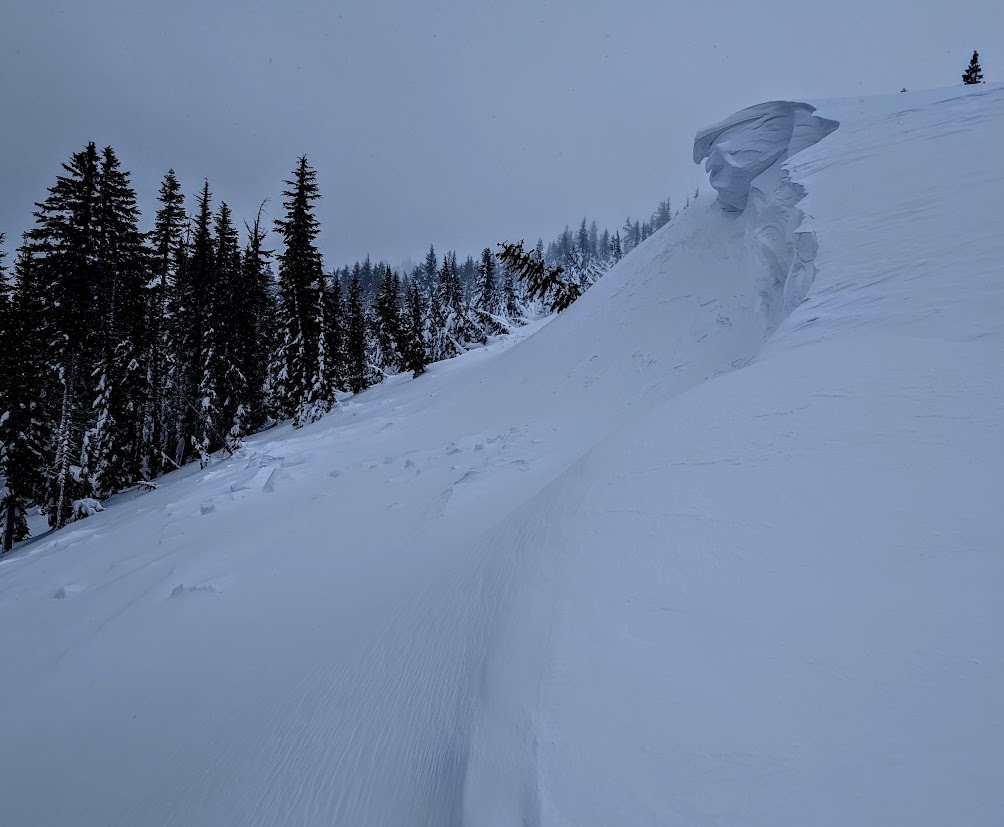
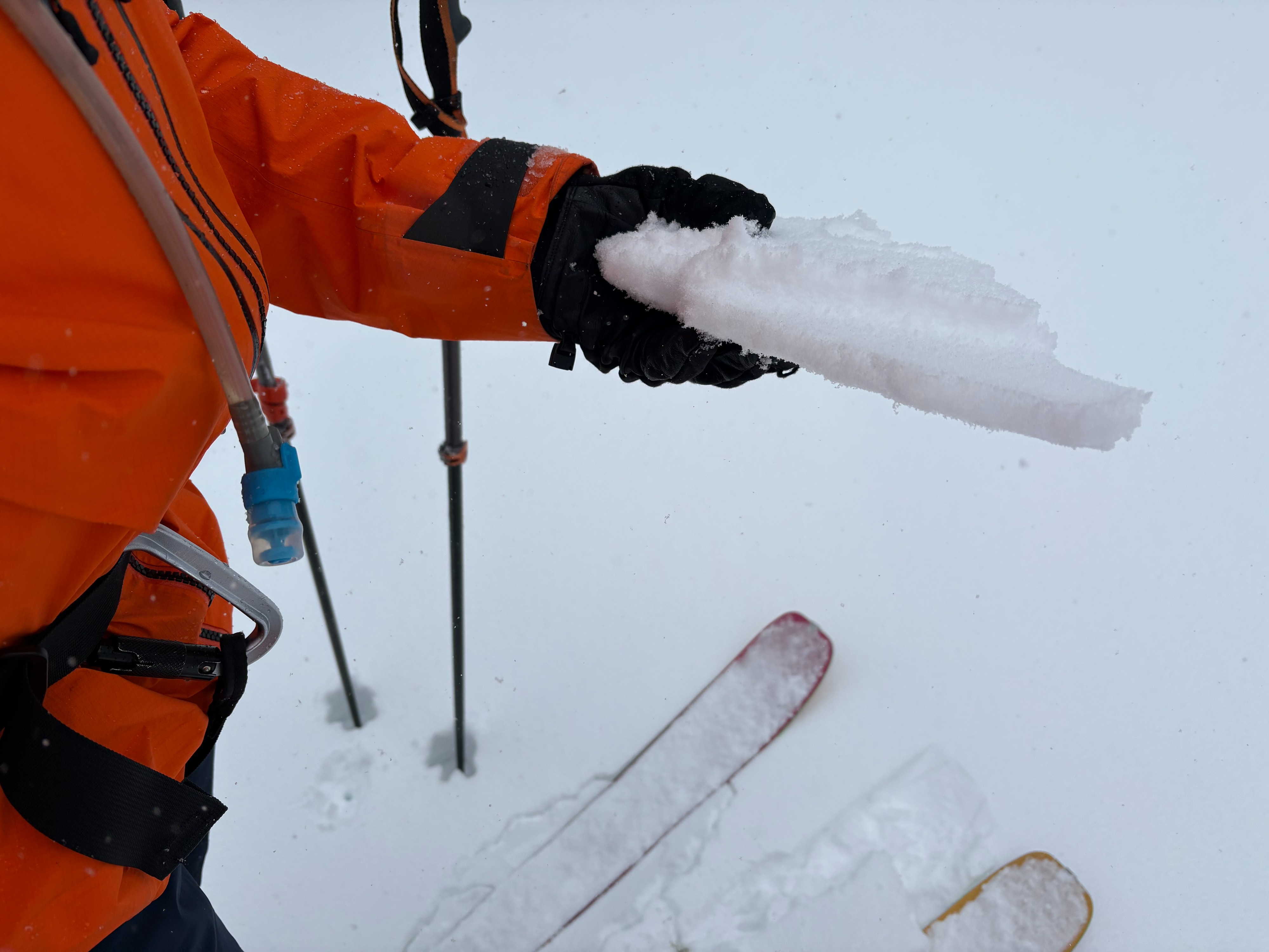
Cloudy skies with light snow throughout the day with around 1'' of new snow by 2pm. Winds were strong along the upper ridge, but blowing snow was limited due to the rain crust that formed from last night and limited new snow at this point.
Snowpack
We went to Lincoln Ridge outside of Yuba Pass today to make observations. We wanted to look and see if we could find any evidence of the persistent weak layer underneath the recent storm snow and to see how much new snow and wind slab development was occuring in this area. Beneath the recent storm snow from last Thursday/Friday, we found a rain crust with an old faceted snow layer underneath. This layer was made up of rounding facets and rounded grains and appeared to be bonding into the surrounding snowpack. We did multiple snowpack tests and did not have any failures or unstable results at this location.
Last night this storm started off warm with rising snow levels. We found evidence of rain and a rain crust forming today that went up to the top of this area at around 7800'. This rain crust capped off the surface snow and limited snow transport of existing snow in this area. There was around 1'' of new snow with light snow continuing throughout the day, but this made for limited blowing snow and wind slab formation.