
Quick report
- Cracking
- isolated
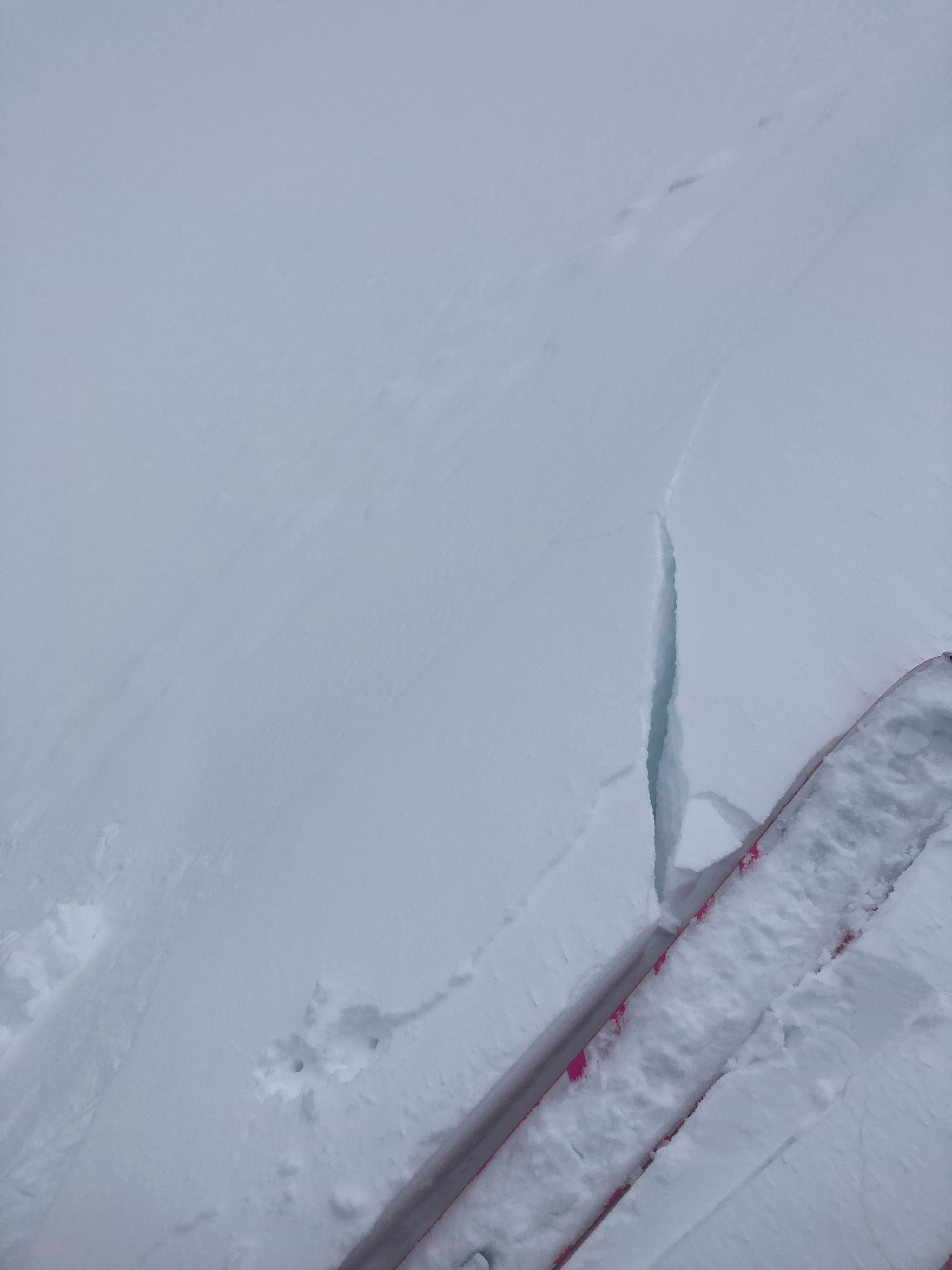
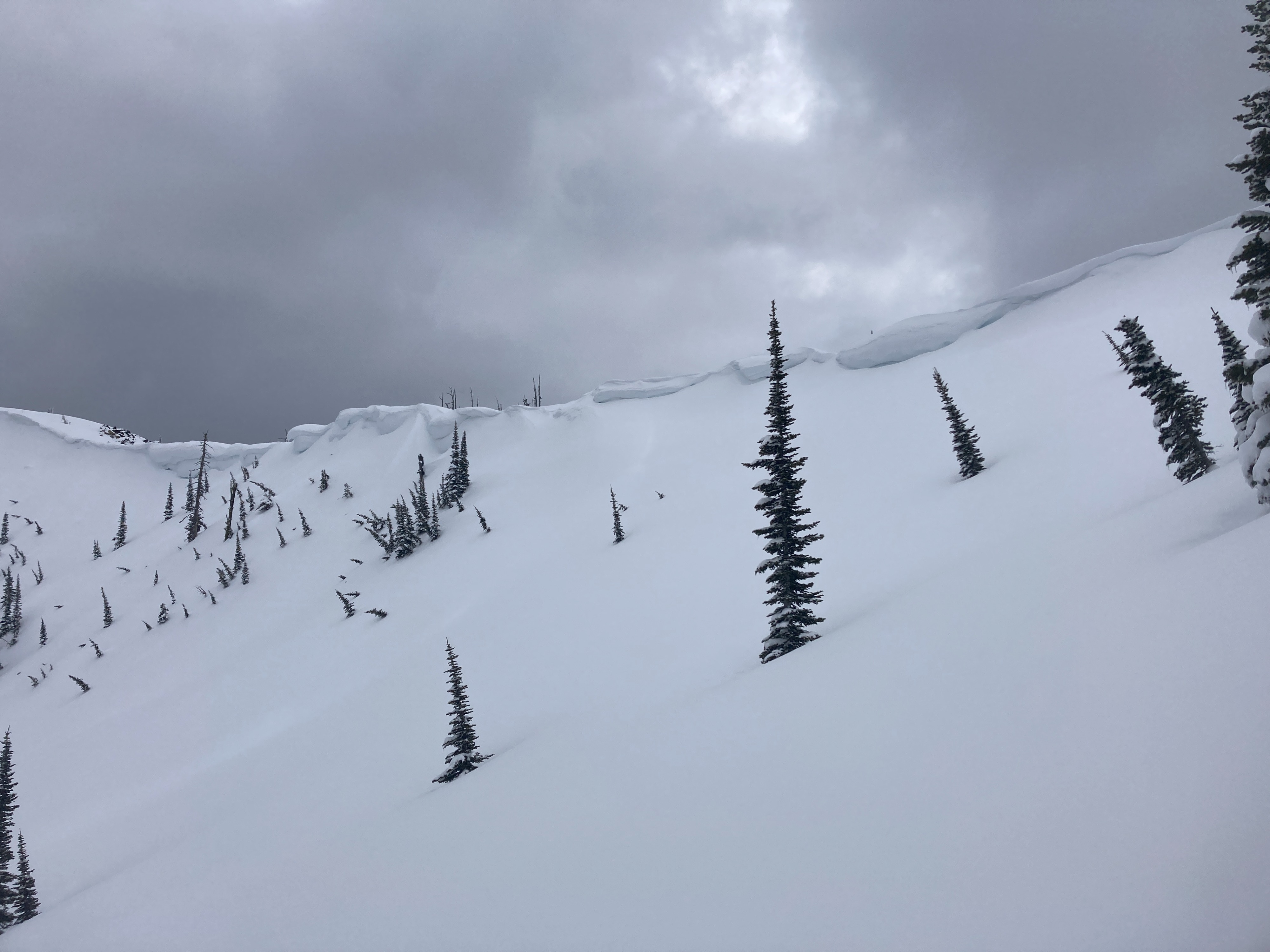
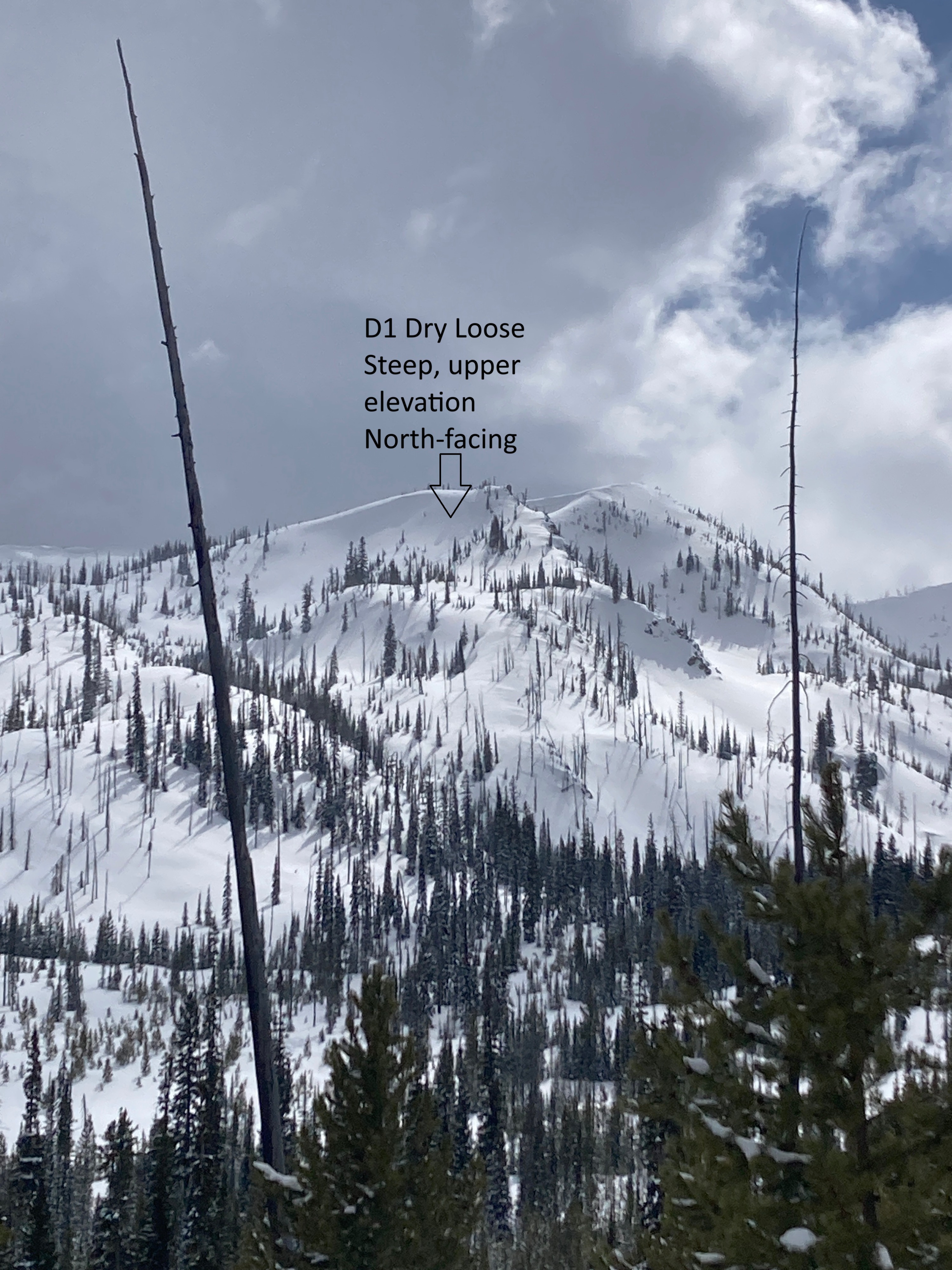
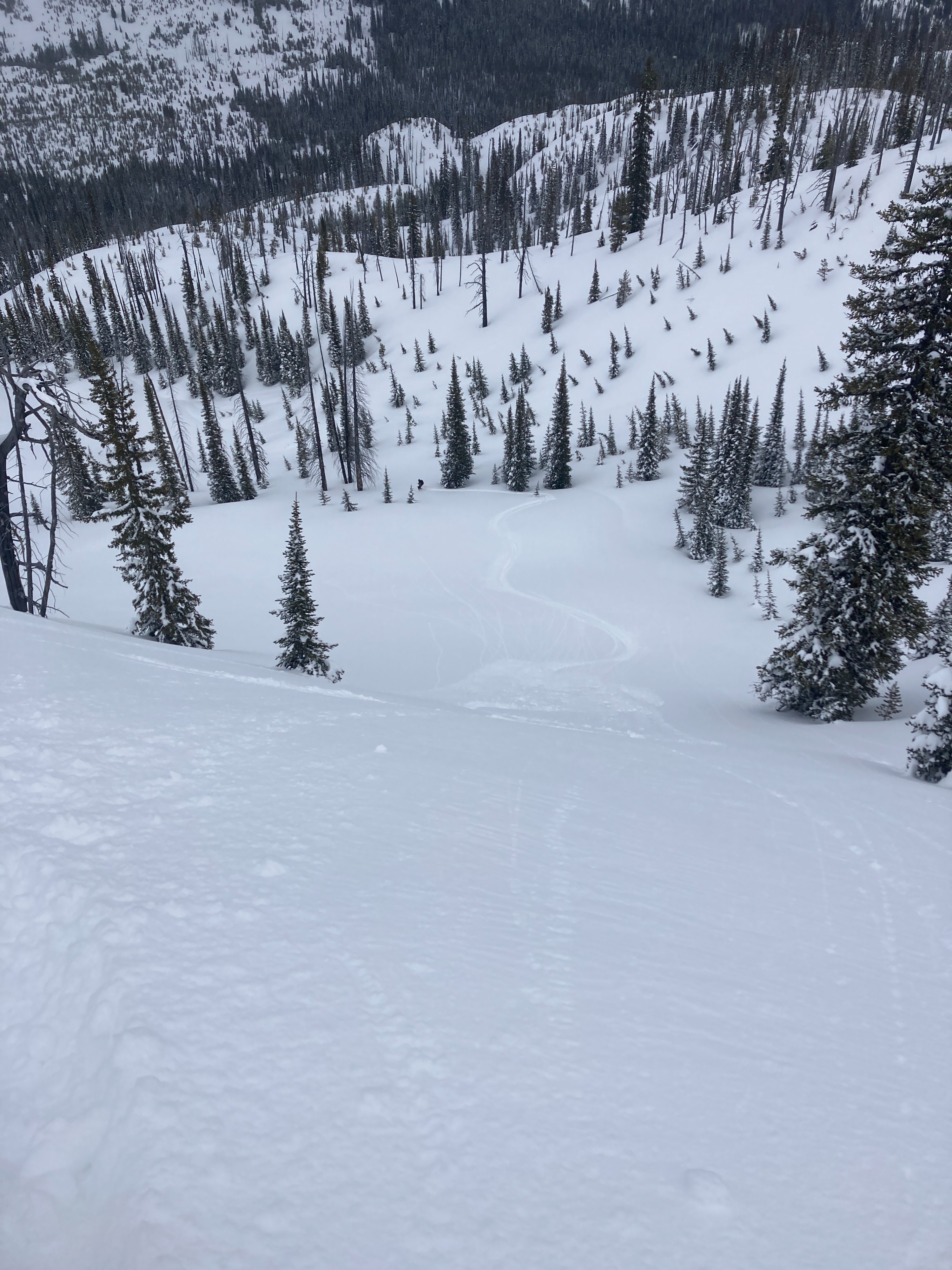
Shooting cracks were isolated to a cross-loaded terrain feature above 7500' from recent NW winds. The only other signs of instability were small, D1, skier-triggered dry loose in steep, north-facing terrain.
Weather
- Cloud Cover
- broken
- Wind Loading
- light
- Rain Elevation
- <4000'
- Recent Snowfall
- 30-40 (since Sunday)
- Snow Avail For Transport
- moderate amounts
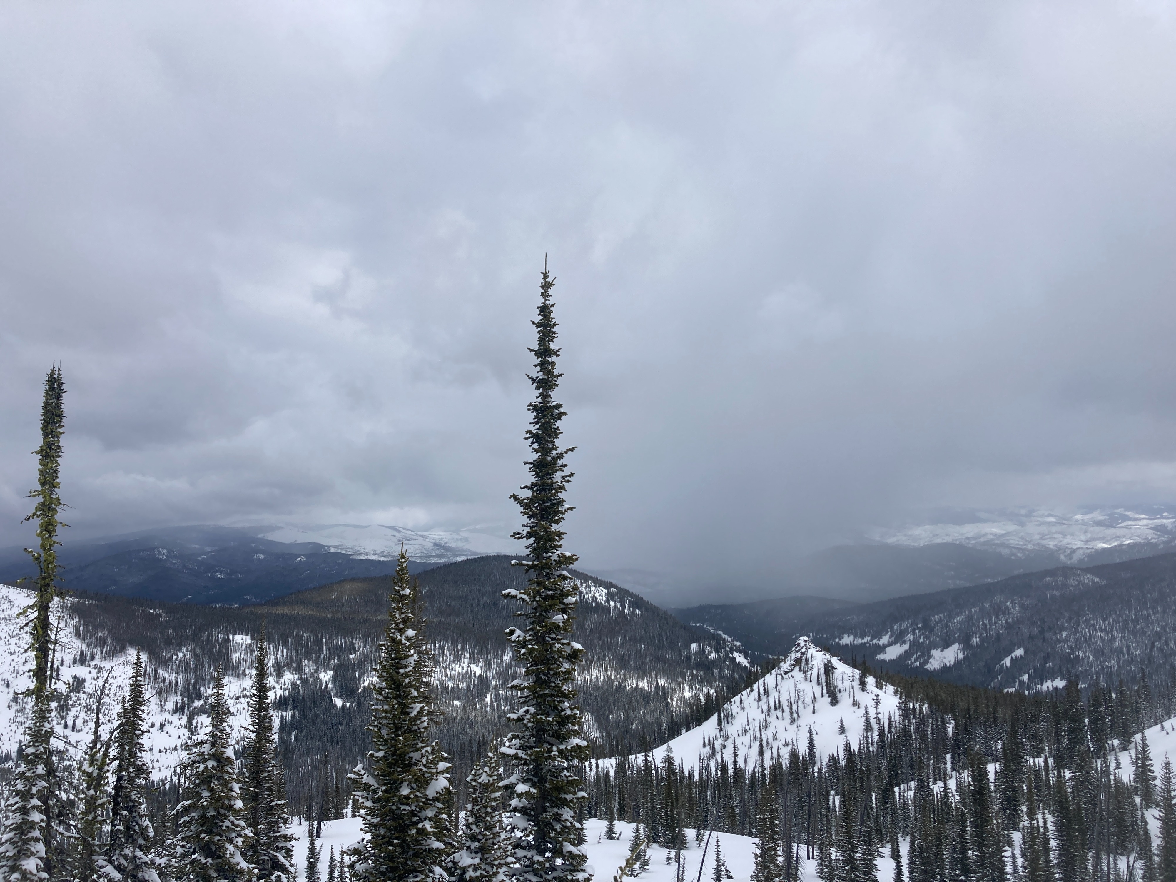
Cloud ceiling was around 7000' at 1000 near Secesh Summit. Clouds became broken to scattered from 1100-1300, with intermittent sunshine. NW flow was fueling afternoon snow showers. Showers became more widespread with overcast skies by 1400. NW winds were light with moderate gusts. Interestingly, snow showers were heaviest on our drive from Francis Wallace back into town. Light accumulation on the roads.
Snowpack
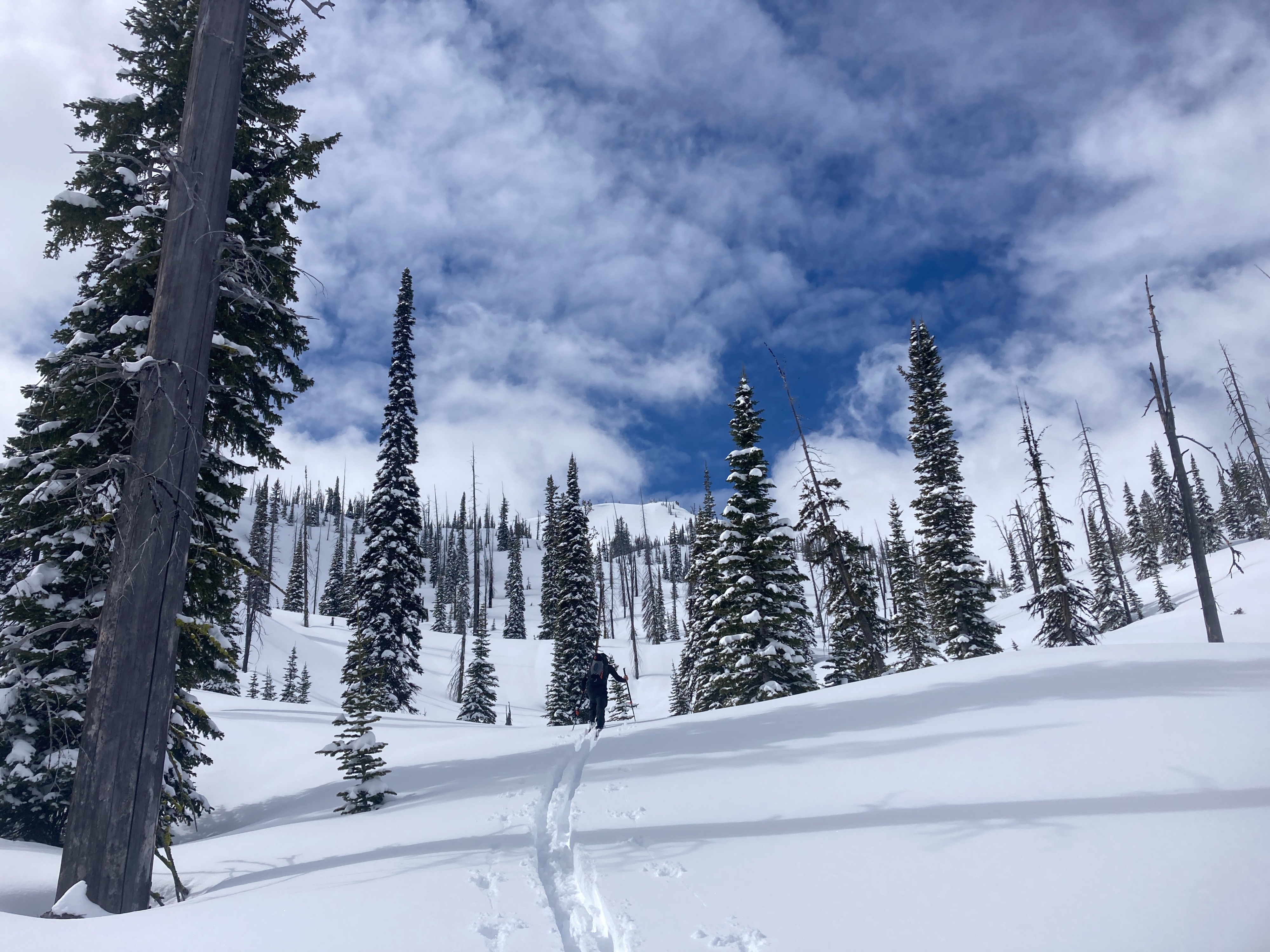
We dug two "formal" pits and two mitt pits today. 30-40 cm (10-14") new snow since Sunday. Snowpack below 7000' is still going through an identity crisis. Below 7000', new snow is sitting atop a soft and moist MF crust. Beneath the crust, the snowpack is still wet and soft from warmup last week. Between 7400-8000', a deep and stable snowpack exists. New snow was soft and unconsolidated with tests yielding ECTNs within the recent storm snow. No near-surface facets were observed adjacent to recent crusts. Recent NW winds formed isolated drifts on some cross-loaded terrain features. Around 8000' on a south-facing aspect, new snow was around 8", with the upper 4" becoming dense and sun-affected. By 1430, new snow was getting damp on sun-exposed slopes around 7000'. Small rollerballs were observed below 7000' on solar and polar aspects.
Avalanche
Two, small (D1) skier-triggered dry loose on steep, north-facing terrain. Sluff was only entraining the upper 4-6" of new snow and was easily manageable.