
Quick report
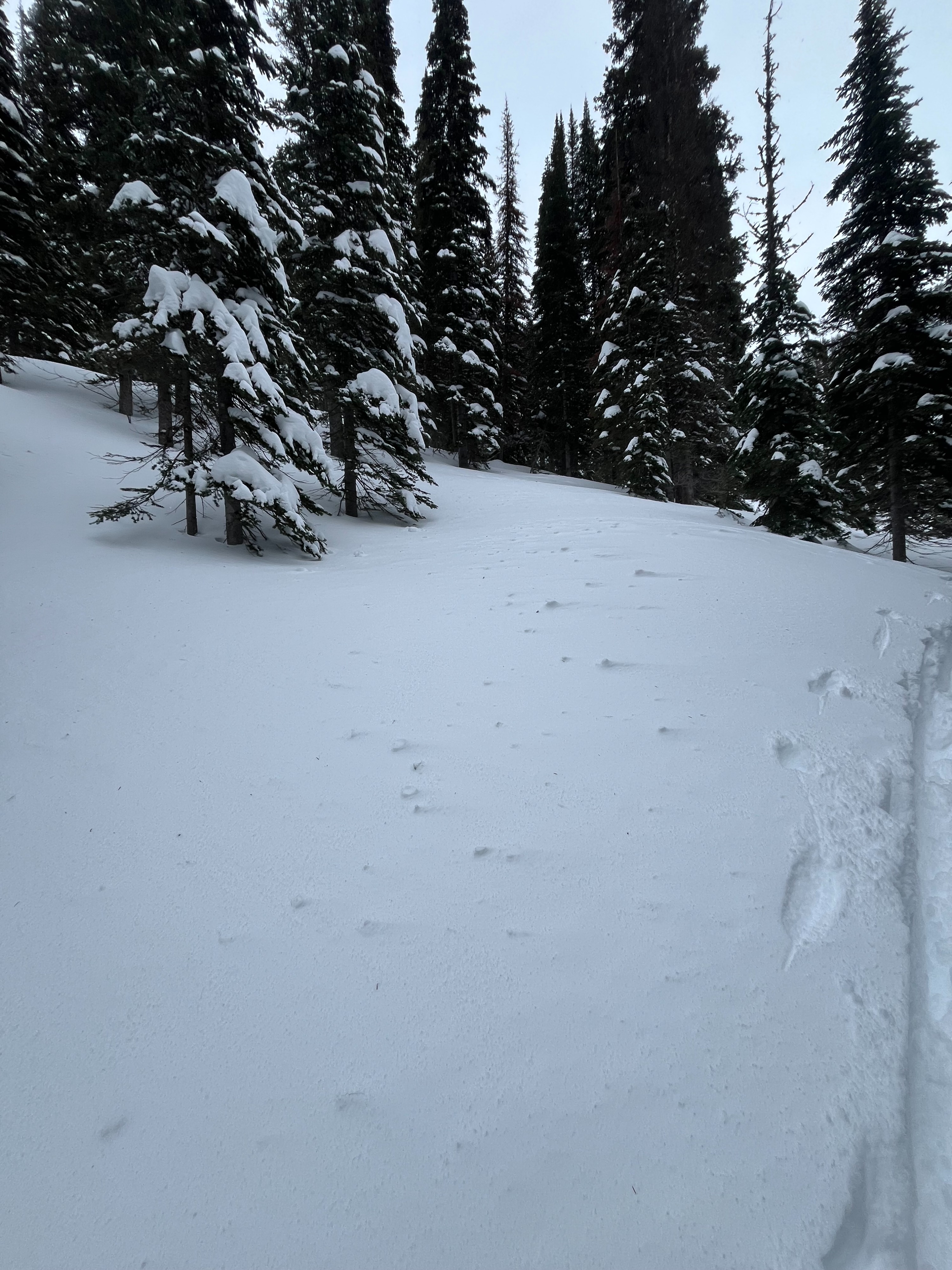
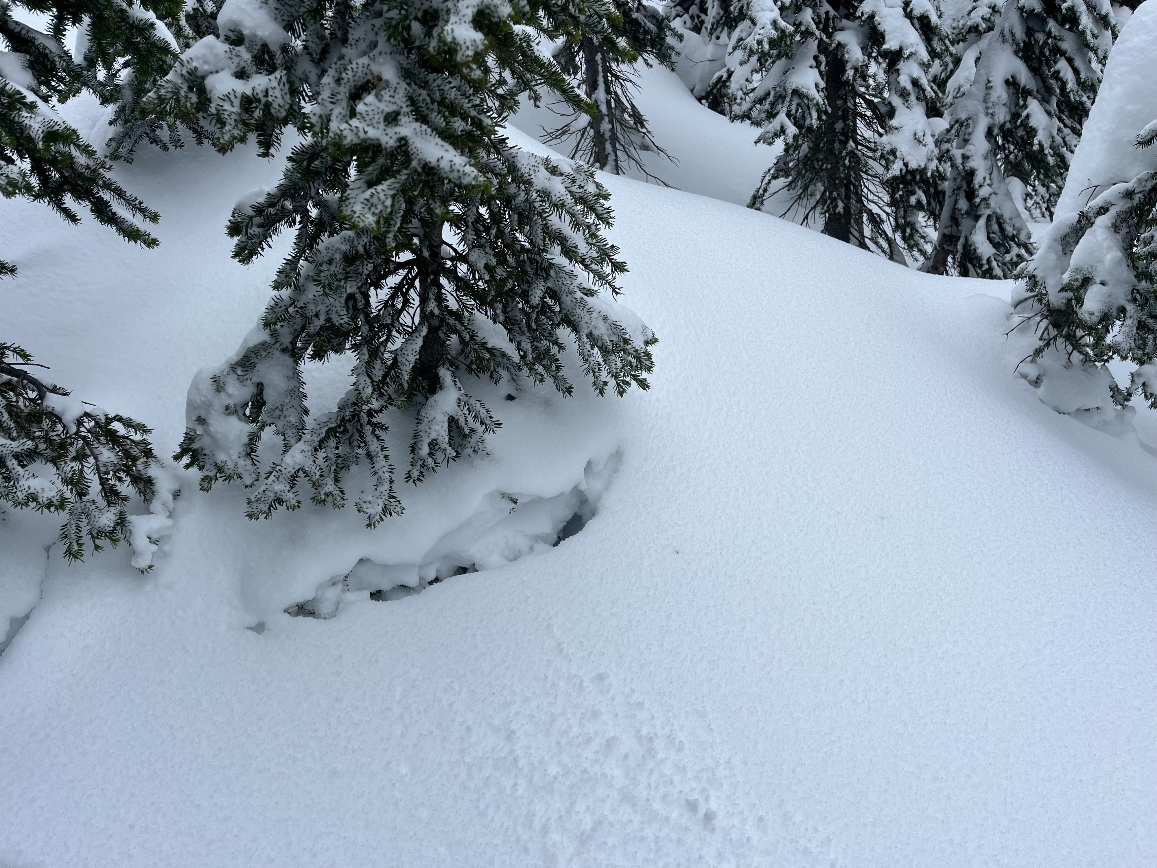
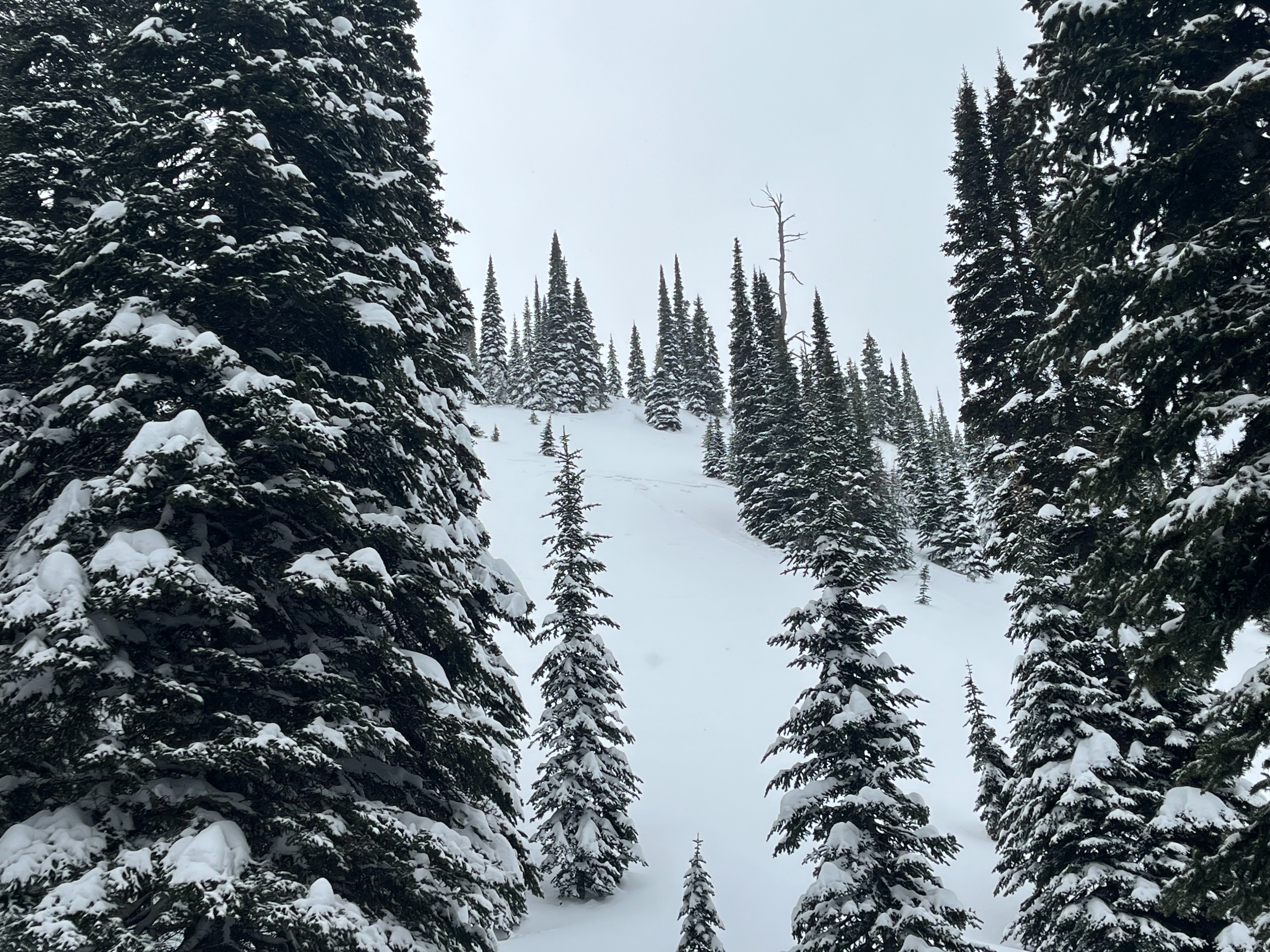
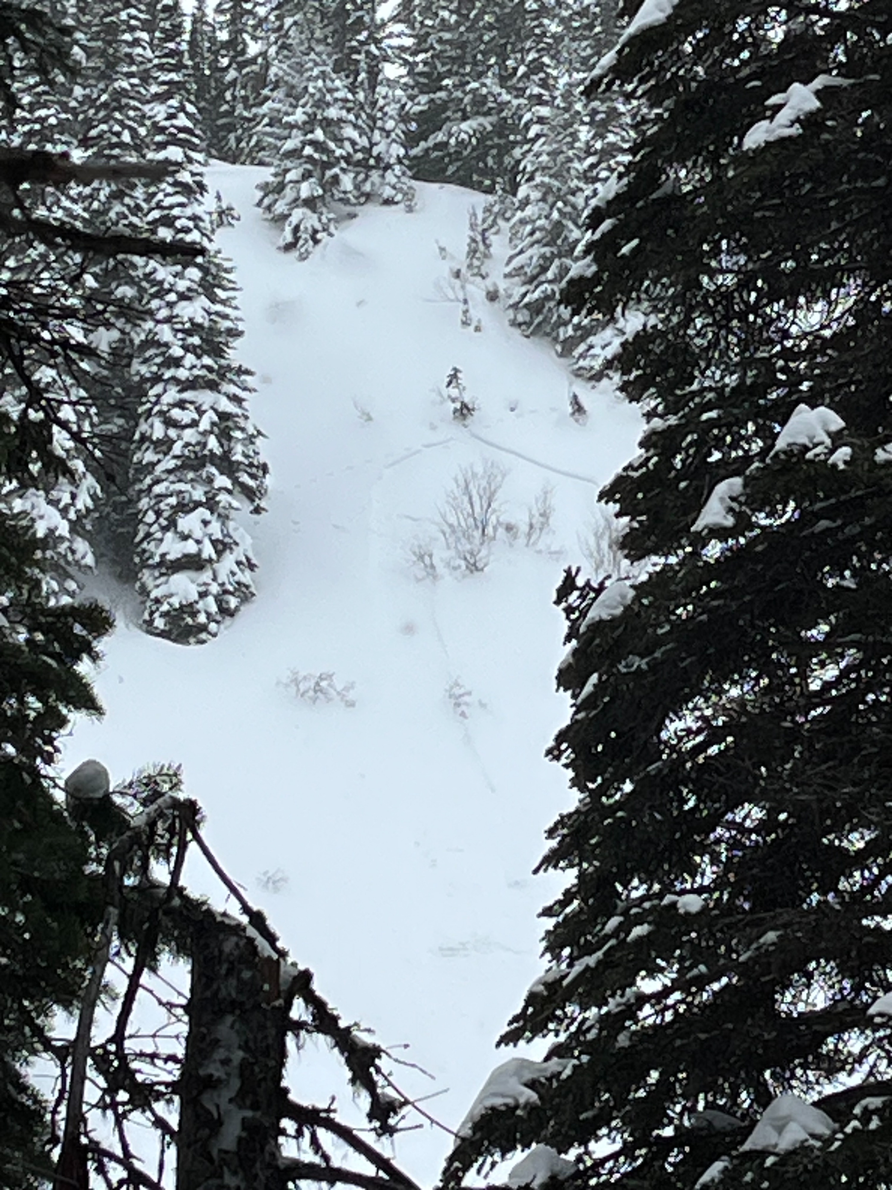
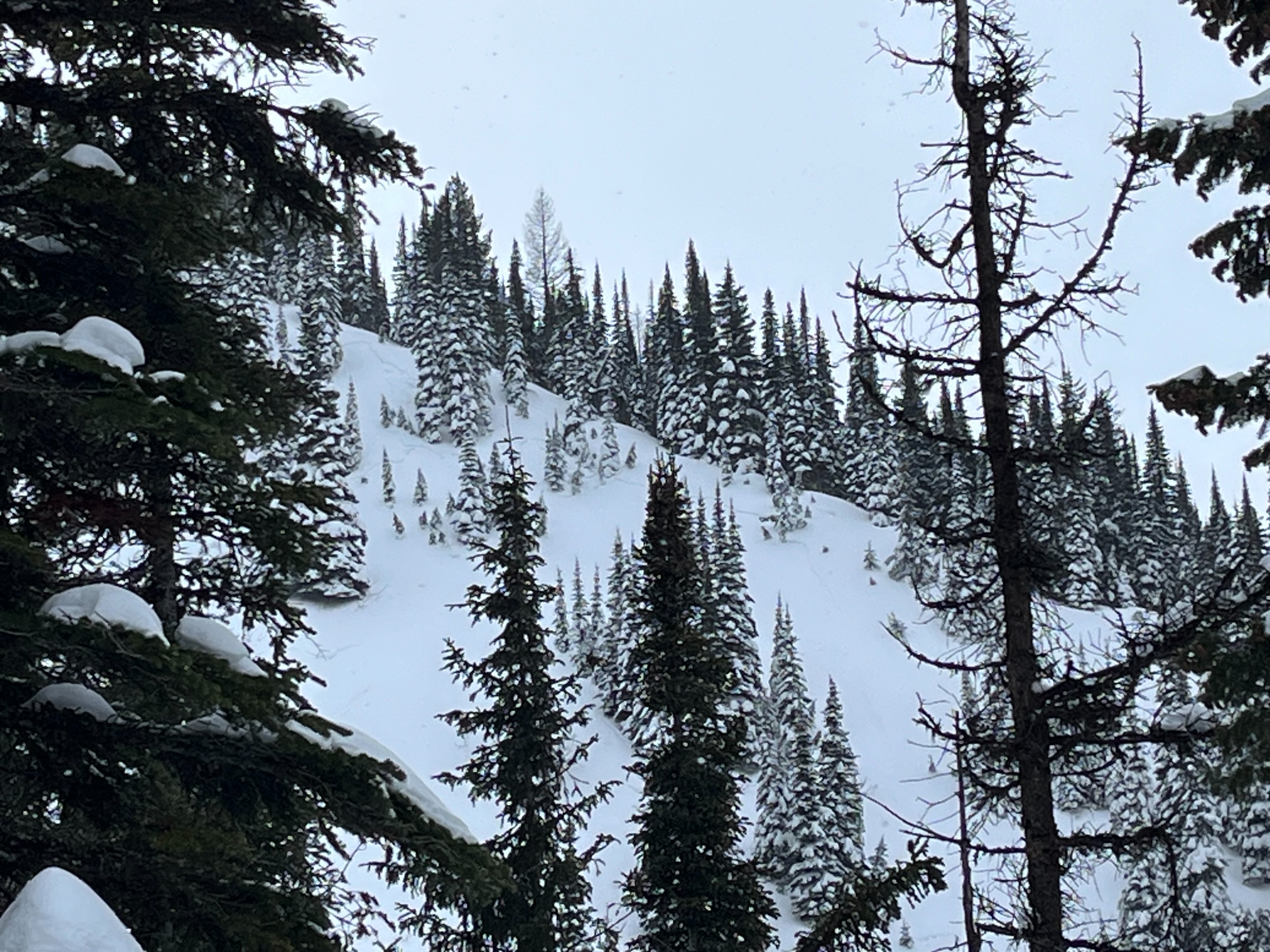
Below freezing temperatures from the valley floor upwards...what a treat. Skies were mostly cloudy or completely overcast for most of the day, with a few brief glimpses of blue sky periodically. Some very light snow flurries intermittently throughout the day with no noticeable accumulation. Winds were light to non existent at the beginning of our day, with light winds at our high point of 6800ft out of the east around noon. By mid afternoon, winds were moderate out of the east well below the ridgeline, and snow was being transported at middle elevations even in sheltered/treed areas. We also saw evidence of wind at mid elevations from the wind we experienced earlier this week. About 16-20 inches of recent snow above a melt/freeze crust from last weekend, although some of the deeper spots may be result of wind loading. We skied in sheltered, treed areas on north aspects up to 30 degrees, and there was much rejoicing. Besides a number of small wind slabs we observed on a steep, easterly aspect, we saw no other signs of instability.
Weather
- Air Temp
- Below freezing from valley floor to 6800
- Cloud Cover
- overcast
- Wind Loading
- moderate
- Recent Snowfall
- 5cm/2in during our tour
- Snow Avail For Transport
- moderate amounts
Avalanche
- Size
- D1
- Count
- 2
- Aspect
- E
- Trigger
- AW
- Elevation
- 6000 ft
We observed a number of small (D .5-1) wind slabs that failed on steep easterly aspects. These slabs failed near tree bands, and were no deeper then 6 inches at the most. Did not entrain any of the recent snow, and did not run far. Otherwise, no other signs of instability today.