
Quick report
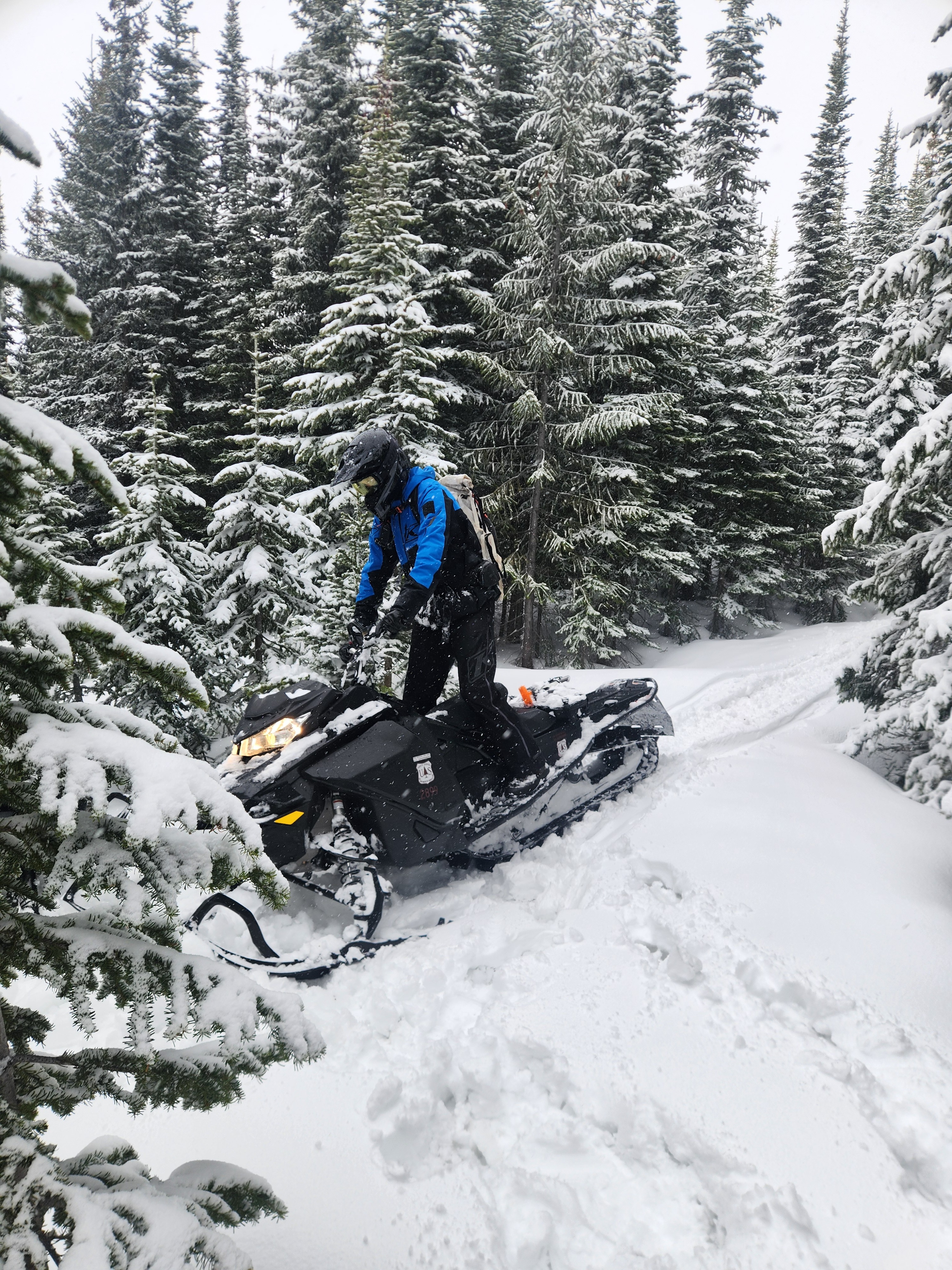
Today we rode sleds in the Alpha/Beta Lakes area to retrieve our snow depth camera and take a quick peak at the incoming storm.
- It snowed lightly the whole time we were out. Snain down low, but the snow got drier as we ascended.
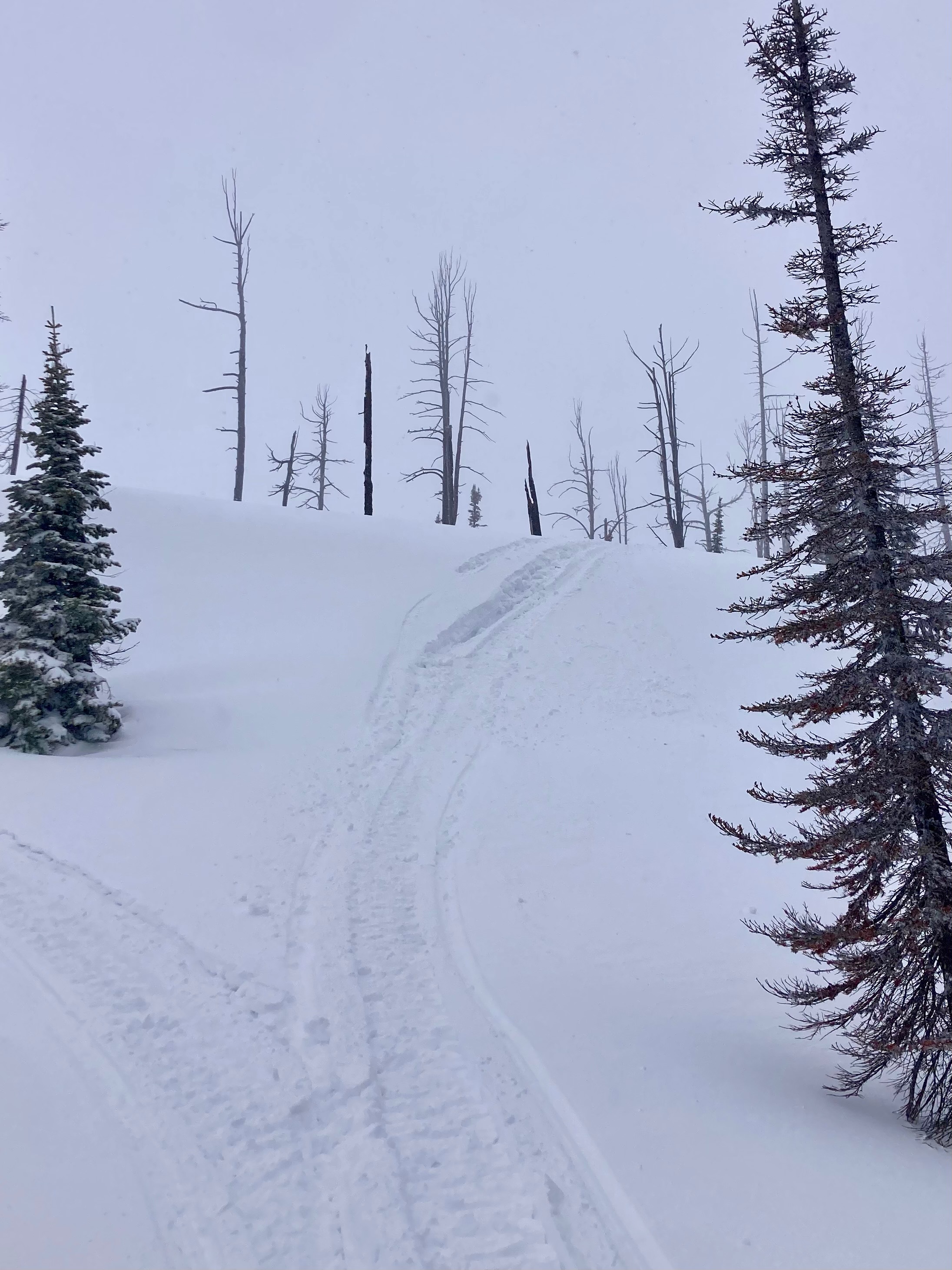
- Despite the rain/snow line hovering near 4500 ft, the snow all the way up to ~6200 ft was quite dense and heavy.
- We found about 4 inches of new snow resting on the old snow surface. The snow was just a bit upside down (1F over 4F).
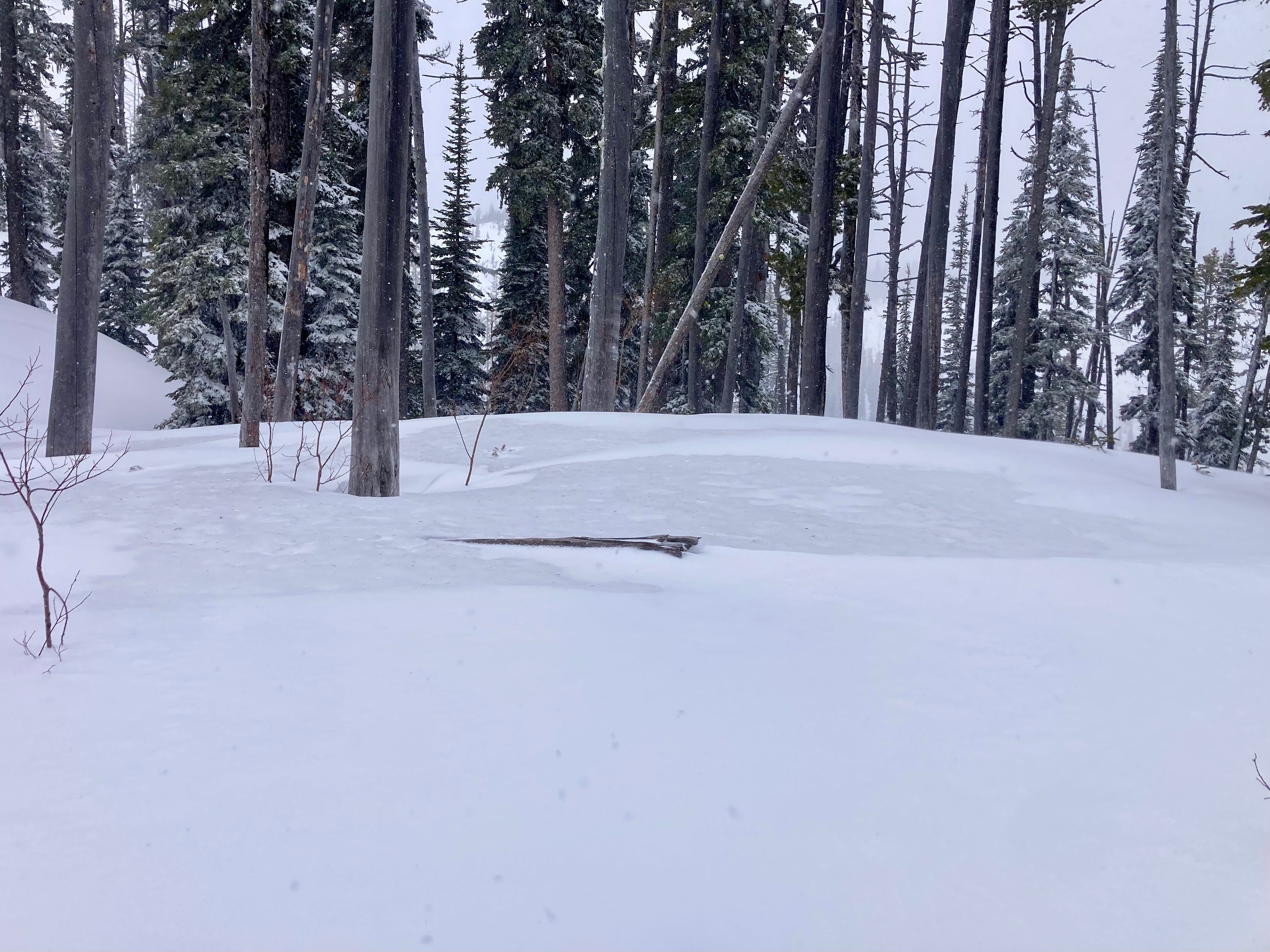
- At our high point, the old surface had clearly seen lots of water from rain events last Saturday and Monday. It was beginning to or had already refrozen and was mostly, but not always, boot- or sled-supportable.
- The new snow was pretty well cohered to itself but was generally too thin to hold together as much of a slab. Its behavior was somewhere between "moist slab" and "moist loose". Bonding to the old surface was variable; well-bonded in some spots and easy to sluff in others.
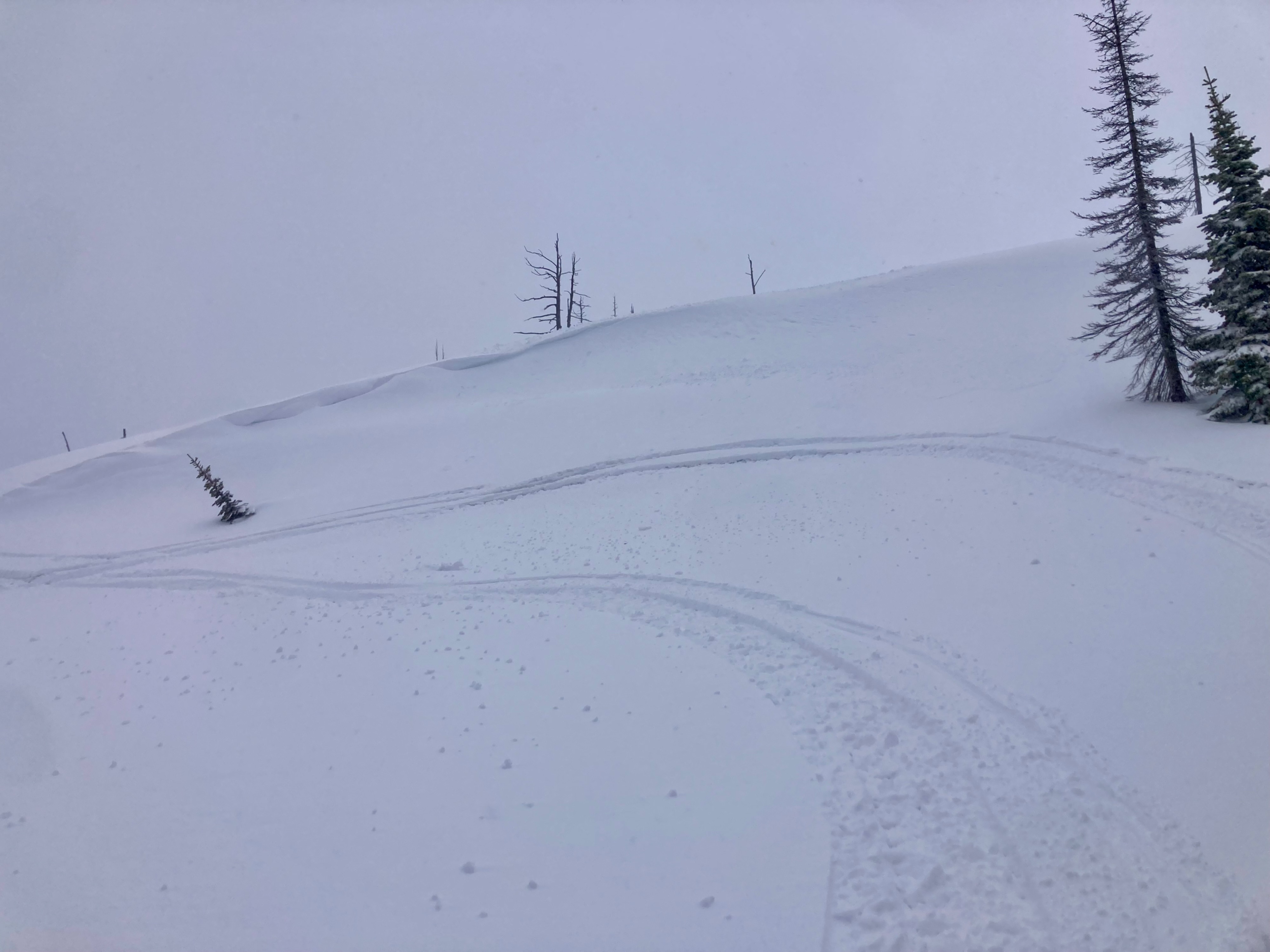
- Winds were drifting the new snow. On an exposed ridgeline, we found drifts up to 18 inches thick. These proved unreactive to sled cuts on steep test slopes.
Weather
- Cloud Cover
- overcast
- Wind Loading
- light
- Rain Elevation
- ~4500'
- Recent Snowfall
- 10
- Snow Avail For Transport
- small smounts
Light snow (S-1). Moderate winds gusting to strong at exposed ridgelines.