
Quick report
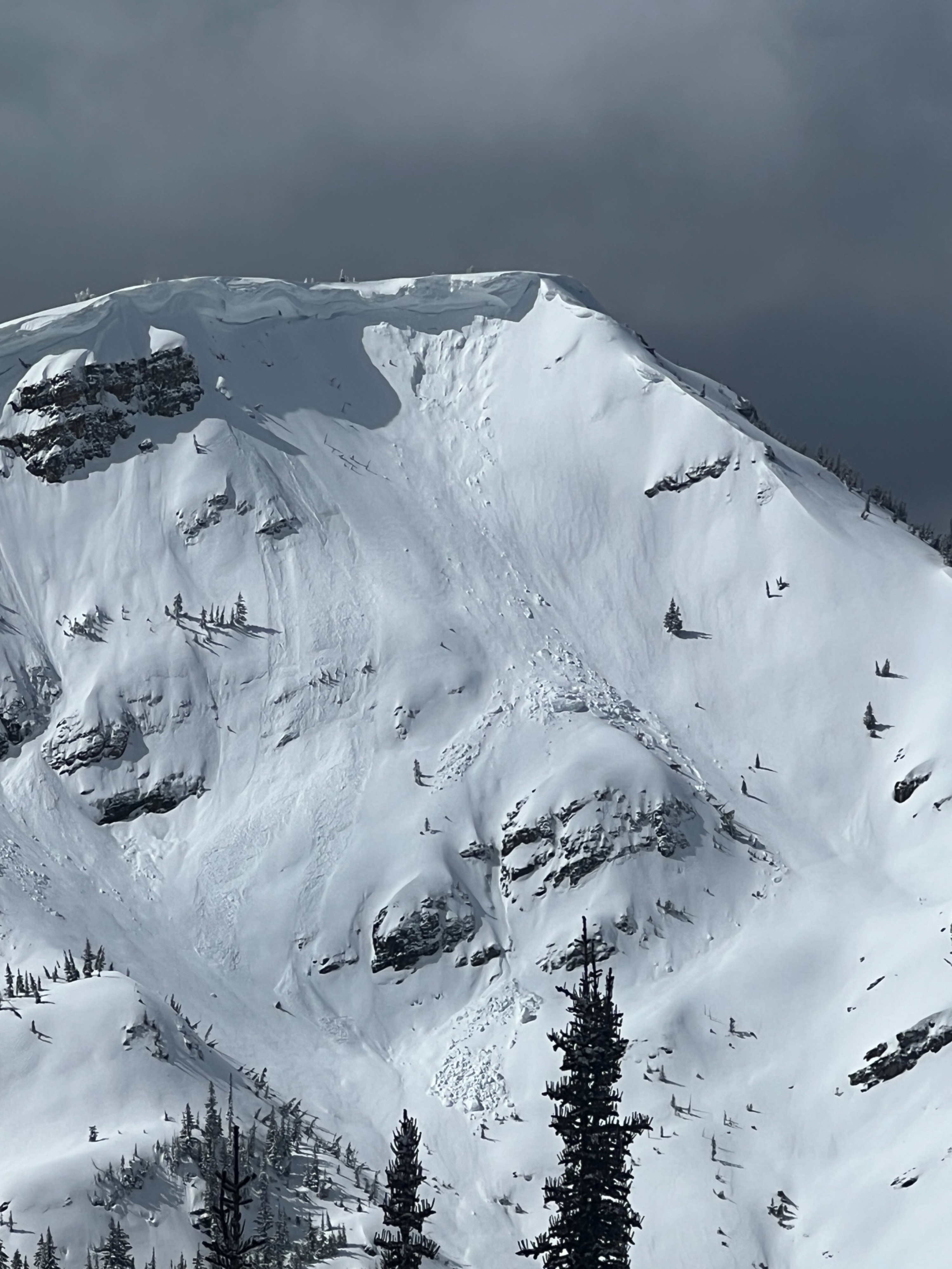
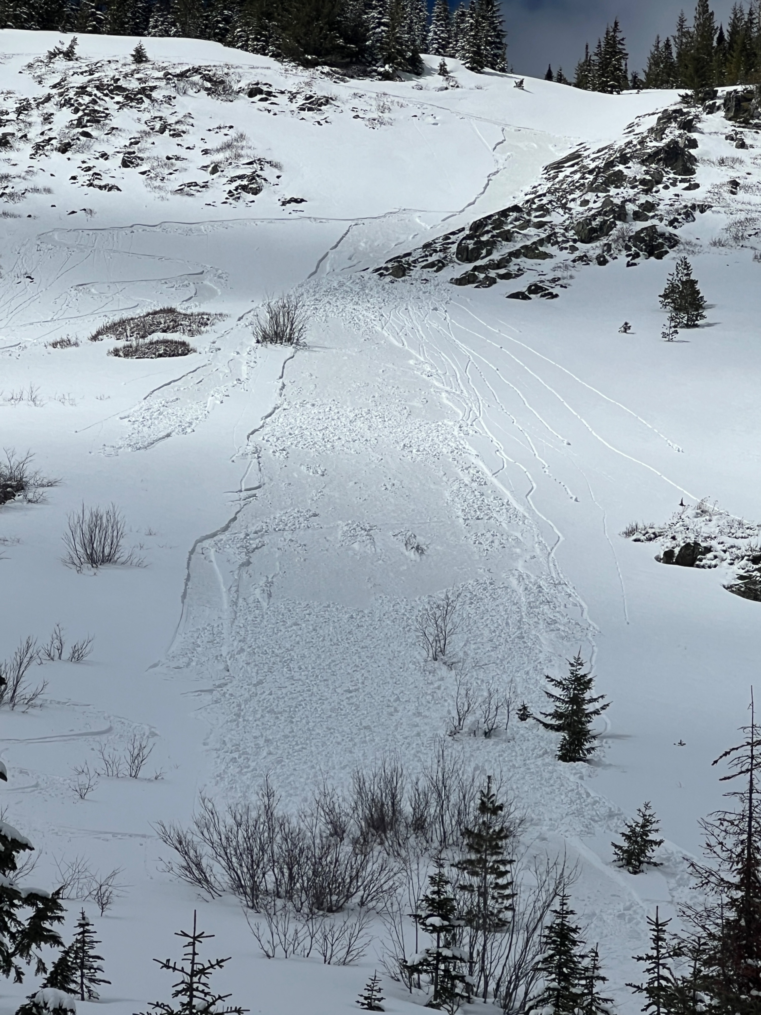
Up until triggering 2 loose snow avalanches, we observed very few signs of instability. The recent snow appeared to have bonded fairly well to the surface crust at upper elevations. Elevated winds had formed drifts below ridgelines, but there was very little cracking.
Weather
- Cloud Cover
- scattered
- Wind Loading
- light
- Rain Elevation
- Not observed
- Recent Snowfall
- 15-20
- Snow Avail For Transport
- small smounts
Broken cloud cover in the morning, with dark and grey skies in the southeast from the departing storm. As the clouds phased out, sunshine moved in and gave way to scattered skies. The wind lessened during the day, from strong gusts to very occasional moderate gusts from the southwest.
Snowpack
Mountains along the state line benefited from some orographic lift from the recent storm, which delivered 6 to 8 inches of snow. The storm snow had a large amount of graupel in it, and although it was on the dense side, it felt pretty right side up. All of the snow landed on a wideapread thick crust. A lack of cracking and no results in snowpack tests suggested that the new snow was bonding pretty well. Moderate to strong winds from the southwest created larger drifts below ridgelines and around steep and exposed terrain features, with depths between 30 to 45cm.
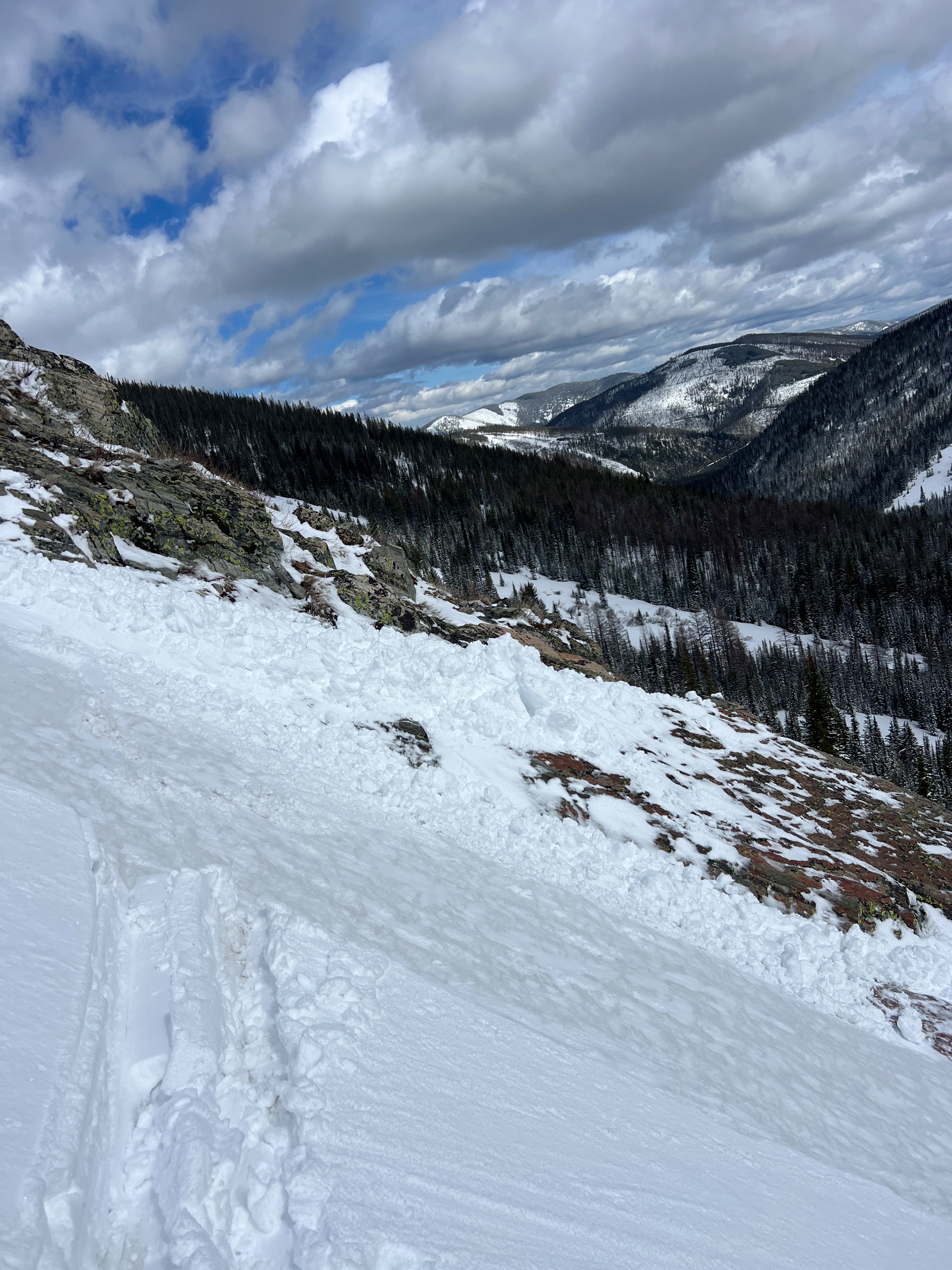
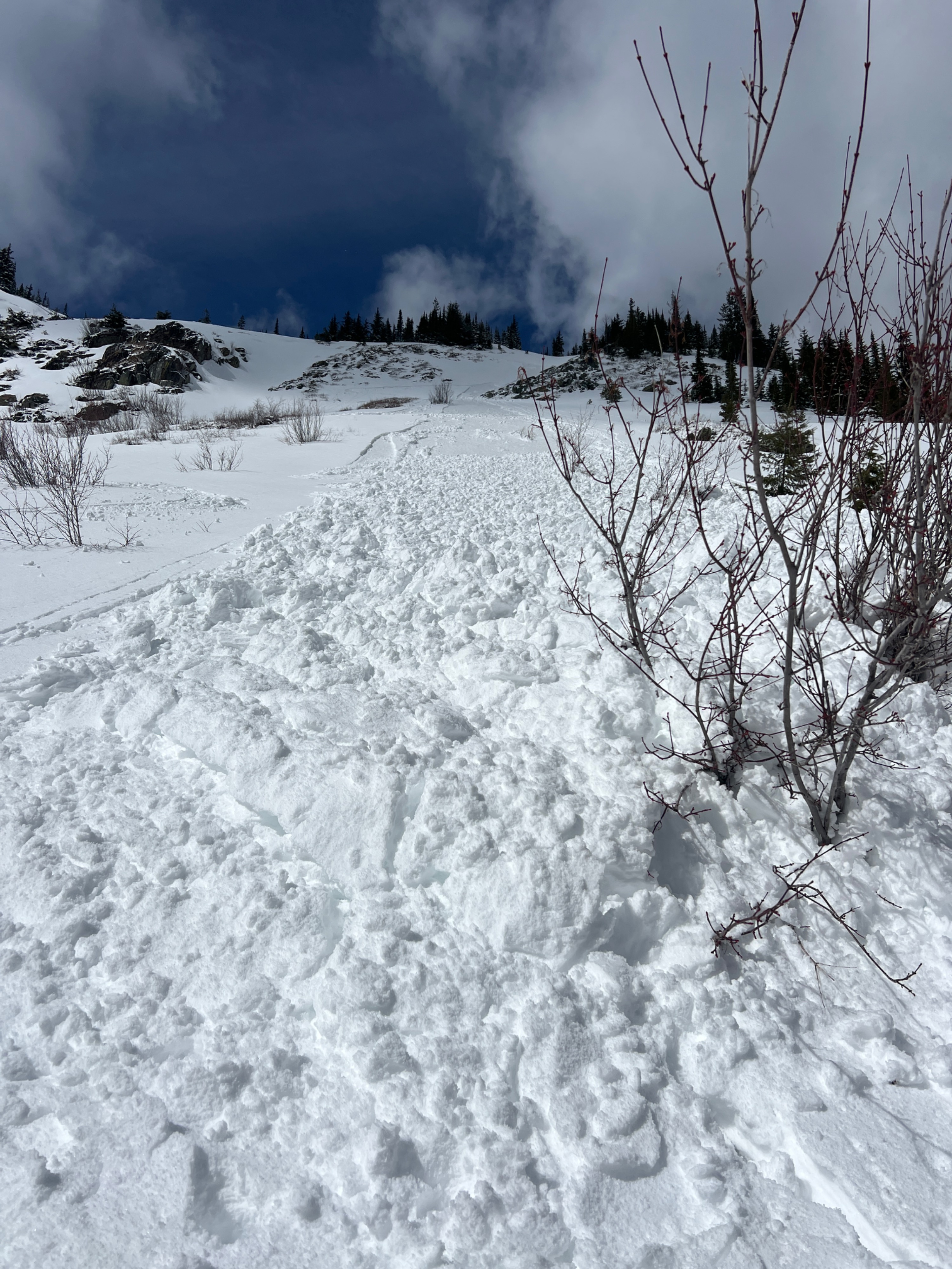
Around 1200, the majority of the morning clouds had departed and were replaced with more prolonged periods of sun. While moving up the ridge, we noted how the snow still felt pretty cold and dry in the trees and shaded aspects. While descending down an east face from 6,400 feet, the snow felt notably denser. Temperatures had risen just enough with the added sun exposure for the snow to become reactive to ski pressure, and the snow was moist enough to pick up more mass as it moved downhill. After that, small wet loose slides could be easily triggered moving across steep slopes.
Avalanche
- Size
- D2 R1
- Type
- WL
- Count
- 2
- Aspect
- E
- Trigger
- AS
- Elevation
- 5900 ft
A thick crust on the surface prior to the last round of snowfall means that current avalanche hazards are confined to the snow above the crust. 6 to 8 inches of new snow sitting on a slick surface, with periods of intense solar radiation from the late March sun, caused the snow to lose cohesion and become reactive to ski pressure, running long distances.