
Quick report
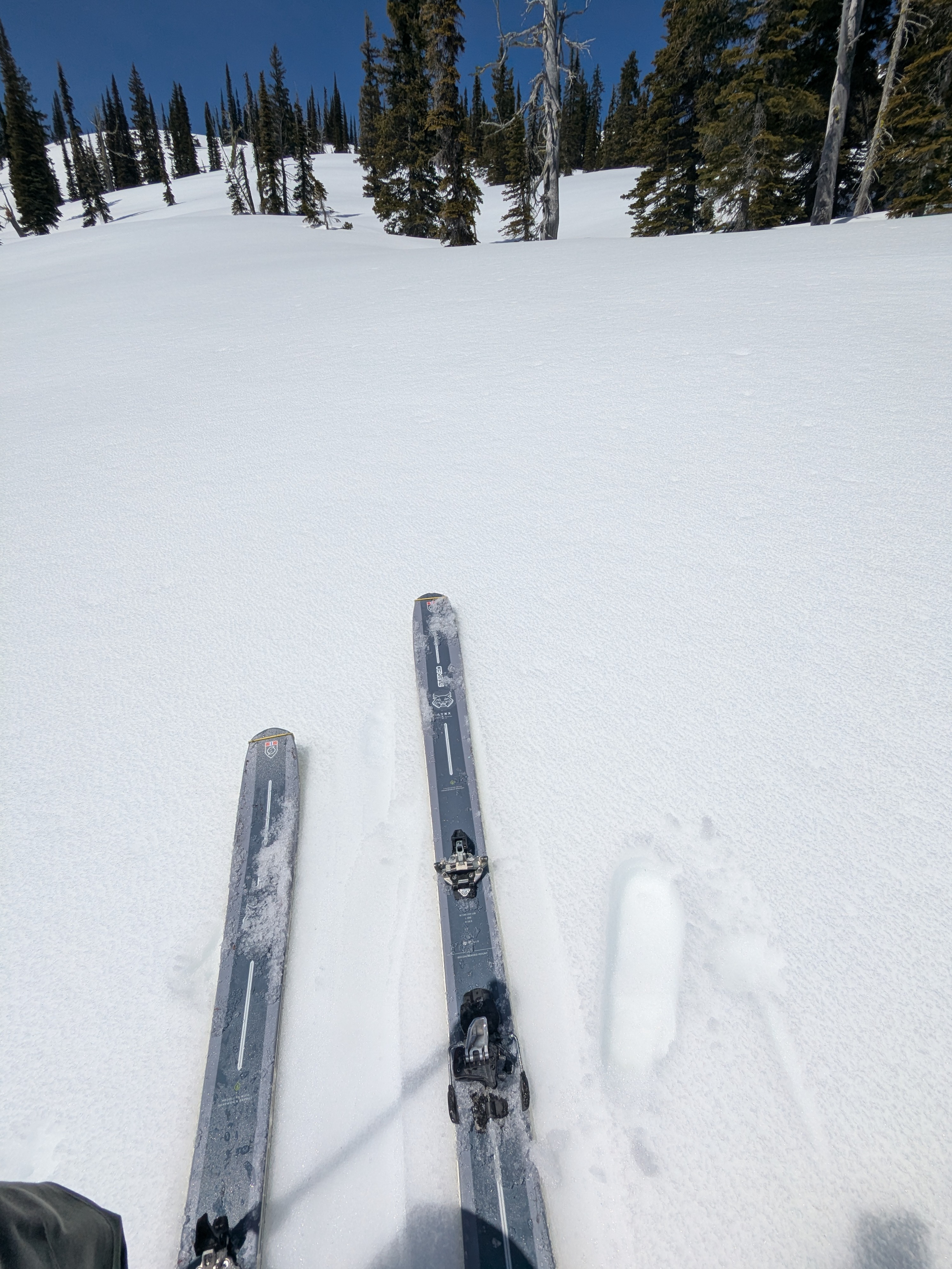
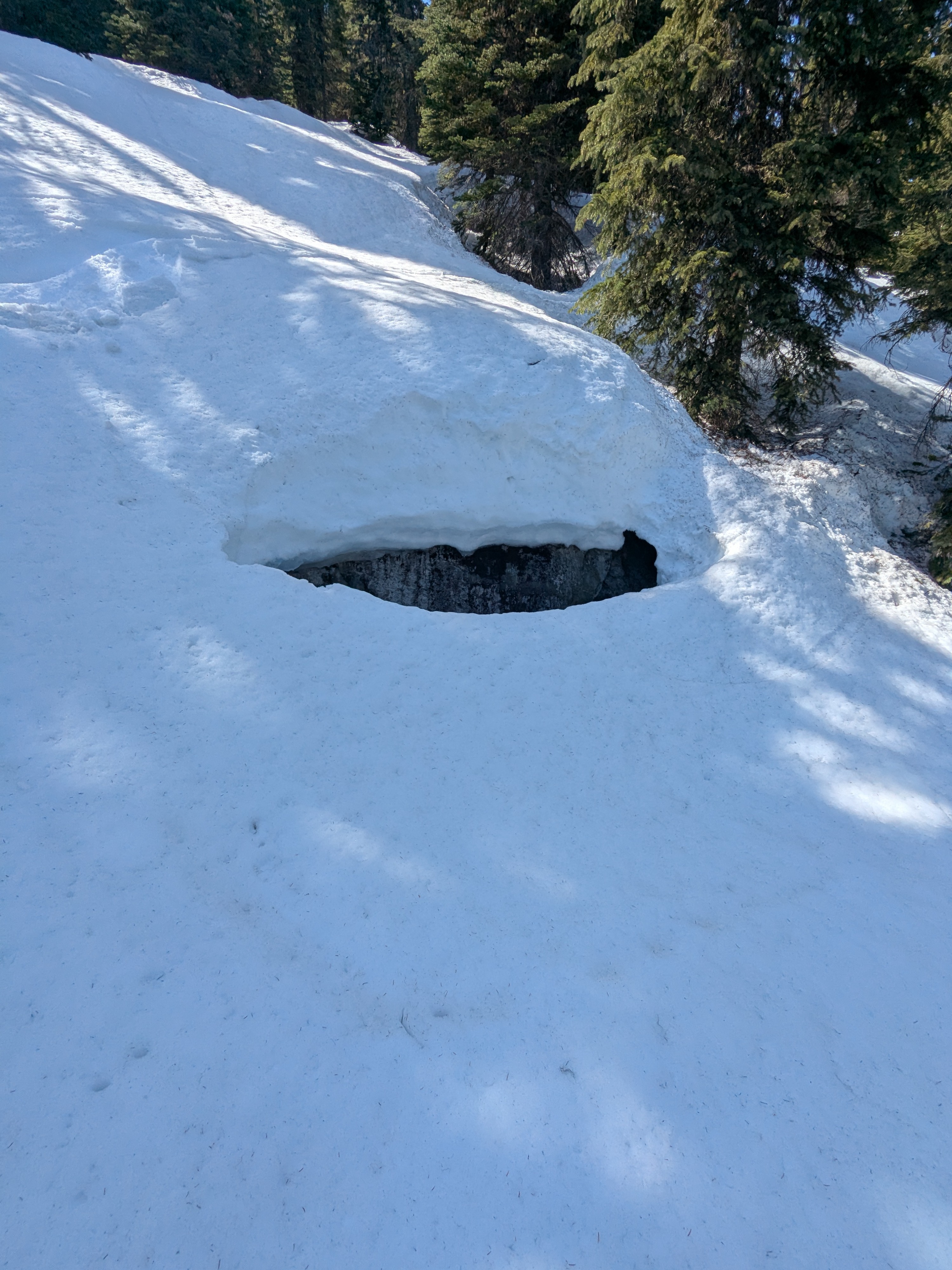
Out for one last look around before we conclude forecast operations on April 30. Despite mild overnight temperatures, clear skies helped the snow surface refreeze. This was mostly an "eggshell" refreeze up to about 5,000 feet, that then transitioned into a deeper more consistent lock-up the higher we climbed. By the time we climbed above 6,500 feet, boot and ski penetration was mostly at the surface or slightly below. Descending below 5,000 feet in the afternoon, the snowpack had turned to mush and was super collapsible. Lots of open holes around rocks and cliffs, and thinning snow bridges to be mindful of as they pose another element of hazard at mid and lower elevations - travelers be ware!
Weather
- Cloud Cover
- clear
- Wind Loading
- light
- Snow Avail For Transport
- small smounts
Splitter bluebird with light wind along ridgelines. Down right HOT at lower elevations.
Snowpack
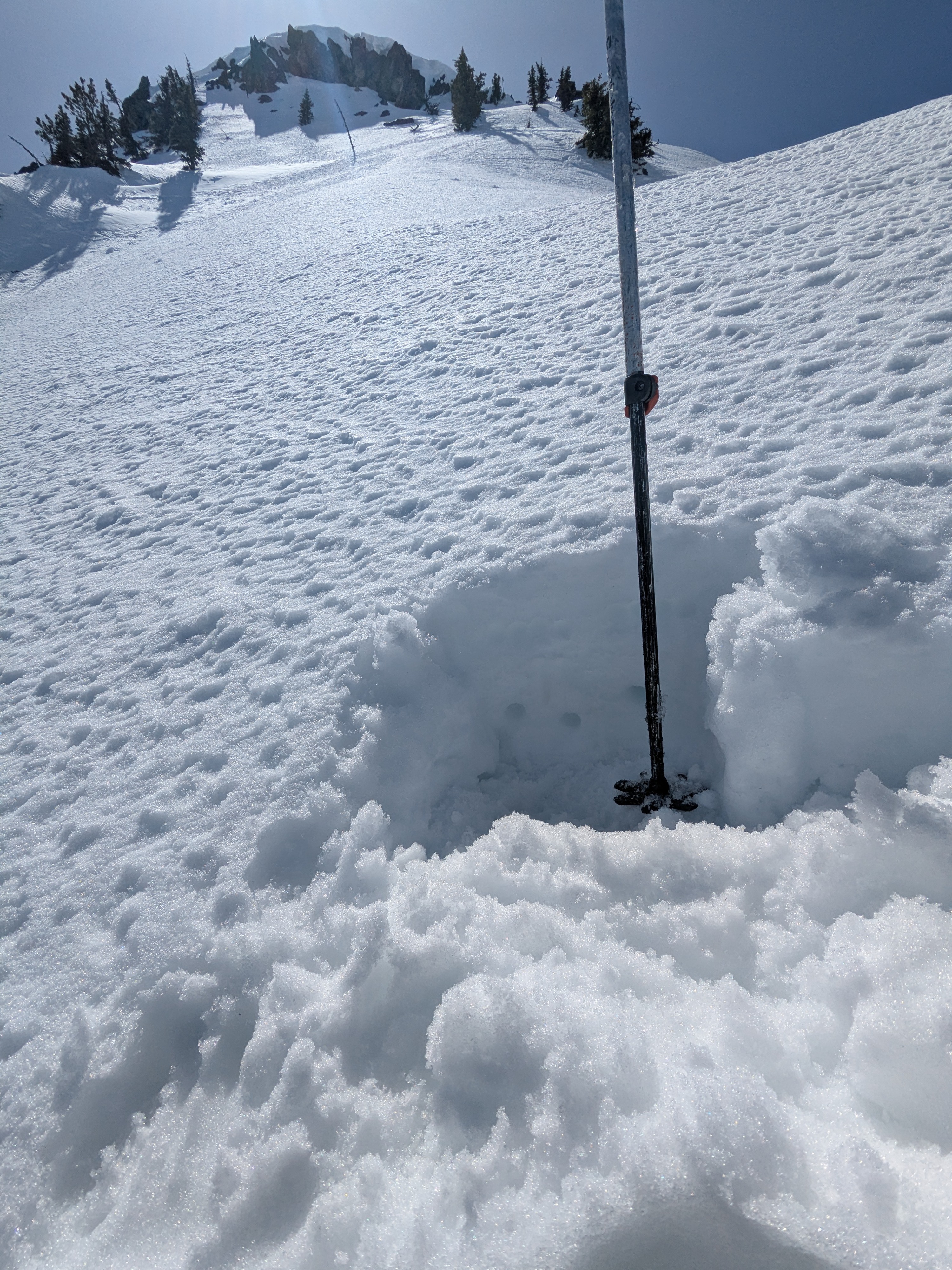
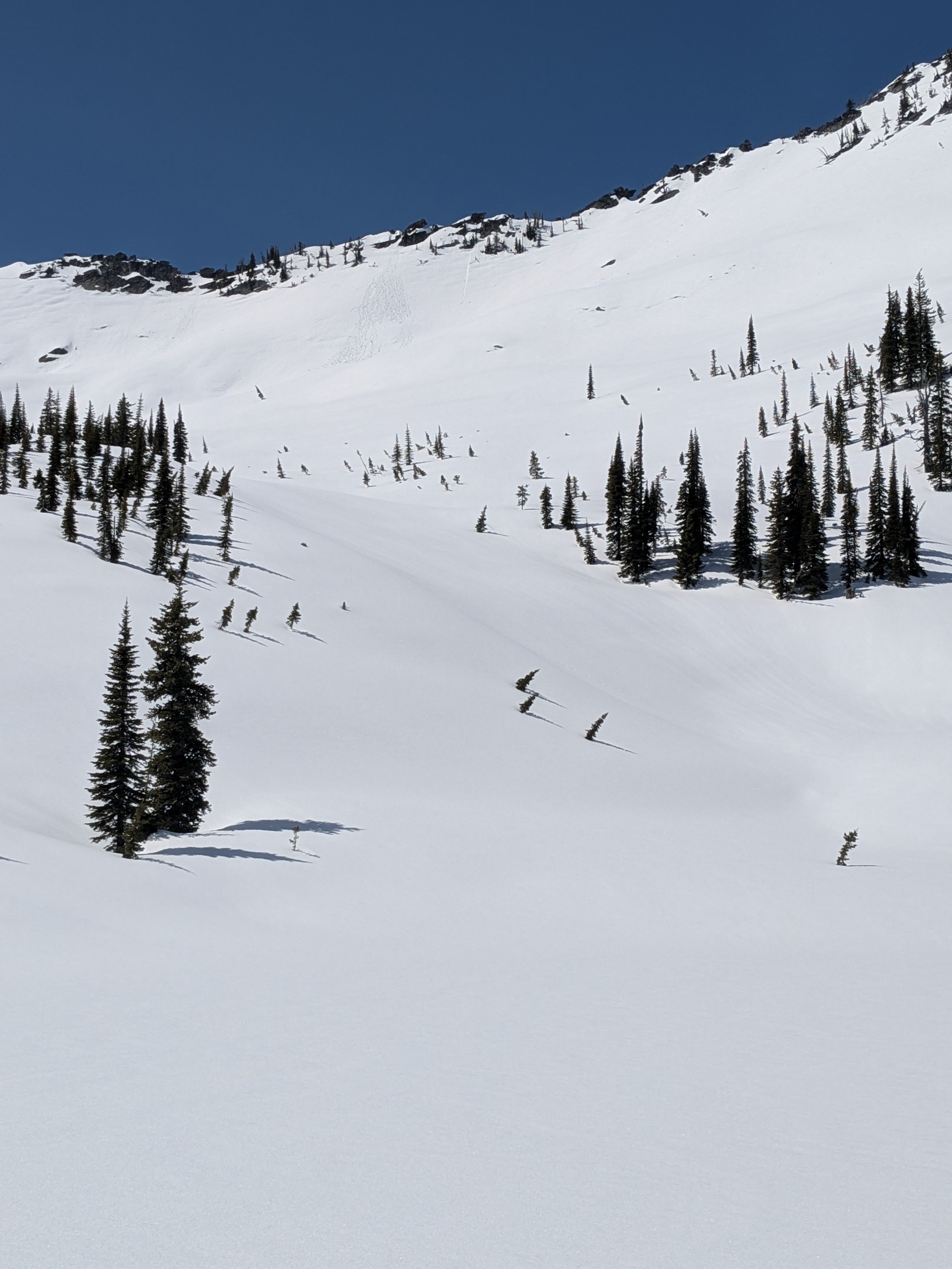
As a whole, the snowpack was hanging in there despite multiple nights of mild temperatures and weak freezes. The "eggshell" refreeze at lower elevations was supportive to skis and boots to start. This quickly transition to boot penetration (BP) around 6 to 8 inches deep between 4,500 and 5,500 feet once we climbed out of the valley cold-pool. From 5,500 to 6,500 feet, BP decreased to a couple of inches to negligable depths. Then by the time we moved above 6,500 feet, the upper snowpack was mostly locked up and supportive. Northwest, north, and northeast slopes above 6,500 feet remained cold. Snowfall from this past week ranged 6 to 12 inches at upper elevations (mostly above 6,000 feet) and sits above a knife hard crust. Hardness of the recent snowfall was 4F to 1F above the crust. Isolated deeper drifts around 7,000 feet and higher were pushing 16 inches. The top 1 to 2 inches of recent snowfall on northwest and northeast-facing slopes was starting to moisten from the warm temperatures. Ski pressure did not provoke wet snow sluffing at upper and mid elevations, but we could start to sheet the wet, manky snow downhill once we descended back to 5,000 feet and lower. The snowpack at lower elevations in the afternoon also turned very trap-door and punching through became a real concern/ hazard.
Avalanche
- Size
- D2
- Type
- WS
- Count
- 3
- Aspect
- E
- Trigger
- N
- Elevation
- 6200 ft
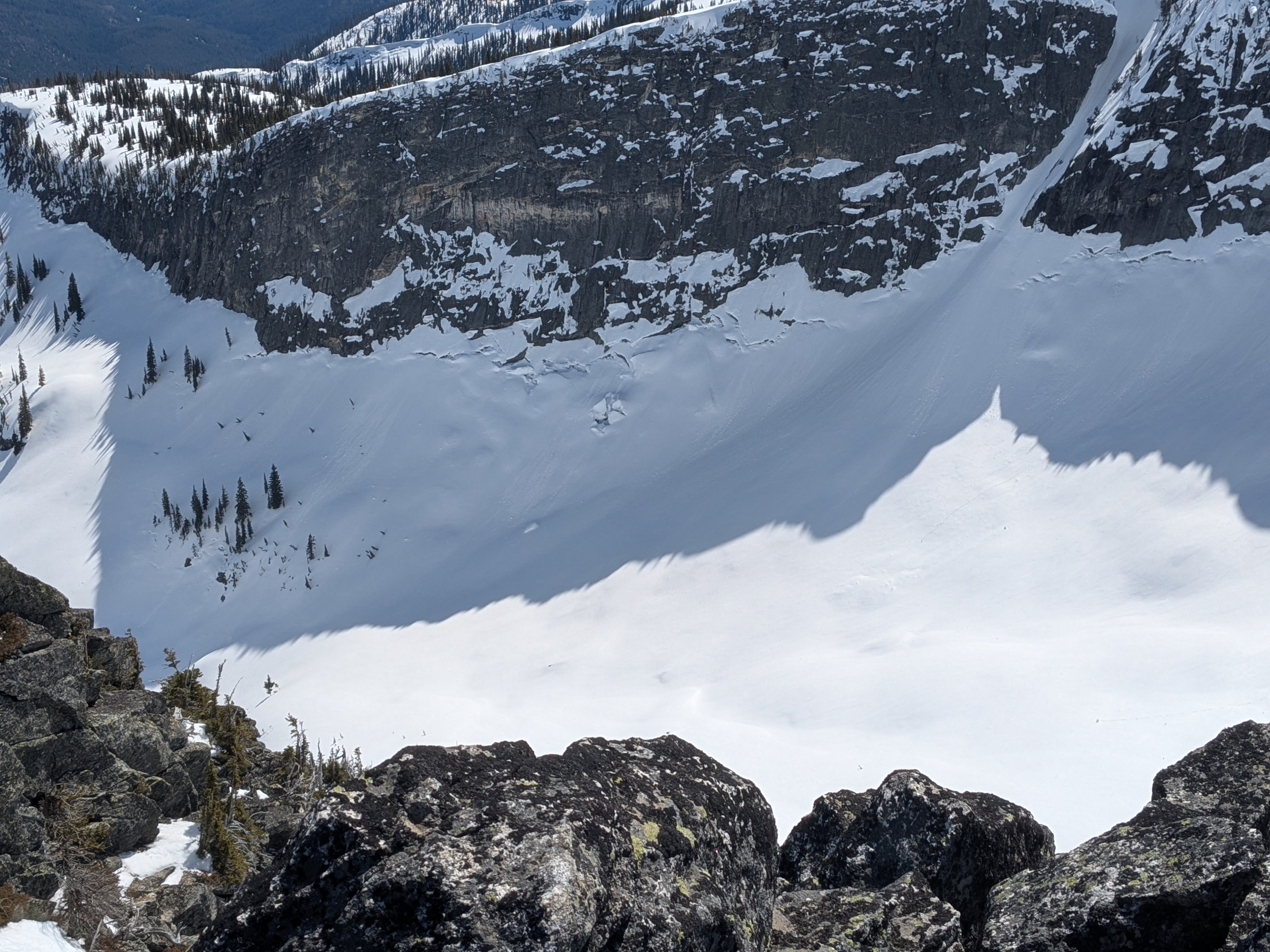
Some interesting glide/ wet slab activity that's likely a week old, or maybe sooner. Hard saying for sure on the bedrock slab ones.