
Quick report
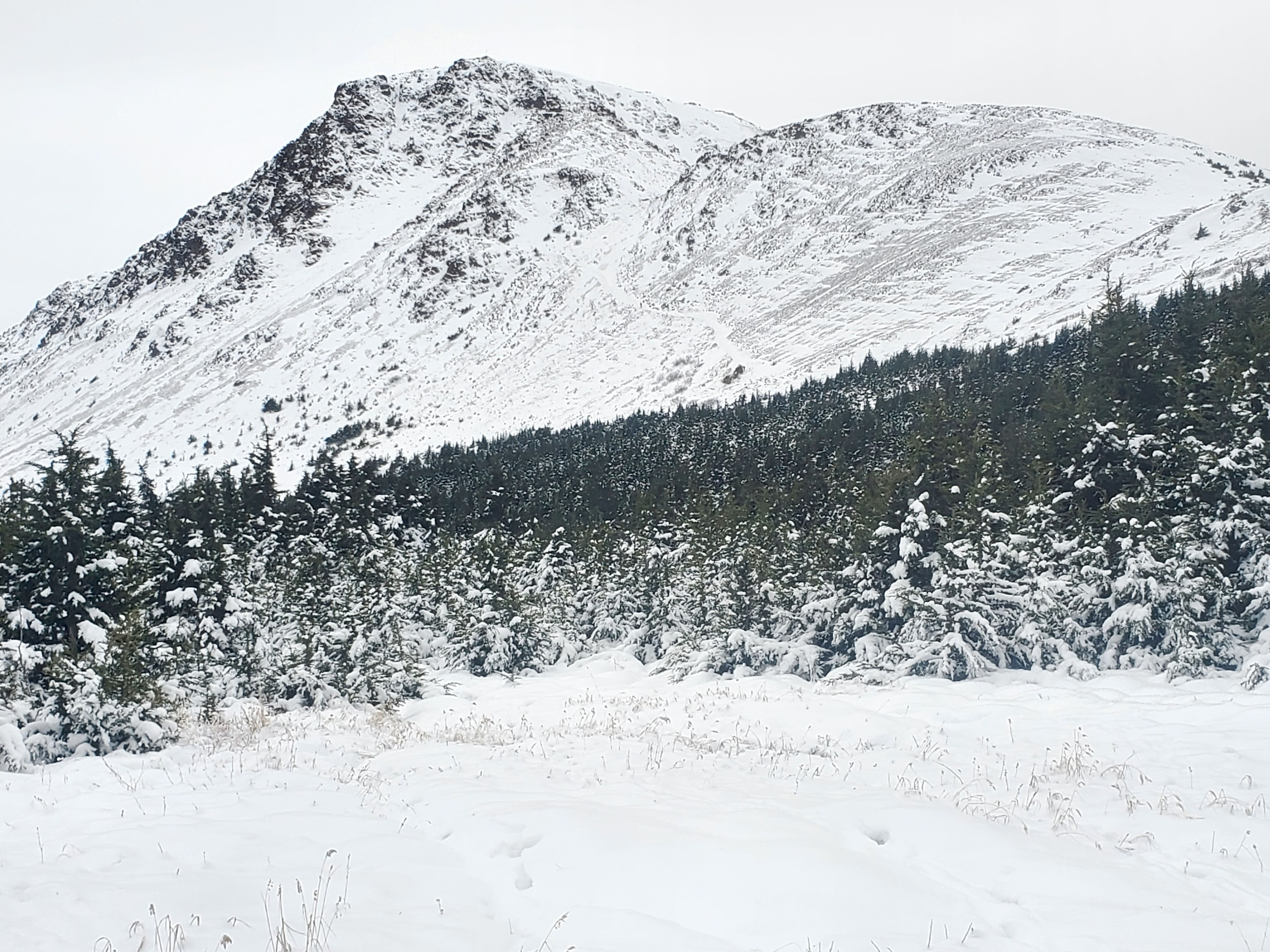
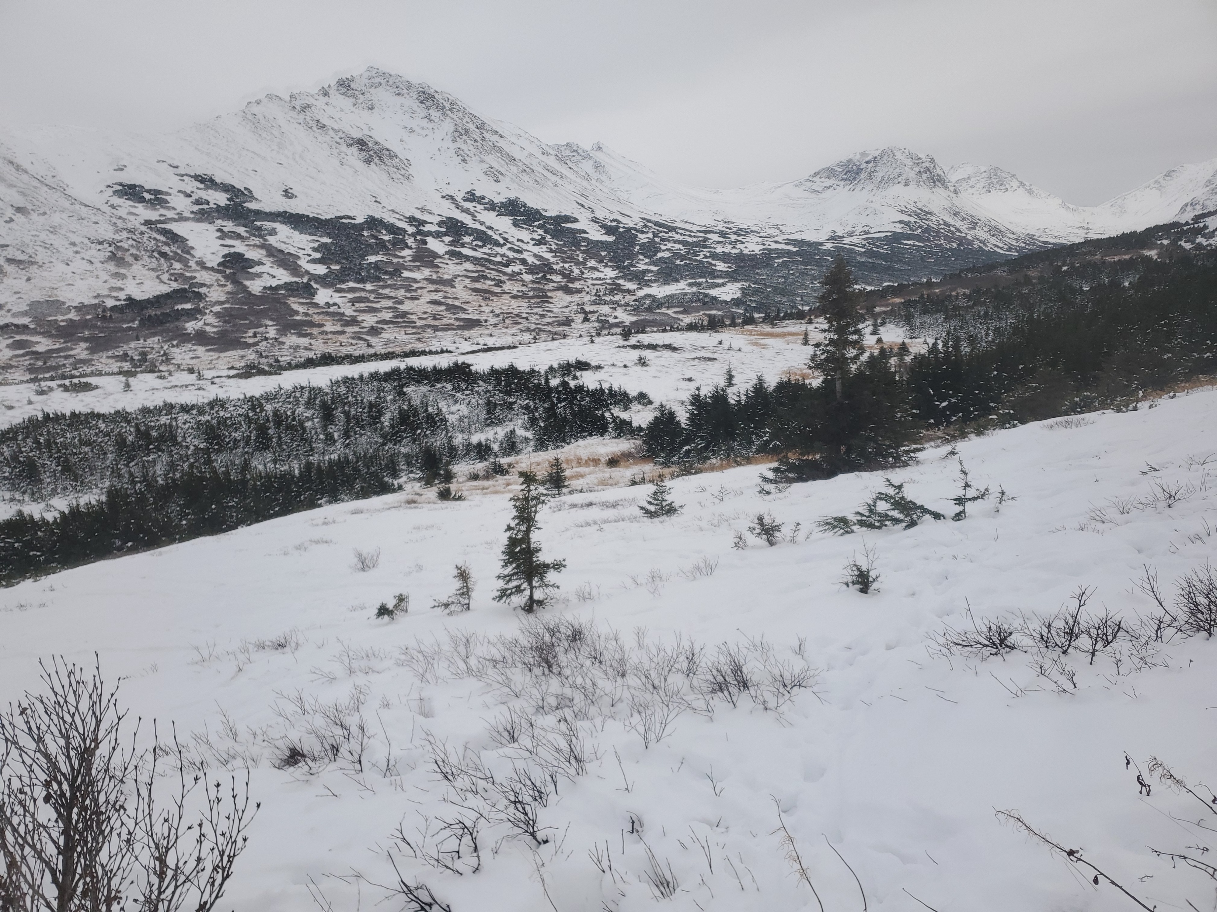
Did not observe any signs of instability. Big question is how will the incoming storm snow bond with the existing snowpack. Did not observe any signs of instability within my viewshed.
Weather
- Air Temp
- 23degrees at 1430
- Cloud Cover
- overcast
- Wind Loading
- previous
- Snow Avail For Transport
- large amounts
At 1430 skies were overcast and 23 degrees with winds 120@4-7mph. Winds picked up later in the afternoon with gusts to 17mph (pics)
Snowpack
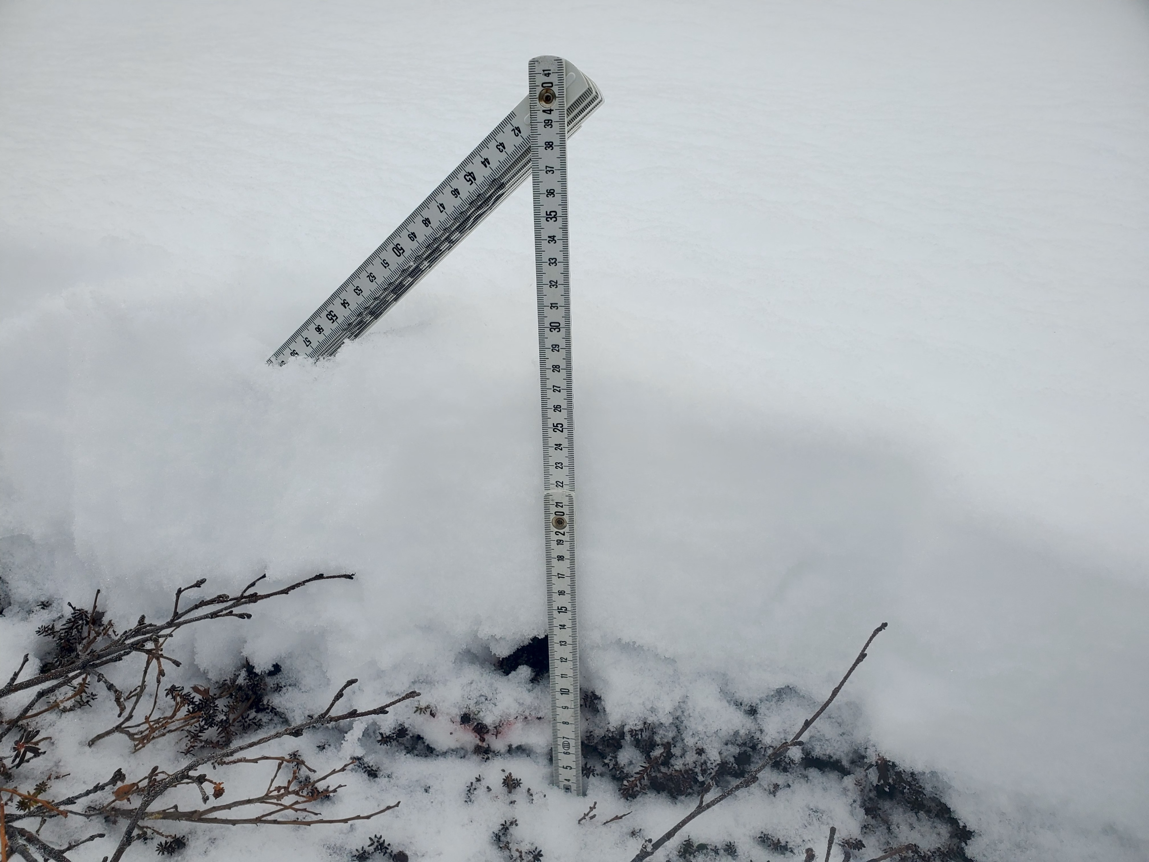
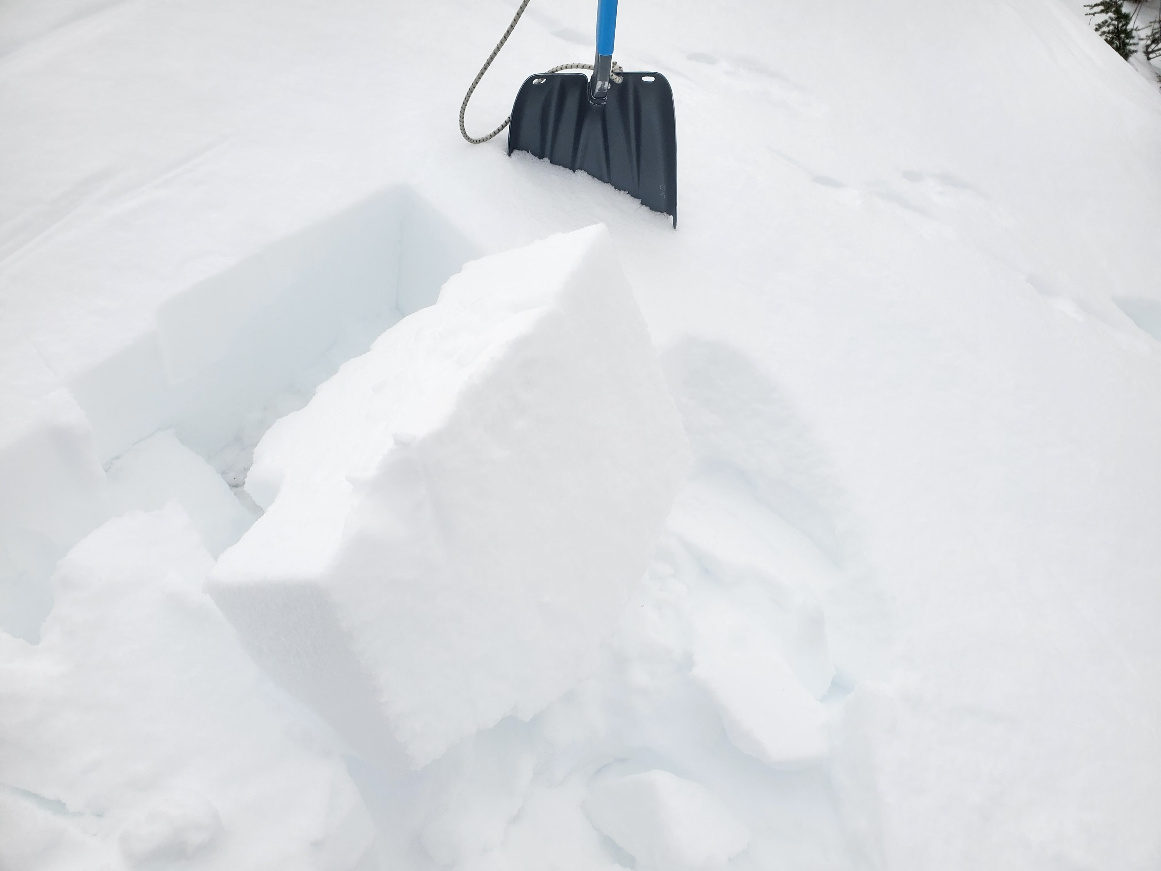
In protected area at 2441ft on NE aspect of Blueberry did quick pit. Found 27cm snowpack of mostly loose snow transitioning to facets. SA = 20degrees. Profile (pic attached) 27-17 = F steller crystals transitioning to 2mm surface hoar. 17-16 = P-K ice/melt/freeze layer, 16-Ground = F rounds transitioning to facets.. Due to thinness of snowpack did not do any stability tests. Toured around to NW aspect of Blueberry and found variable snowpack ranging from loose snow to 17cm 1F wind slab overlying 18cm of F rounds transiting to facets. Moderate hand shears (pic). Will be interesting to see what happens when new snow gets dumped on these surfaces.