
Quick report
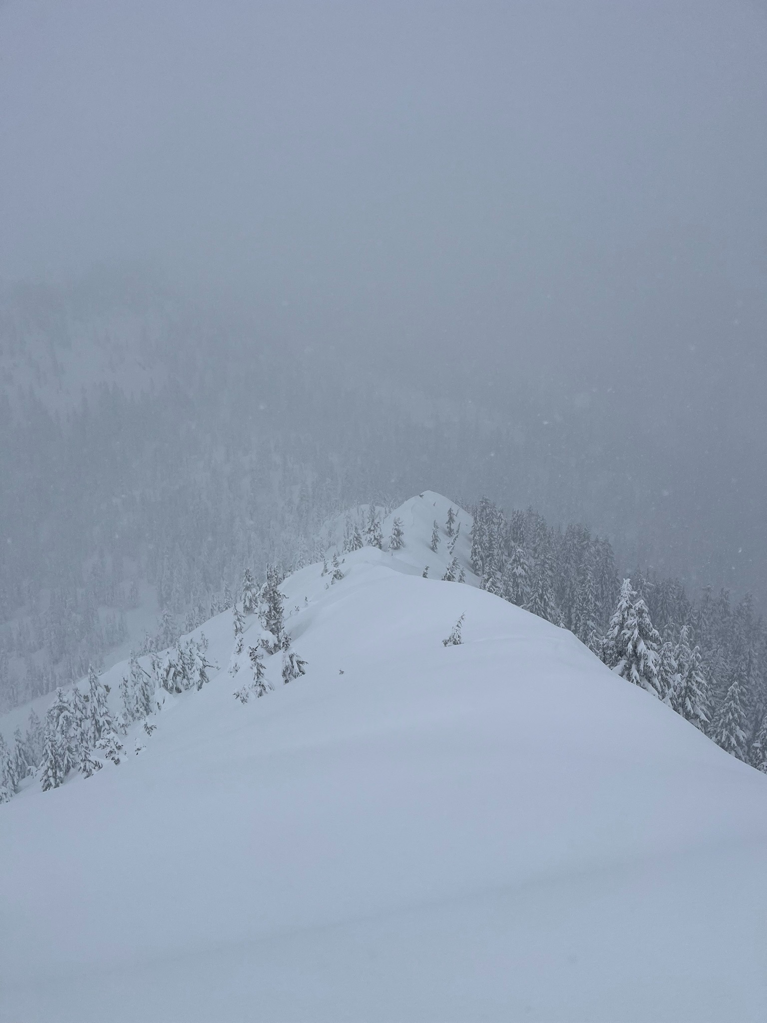
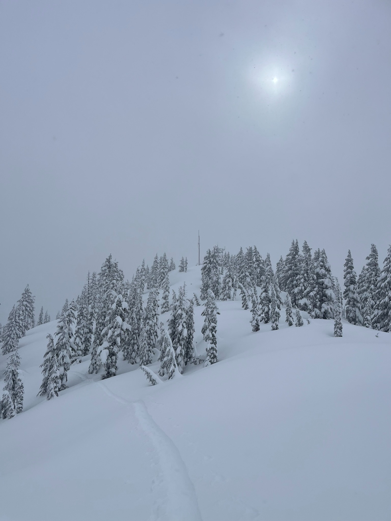
In the past 24 hours, below and near treeline elevations received 6 inches to a foot of new snow at up to an inch an hour this afternoon. While the westerly winds have been light and are yet to transport the fresh dry snow, there is plenty available to be blown around. In above treeline elevations, where more snow fell and wind is blowing moderate, wind-drifted snow is loading onto leeward aspects (E-SE-S-SW).
Weather
- Air Temp
- 24
- Cloud Cover
- obscured
- Wind Loading
- none
- Rain Elevation
- 3,500
- Recent Snowfall
- 15-30
- Snow Avail For Transport
- moderate amounts
Temperatures ranged from the low to mid 20s with light westerly wind. Steady snowfall throughout the day reduced visibility.
Snowpack
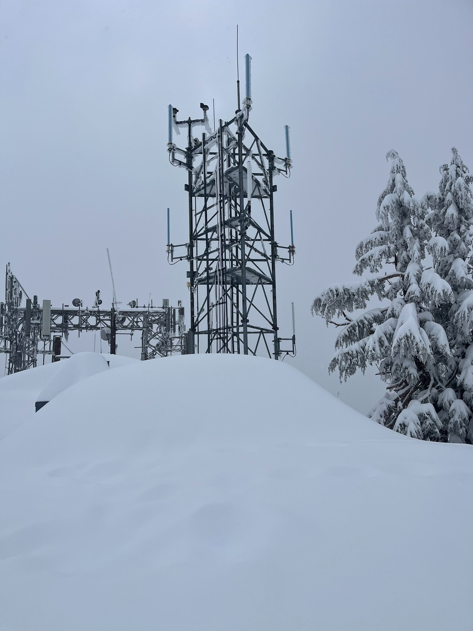
Snow depths on all aspects of Gray Butte above 7,500 feet range from 275 cm to 350+ cm (9+ feet). In multiple snow profiles on the Butte, there is a layer of concern roughly 50 cm down from the surface that is stubborn to stability tests. This is what you'll want to monitor as you step out into avalanche terrain: as you move down through the top 50-70 cm of snow, you'll first find the new "Fist" hard snow followed by a firmer "4 Finger" strip that is resting just above a weaker layer of loose "Fist" hard snow grains. This layer may become more sensitive to stability tests and the weight of a snowmobiler or skier if the wind speed increases and transports additional weight (snow) onto this weak interface.
If you're thinking: What does 4 finger or fist hard snow have to do with avalanches? You can learn more about this snow nerd jargon here.