
Quick report
Good to be back out and it is really nice to see a lot of snow!
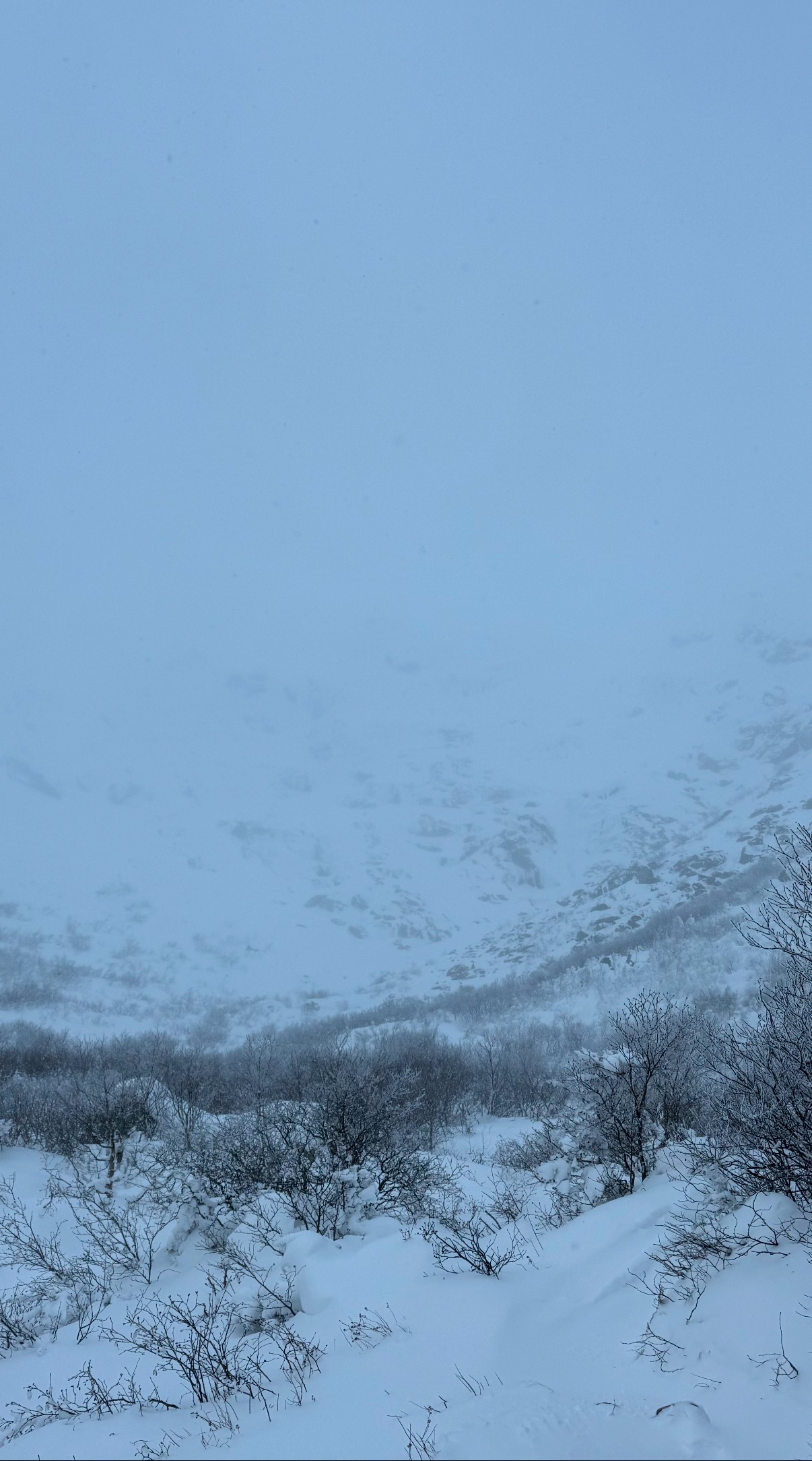
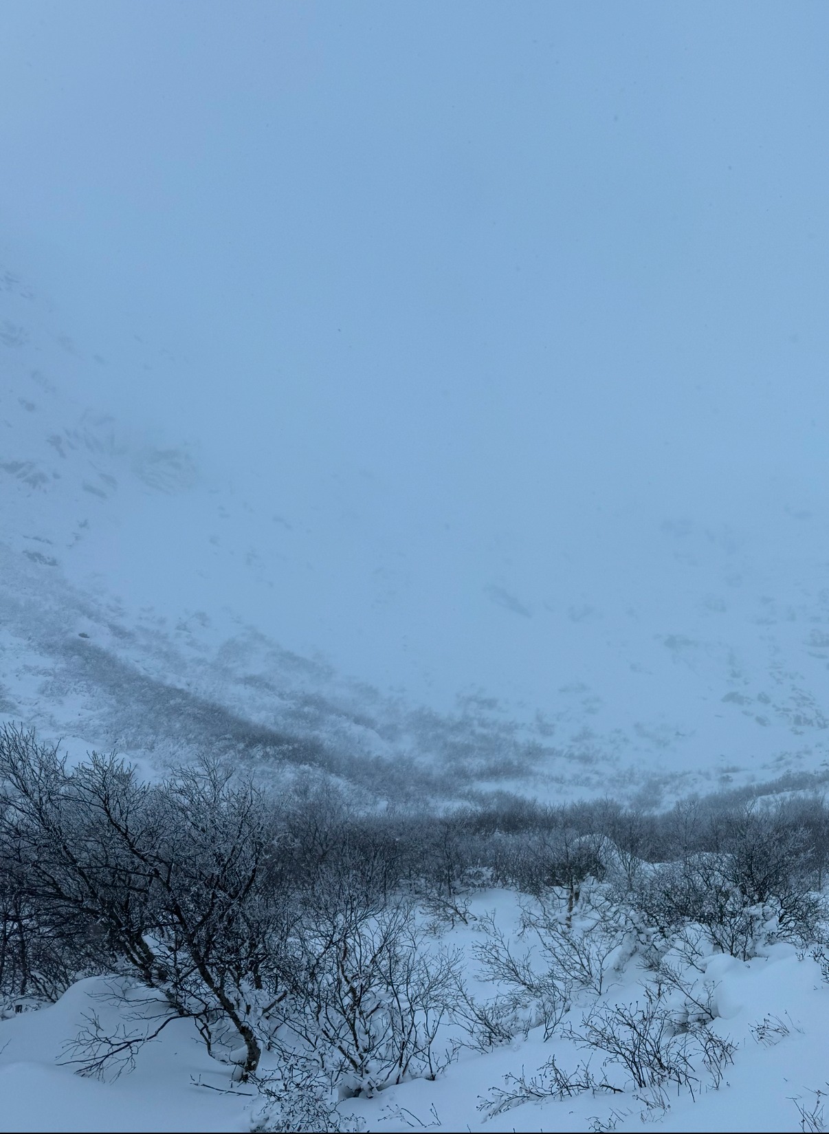
A quick summary is that foggy conditions limited what I could see, but in moving around the terrain and looking at pictures posted (thank you backcountry community! Each observation is incredibly valuable and read by our staff and many others).
I found 2-6 inches of slight wind affected snow that lacked cohesion or slab characteristics. That being said, I would still assess each pocket of snow that you may encounter due to spatial variability (explain this more below).
Early season conditions house other hazards like exposed rocks and trees, be thoughtful in terrain selection as a small avalanche above these can have surprisingly big consequences.
Weather
- Air Temp
- 12 F (Hermit Lake)
- Cloud Cover
- obscured
- Recent Snowfall
- 3.6
- Snow Avail For Transport
- moderate amounts
Eastern aspects seemed in and out of the clouds with short windows of visibility,
Snowpack
Was hoping for some visibility to get a better sense of slab development across Tuckerman Ravine. Unfortunately fog, snow, and blowing snow limited visibility (but the fog lifted when I was back in the courtyard which felt typical haha)
Moving around in the Ravine floor I found variable surface conditions, a few places that were wind scoured, but most surfaces had 2-6 inches of just slightly wind affected snow. The snow lacked cohesion, and in what I found, did not demonstrate slab characteristics (but this was a limited sample set). Underneath the snow surface was firmer and boot/ski supportable.
Skin tracks were beginning to fill back in from consistent light snow throughout the day and blowing snow. Higher in the ravine floor it was harder to make out where skiers had previously been as those tracks were more filled in. Wind was moving snow steadily from about 1:30-2:30 PM. Not being able to see higher in terrain I was unable to ascertain if it was loading productively, but this would be something I would be looking for evidence of tomorrow with windows of forecasted clear visibility as it is a great tool for navigating the terrain, and has been limited over the past few days.
I have been reflecting a bit on typical early season conditions and decided I wanted to share some of those thoughts. I think we all get used to mid/late season conditions of wall to wall slabs. Early in the season the snow falls on incredibly rocky terrain. It takes a few(many? Different year to year by snow amounts, wind etc.) consecutive storms to build up enough depth/base to extend over and across these rocks. Now we are at the funny time where there is enough snow to ski, but the terrain is not connected. Many thin/shallow spots exist and these will become less and less obvious as those rocks disappear with future storms and wind loading.
Currently you can see those rocks poking out (even with limited visibility you can see the contrast) and then there are these pockets of bright white snow. Each of these need to be evaluated separately because of the spatial variability. Some of these pockets seem to harbor dry, soft, cohesionless snow while other pockets may be deeper and others may be denser. How wind has impacted the snow can be incredibly variable and right now each of these pockets need to be assessed individually.
The lack of connected terrain currently limits the size of potential avalanches, but that does not mean that these are harmless. Early season conditions of rocks and trees are especially consequential as they are not yet buried and a small avalanche could pull you into these where there is an increased risk of injury.