
Quick report
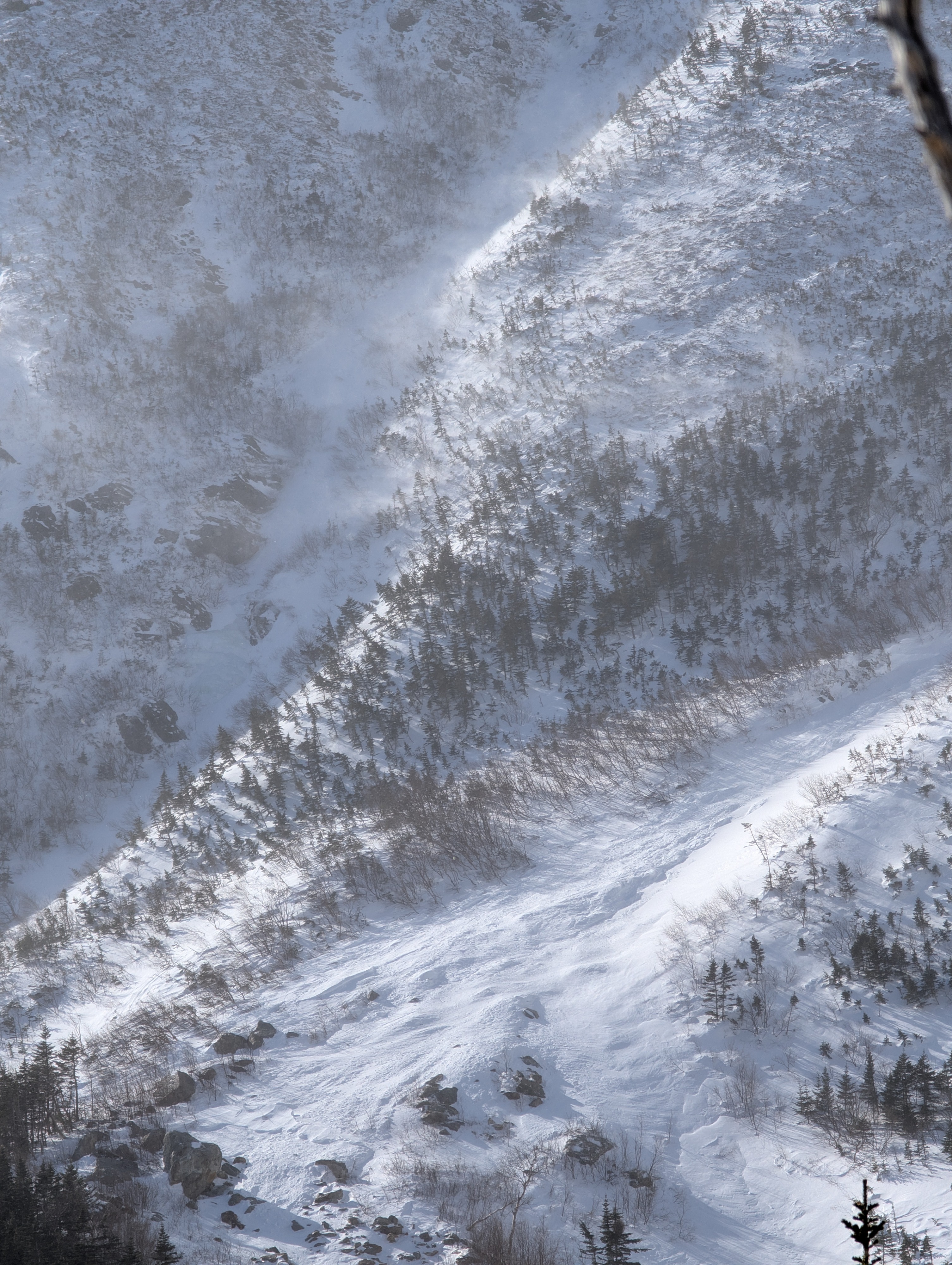
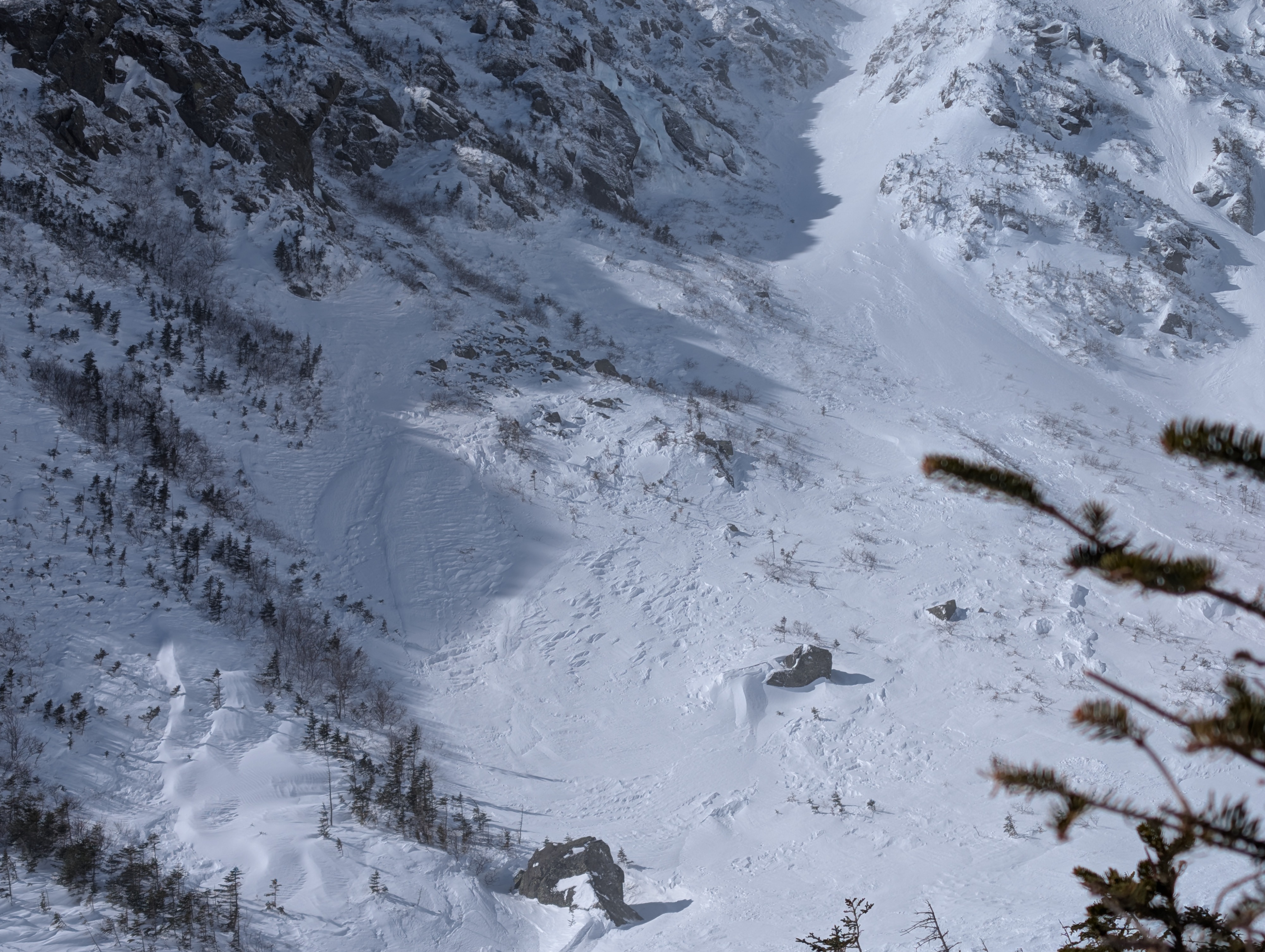
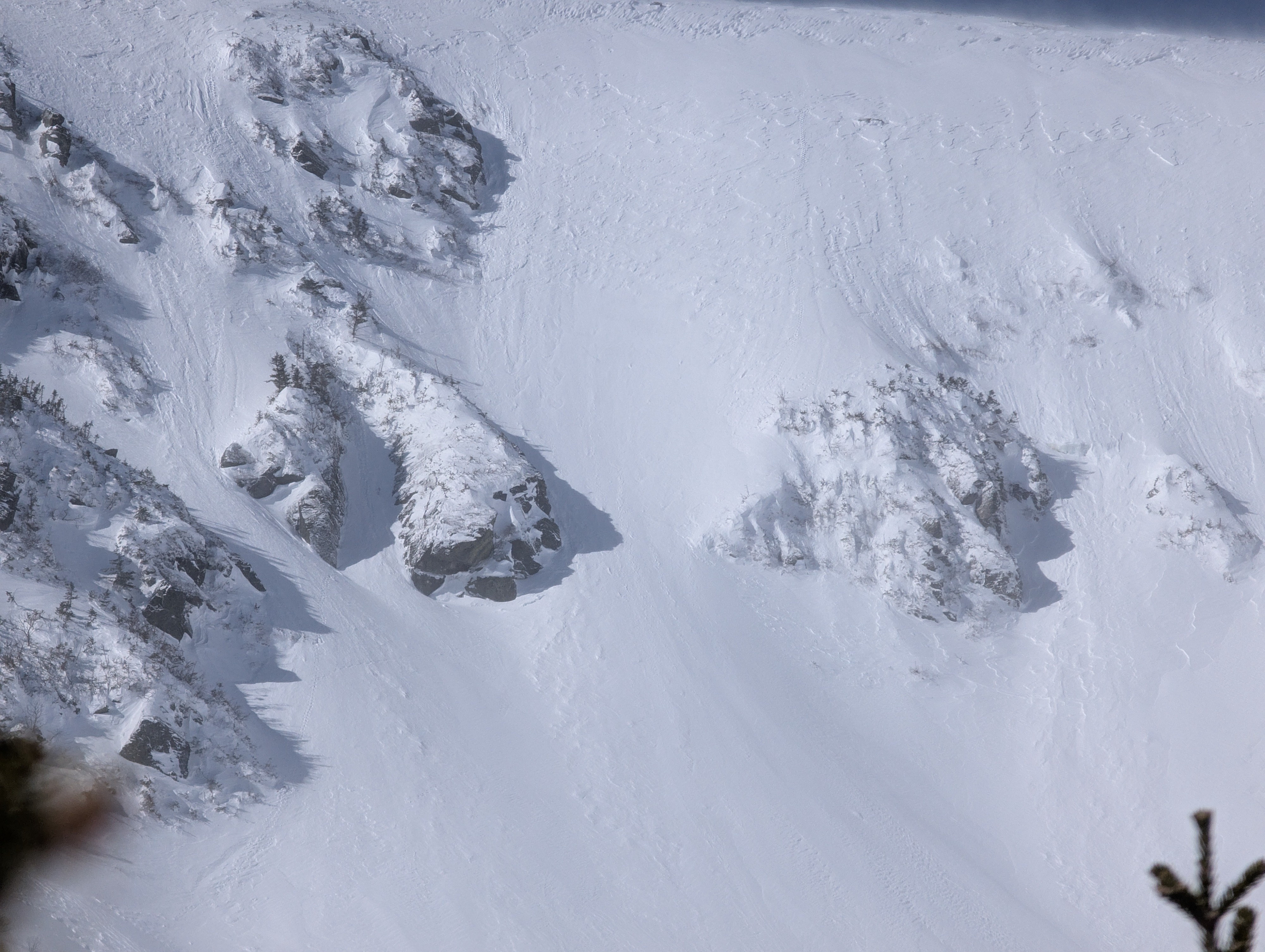
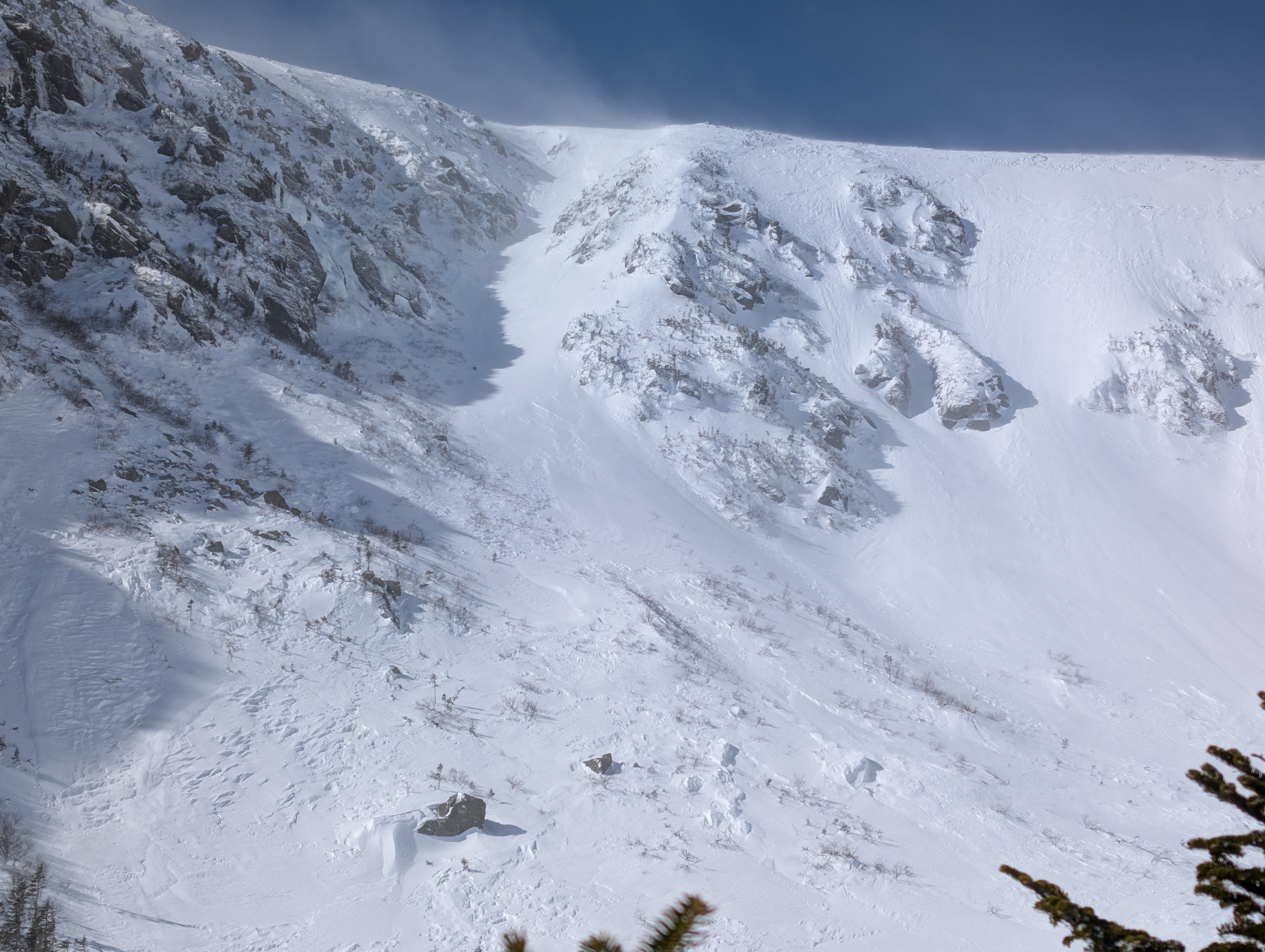
Overall, the strong winds were working hard to drive stability today. While snow transport was continuous and visually impressive, the drifting snow behaved as wind-broken, granular fragments that did not readily bond into cohesive slabs in the locations we assessed. The ravine floor and upper elevations were largely scoured, with only shallow, dense drifts preserved in protected micro-terrain. Some mid-elevation slab formation was visible on easterly aspects, but thickness could not be confirmed from our position.
Weather
- Cloud Cover
- few
Estimated single digits F with very strong wind. Sunshine, lots of snow particles in the air.
Snowpack
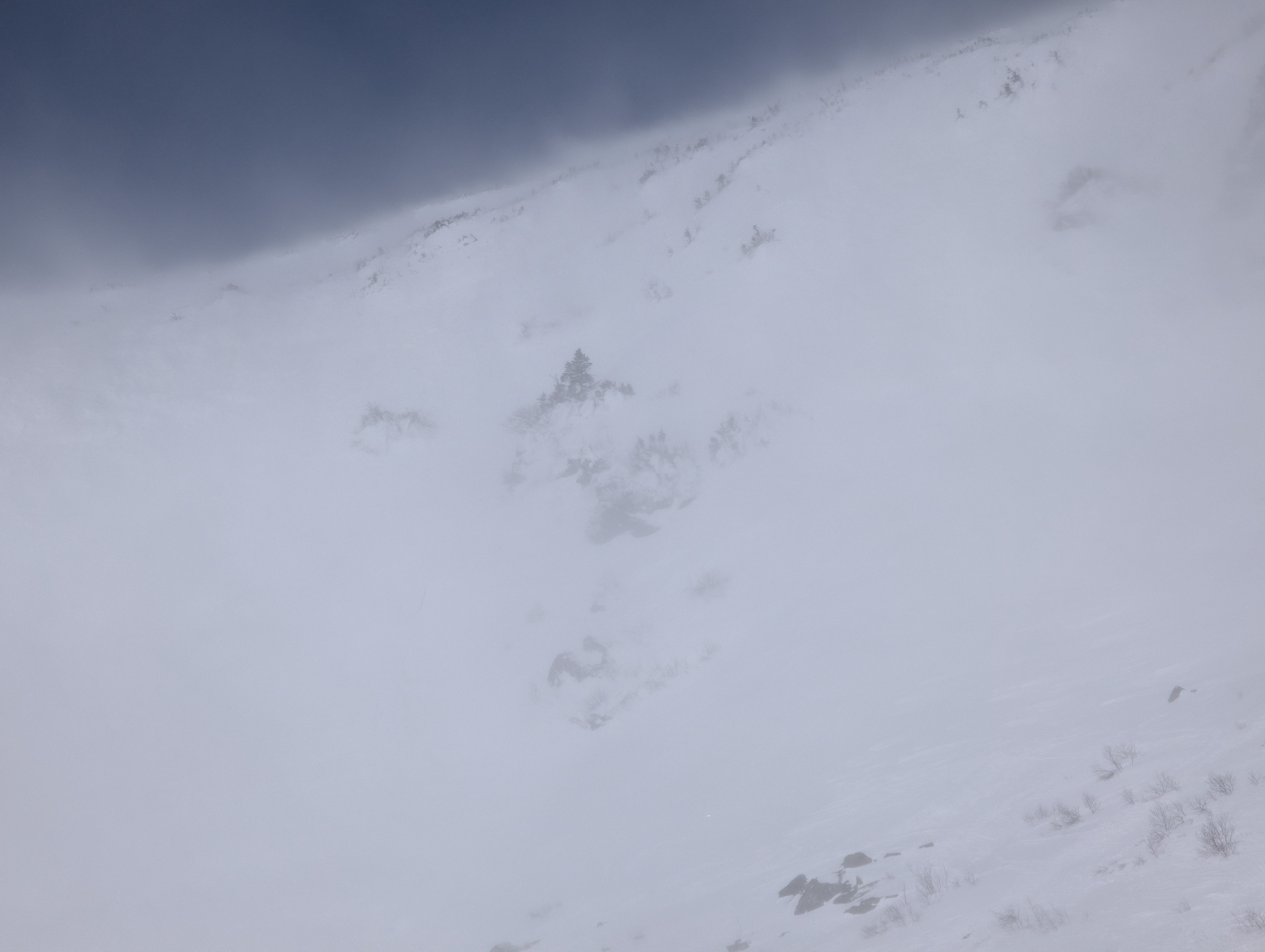
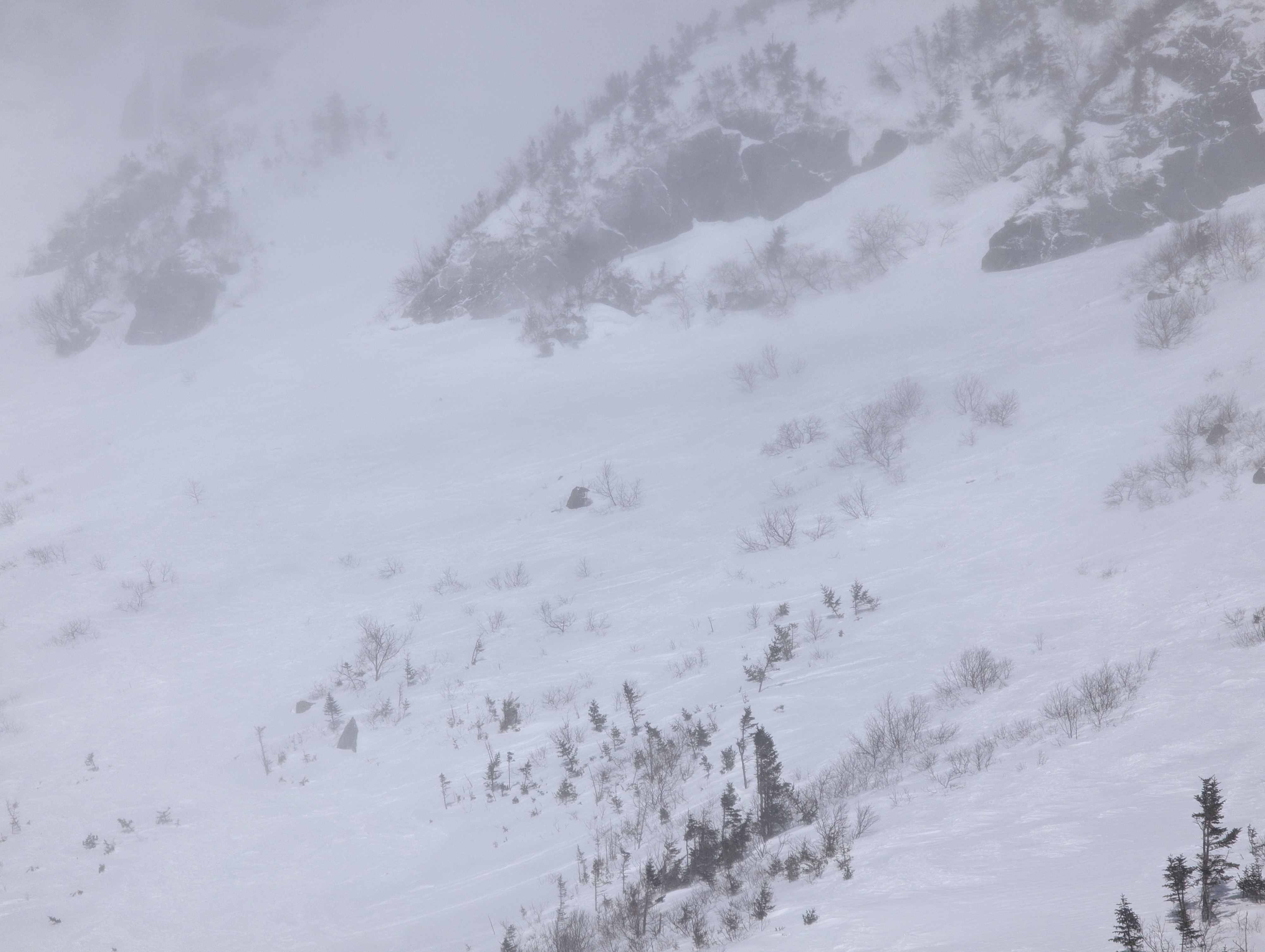
Assessment Limitations: Very strong winds and bitter cold limited the amount of terrain we could safely and effectively assess. Visibility was generally excellent and allowed confident visual assessment of most slopes; however, slight fog obscured surface detail on some southeast aspects, particularly around the Lip and Sluice, limiting our ability to evaluate surface details.
Recent Weather: 2–3 inches of low-density snow fell yesterday with NE winds shifting N, then NW overnight. Winds increased overnight to approximately 60–70 mph, then remained strong today around 40–50 mph from the NW. Field conditions today were cold, clear skies, and excellent visibility with continuous snow transport visible in the air.
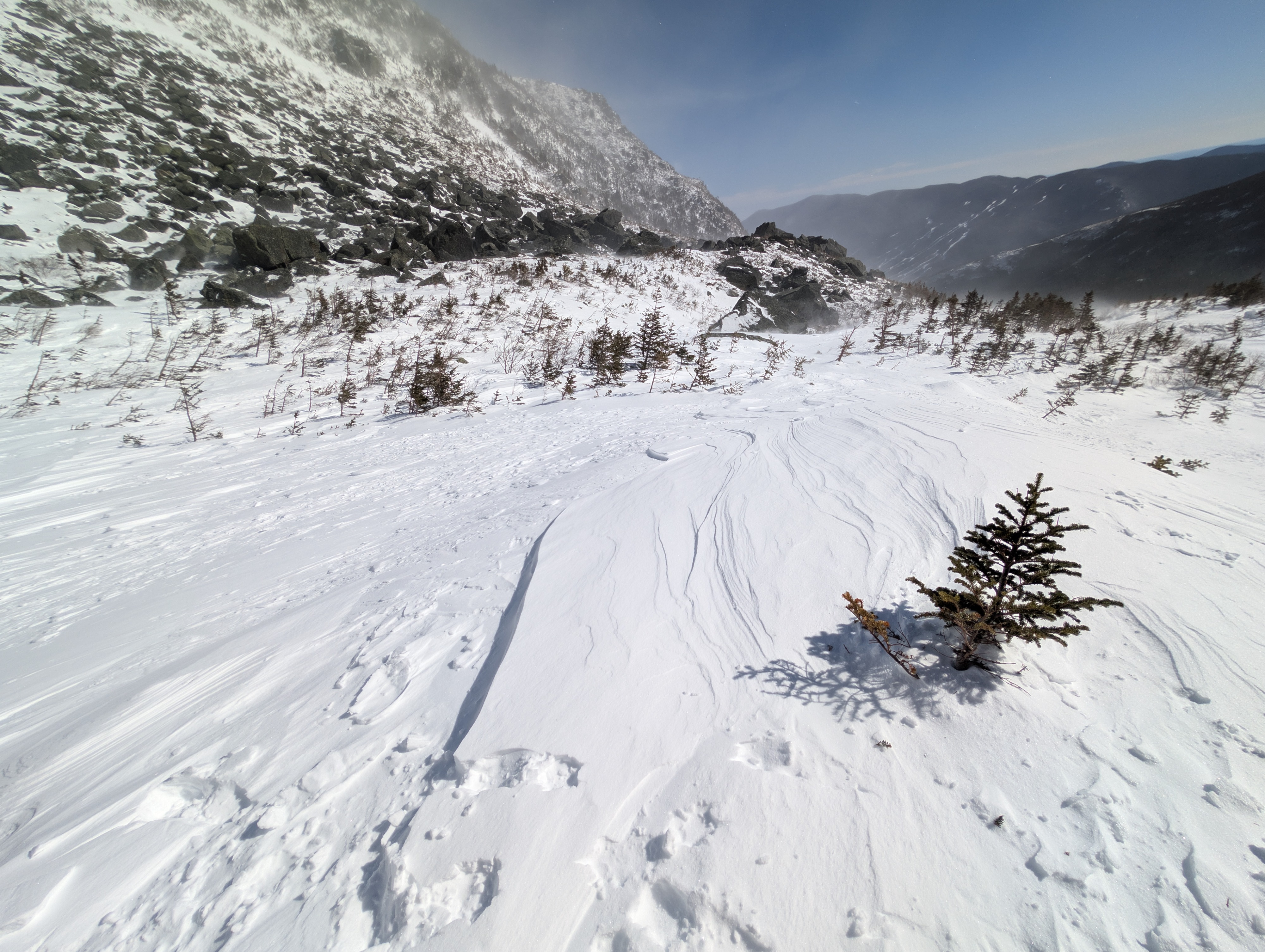
Snowpack Structure: Once past Connection Cache and into the ravine, the ravine floor was largely scoured to the older hard snow surface. Shallow, dense drifts were confined to protected micro-features: behind small ridges, rollovers, and along treelines where drifts were 12–14 inches deep and generally supportable (hard finger+ to pencil hardness).
Looking into the gullies and start zones, upper elevations appeared scoured, especially on exposed easterly terrain. Lower on the slope, we noted a few smoother-looking pockets wind slab, which appeared thin from our position, though we could not verify thickness. Due to brutally cold temperatures and strong winds, and because we did not encounter deeper slab development in the terrain we accessed, we did not conduct formal stability tests. We also did not identify a distinct weak layer in the snow we were able to assess.